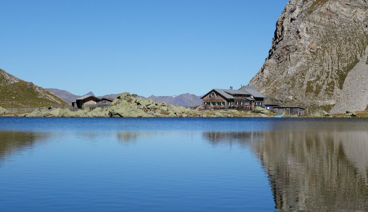
This hiking tour in the Carnic Alps leads to the beautiful Lake Obstans at 2,300 m a.s.l. above Kartitsch
Image gallery: Hike to the Obstansersee-Hütte mountain hut
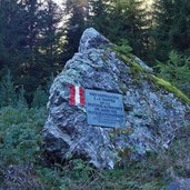
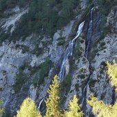
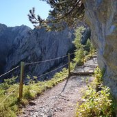
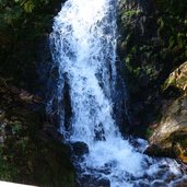
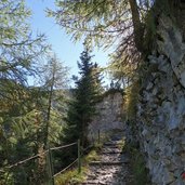
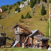
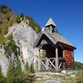
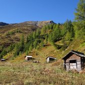
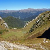
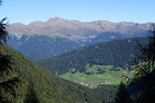
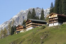
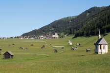
The ideal starting point for this hike is the parking space at the sports grounds of Kartitsch. We walk on the forest path for about 2 km through the Winklertal valley to the waterfall. Here the trail along the rocks starts which overcomes about half of the height metres in a short time and leads us to the Obstanser Boden. This is a small high landscape with alpine meadows, also a shelter and the small Prince Henry Chapel can be found here.
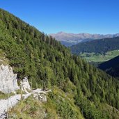
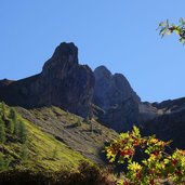
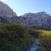
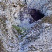
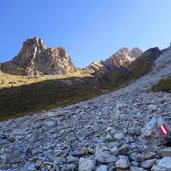
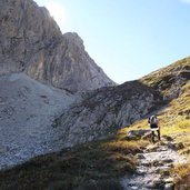
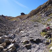
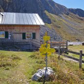
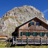
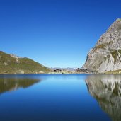
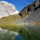
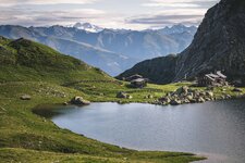
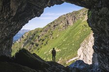
After passing through the meadow, the route continues in serpentines through the rocky landscape up to 2,300 m a.s.l. We walk past the ice cave and finally reach the Obstansersee Mountain Hut (Obstansersee-Hütte), where we enjoy our deserved lunch. Right behind the mountain hut, the beautiful Lake Obstans is located. On beautiful days even the Grossvenediger and Grossglockner mountains are visible. For our way back we take the same route.
Author: AT
-
- Starting point:
- Kartitsch, parking space at the sports grounds
-
- Overall time:
- 04:00 h
-
- Total route length:
- 11,5 km
-
- Altitude:
- from 1.410 m to 2.305 m
-
- Altitude difference:
- +905 m | -905 m
-
- Route:
- sports grounds - waterfall - Prince Henry Chapel - Lake Obstans
-
- Signposts:
- Obstansersee-Hütte, no. 466
-
- Resting points:
- Obstanser Seehütte mountain hut
-
- Recommended time of year:
- Jan Feb Mar Apr May Jun Jul Aug Sep Oct Nov Dec
-
- Download GPX track:
- Hike to the Obstansersee-Hütte mountain hut
If you want to do this hike, we suggest you to check the weather and trail conditions in advance and on site before setting out.
