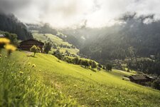
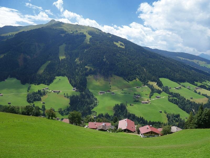
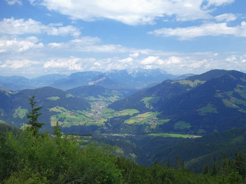
From Rossmoos up to almost 1,800 m a.s.l. through the alpine pastures of Alpbach: The Schatzberg alpine pasture opens the view over the Wildschönau to the Kaiser Mountains
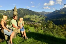
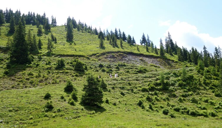
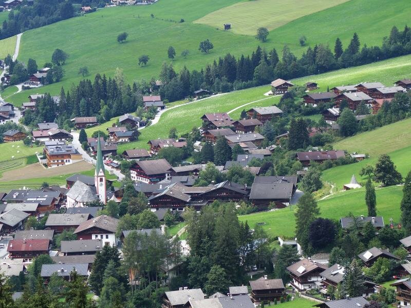
Image gallery: Hike to the Schatzberg mountain
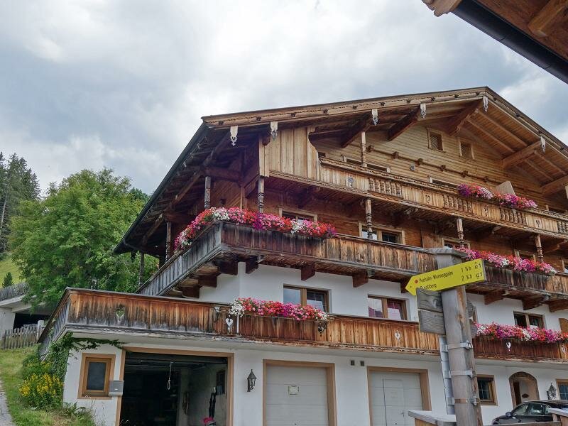
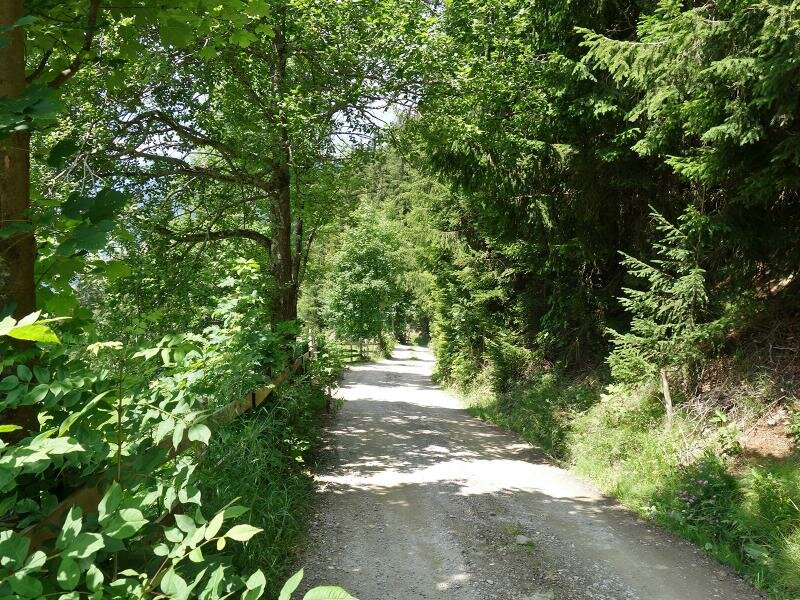
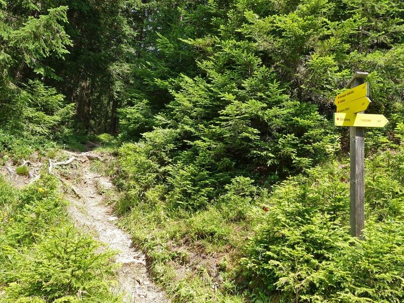
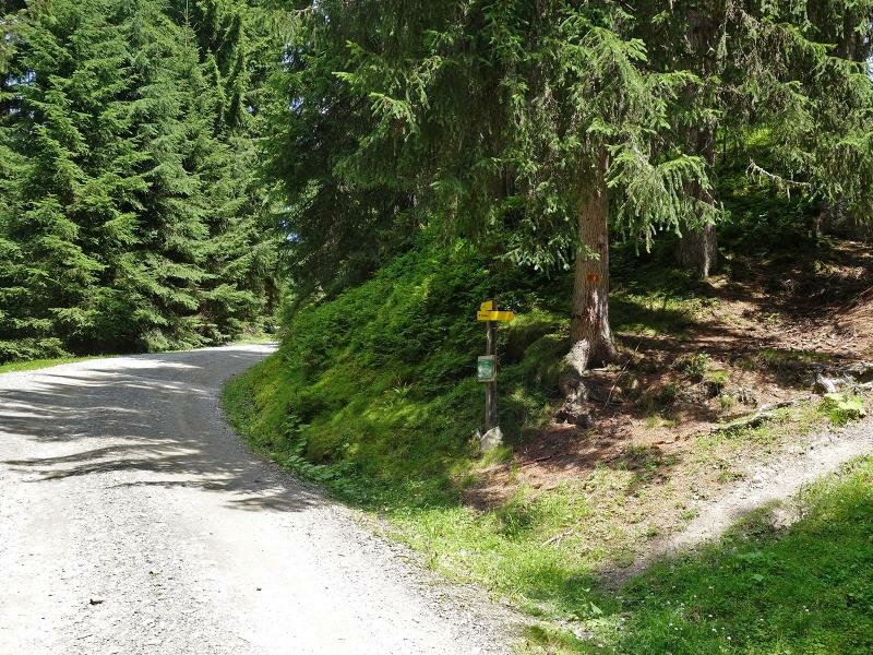
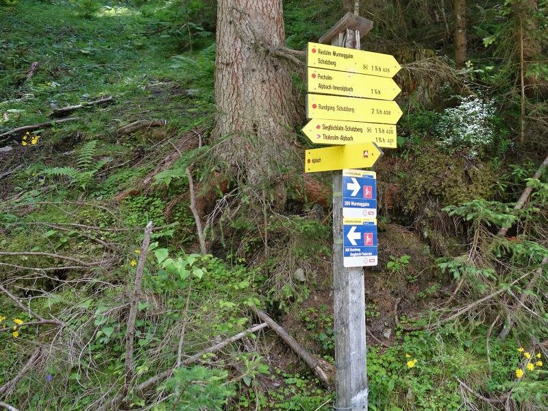
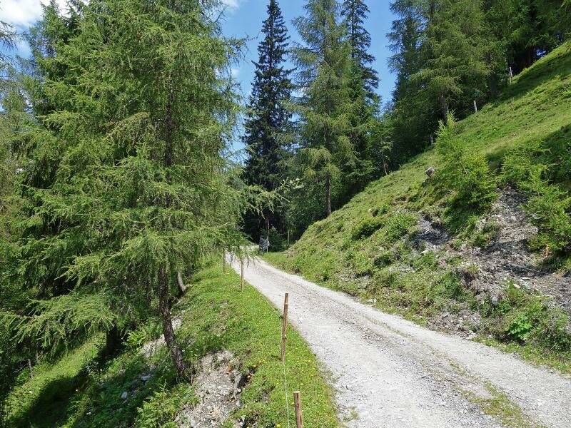
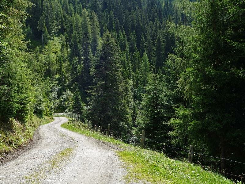
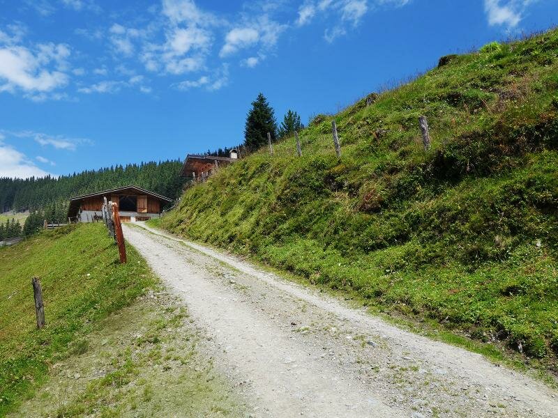
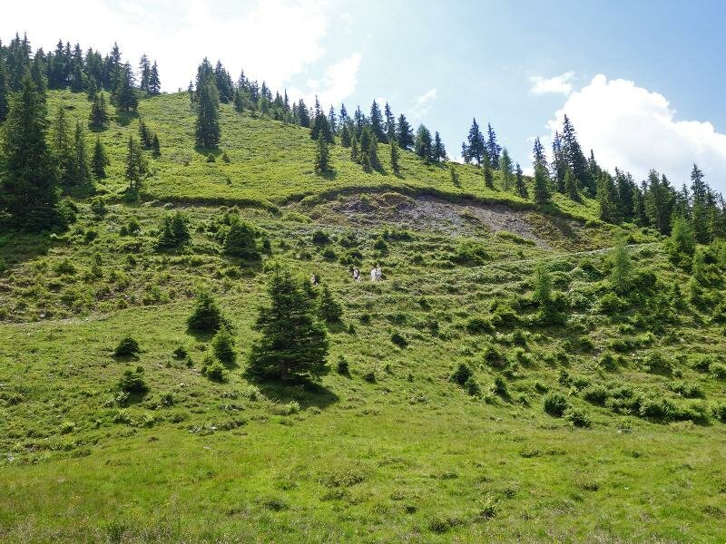
The best starting point for our hike from Alpbach to the Schatzberg is Rossmoos, a hamlet at the upper Alpbach High Route. Thus one saves about 1.5 km distance on the asphalt road. Following the signposts, you can either take the direct hiking trail or the more leisurely forest road up to the Schatzberg. For the second possibility you have to walk about 300 m further towards south, where the road branches off to the Schatzberg at the level of the Stolzenberg Farm. The meadow landscape soon gives way to the forested slope.
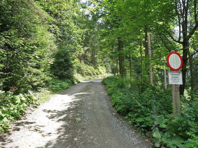
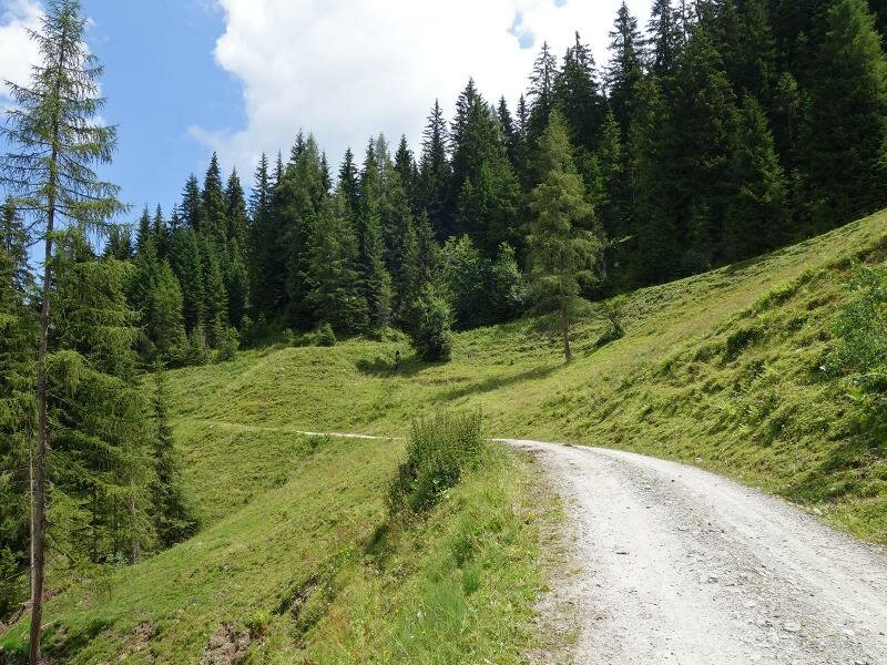
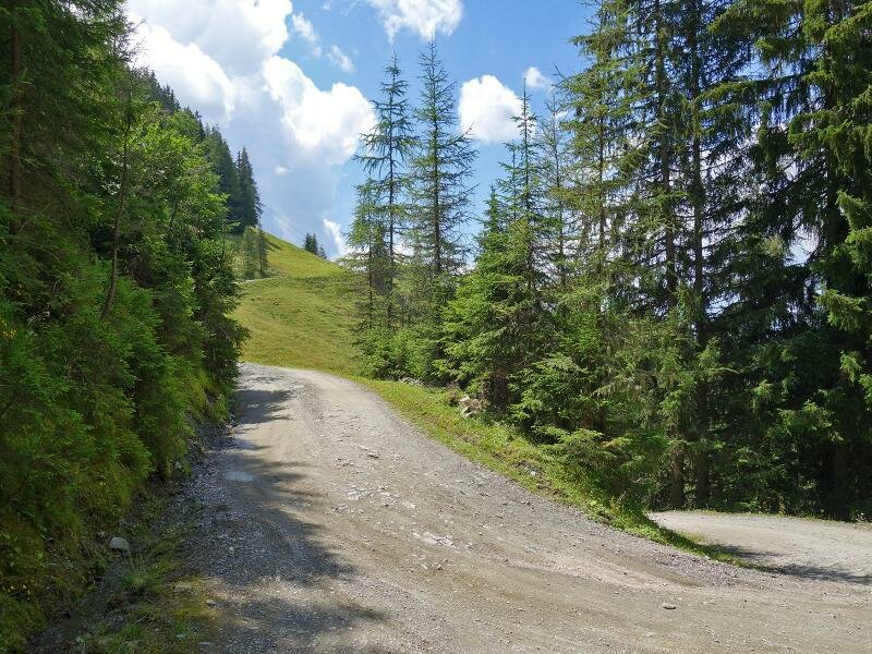
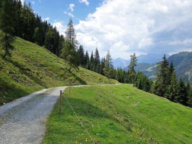
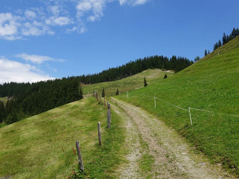
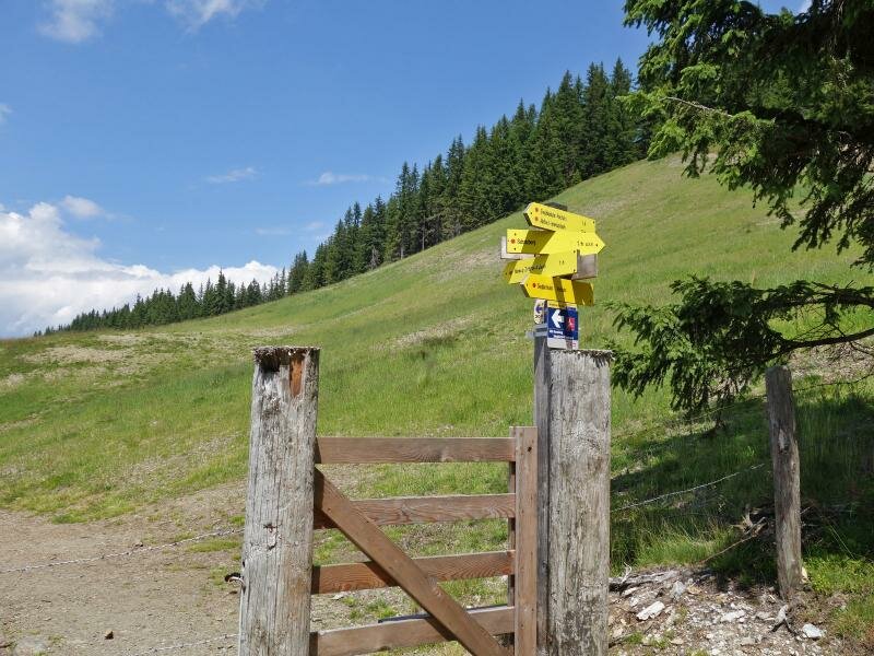
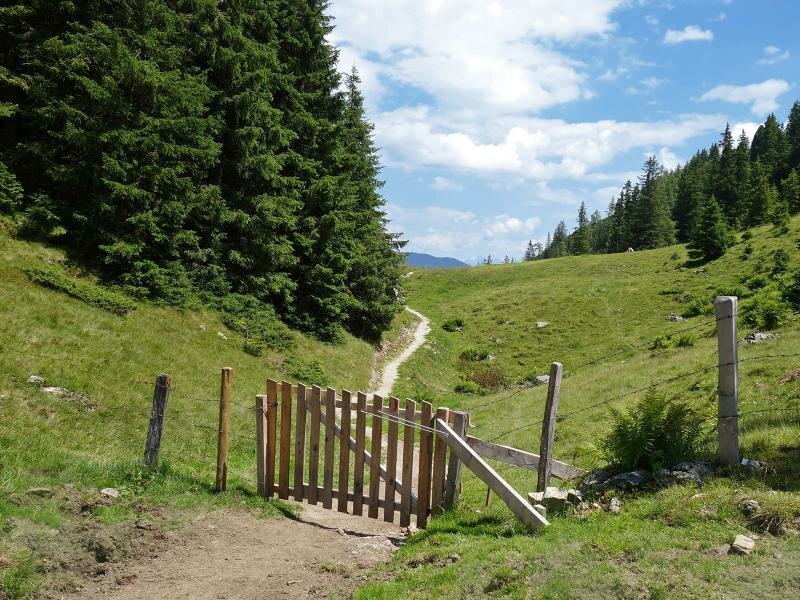
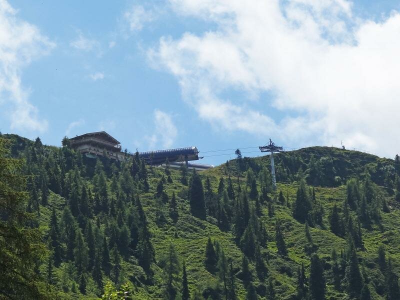
Further directions could hardly be easier: We follow the forest road (or alternatively the steeper hiking trail) always along the signpost "Schatzberg", past the meadows of the Pechalm Mountain Hut to the Siegbichl Mountain Hut and from there to the ridge, which represents the transition into the municipality of Wildschönau. Through a gate we reach the Thierbach-Schatzberg forest path on which the last 100 m in altitude up to the Schatzberg Mountain Hut must be mastered. At the top we are rewarded with a gorgeous view on the valley and the surrounding alpine world until the Kaiser Mountains. If you like, you can walk further up to the Gipfö Hit Mountain Hut (about 30 minutes and 150 m in altitude). Nearby the summit of Mt. Schatzberg is located.
Author: AT
-
- Starting point:
- Rossmoos near Alpbach
-
- Overall time:
- 03:35 h
-
- Total route length:
- 10,8 km
-
- Altitude:
- from 1.140 m to 1.768 m
-
- Altitude difference (uphill | downhill):
- +632 m | -632 m
-
- Route:
- Rossmoos - Siegbichl - Schatzbergalm Mountain Hut
-
- Signposts:
- Schatzberg
-
- Destination:
- Schatzbergalm
-
- Resting points:
- Schatzbergalm
-
- Recommended time of year:
- Jan Feb Mar Apr May Jun Jul Aug Sep Oct Nov Dec
-
- Download GPX track:
- Hike to the Schatzberg mountain
If you want to undertake this hike, we recommend checking the weather and trail conditions in advance and on site before starting this hike!