High altitude hike with beautiful panoramic view: It leads us through the federal forest high above the Gerlostal valley to the alpine meadows at the slopes beneath the Gerlostaljoch
Image gallery: Hike to the meadows of the Gerlostalalm hut
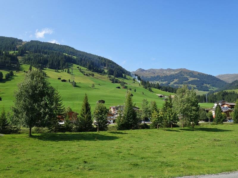
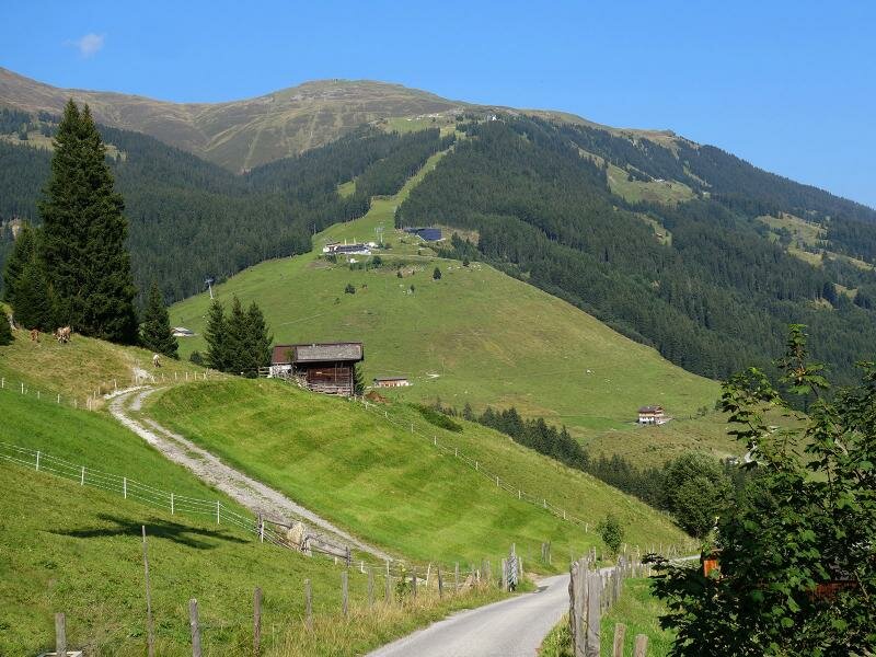
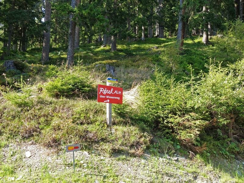
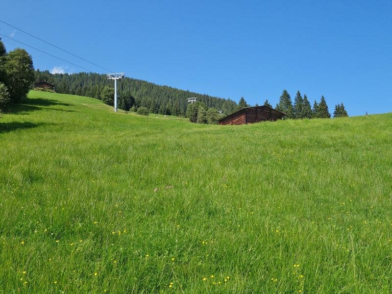
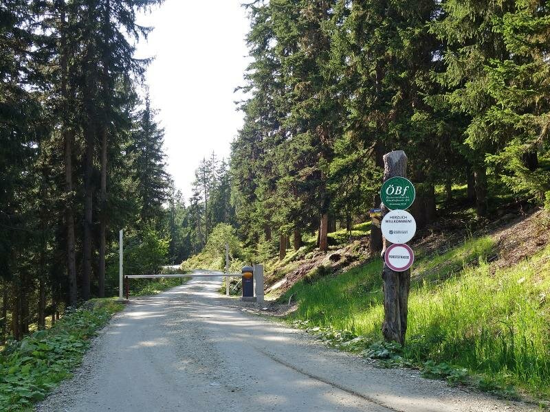
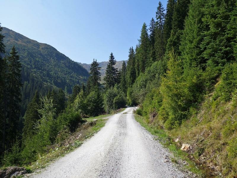
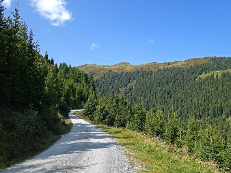
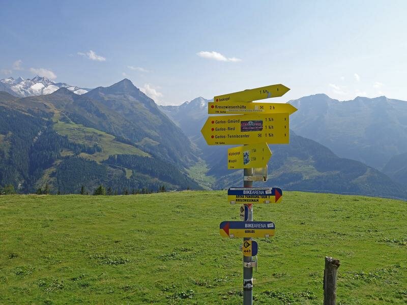
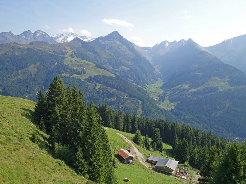
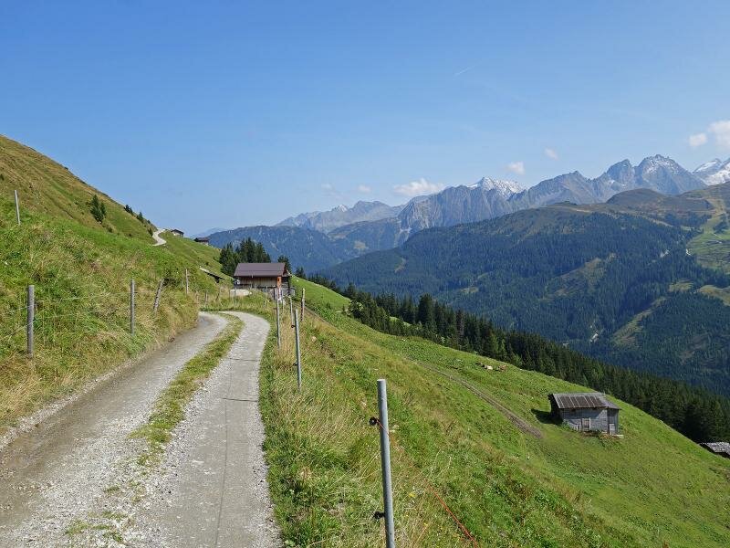
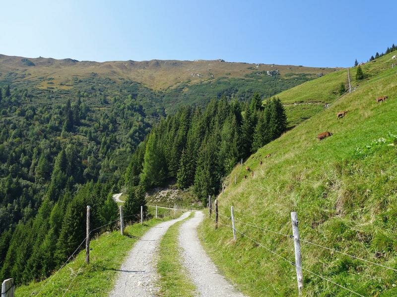
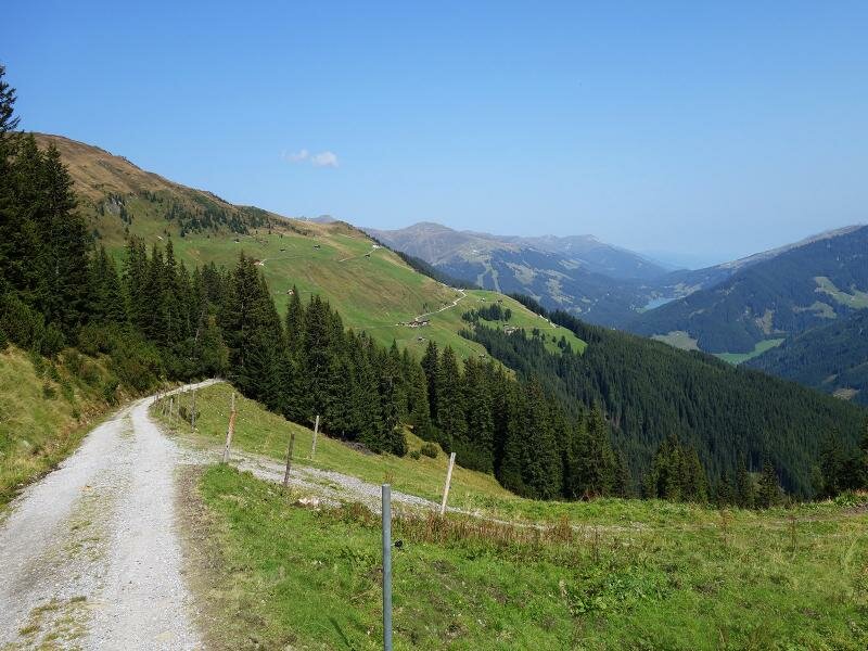
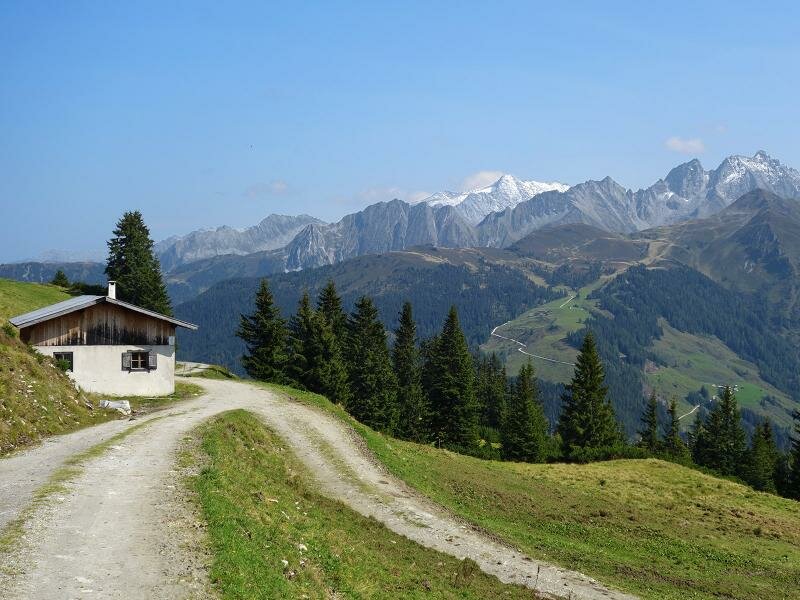
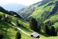
The first section of the path, the so-called "Gerloser Wiesenweg" (Gerlos meadow path), follows an asphalt road and proceeds from the valley bottom above Gerlos (near the Isskogelbahn mountain station) through green meadows to the edge of the forest. The hike follows wide gravel roads entering the valley of the Riederbach stream on path no. 1, and continues towards the Gerlostal Mountain Hut (Gerlostalalm, no. 9).
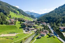
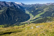
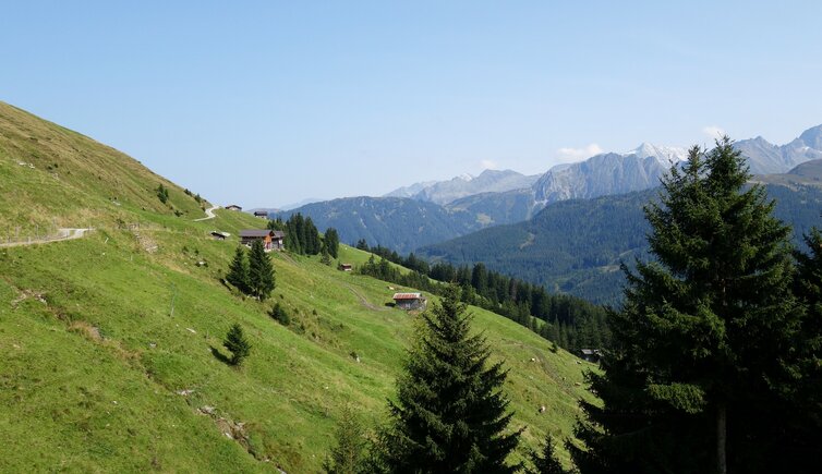
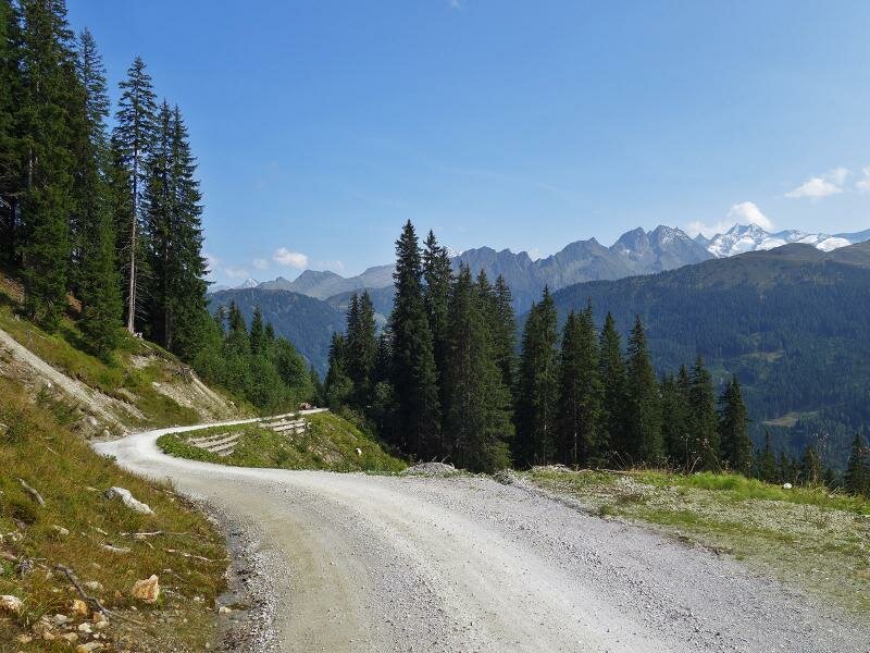
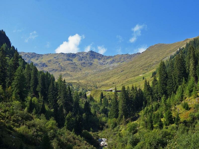
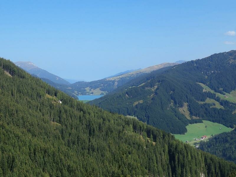
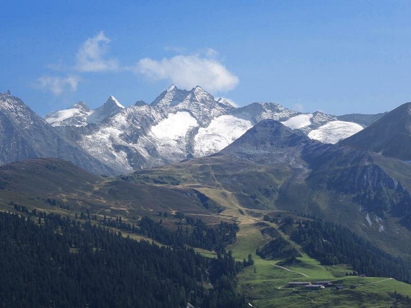
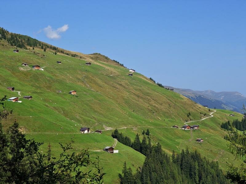
This place offers idyllic wooden huts as well as an unforgettable panoramic view on the Gerlostal valley and the opposite peaks, ranging from the glaciers of Mt. Wildgerlosspitze to Mt. Grundschartner and other summits of the Zillertal Alps. Also the Durlassboden Reservoir at the Gerlos Pass can be seen from here. We recommend to bring along your own snacks and water - the Rössl Mountain Hut is the only rest point along the first section of the hike.
Author: AT
-
- Starting point:
- Isskogel valley station (Gerlos)
-
- Overall time:
- 03:50 h
-
- Total route length:
- 15,4 km
-
- Altitude:
- from 1.253 m to 1.801 m
-
- Altitude difference (uphill | downhill):
- +681 m | -681 m
-
- Signposts:
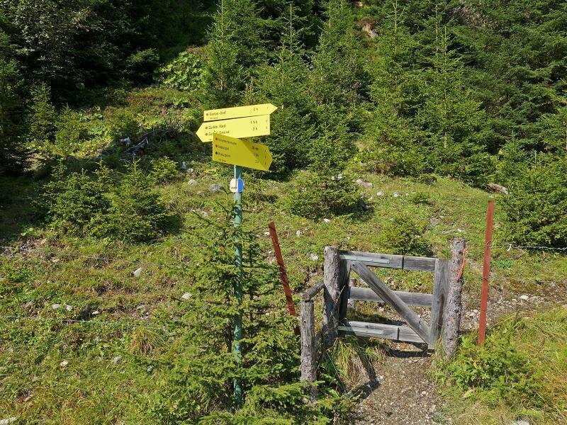
- Gerloser Wiesenweg, no. 1, 9, panorama tour 2000
-
- Destination:
- Gerlostal Mountain Hut
-
- Recommended time of year:
- Jan Feb Mar Apr May Jun Jul Aug Sep Oct Nov Dec
-
- Download GPX track:
- Hike to the meadows of the Gerlostalalm hut
If you want to undertake this hike, we recommend checking the weather and trail conditions in advance and on site before starting this hike!