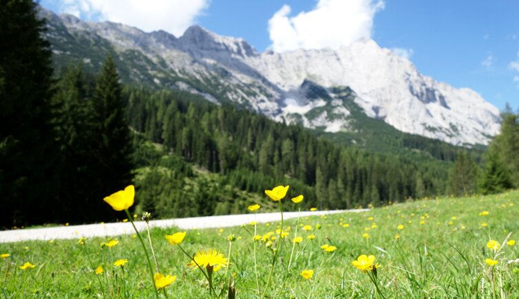
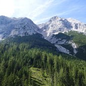
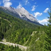
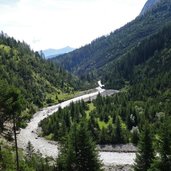
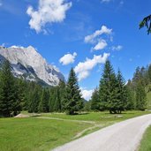
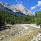
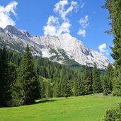
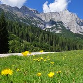
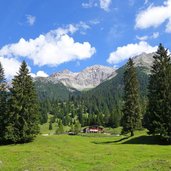
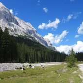
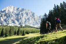
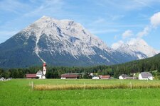
The Gaistal with its alpine pastures on the sunny side of the valley is located between the Mieming Range and the Wetterstein Mountains: The hike leads us to the Gaistalalm and Tillfussalm
Image gallery: Hike to the mountain huts in the Gaistal valley
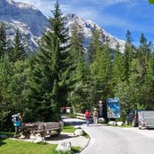
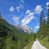
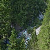
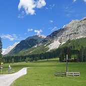
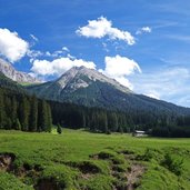
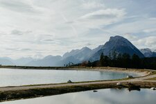
The Gaistal valley stretches from Leutasch to the Ehrwald Mountain Huts. The Leutascher Ache river flows through this valley, which is flanked by the Mieming Range in the south and the Wetterstein Mountains with the almost 3,000 m high Zugspitze in the north. A road proceeds from Leutasch to the Salzbach parking space (chargeable), the starting point of our hike.
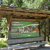
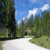
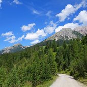
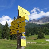
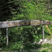
The forest path no. 7, or Nordalpenweg (Northern Alps Path) follows the course of the Leutascher Ache river slightly uphill towards west. After a walk of 90 minutes we reach the meadows of the Gaistal Mountain Hut (Gaistalalm) and continue for another 15 minutes to the Tillfuss Mountain Hut (Tillfussalm). Both mountain huts invite to stop and enjoy the local delicacies. Instead of returning on the same trail, we recommend to take the Ganghoferweg, a path dedicated to the Bavarian poet Ludwig Ganghofer. It runs parallel to the Nordalpenweg, slightly higher, and takes you through the forest back to the starting point.
Author: AT
-
- Starting point:
- Gaistal valley near Leutasch, Salzbach parking space (chargeable)
-
- Overall time:
- 03:00 h
-
- Total route length:
- 10,4 km
-
- Altitude:
- from 1.227 m to 1.395 m
-
- Altitude difference:
- +233 m | -233 m
-
- Signposts:
- no. 7 (Nordalpenweg), Ganghoferweg
-
- Destination:
- Gaistal Mountain Hut, Tillfuss Mountain Hut
-
- Resting points:
- Gaistal Mountain Hut, Tillfuss Mountain Hut
-
- Recommended time of year:
- Jan Feb Mar Apr May Jun Jul Aug Sep Oct Nov Dec
-
- Download GPX track:
- Hike to the mountain huts in the Gaistal valley
If you want to do this hike, we suggest you to check the weather and trail conditions in advance and on site before setting out.
