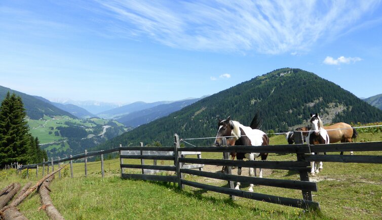
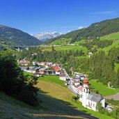
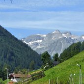
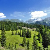
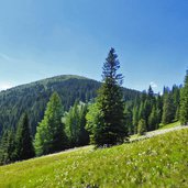
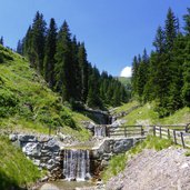
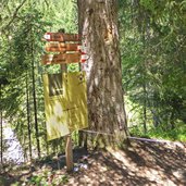
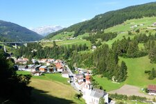
The walking tour from Gries am Brenner to the Sattelberg Mountain Hut and the village of Brennero, leads us across the border to Italy
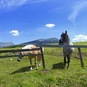
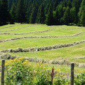
Image gallery: Hike to the Sattelbergalm mountain hut
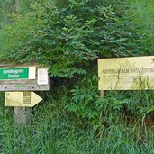
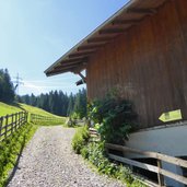
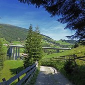
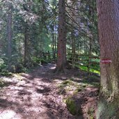
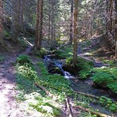
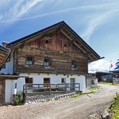
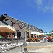
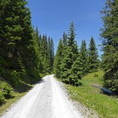
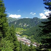
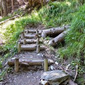
In Gries am Brenner we follow the road into the Obernberg Valley, and immediately after the motorway bridge the hiking path to the Sattelberg Mountain Hut branches to the left (marker "Wassersteig"). First it follows the forest road and proceeds then through the wood. After about 90 minutes we reach the Sattelberg Mountain Hut 1,637 m a.s.l. (Sattelbergalm, rest point).
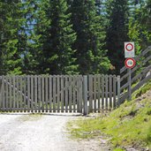
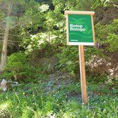
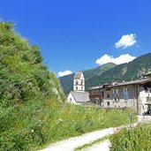
Our route follows now a forest path, without any considerable ascents to the Sattelmöser Biotope at the edge of the wood, a biotope and retreat area for birds, amphibians and other animals. Nearly unnoticed we cross the border to South Tyrol, then we cross the Isarco river which rises in this area. Now we follow the path no. 1 towards Brennero (Brenner). It proceeds downhill to the village, partly with steps. At the train station we take the urban train, the so-called S-Bahn, which brings us back to Gries am Brenner withing a few minutes.
Author: AT
-
- Starting point:
- Gries am Brenner
-
- Overall time:
- 03:05 h
-
- Total route length:
- 8,2 km
-
- Altitude:
- from 1.183 m to 1.725 m
-
- Altitude difference:
- +571 m | -457 m
-
- Route:
- Gries - Wassersteig Path - Sattelberg Mountain Hut - Sattelmöser Biotope - Brennero
-
- Destination:
- Brenner
-
- Resting points:
- Sattelbergalm
-
- Recommended time of year:
- Jan Feb Mar Apr May Jun Jul Aug Sep Oct Nov Dec
-
- Download GPX track:
- Hike to the Sattelbergalm mountain hut
If you want to do this hike, we suggest you to check the weather and trail conditions in advance and on site before setting out.
