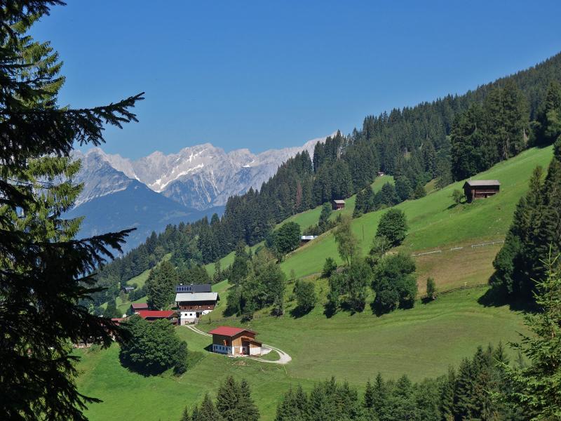
We hike from Innerst near Weerberg through the forest to the alpine meadows, which stretch from the Weidener Mountain Hut to Lake Nafingsee and to the Geiseljoch
Image gallery: Hike from Weerberg to the Nafingalm mountain hut
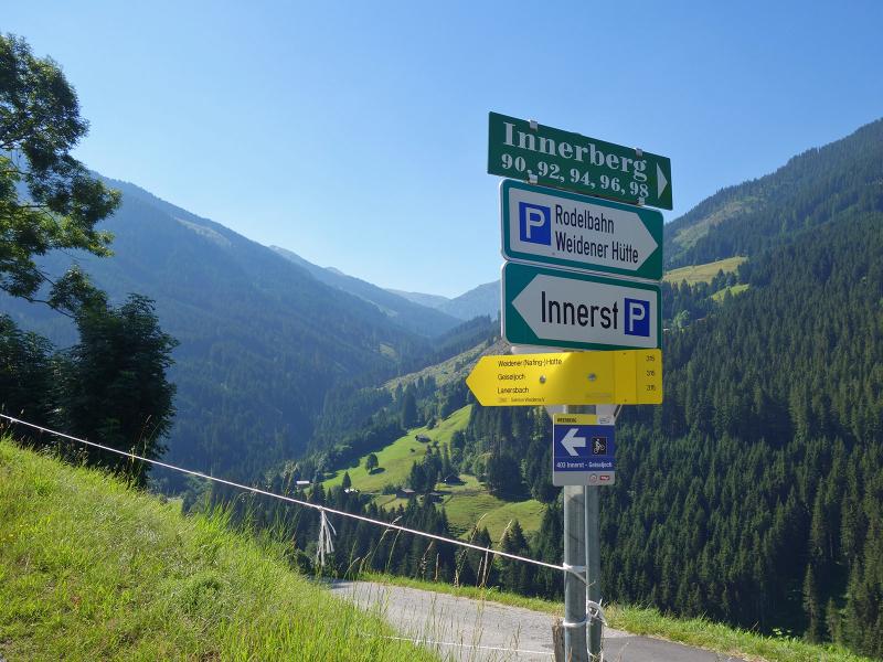
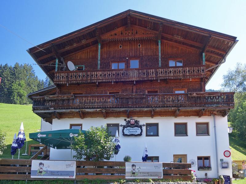
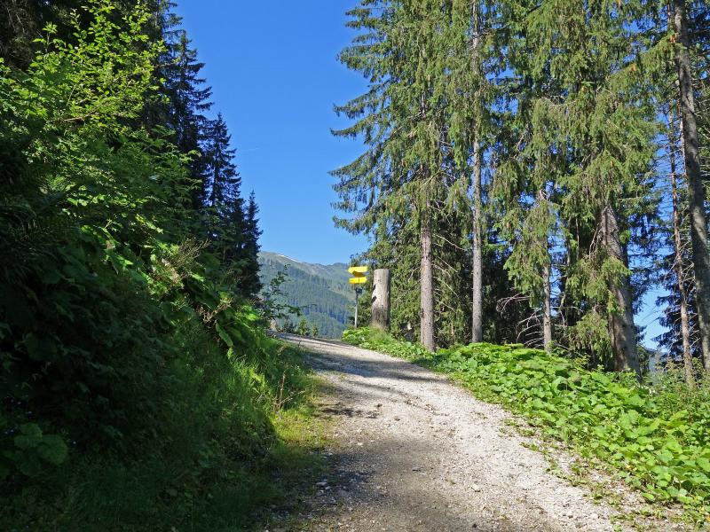
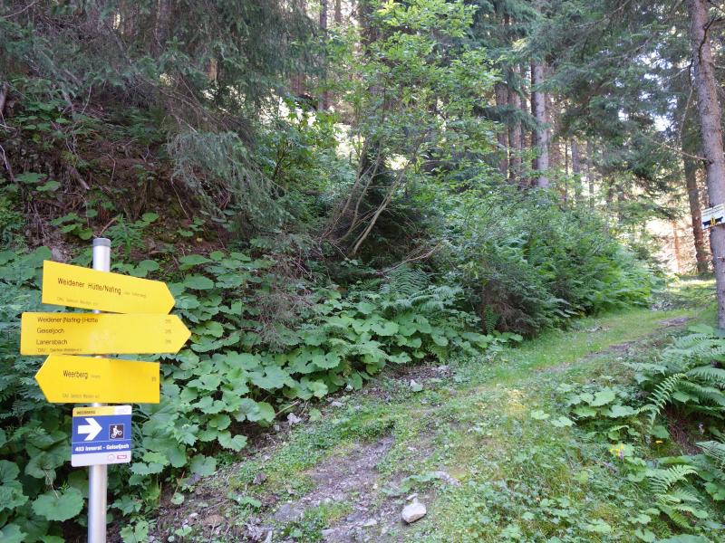
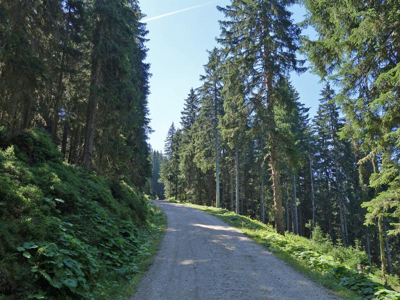
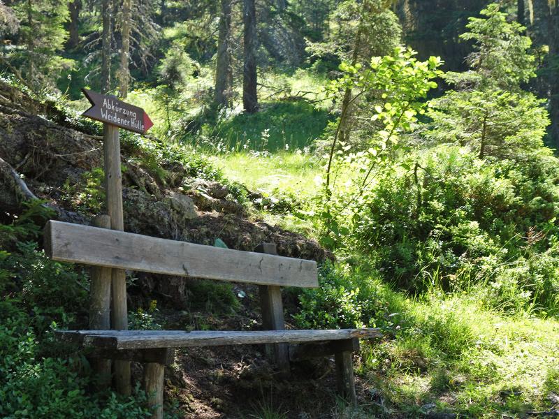
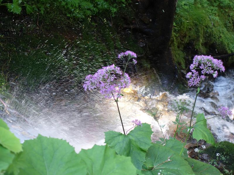
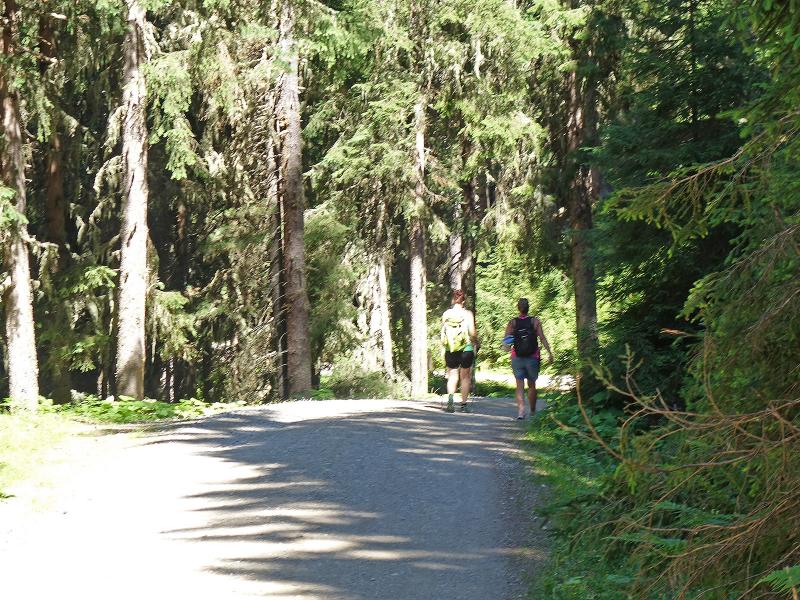
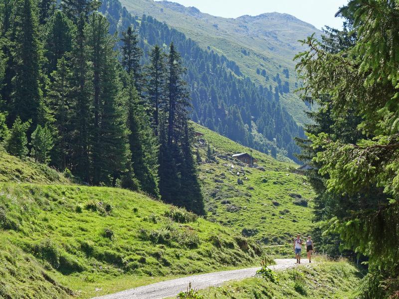
The hikers' car park Innerst at the southern end of Weerberg is the starting point of our hike to the Weidener Mountain Hut (Weidener Hütte). Immediately behind the Innerst tavern the signpost leads us through the forest. After passing a wooden bridge, which crosses the Nurpensbach brook, we reach a forest road. This is path no. 315 and it will lead us to our destination.
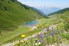
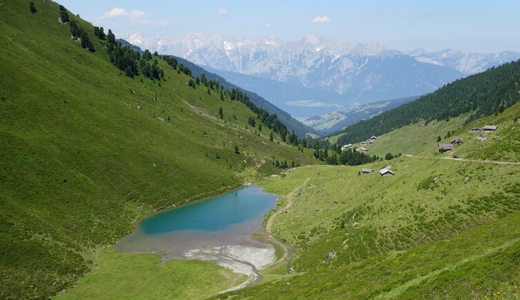
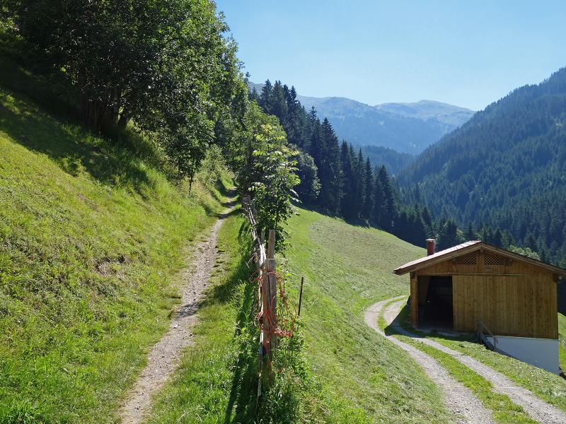
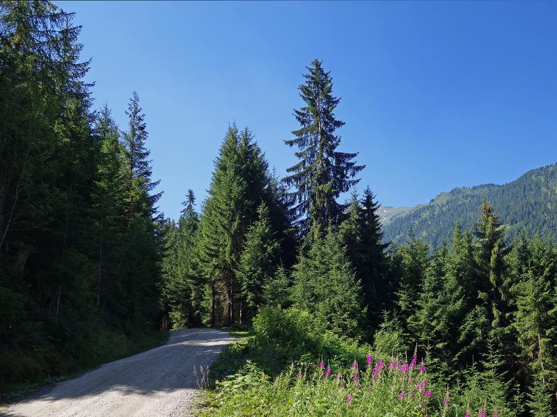
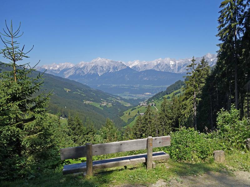
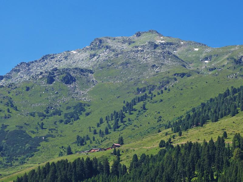
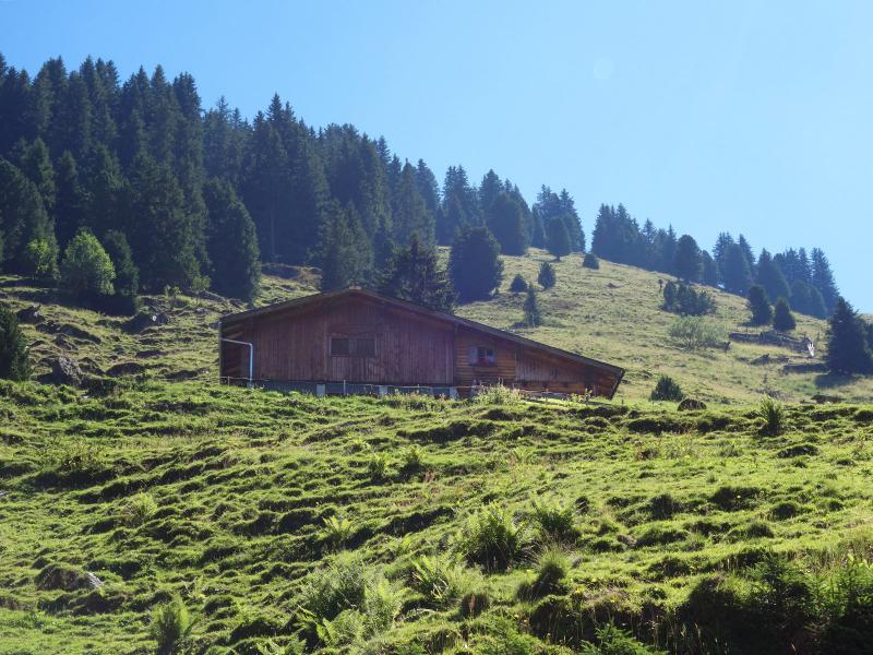
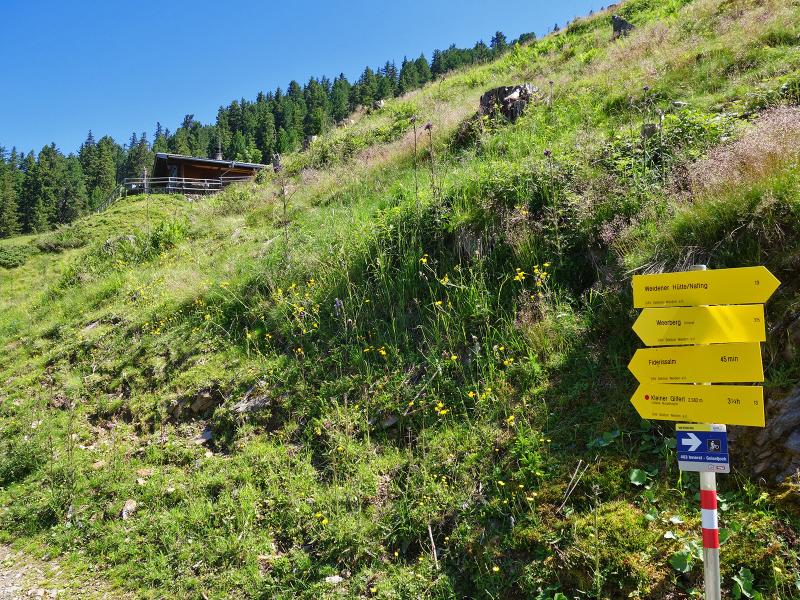
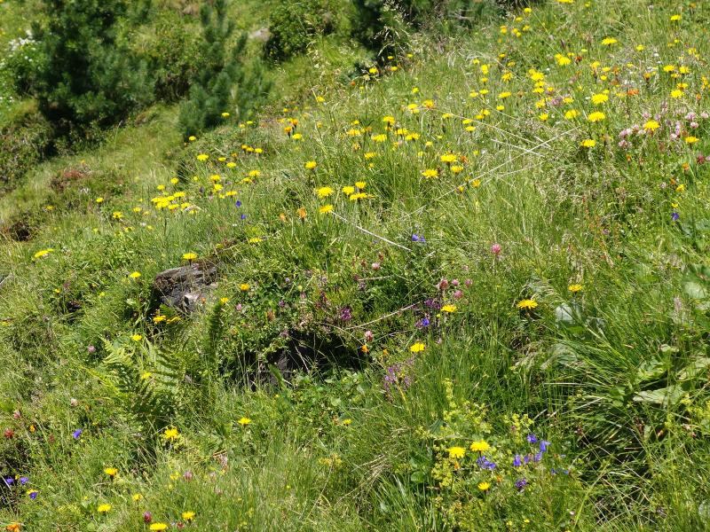
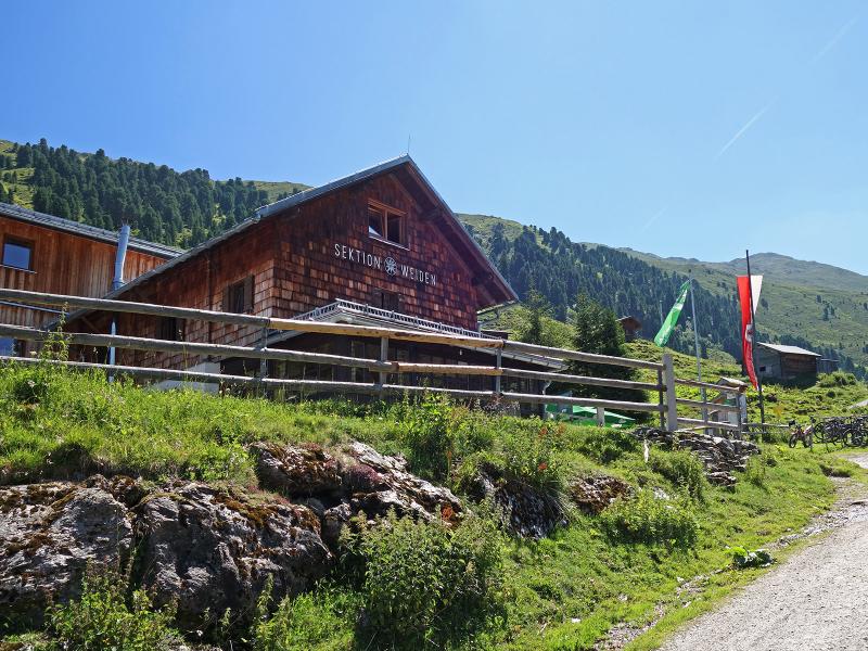
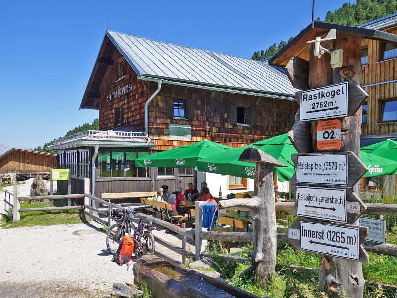
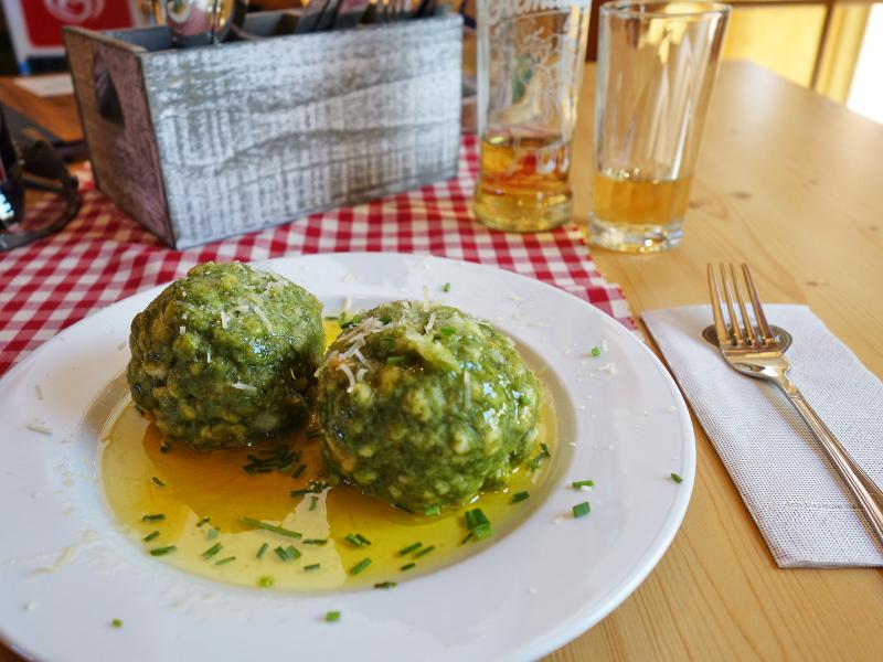
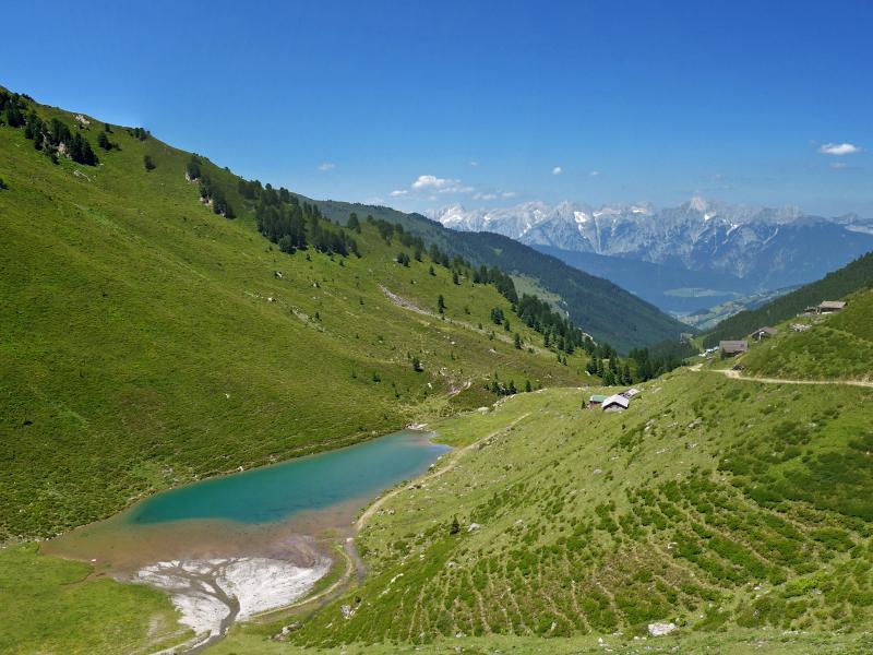
Almost the complete trail is situated in the woods. Only at the last section, at approx. 1,750 m, we leave the forest behind us and reach some alpine meadows and the DAV alpine hut (section Weiden), a perfect place for a lunch break. About 150 metres higher there are the Nafingalm huts and the turquoise blue Lake Nafing. The view to the north stretches to the Karwendel. It is on the same path that we reach our starting point again.
Author: AT
-
- Starting point:
- parking Innerst near Weerberg
-
- Overall time:
- 04:25 h
-
- Total route length:
- 12,9 km
-
- Altitude:
- from 1.268 m to 1.982 m
-
- Altitude difference (uphill | downhill):
- +722 m | -722 m
-
- Signposts:
- no. 315, Weidener Hütte, Geiseljoch
-
- Destination:
- Nafingalm
-
- Resting points:
- Weidener Hütte mountain hut
-
- Recommended time of year:
- Jan Feb Mar Apr May Jun Jul Aug Sep Oct Nov Dec
-
- Download GPX track:
- Hike from Weerberg to the Nafingalm mountain hut
If you want to undertake this hike, we recommend checking the weather and trail conditions in advance and on site before starting this hike!