Getting so close to the glaciers in the Oetztal Nature Park without having to undertake a difficult or strenuous hiking tour becomes possible here
Image gallery: Hike to the Rotmoosferner
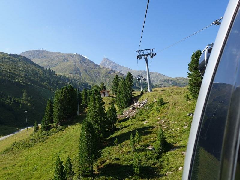
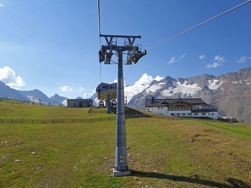
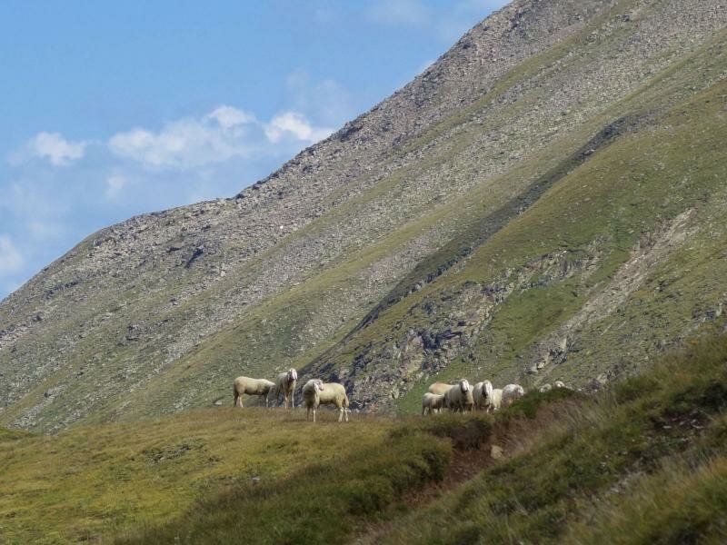
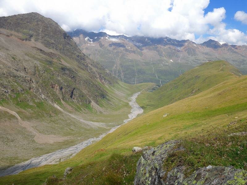
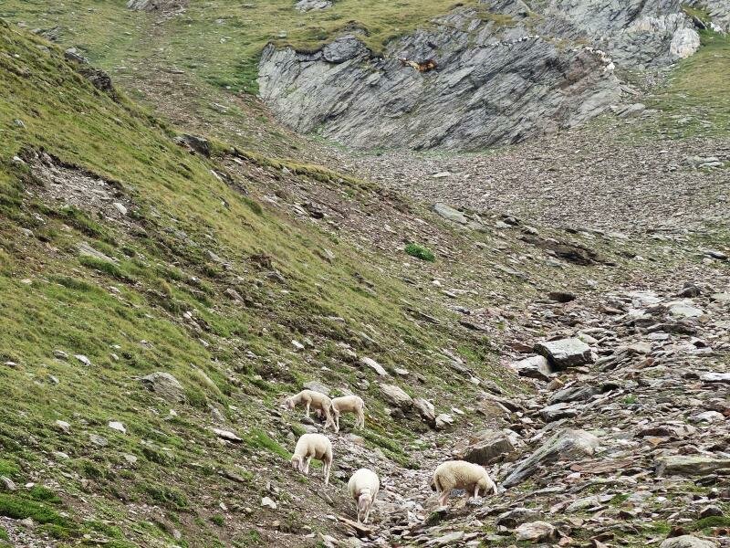
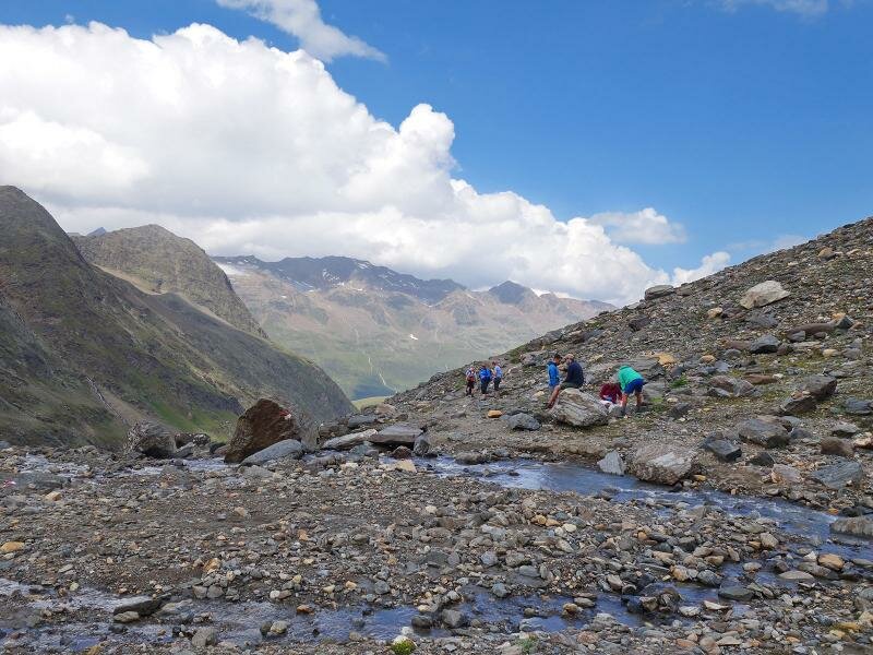
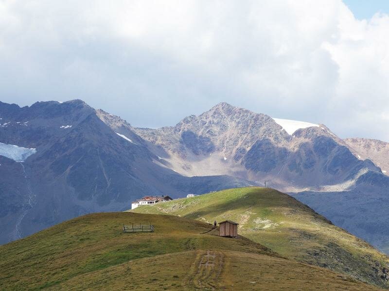
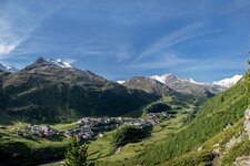
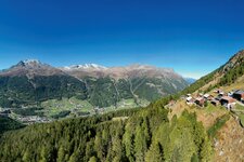
In the Gurgeltal, a side valley of the back Ötztal valley, Obergurgl is located, the last village before the head of the valley. Here the Hohe Mut Cable Car starts and takes us up to 2,600 m a.s.l. The mountain station is located directly at the Hohe Mut mountain restaurant. We take the path no. 30 first slightly downhill and then uphill to the Bärenhoppe, a mountain ridge covered with high alpine meadows, which separates the Rotmoostal and Gaisbergtal valleys.
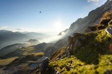
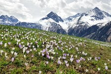
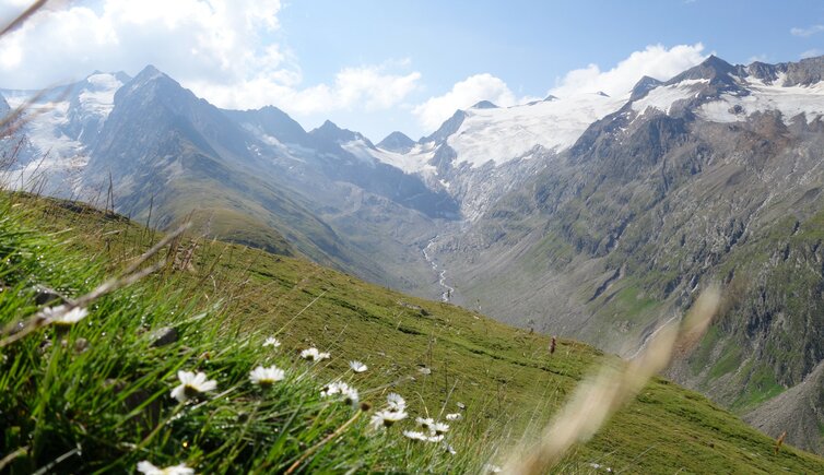
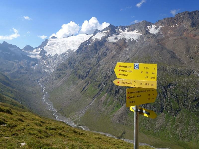
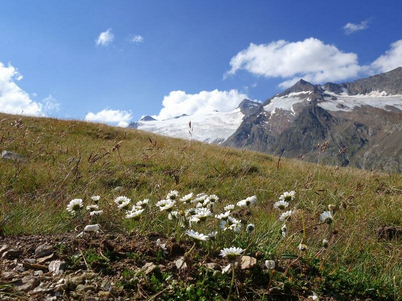
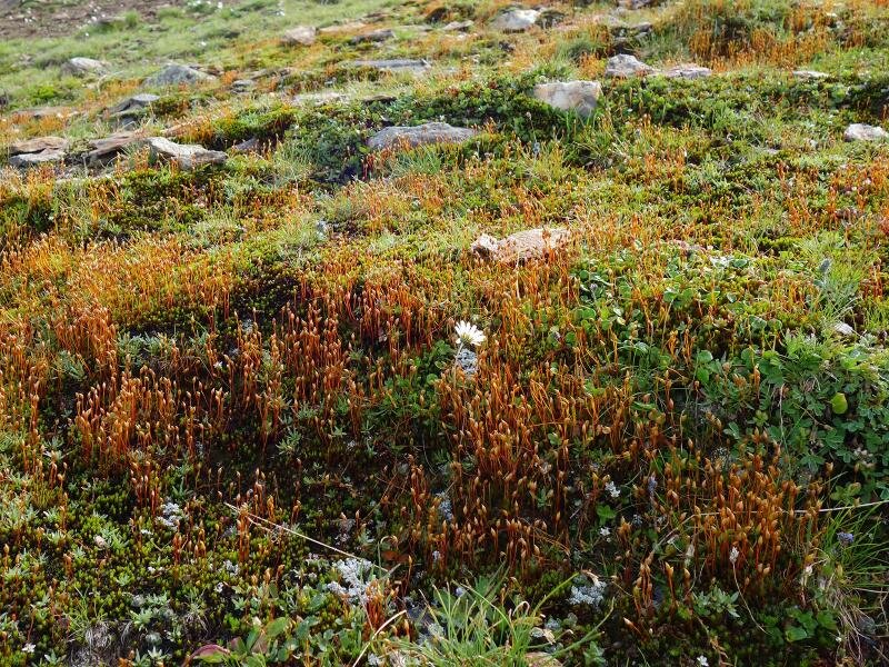
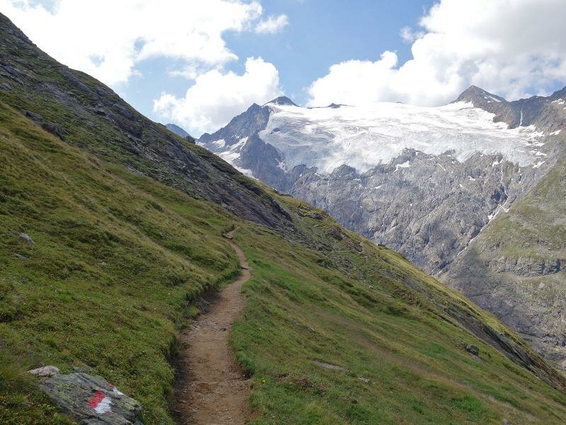
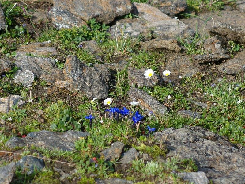
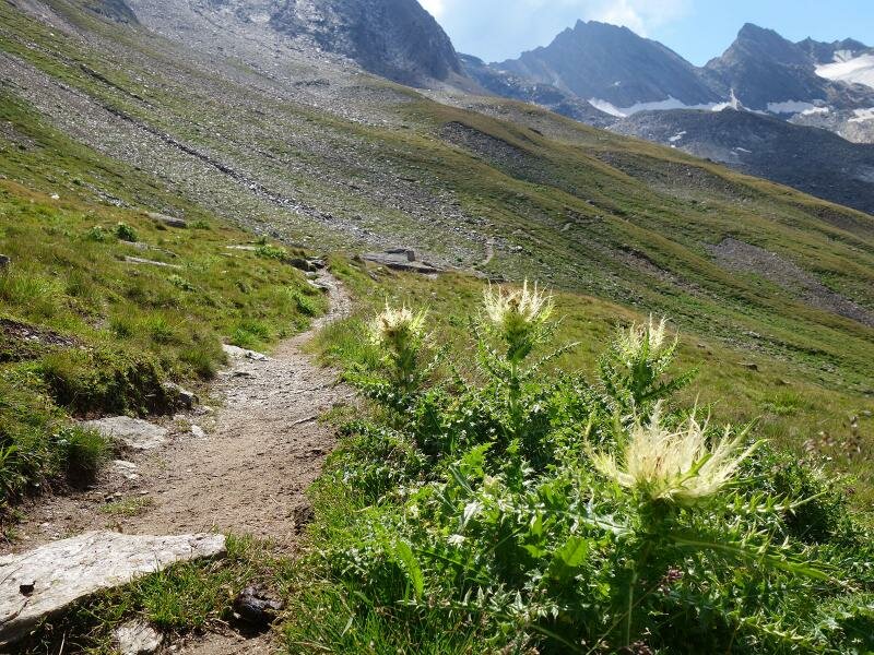
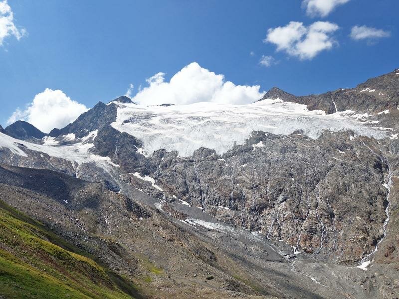
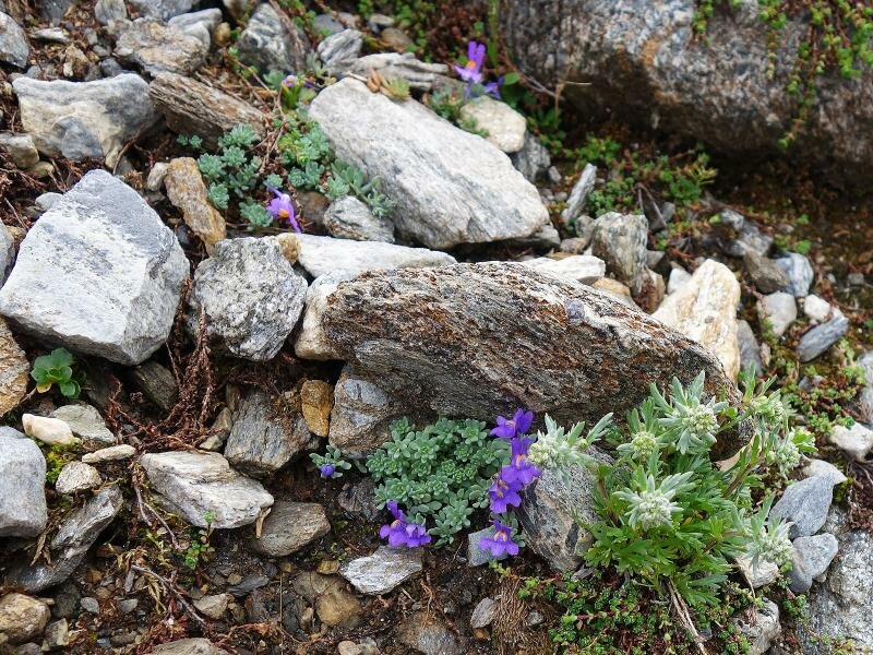
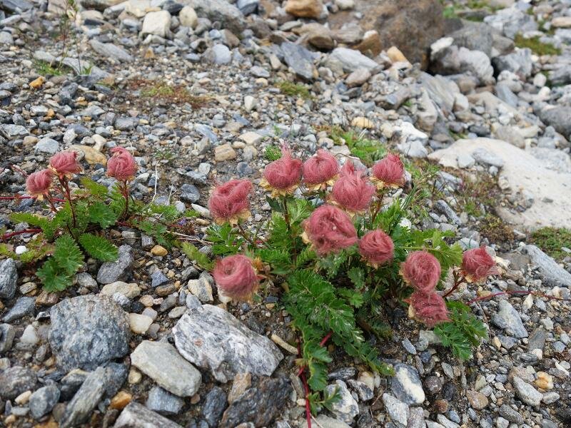
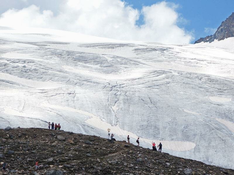
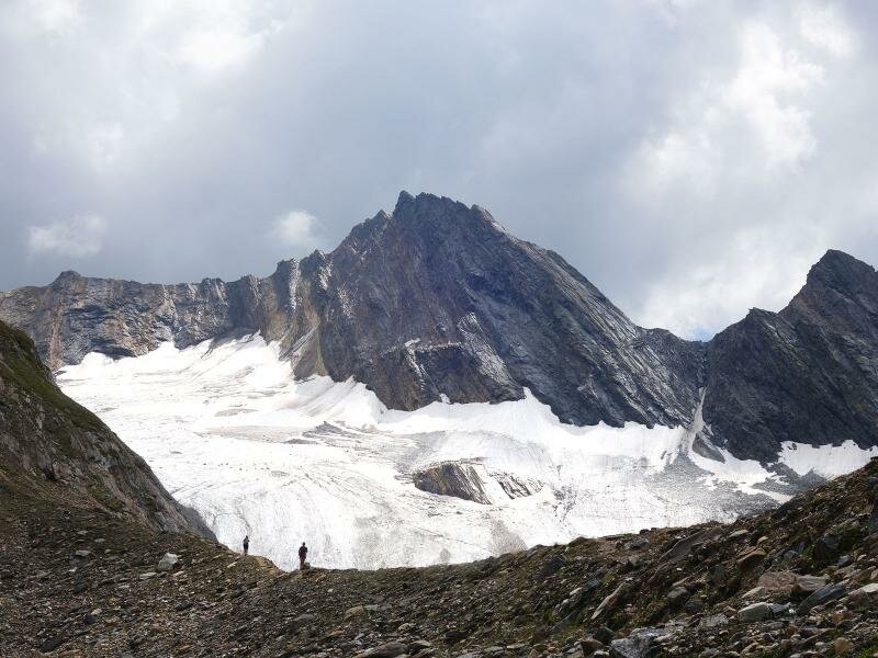
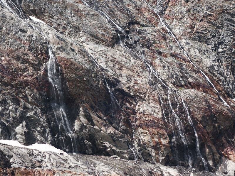
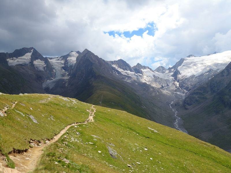
The path continues at the northern slope of the Rotmoostal further into the valley. In front of us the three thousand metre peaks of the Gurgl Ridge with their glaciated mountainsides tower up: Granatenkogel, Hochfirst, Liebenerspitze, Seelenkogel are just some of the peaks we can see on this tour. The closer we get to the glaciers, the more the meadow landscape is replaced by a rocky desert. However, between the boulders and scree, delicate alpine flowers still bloom in bright colours. The trail leads to a ridge that reaches more than 2,700 m a.s.l.
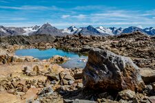
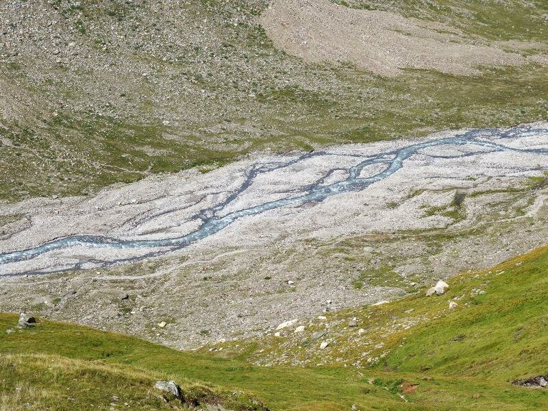
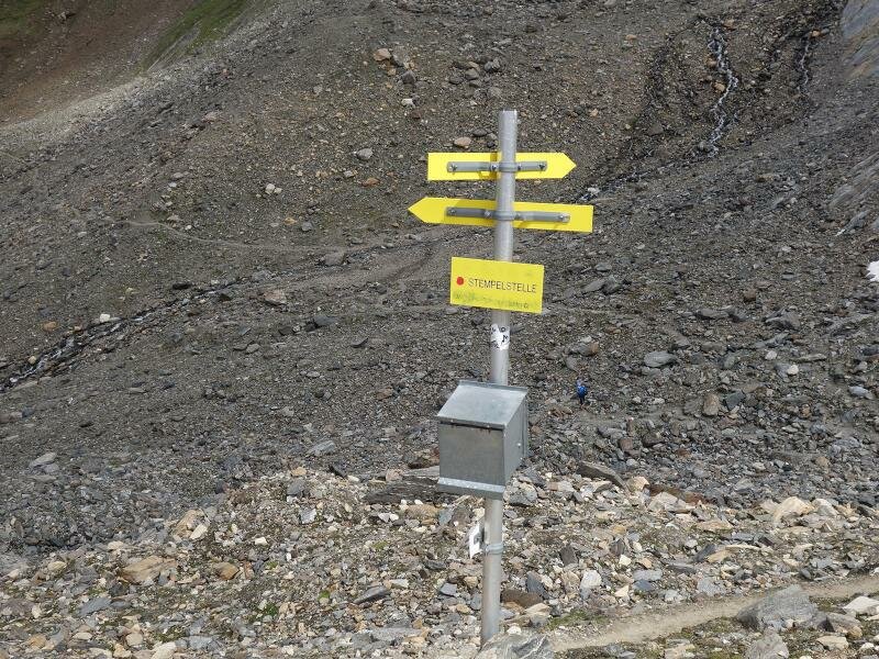
Here, at the Rotmoosferner stamping station, a magnificent view opens up from the Rotmoosferner to the Wasserfallferner and countless smaller glaciers. After enjoying the view on this breathtaking natural setting, we take the same route for our way back. Ambitious and experienced alpinists can walk across the glacier to the Plan Mountain Hut (Zwickauer Hütte) which is already on South Tyrolean terrain, above the village of Plan (Pfelders). But such a tour requires much more time and better equipment than it is needed for our easy to moderate hike.
Author: AT
-
- Starting point:
- Hohe Mut mountain station
-
- Overall time:
- 02:50 h
-
- Total route length:
- 8,0 km
-
- Altitude:
- from 2.551 m to 2.713 m
-
- Altitude difference (uphill | downhill):
- +244 m | -244 m
-
- Signposts:
- no. 30, Rotmoosferner
-
- Destination:
- Rotmoosferner, stamping station
-
- Recommended time of year:
- Jan Feb Mar Apr May Jun Jul Aug Sep Oct Nov Dec
-
- Download GPX track:
- Hike to the Rotmoosferner
If you want to undertake this hike, we recommend checking the weather and trail conditions in advance and on site before starting this hike!