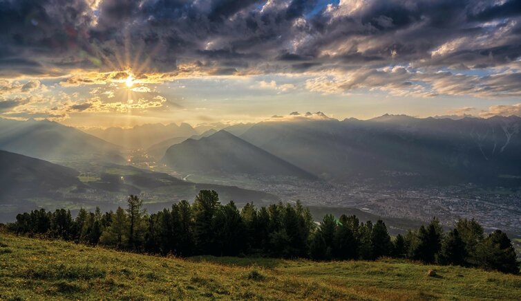
Six days and at an altitude of about 2,000 m - that is the Inntaler Höhenweg, a multi-day hike high above the Tyrolean Inntal valley
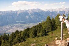
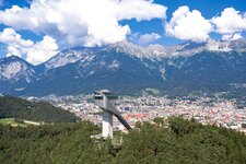
Patscherkofel to Kellerjoch or Innsbruck to Schwaz: The "Inntaler", as the long-distance hiking trail is locally called, runs between 1,800 and 2,800 m a.s.l., right through the majestic beauty of the Tux Alps. The adventure starts by taking the Patscherkofel Cable Car in the Innsbruck district of Igls, which brings you to the Stone Pine Path high above the valley basin: This trail runs through the largest stand of Swiss stone pines in the Alps. Voldertal, Navistal, Wattental, Nafingtal, Sidantal and Finsinggrund are along the route, all of them beautiful spots in the midst of the mountains.
The mountain huts along the Inntal High Route or Inntaler Höhenweg offer typical regional dishes, including the Glungezer Hütte, the Lizumer Hütte and the Rastkogelhütte. From this mountain hut you descend to Schwaz, the way back to Igls can be comfortably done by public transport. In addition to unique experiences, the enjoyable tour also offers numerous panoramic views.
Starting point: Igls
Trail length: 80 km
Walking time: 6 day stages
Altitude difference: approx. 4,000 m