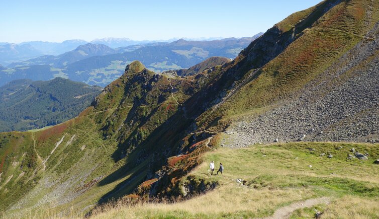
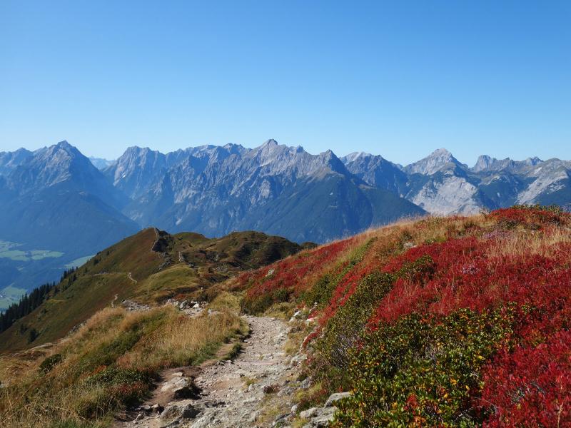
The mountain hike via the Proxen Alp to the Mt. Kellerjoch and the eponymous mountain hut offers a unique panoramic view on the alpine world of Tyrol
Image gallery: Circular hike on Mt. Kellerjoch
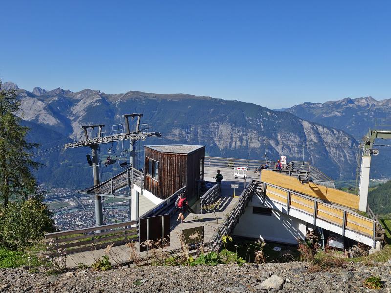
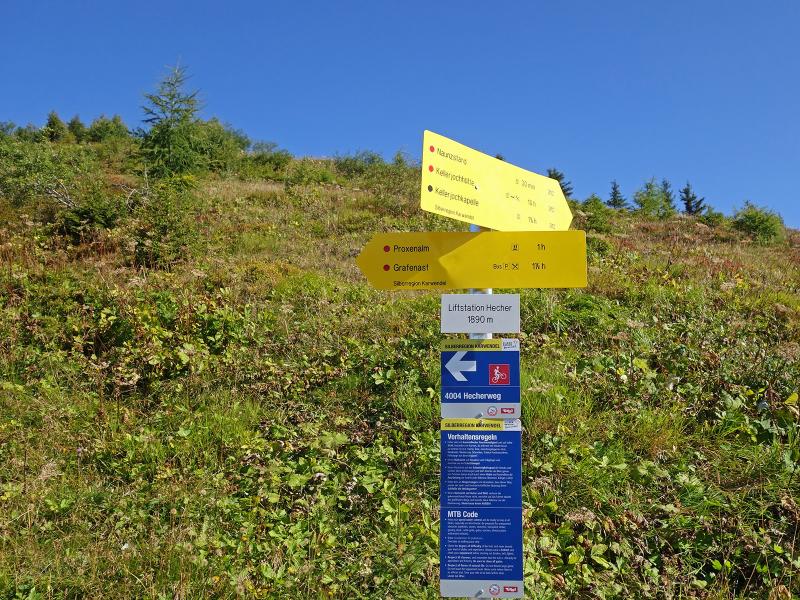
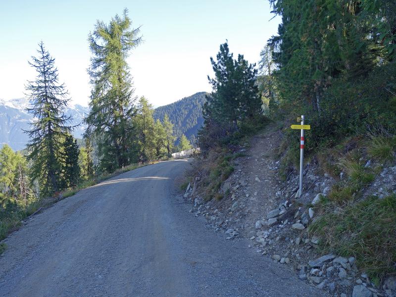
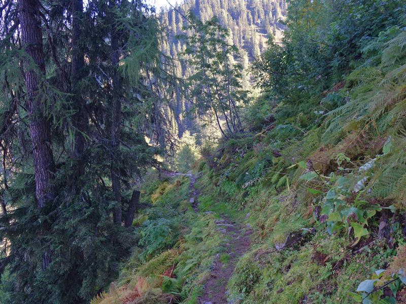
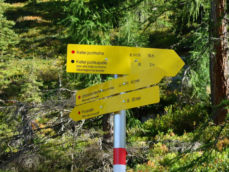
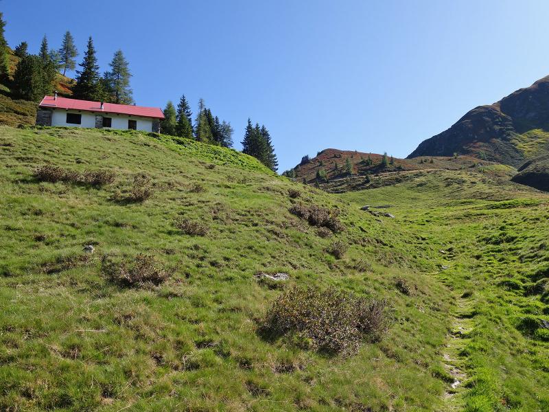
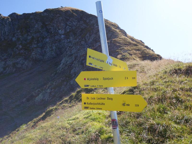
To reach the starting point of this mountain tour to the Kellerjoch ridge, we take the Pillbergstrasse road from Pill in the Inn Valley to its end at the valley station of the Kellerjoch Cable Car (near Hotel Grafenast) at about 1,300 m a.s.l. The chair lift takes us up to approx. 1,860 m a.s.l. Here, at the Hecher mountain tavern we start our hike and follow the signpost "Proxenalm". After some hundred metres, a path branches off to the right, which leads us through forest and heath landscape to the Alte Kellerjochhütte and the Proxenalm Hochleger huts.
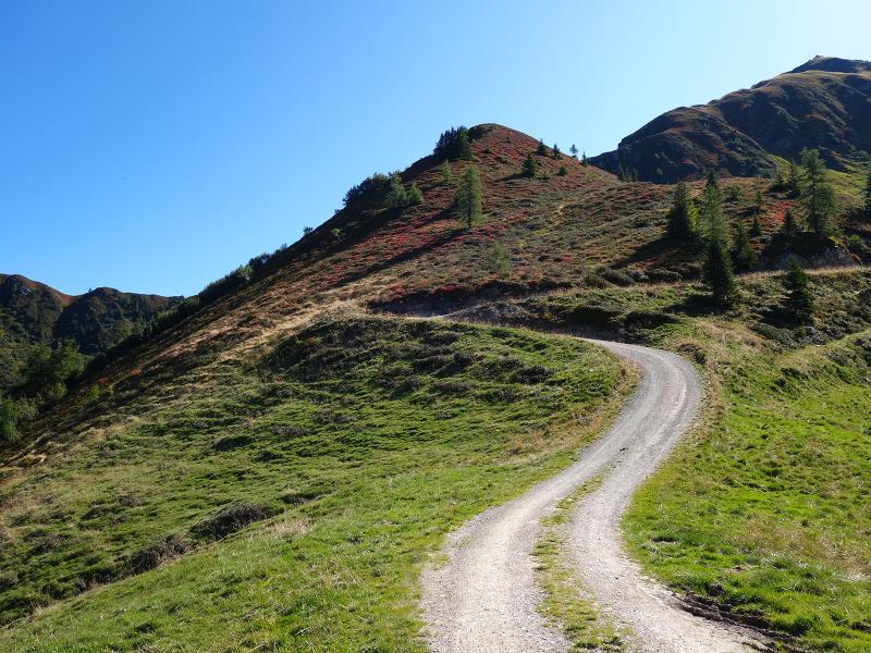
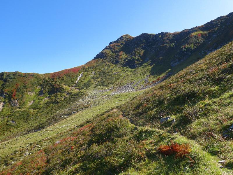
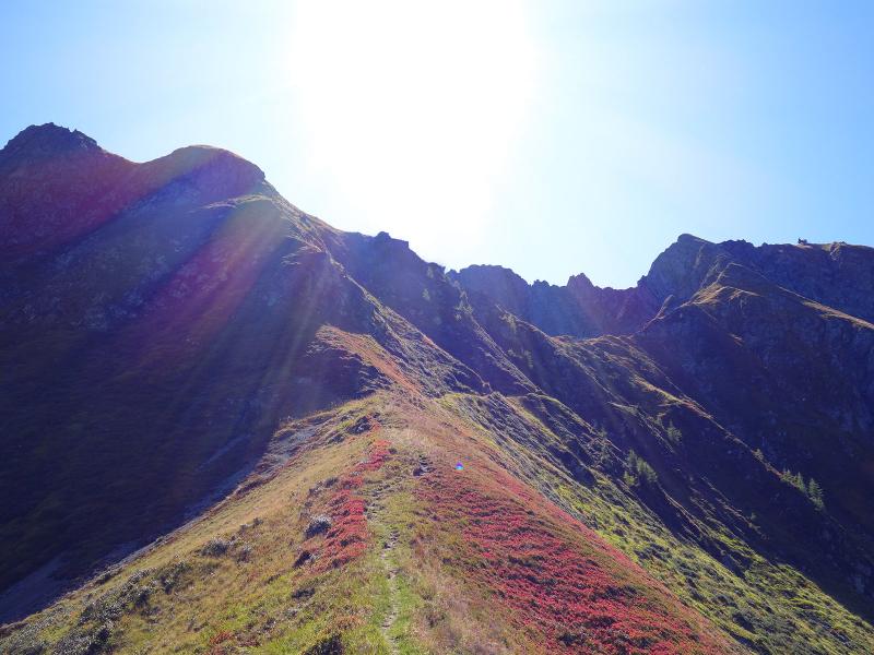
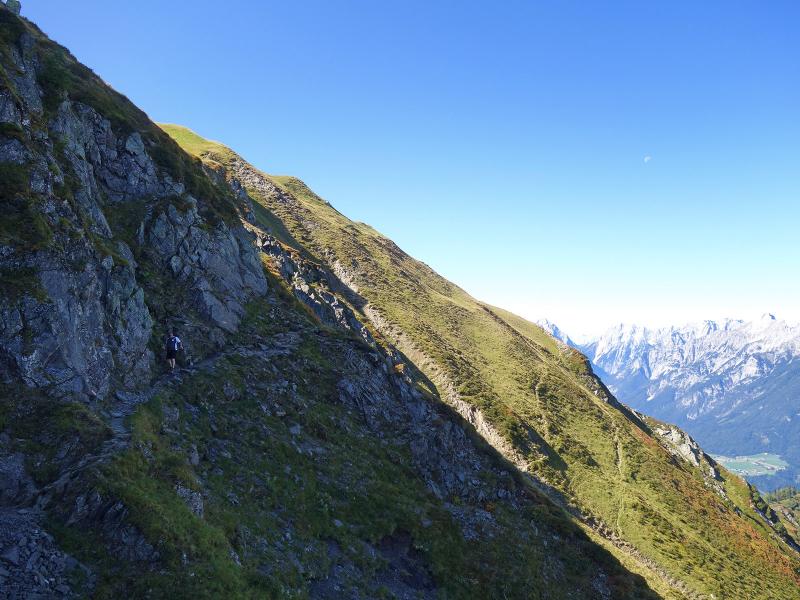
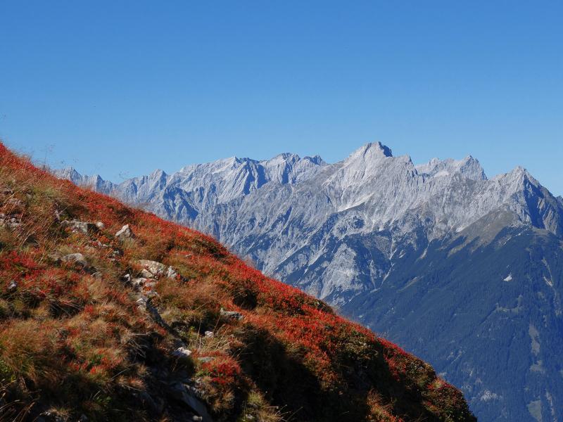
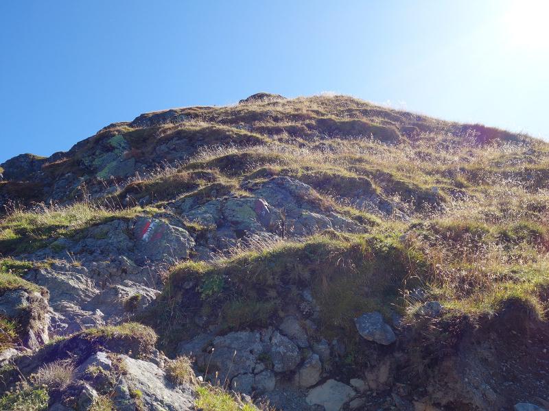
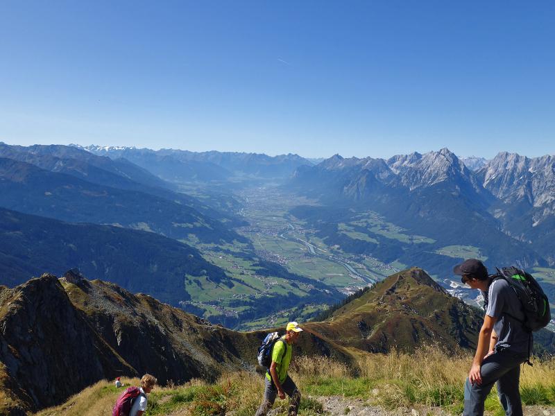
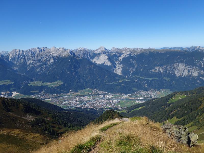
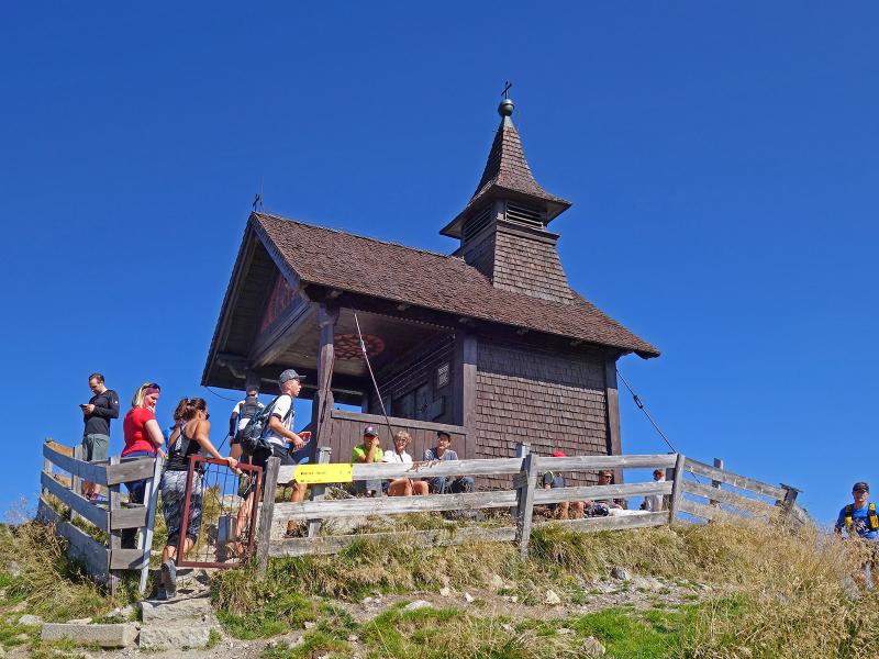
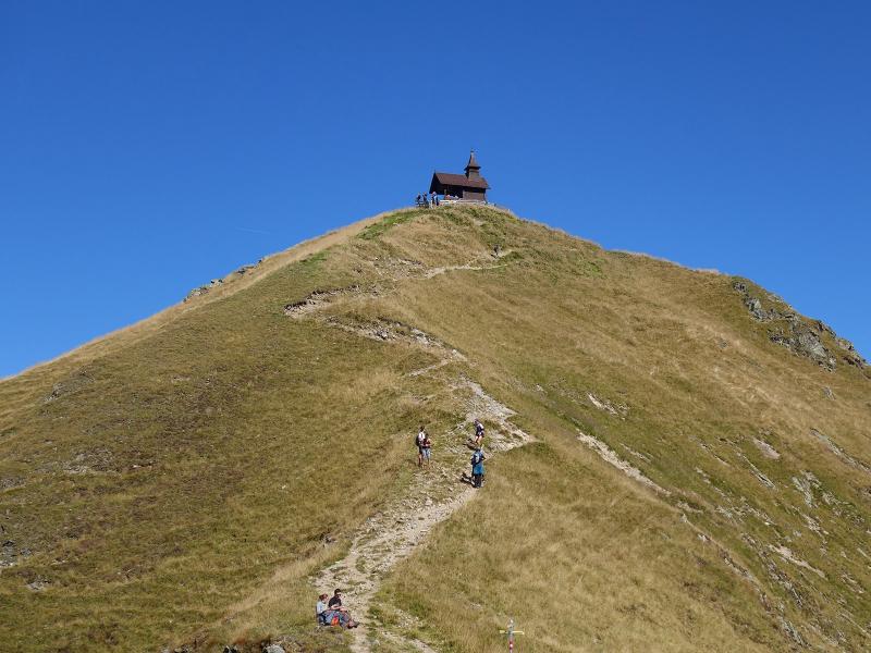
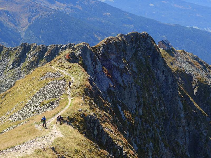
There we follow the gravel road to the goods cable lift, where we take the path to our left, which ascends slightly along the slope and reaches the crest at the Gratzenjoch. Here begins a section where surefootedness and a head for heights are necessary: It leads along the steep northern slope below the summit of Mt. Kellerjoch. At the end we reach a meadow where the path to the summit of Mt. Kellerjoch branches off. From here it is about 30 minutes to the chapel at the summit, the terrain is partly rocky and slippery. Arrived at the top, we enjoy a fantastic view on the surroundings, from the Zillertal valley to the Tux main ridge in the south and to the mountain chains of the Northern Limestone Alps.
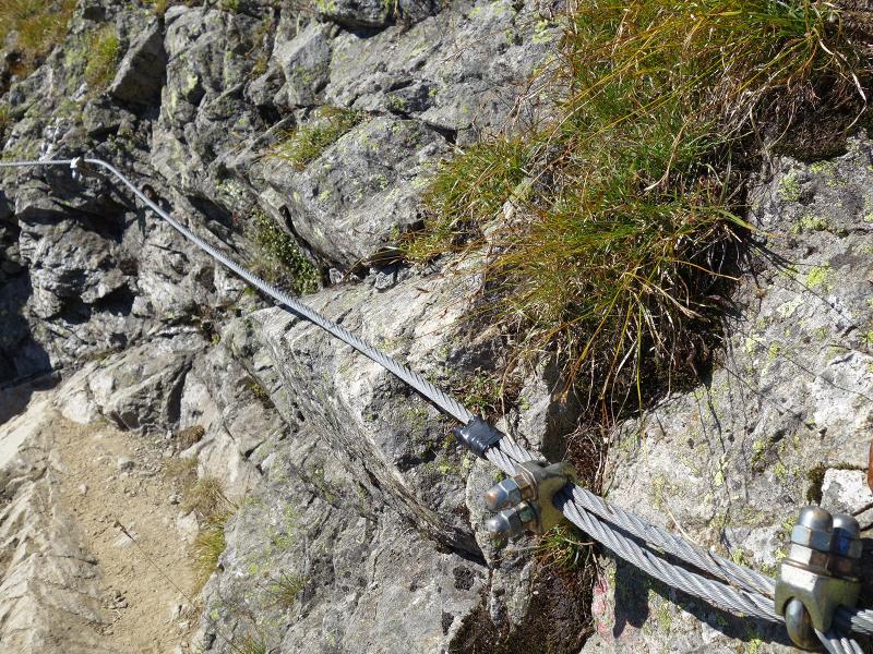
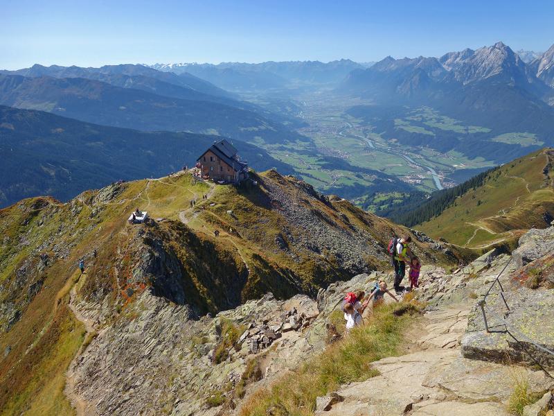
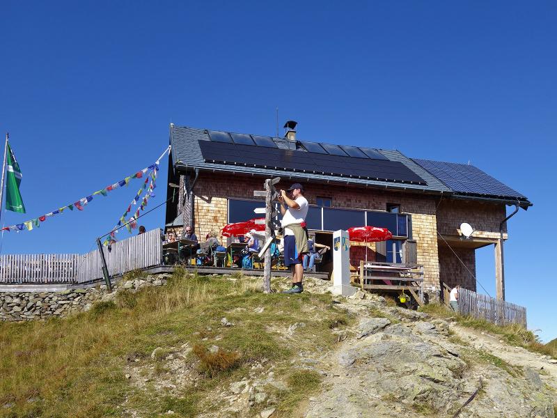
For our descent we choose the path via the Kellerjoch Mountain Hut, at some exposed spots it is secured with wire ropes. After our lunch break at the Kellerjochhütte we walk downhill on the slope of the Arbeserkogel, down to the mountain station of the chair lift, where our circular hike ends. This beautiful and panoramic mountain hike is recommended only to experienced mountaineers, as some sections are classified as black trails.
Author: AT
-
- Starting point:
- Berggasthof Hecher (Kellerjochbahn mountain station)
-
- Overall time:
- 03:15 h
-
- Total route length:
- 7,7 km
-
- Altitude:
- from 1.710 m to 2.302 m
-
- Altitude difference (uphill | downhill):
- +618 m | -618 m
-
- Route:
- Hecher - Alte Kellerjochhütte hut - Proxenalm Hochleger hut - Kreuzjoch/Kellerjoch (chapel) - Kellerjoch Mountain Hut - Hecher
-
- Signposts:
- Proxenalm (Larcheggsteig), Kellerjochkapelle, no. 329 (summit), 329 (Kellerjochhütte), 329 (Hecher)
-
- Resting points:
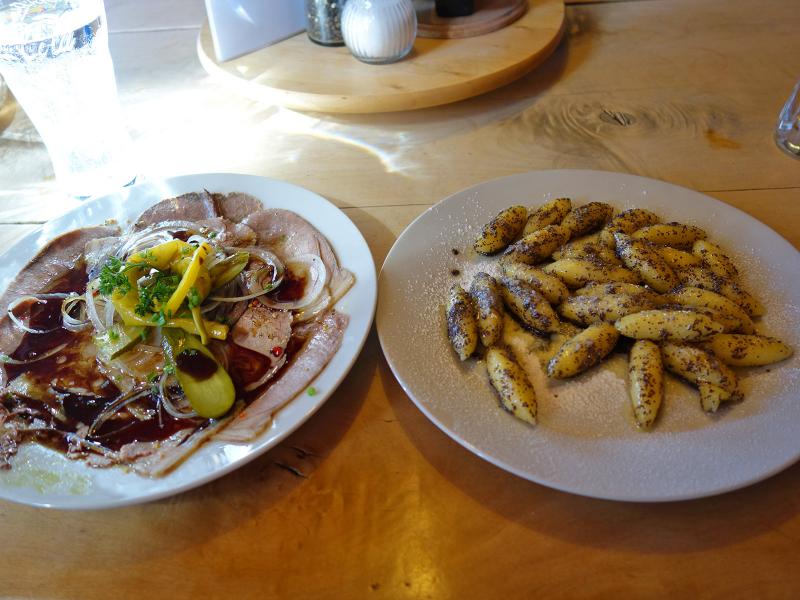
- Berggasthof Hecher, Kellerjochhütte
-
- Recommended time of year:
- Jan Feb Mar Apr May Jun Jul Aug Sep Oct Nov Dec
-
- Download GPX track:
- Circular hike on Mt. Kellerjoch
If you want to undertake this hike, we recommend checking the weather and trail conditions in advance and on site before starting this hike!