The Stubai High Route or Stubaier Höhenweg leads from one mountain hut to the next - a journey that can also be done in stages
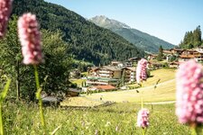
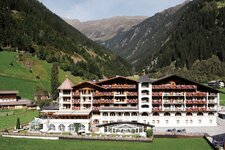
One of the most beautiful high-altitude trails in the Alps starts in Neustift im Stubaital and also ends there, making it an eight-day round trip through the landscape of the Stubai Alps. From the Schlick 2000 mountain station, the route leads first to the Starkenberger Hut and finally to the Innsbrucker Hut, from where the descent takes you back to Neustift. In between are well-known huts such as the Neue Regensberger Hütte, the Franz Senn Hütte and the Nürnberger Hütte.
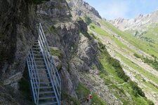
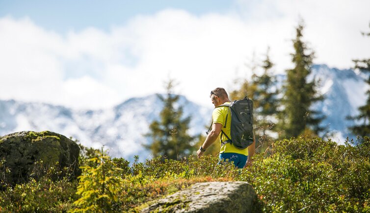
80 km in length and more than 6,000 metres in altitude are a challenge for your physical condition, but also an unforgettable experience in Tyrol's mountain world. The Stubai High Route is a black (difficult) mountain trail, which is partly secured with wire ropes and steel stirrups. However, it does not touch the mighty Stubai Glacier at the head of the valley. The daily stages are between 3 and 6 hours, the stage from the Bremer Hütte to the Innsbrucker Hütte is the longest with 7 hours.
Starting point: Neustift im Stubaital
Trail length: 80 km
Walking time: 8 day stages
Height difference: approx. 6,000 m