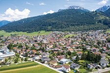
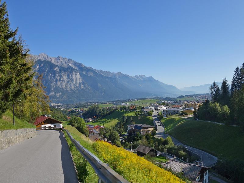
Starting at the village of Grinzens, you reach the Kemater alpine meadows in the Stubai Alps, walking along the valley path, always following the course of the brook
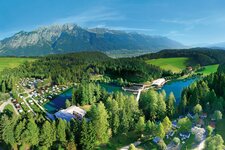
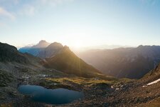
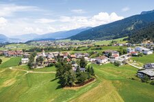
Image gallery: Hike to the Kemater Alm mountain hut
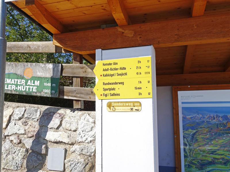
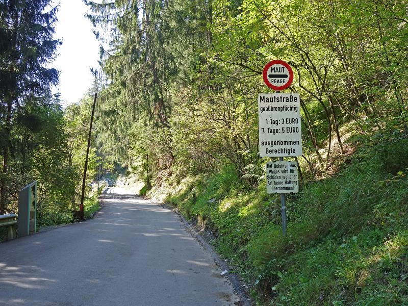
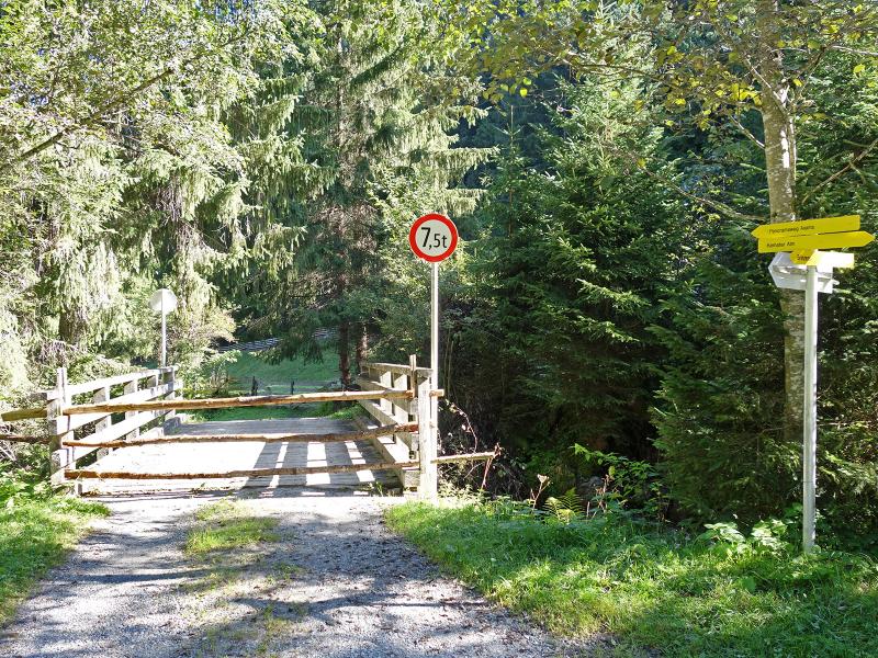
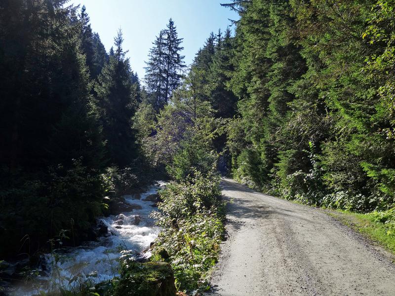
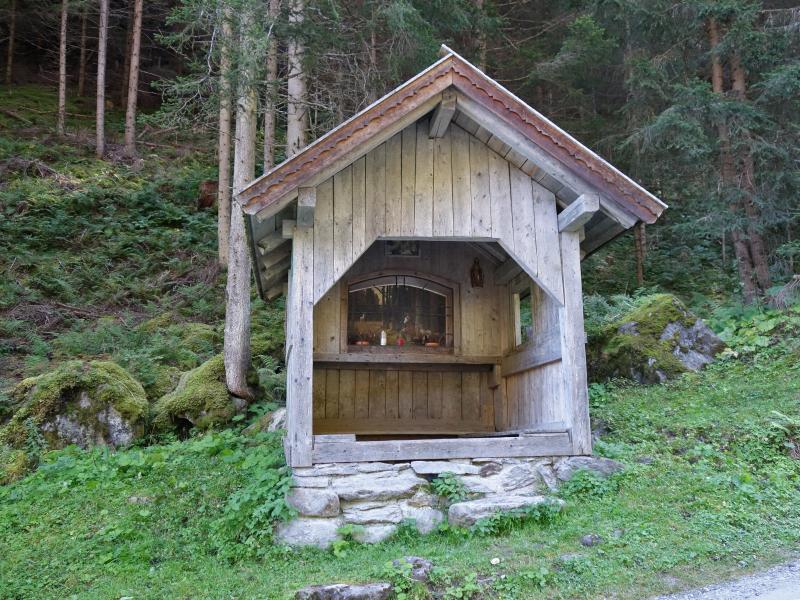
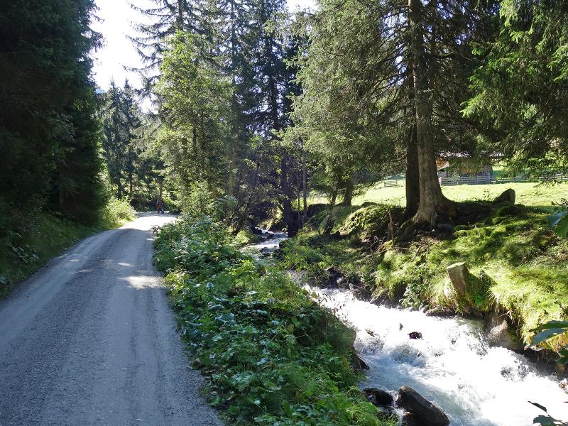
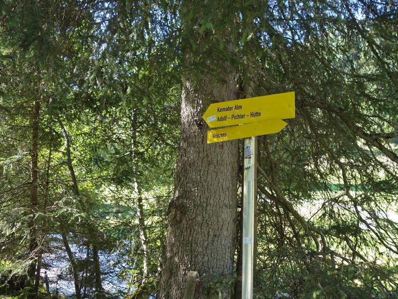
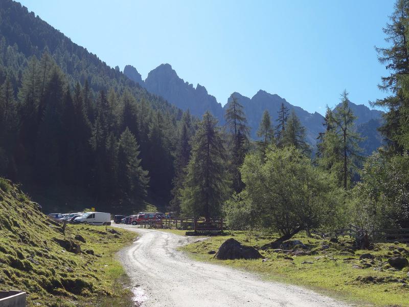
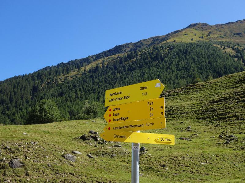
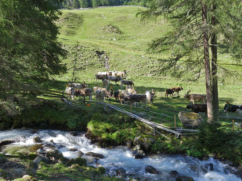
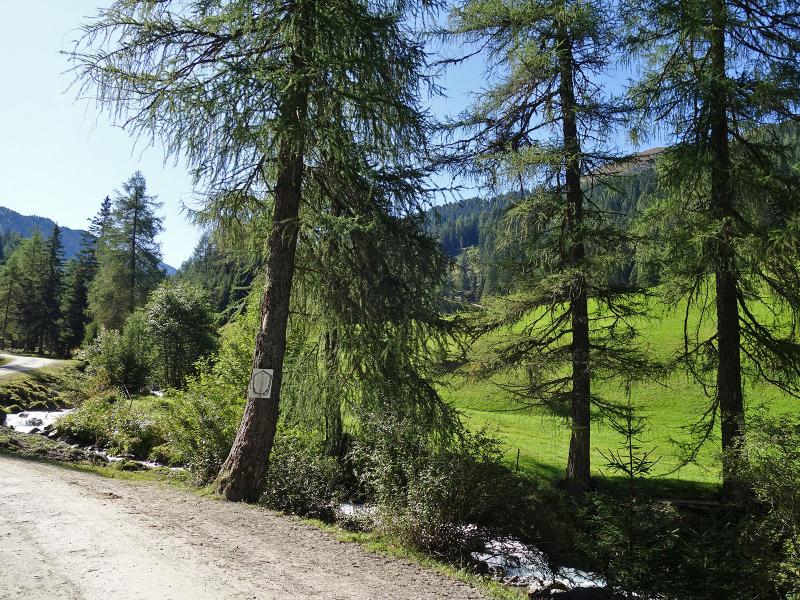
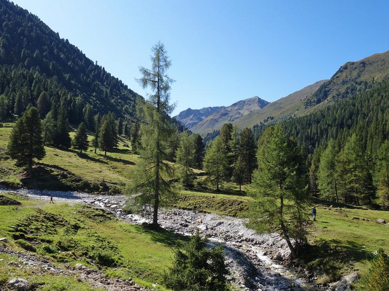
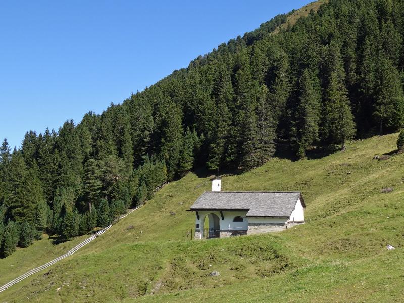
This hike through the Senderstal valley starts at the Sportcafé Grinzens. The valley path, an alpine road with gravel surface, connects the village with the Kemater Alm mountain hut. The lower section of the trail runs along the western bank of the Sendersbach brook, passing the first chapel. Later it continues on the eastern bank, where a second chapel is situated. The road passes the parking at the junction to Salfeins, and continues to lead uphill.
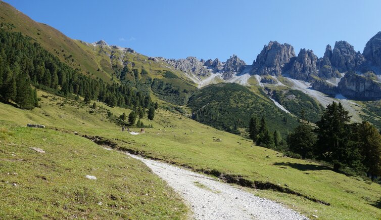
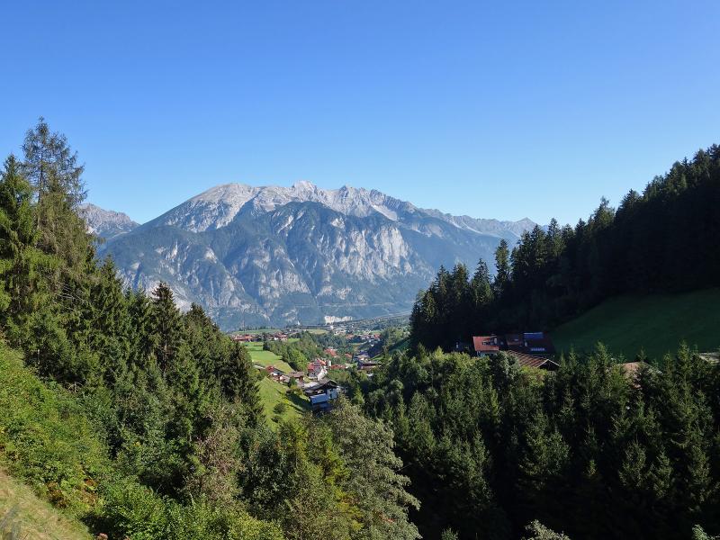
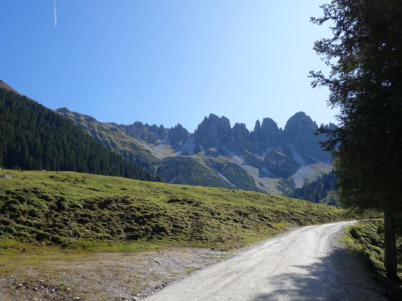
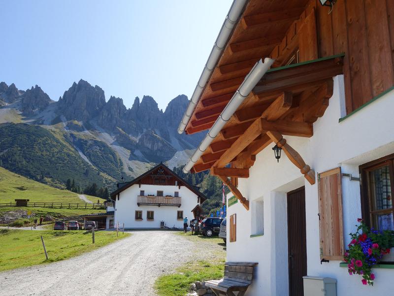
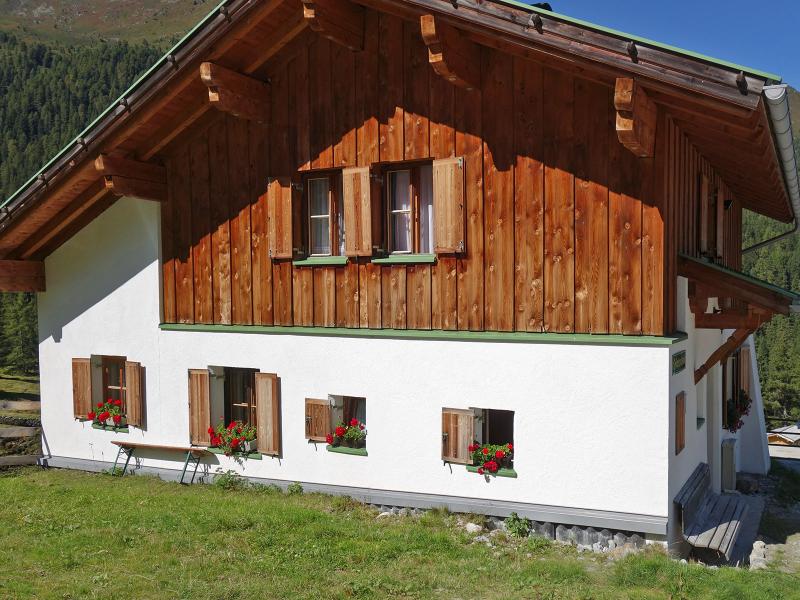
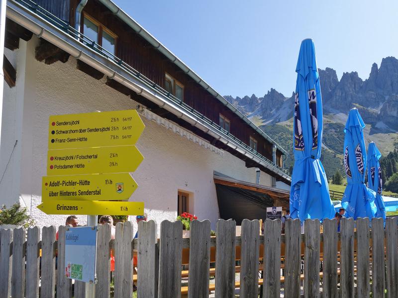
After more than 2 hours walk we reach the Kemater Mountain Hut, which is situated at a valley junction. Green meadows surround the mountain hut, as well as the other buildings and the small church. At the hut you can enjoy Tyrolean specialities. In the background, the peaks of the Kalkkögel rise to the sky, in the valley the Griesbach and the Sendersbach flow together. We return back to the village of Grinzens on the same path.
Author: AT
-
- Starting point:
- Grinzens (Sportcafé)
-
- Overall time:
- 03:50 h
-
- Total route length:
- 11,7 km
-
- Altitude:
- from 991 m to 1.664 m
-
- Altitude difference (uphill | downhill):
- +681 m | -681 m
-
- Signposts:
- no. 17, Sendersweg path
-
- Destination:
- Kemater Alm Mountain Hut
-
- Resting points:
- Kemater Alm
-
- Recommended time of year:
- Jan Feb Mar Apr May Jun Jul Aug Sep Oct Nov Dec
-
- Download GPX track:
- Hike to the Kemater Alm mountain hut
If you want to undertake this hike, we recommend checking the weather and trail conditions in advance and on site before starting this hike!