This quite rough uphill hike in the Kitzbühel Alps leads through the forest up to the timberline to the summit of Mt. Pengelstein, where the view opens up until the main Alpine ridge
Image gallery: Hike to Mt. Pengelstein
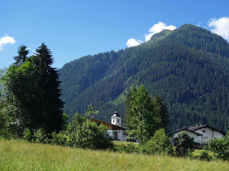
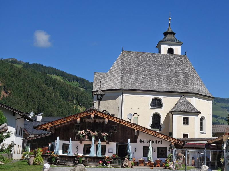
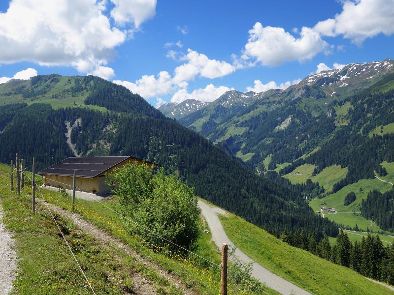
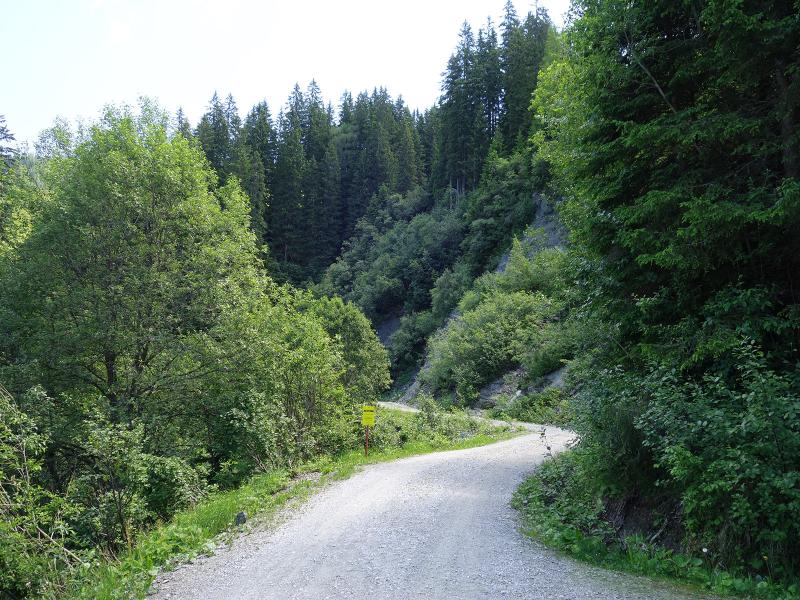
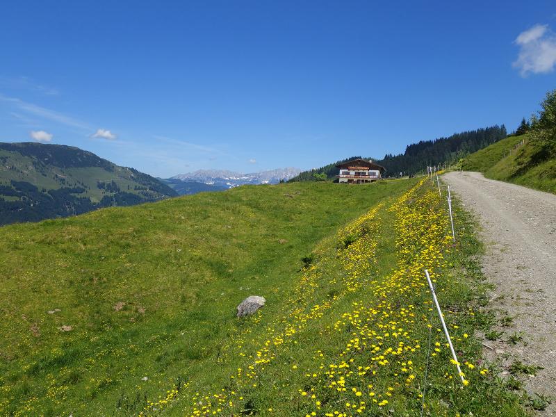
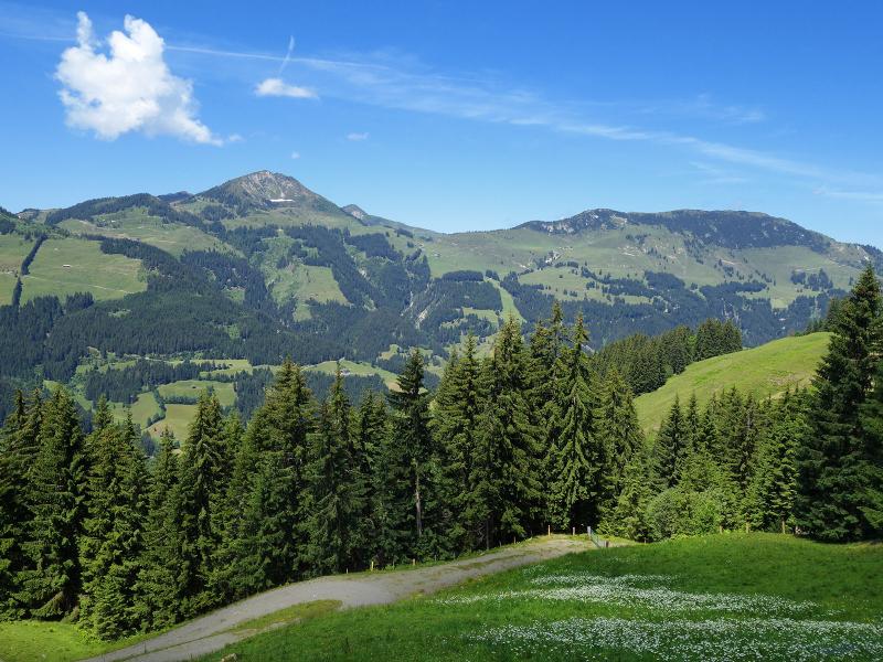

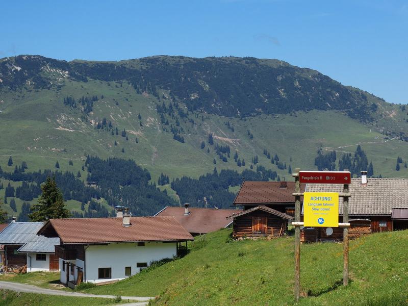
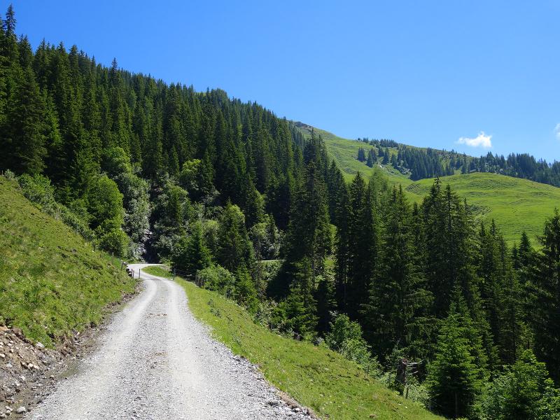
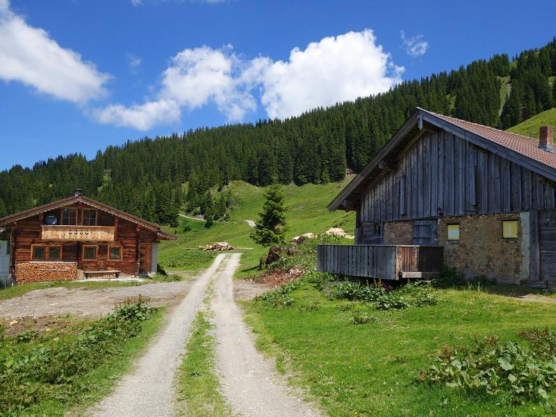
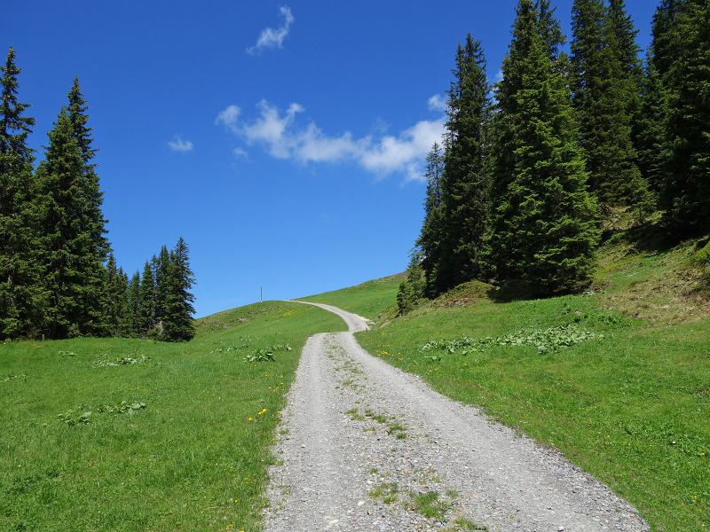
The tranquil village of Aschau is located in the Spertental valley south of Kirchberg in Tyrol. At the Gredwirt tavern, in the village centre, our hike starts: We follow the trail that leads steeply uphill to the forest behind the bandstand. It is the steepest section of the tour. Soon we reach the Aschau High Route, which we follow towards north-east. After the bridge over the Usterkarbach stream we reach the bend south of the valley station of the Hieslegg Lift, here we branch off to the right and follow the forest road "Usterkar" uphill. This constantly ascending section of the trail alternately crosses woods and meadows, passes the huts of the Gauxer Mountain Hut and finally reaches the timberline in the area of the Hieslegg slopes.
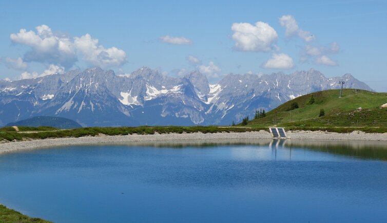
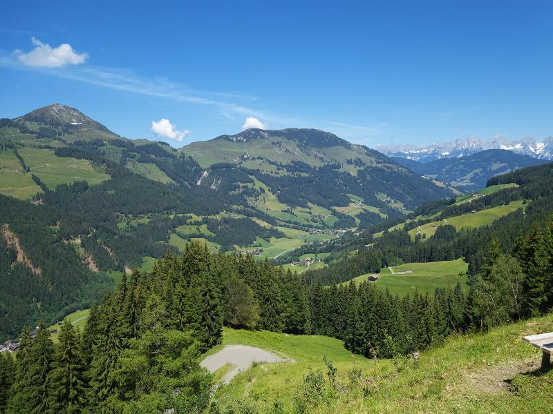
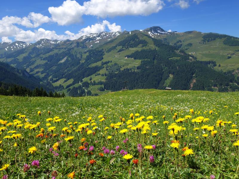
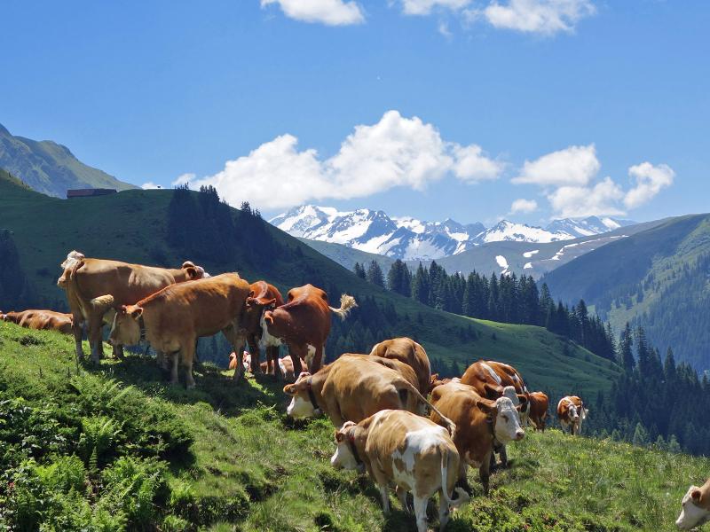
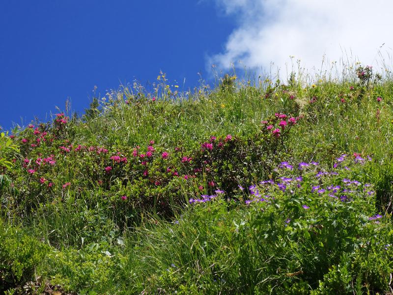
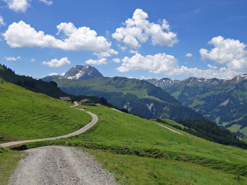
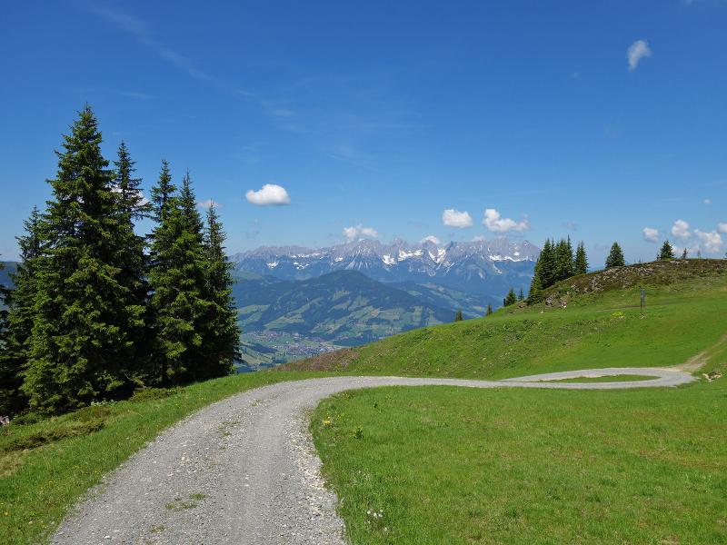
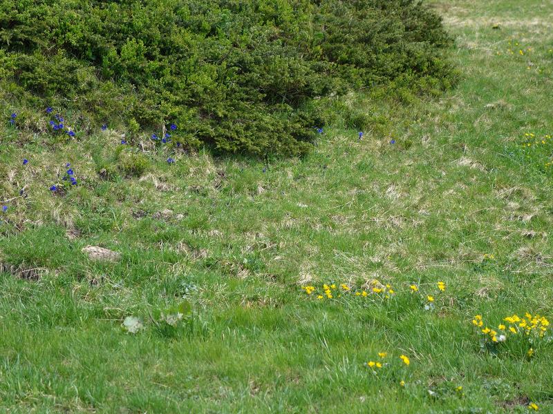
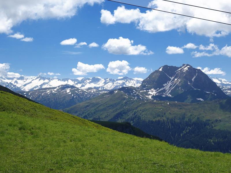
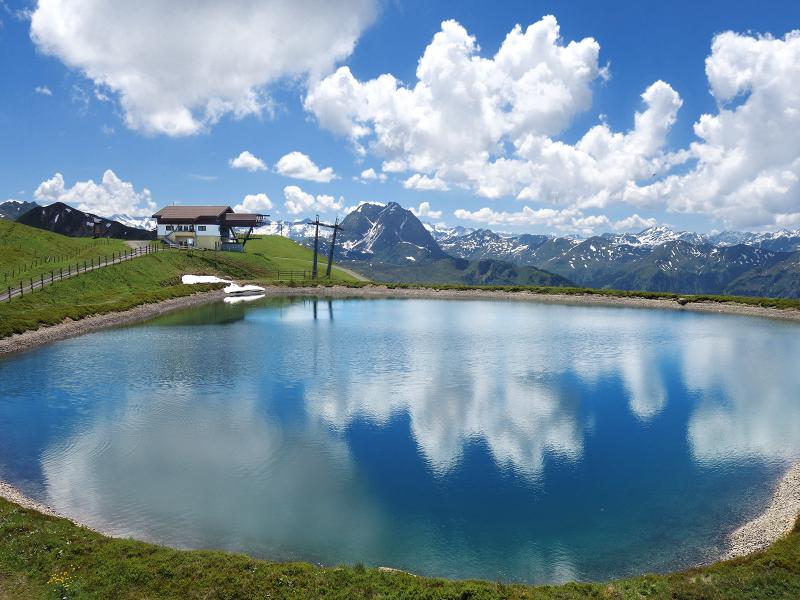
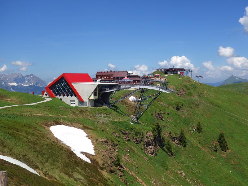
Now, in early summer, marsh marigolds, gentians and various buttercup species bloom in the meadows. The view extends to Mt. Wilder Kaiser in the north and to the main Alpine ridge in the south, dominated by the mighty High Tauern with the Grossglockner and the Venediger Group. Arrived at the mountain station of the Hieslegg Chair Lift, we walk past the reservoirs a last section on the mountain crest to the Pengelstein tavern. Here the ascent ends after about 3 hours. Later we take the same route back to Aschau.
Author: AT
-
- Starting point:
- Aschau near Kirchberg (village centre)
-
- Overall time:
- 05:40 h
-
- Total route length:
- 16,8 km
-
- Altitude:
- from 1.011 m to 1.931 m
-
- Altitude difference (uphill | downhill):
- +940 m | -940 m
-
- Signposts:
- Aschauer Höhenweg, Pengelstein
-
- Destination:
- Pengelstein (restaurant)
-
- Resting points:
- Pengelstein (restaurant)
-
- Recommended time of year:
- Jan Feb Mar Apr May Jun Jul Aug Sep Oct Nov Dec
-
- Download GPX track:
- Hike to Mt. Pengelstein
If you want to undertake this hike, we recommend checking the weather and trail conditions in advance and on site before starting this hike!