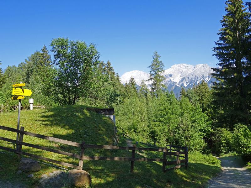
The Pfaffenhofer Mountain Hut, also known as Widdersberger Mountain Hut, lies above the Inn Valley: Via a hiking trail we reach this destination at the feet of Mt. Narrenkopf and Mt. Sonnkarköpfl
Image gallery: Hike to the Widdersberger Alm mountain hut
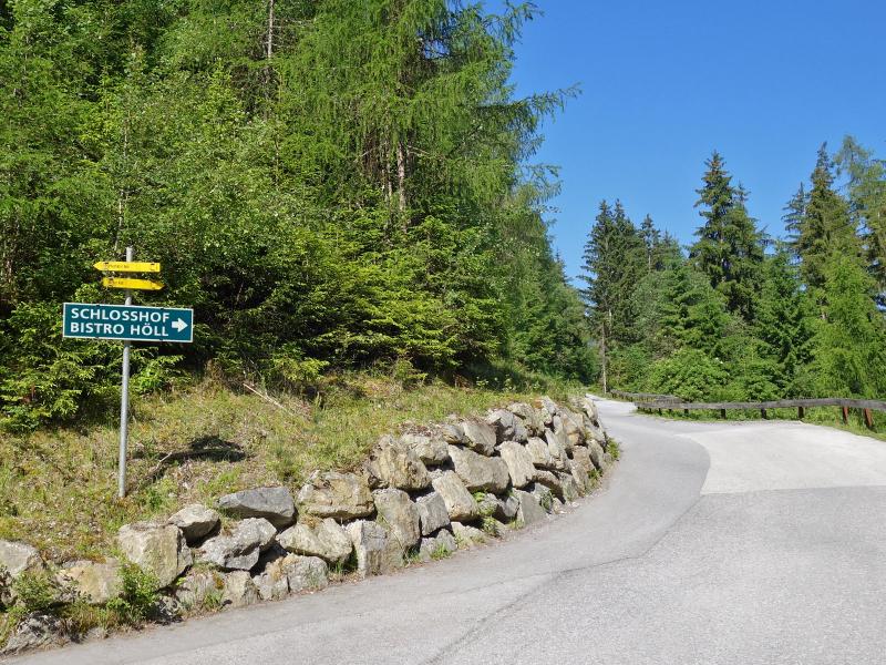
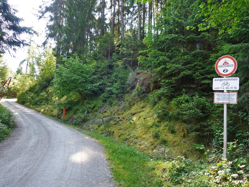
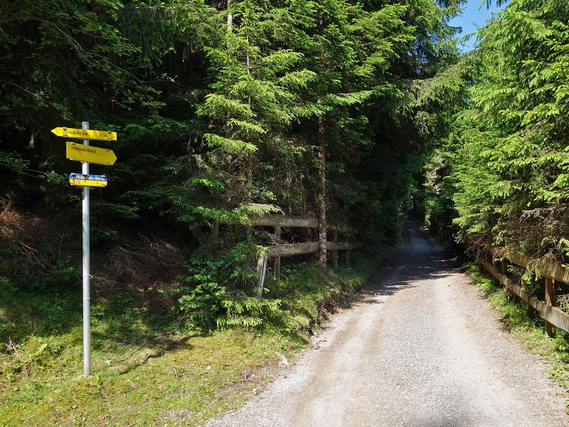
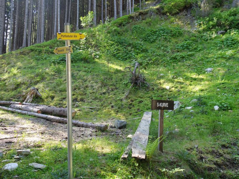
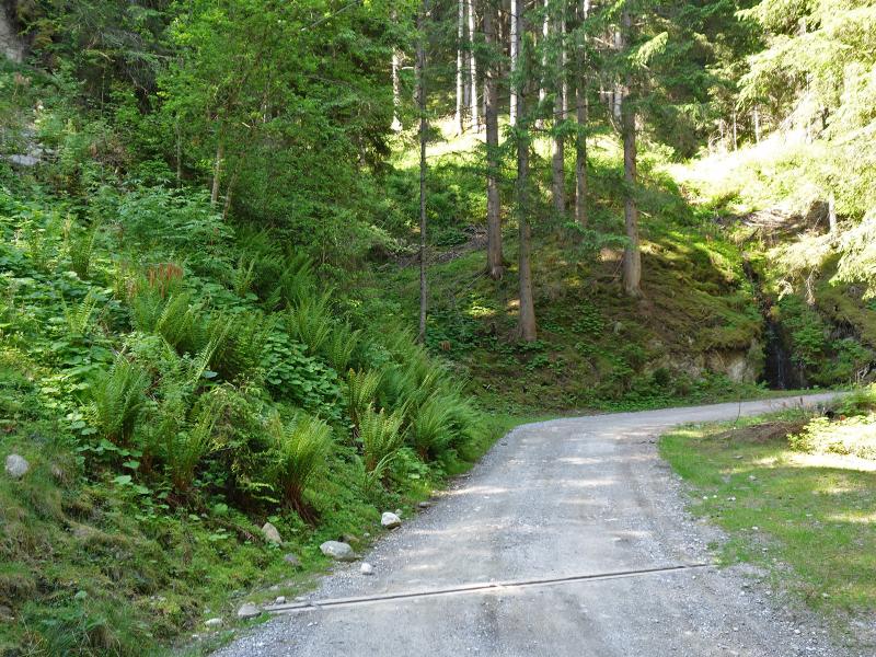
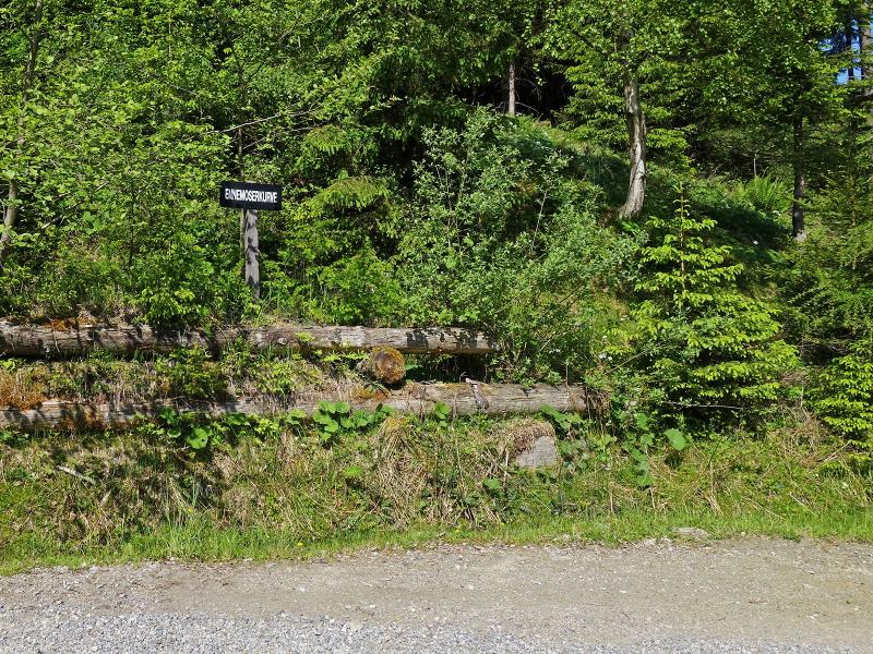
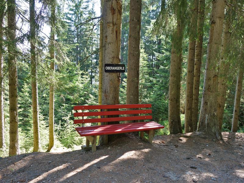
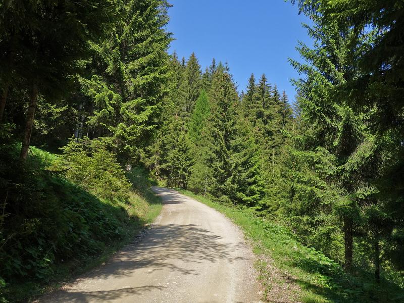
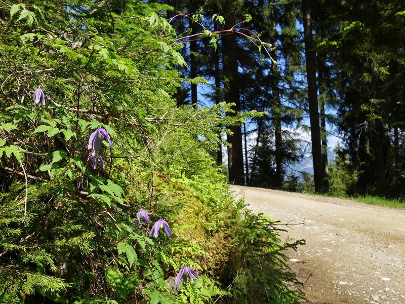
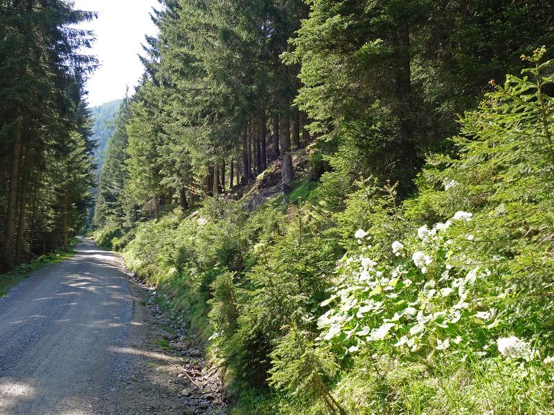
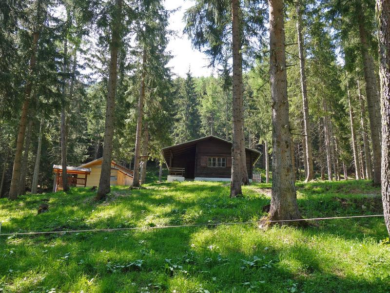
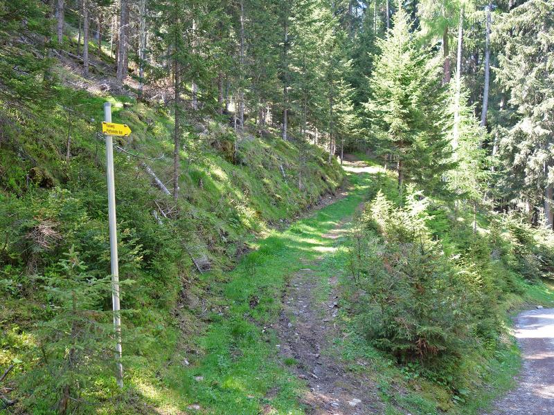

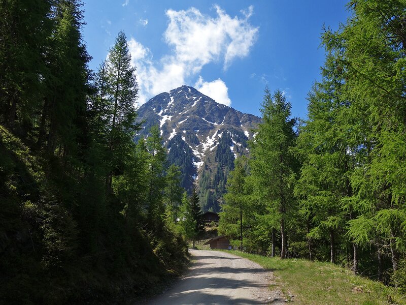


The road, which proceeds from Pfaffenhofen near Telfs to the Schlosshof Hotel, leads to the starting point of our hike today. After about 1.5 km from Pfaffenhofen we reach the junction of the forest road to the Pfaffenhofer Mountain Hut, which we follow. Curve after curve the road climbs up through the forest. There are always possibilities to shorten the route a little by using the steeper forest paths that cross the road. If you like it more comfortable, stay on the forest road. The route shows no difficulties, but the ascent with 6.5 km is quite long and you have to manage 840 metres in altitude to reach the destination. Please plan about 2.5 hours for that.
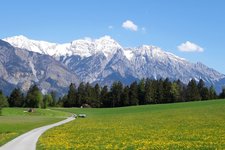
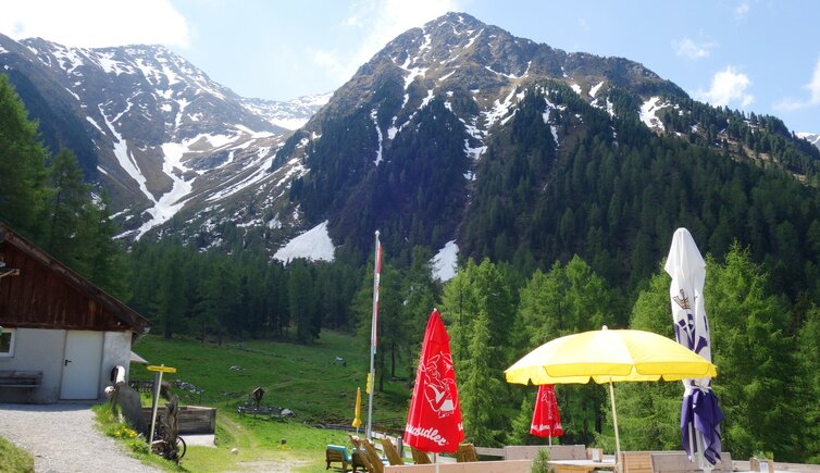
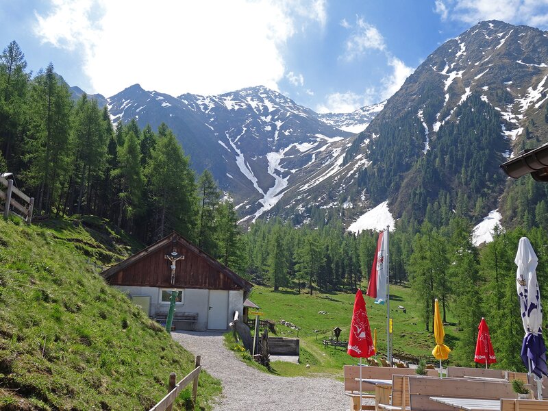
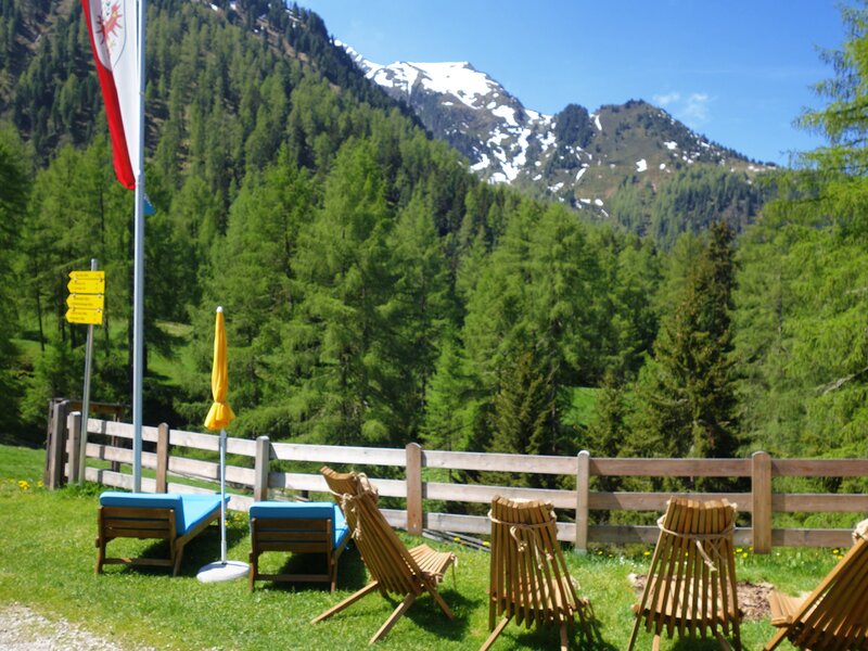
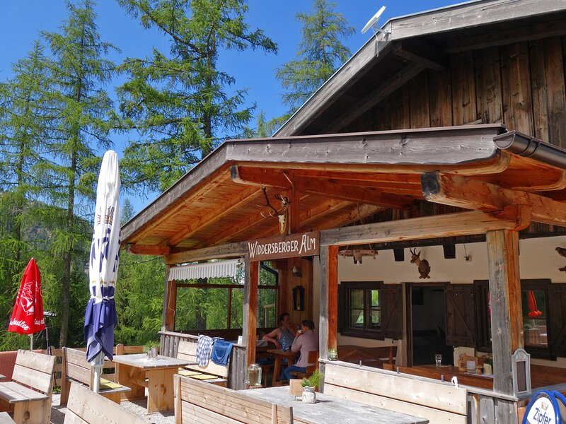
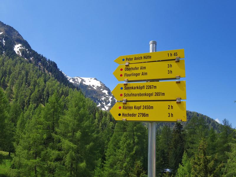
At almost 1,700 m above sea level we reach our destination, the Widdersberger or Pfaffenhofer Alm. The mountain hut is located at the beginning of a small valley basin, which lies in the heart of the northern Sellrain Mountains and is bordered by meadows and forests. The Sonnkarköpfl, the almost 2,800 m high Hocheder and the Narrenkopf mountains frame the alpine meadows. The mountain hut offers good Tyrolean cuisine and is a great place to rest after the long ascent. Hiking paths connect the hut not only with the surrounding peaks, but also with the neighbouring Oberhofer Melkalm and Peter-Anich-Hütte mountain huts. In the afternoon we take the same route for our way back into the Inntal valley.
Author: AT
-
- Starting point:
- Pfaffenhofen, path to the Schlosshof/Schennach, junction forest path to the Pfaffenhofer Mountain Hut
-
- Overall time:
- 04:00 h
-
- Total route length:
- 14,1 km
-
- Altitude:
- from 838 m to 1.697 m
-
- Altitude difference (uphill | downhill):
- +863 m | -863 m
-
- Signposts:
- Pfaffenhofer Alm, no. 4
-
- Destination:
- Pfaffenhofer Mountain Hut (Widdersberger Alm)
-
- Resting points:
- Pfaffenhofer Alm
-
- Track surface:
- Forest road
-
- Recommended time of year:
- Jan Feb Mar Apr May Jun Jul Aug Sep Oct Nov Dec
-
- Download GPX track:
- Hike to the Widdersberger Alm mountain hut
If you want to undertake this hike, we recommend checking the weather and trail conditions in advance and on site before starting this hike!