This nice hiking tour leads from Innervillgraten to the beautiful alpine hut village of the Kamelisenalm in the Villgratner Mountains
Image gallery: Hike to the Kamelisenalm alpine village
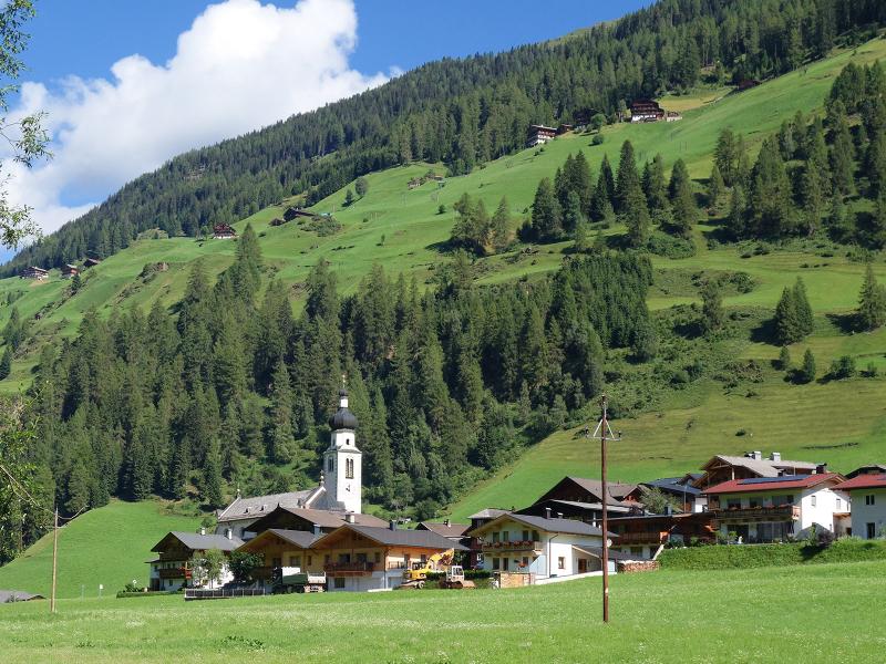
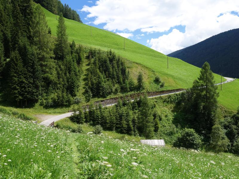
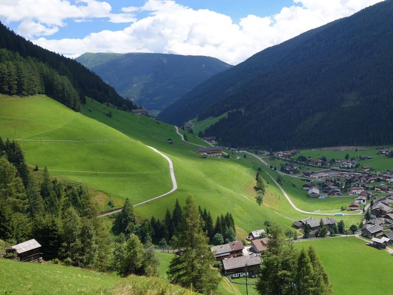
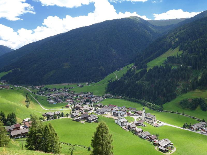
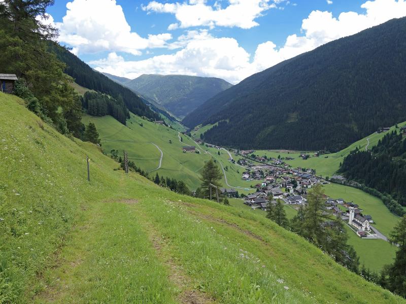
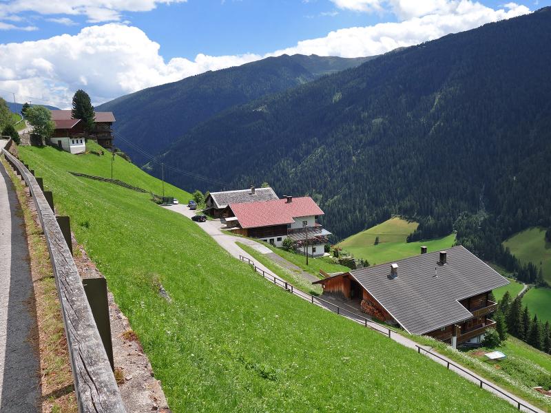
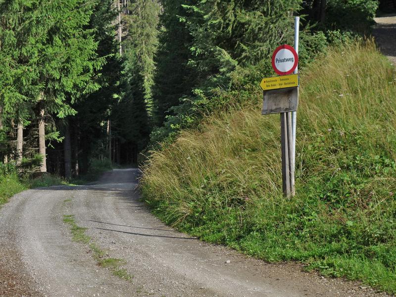
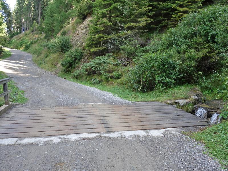
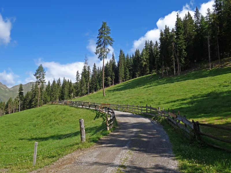
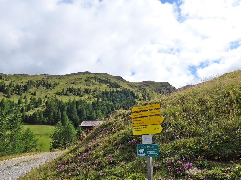
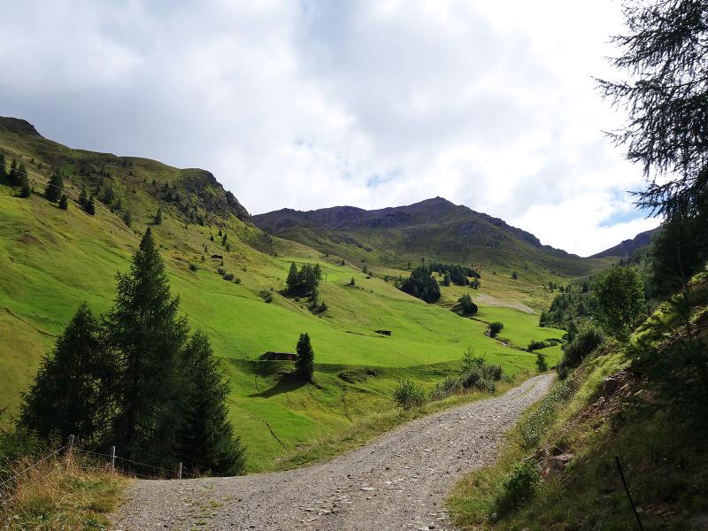
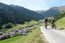
The hike starts directly in the village centre of Innervillgraten. We follow the steeply ascending road into the Einattal valley, which follows the course of the Einatbach stream. At the bend before the bridge we turn left onto the Berger Kirchweg, a steep path that leads across the meadow slope to the west. This leads into a dirt road, which finally leads to an asphalt road. We are now at the farms of Hochberg and follow signpost no. 1 towards the Kamelisen Alpine Village (Kamelisenalm). Passing the farms of Berglet and Schettlet we reach the forest.
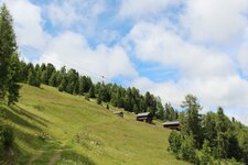
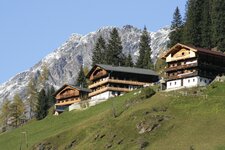
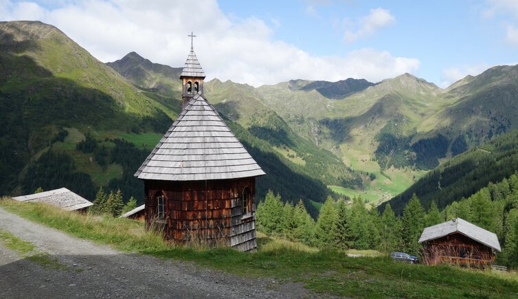
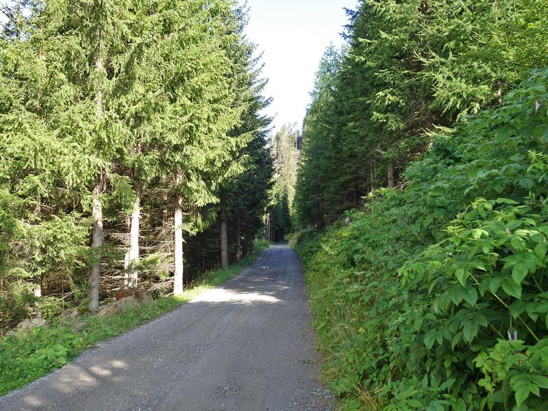
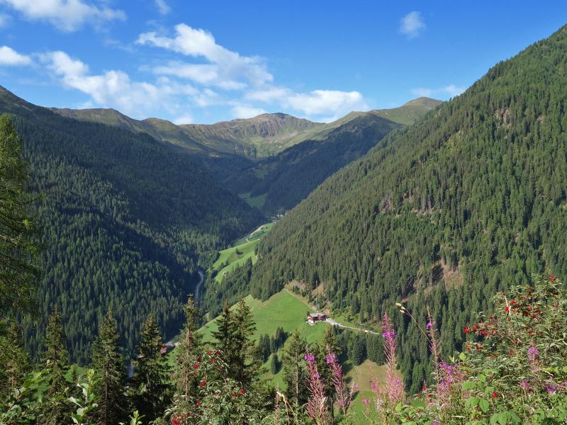
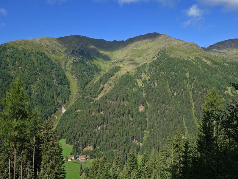
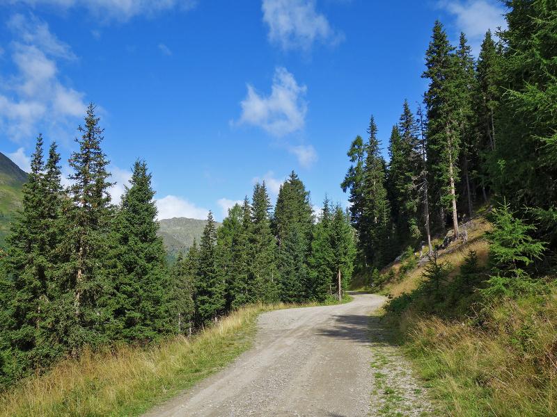
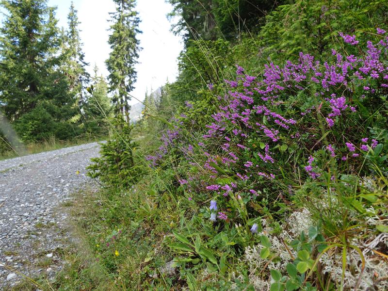
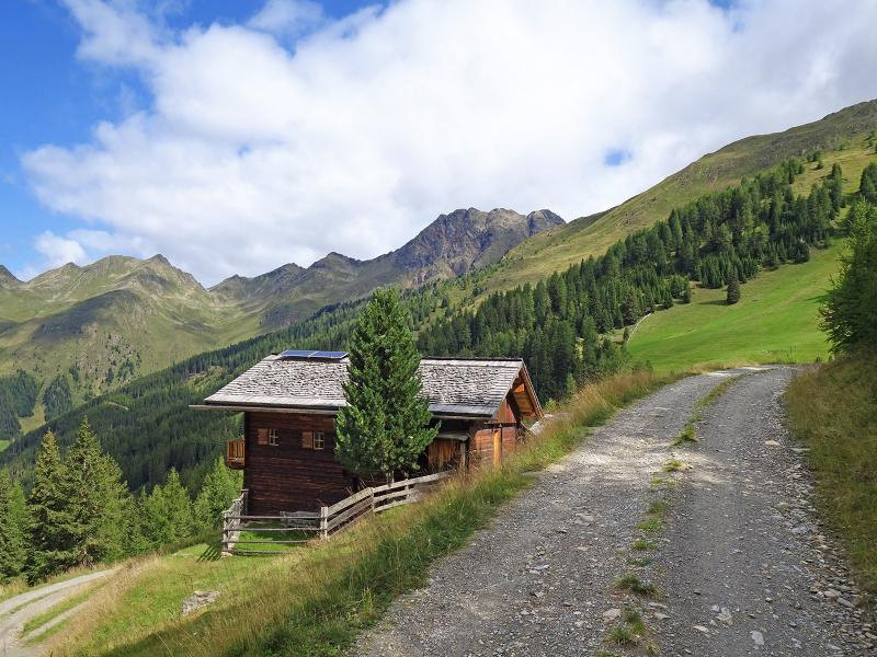
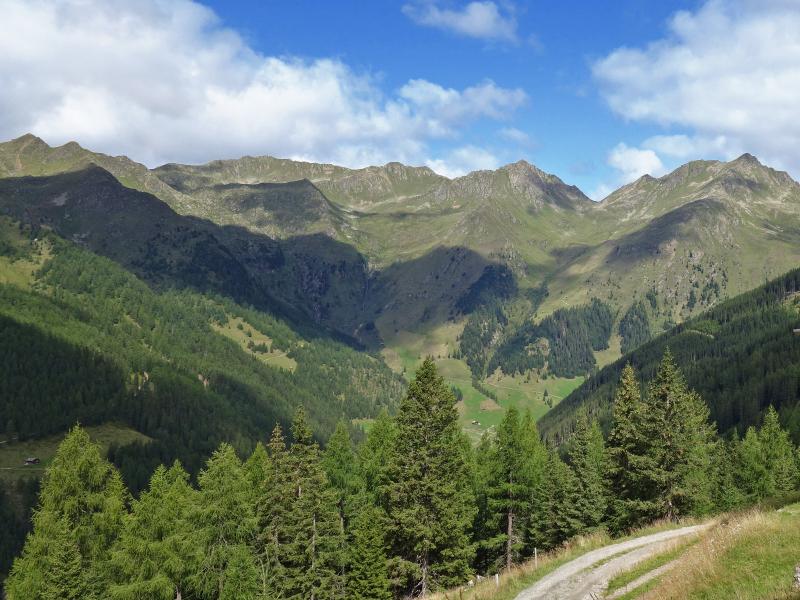
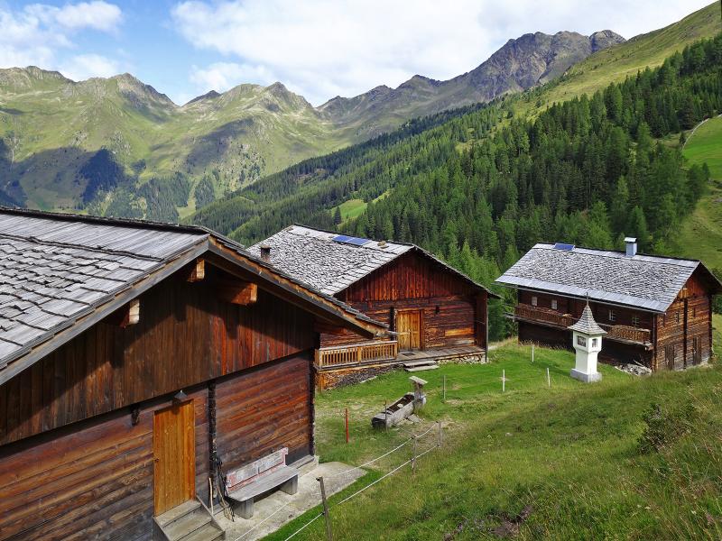
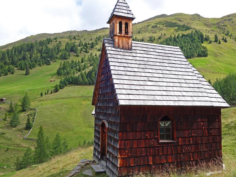
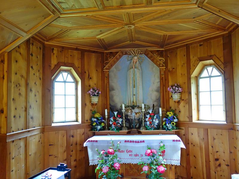
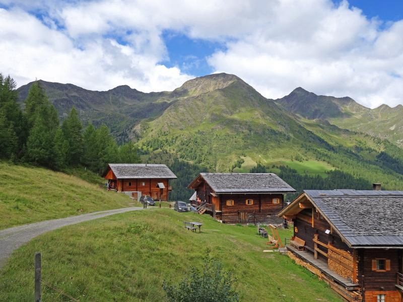
Here the forest road starts, which leads us directly to the Kamelisenalm. A gentle, leisurely ascent takes us to our destination. The Kamelisenalm is a particularly beautiful alpine pasture ensemble, typical for the Villgratental valley. The beautiful wooden alpine huts are now partly used as holiday apartments. The alpine pasture does not offer rest stops, so it is advisable to take a picnic in your rucksack. Surrounded by meadows and forests, the little alpine village is a beautiful photo motif. In its centre there is the chapel of the Blessed Virgin of Fatima and a beautiful wayside shrine. Back to Innervillgraten we take the same route.
Author: AT
-
- Starting point:
- Innervillgraten (village centre)
-
- Overall time:
- 03:55 h
-
- Total route length:
- 12,3 km
-
- Altitude:
- from 1.388 m to 1.975 m
-
- Altitude difference:
- +599 m | -599 m
-
- Signposts:
- Gasse (Einattal), Berger Kirchsteig, no. 1 (Kamelisenalm)
-
- Destination:
- Kamelisen Alpine Village
-
- Recommended time of year:
- Jan Feb Mar Apr May Jun Jul Aug Sep Oct Nov Dec
-
- Download GPX track:
- Hike to the Kamelisenalm alpine village
If you want to do this hike, we suggest you to check the weather and trail conditions in advance and on site before setting out.