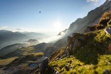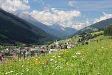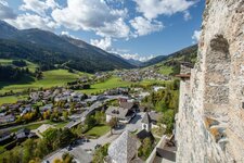
Mt. Thurntaler, the local mountain of Sillian, offers a gorgeous view on the surroundings: Here we make an easy hiking tour with a side-trip to the Lake Thurntaler
Image gallery: Thurntaler circular hike
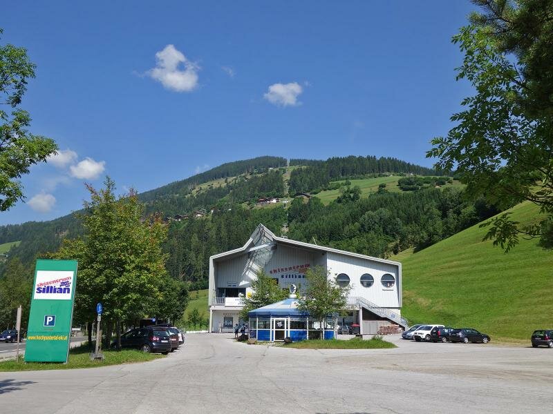
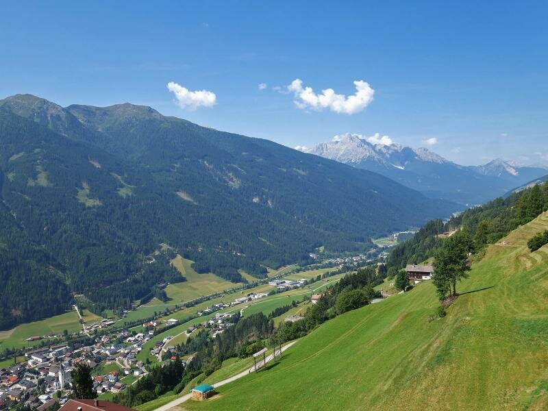
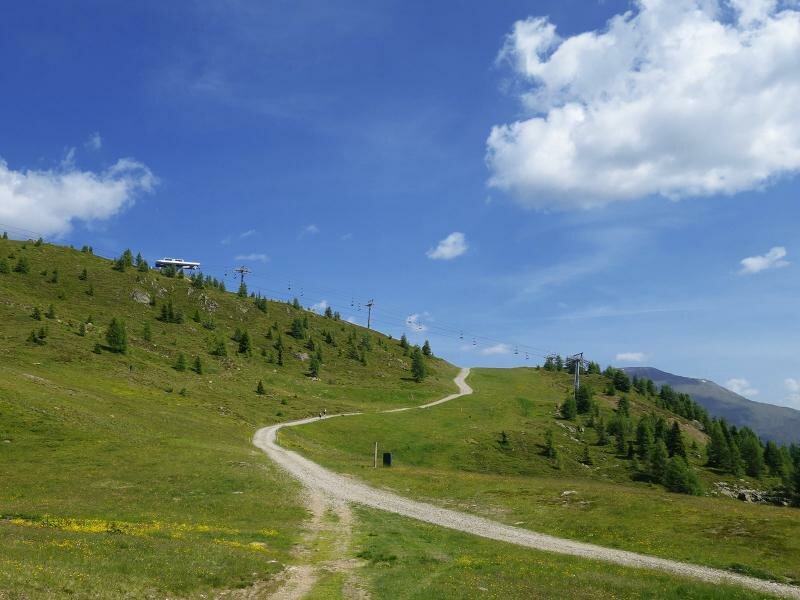
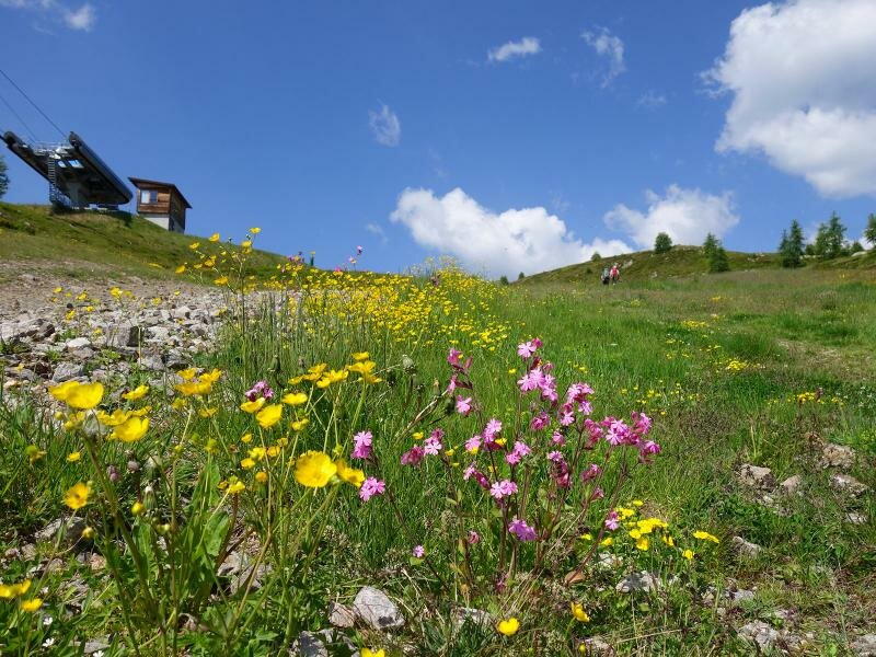
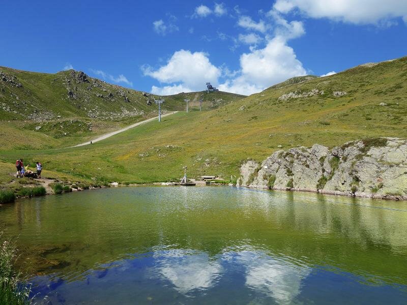
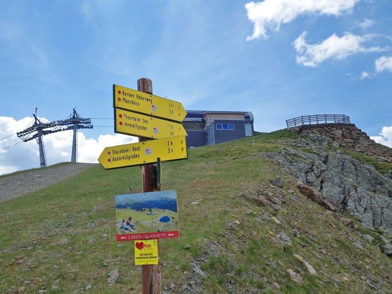
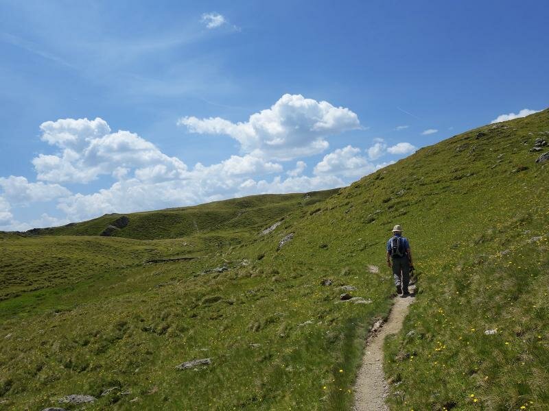
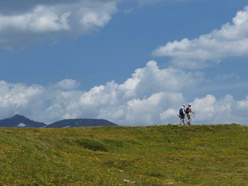
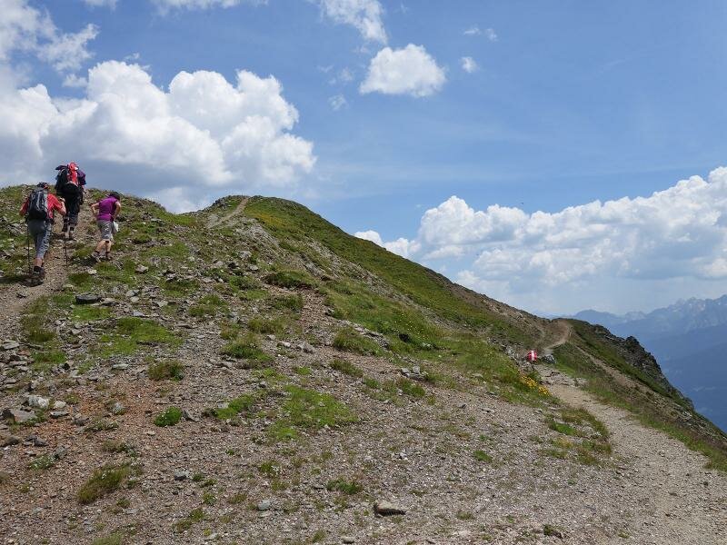
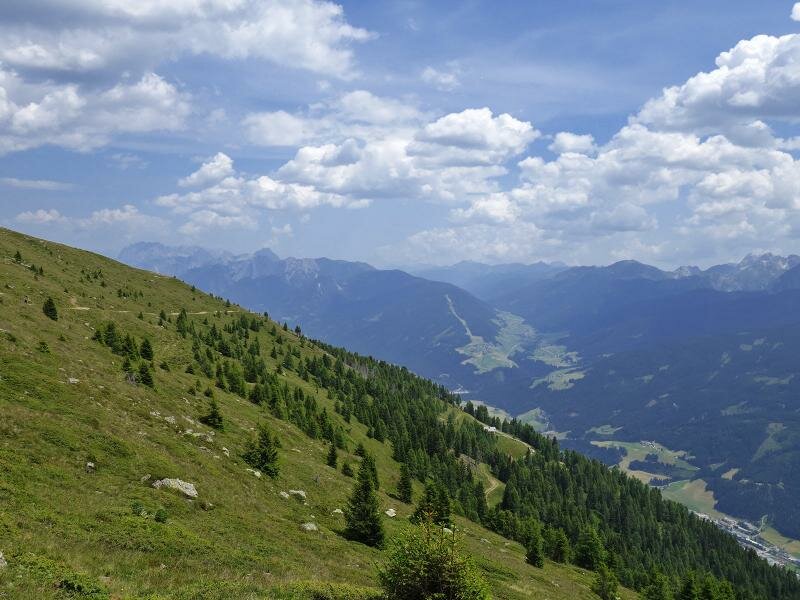
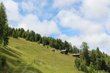
The Sillaner Bergbahnen Cable Car - in winter a skiing area - takes us up to 2,100 m a.s.l. where the mountain station Gadein is located. The first section we walk towards north, first lightly then quite steeply uphill along the gravel road. After about half an hour we reach the area of the "Drei Seen" (Three Lakes). The path proceeds further uphill to the peak of Mt. Thurntaler (mountain station of the chair lift, we recommend to check the current opening times of the cable cars) which separates the Hochpustertal valley from the Villgratental valley. Here we follow the path with the marker "Bonner Höhenweg" (Bonn High Route) which proceeds along the mountain crest towards west.
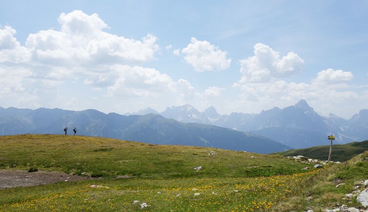
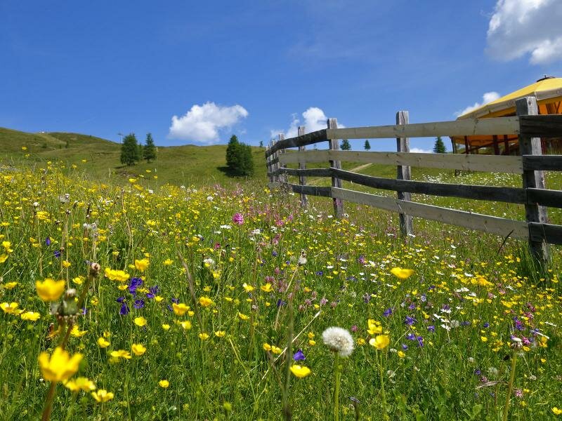
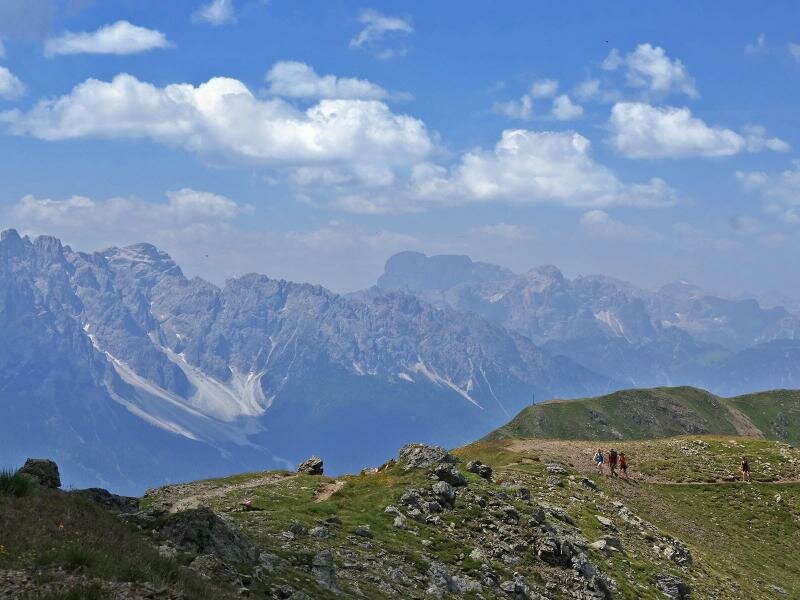
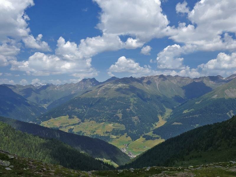
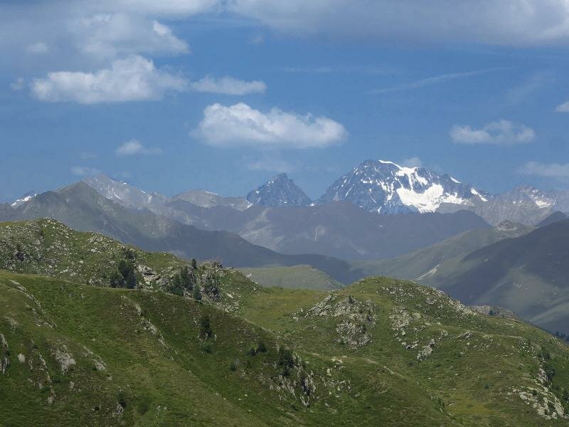
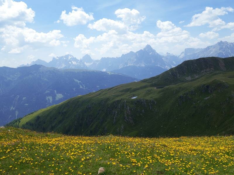
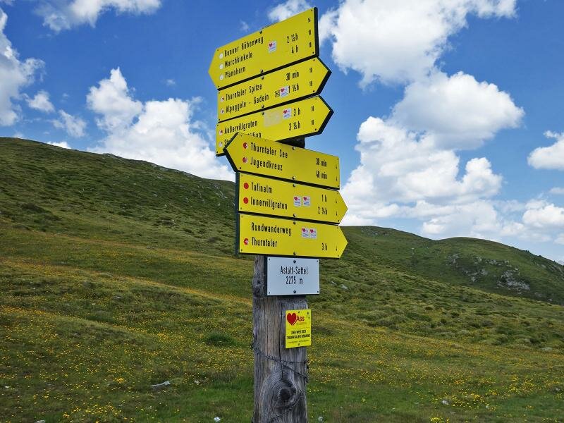
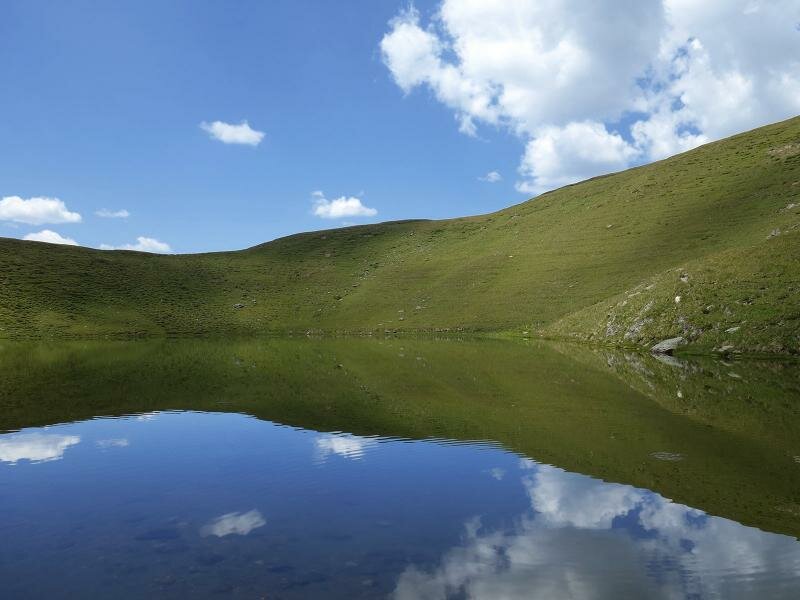
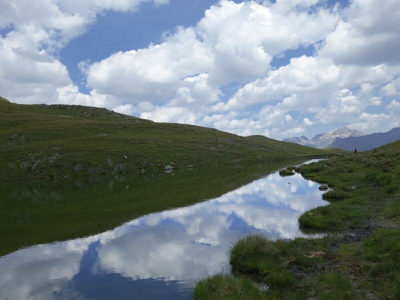
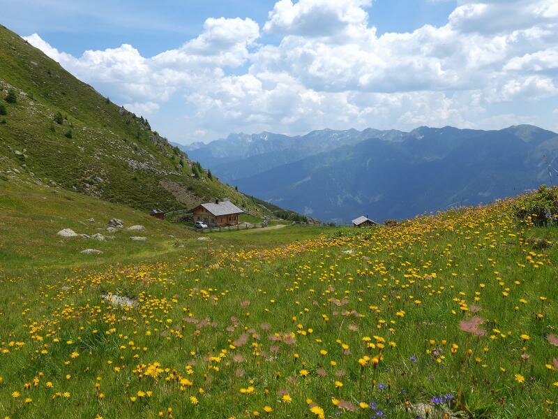
Arrived on the Astatt Saddle we decide to make a side-trip to Lake Thurntaler which is located about 1 km further south westerly. On the way there we enjoy fantastic views on the Braies, Sesto and Lienz Dolomites, on the Carnic Alps, the Deferegg Alps, and the Venediger Group in the very north. On our way back we follow the path no. 10B (after the Astatt Saddle) towards Gadein and take the cable car down to Sillian again.
Author: AT
-
- Starting point:
- Gadein mountain station (Sillian/Panzendorf)
-
- Overall time:
- 03:10 h
-
- Total route length:
- 9,3 km
-
- Altitude:
- from 2.089 m to 2.376 m
-
- Altitude difference:
- +363 m | -363 m
-
- Route:
- Gadein - Three Lakes - Mt. Thurntaler - Bonn High Route - Astatt Saddle - Lake Thurntaler - Astatt Saddle - Äussere Hochalm Mountain Hut - Gadein
-
- Signposts:
- Drei Seen, no. 10, Thurntaler See, 10, 10B
-
- Destination:
- Lake Thurntaler See
-
- Resting points:
- Gadein mountain station
-
- Recommended time of year:
- Jan Feb Mar Apr May Jun Jul Aug Sep Oct Nov Dec
-
- Download GPX track:
- Thurntaler circular hike
If you want to do this hike, we suggest you to check the weather and trail conditions in advance and on site before setting out.