Short mountain hike across the 2,200 m high Steinjöchl ridge to the Anhalter Mountain Hut in the Lechtal Alps
Image gallery: Hike to the Anhalter Hütte mountain hut
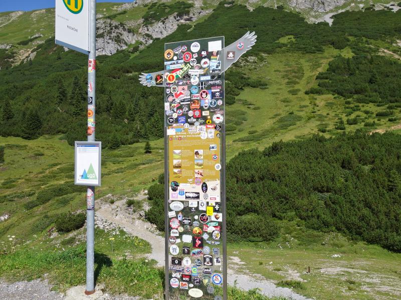
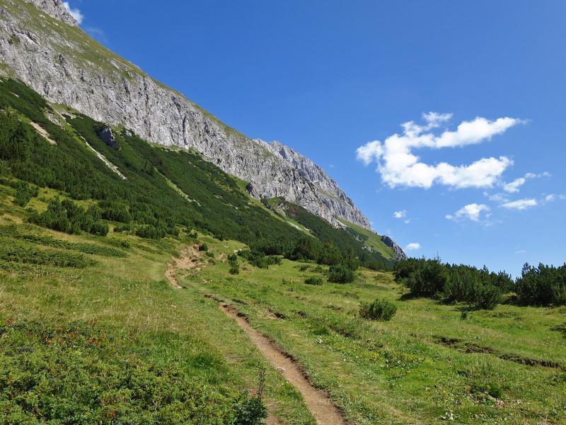
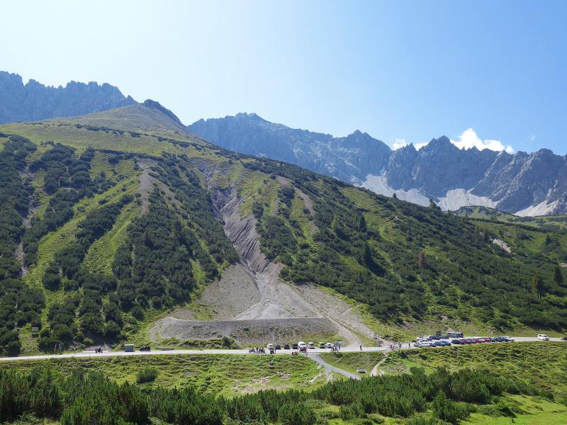
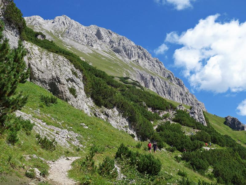
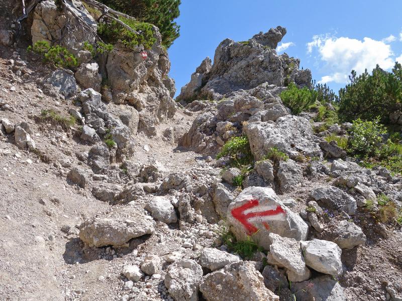
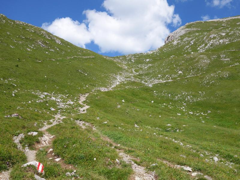
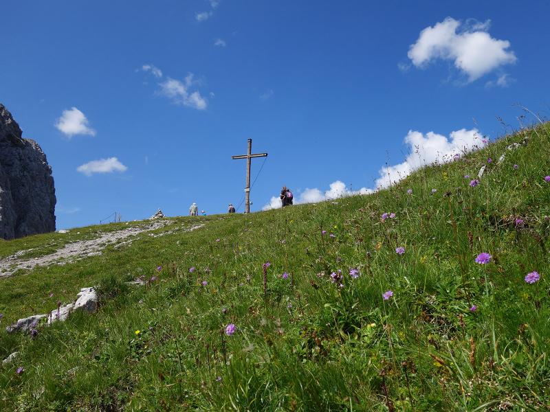
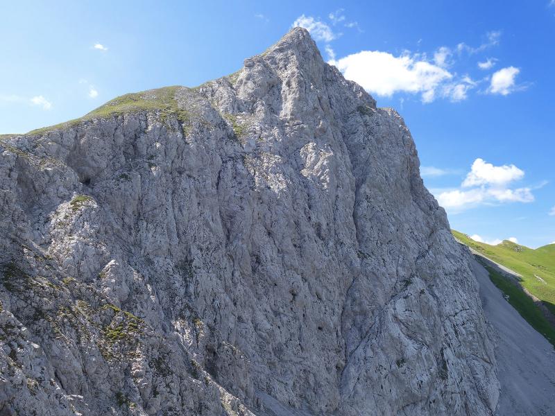
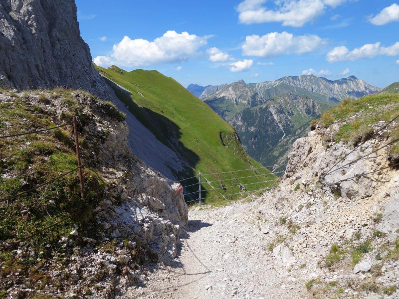
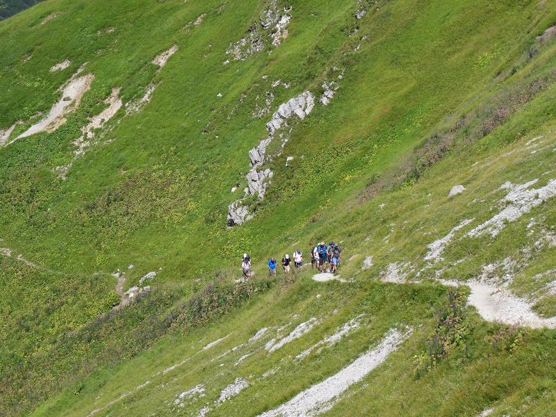
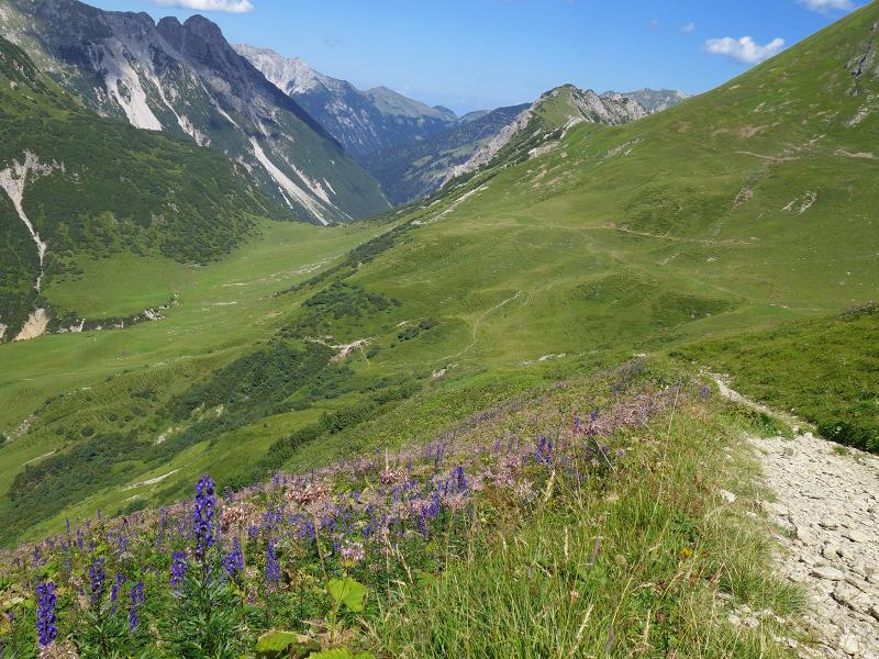
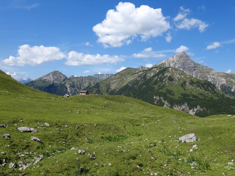
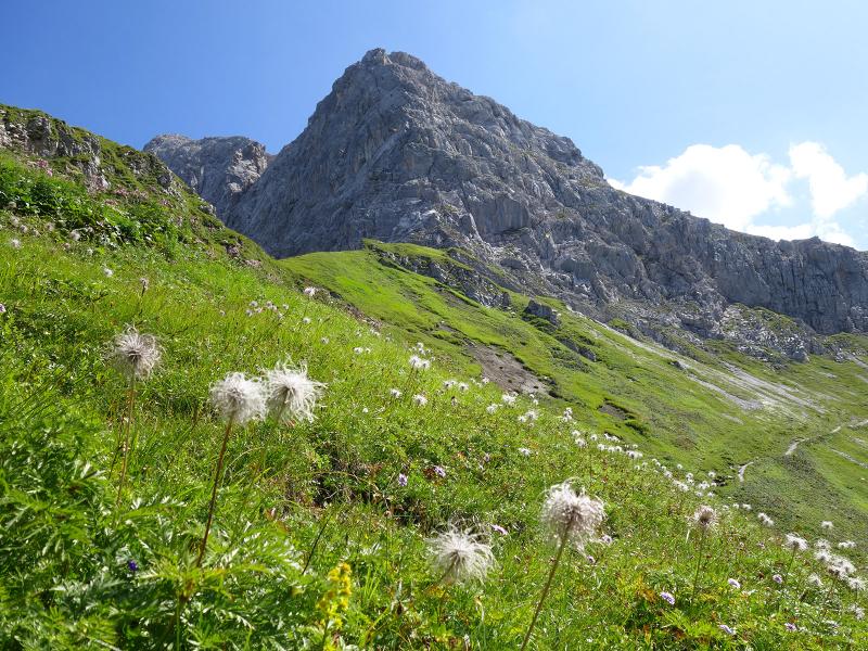
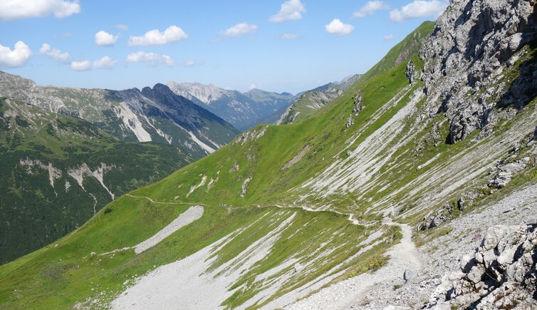
The Hahntennjoch Road crosses the Lechtal Alps and connects Imst with Bschlabs. The pass, which can also be reached by public bus, is the starting point of our hike. We follow the marked path towards the Anhalter Mountain Hut. Below the limestone mountain "Falscher Kogel" the path runs uphill to the Steinjöchl ridge. The 2,200 m high Steinjöchl is a transition between Mt. Falscher Kogel and the Maldongrat ridge and represents the highest point of this hike.
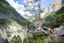
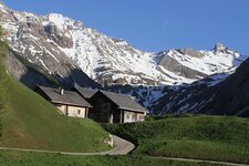
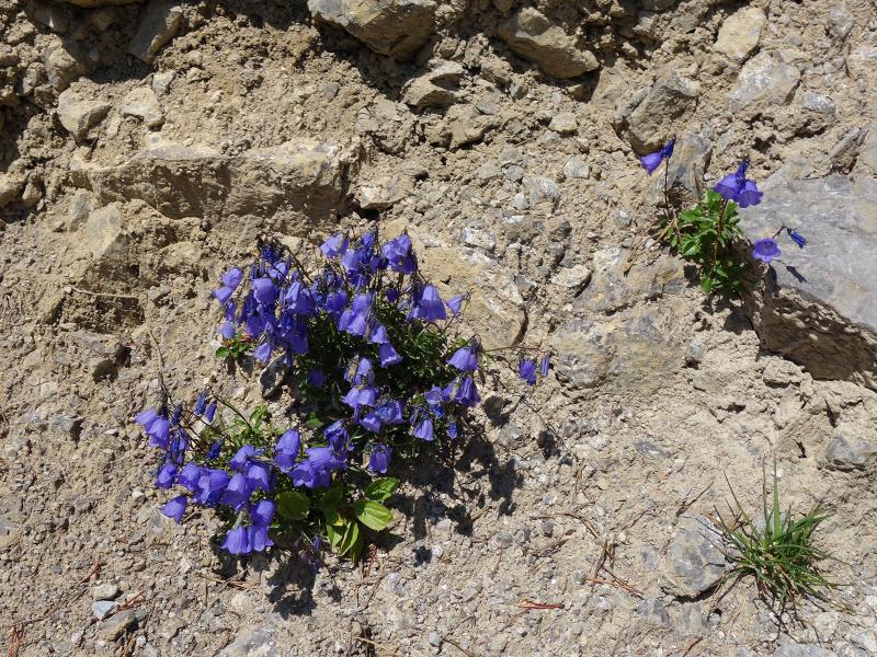
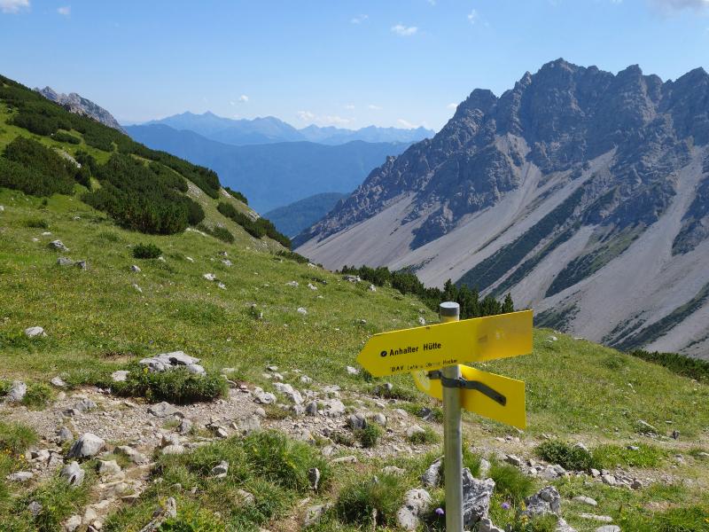
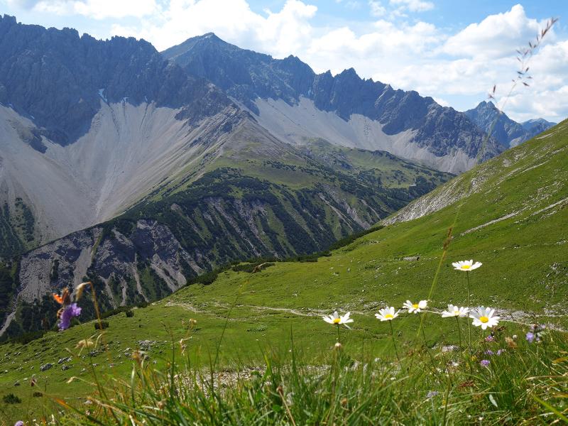
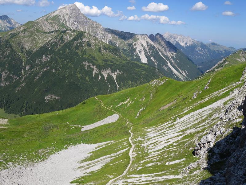
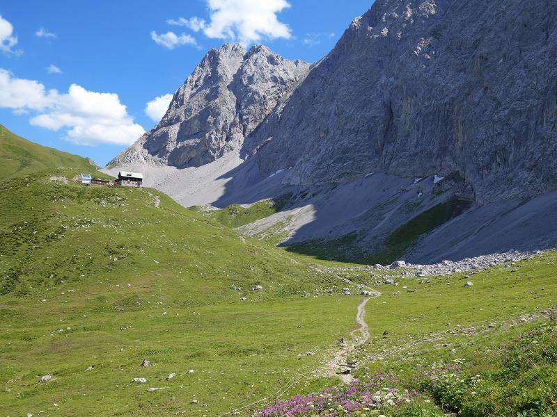
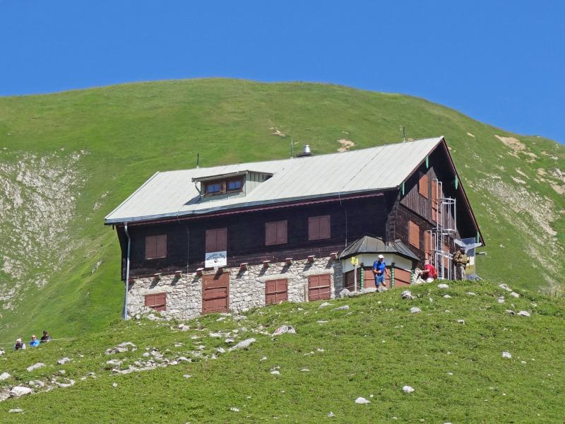
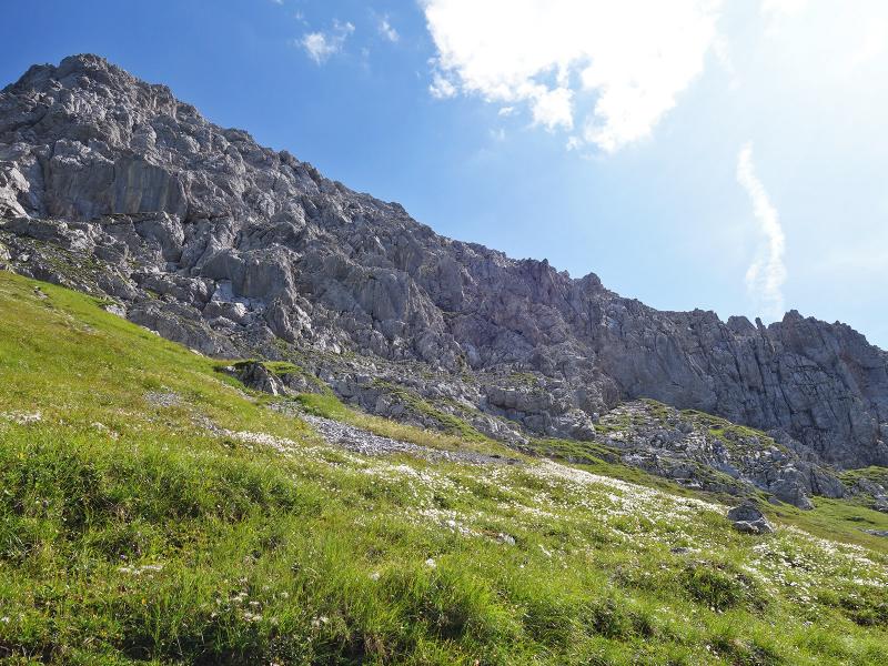
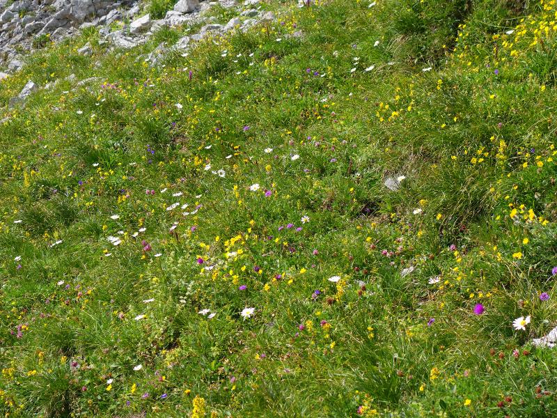
From here the path descends along the north side of the Maldon Ridge. This path leads past the Imster Ochsenalm mountain hut directly to the Anhalter Mountain Hut and Lake Kromsee. At our visit in summer 2019 the hut was closed due to rebuilding and change of management. The almost untouched natural landscape of the Lechtal Alps makes this hike a very beautiful experience.
Author: AT
-
- Starting point:
- Hahntennjoch ridge (parking space / bus stop)
-
- Overall time:
- 03:00 h
-
- Total route length:
- 8,6 km
-
- Altitude:
- from 1.882 m to 2.198 m
-
- Altitude difference:
- +576 m | -576 m
-
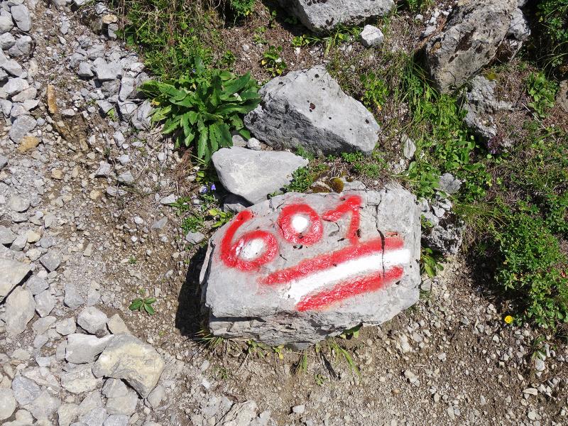
- Signposts:
- Anhalter Hütte, no. 601
-
- Destination:
- Anhalter Mountain Hut
-
- Resting points:
- Anhalter Mountain Hut
-
- Recommended time of year:
- Jan Feb Mar Apr May Jun Jul Aug Sep Oct Nov Dec
-
- Download GPX track:
- Hike to the Anhalter Hütte mountain hut
If you want to do this hike, we suggest you to check the weather and trail conditions in advance and on site before setting out.