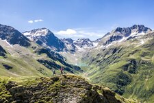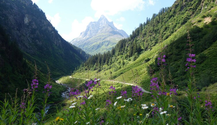
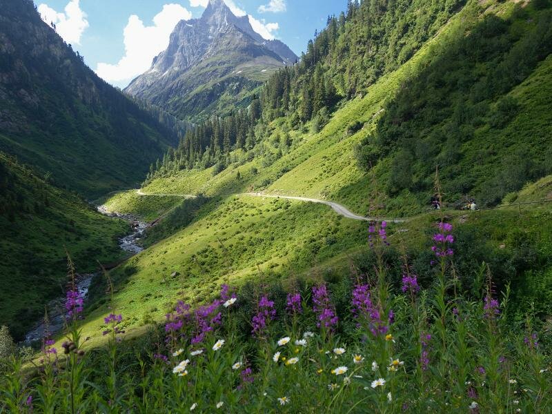
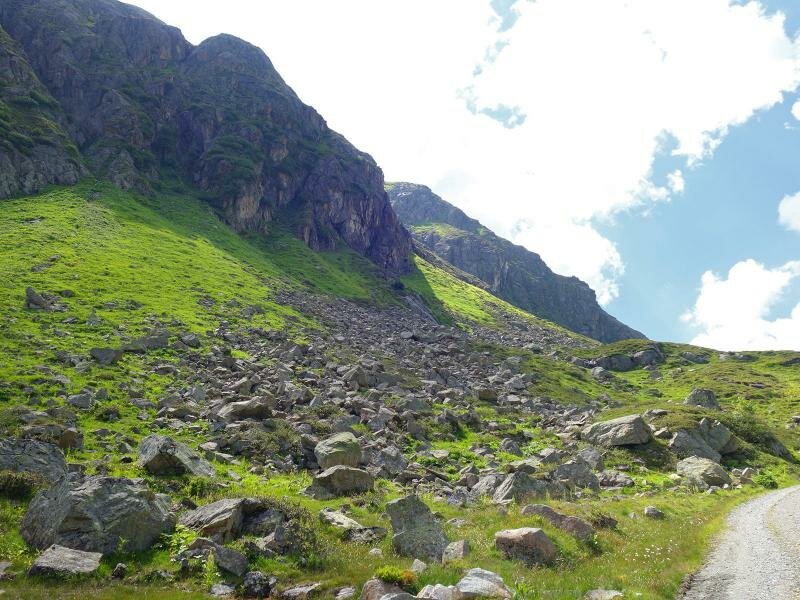
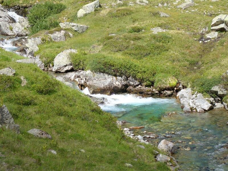
The Schönverwall Valley is located at the upper course of the Rosanna river between St. Anton am Arlberg and Galtür: The route leads through untouched landscapes in the Verwall Group
Image gallery: Hike through the Schönverwalltal valley
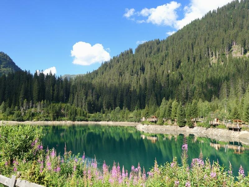
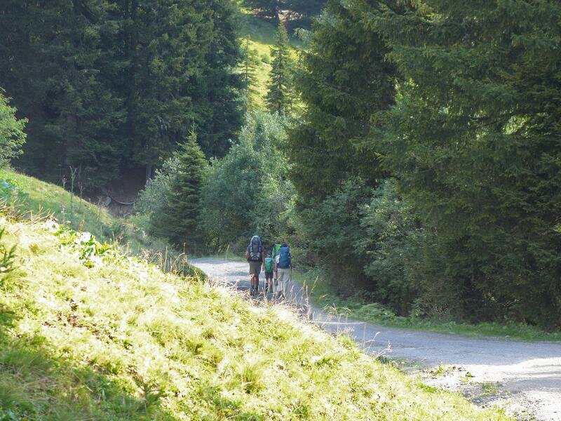
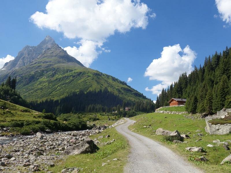
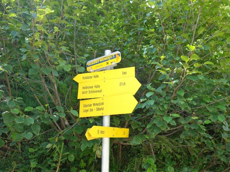
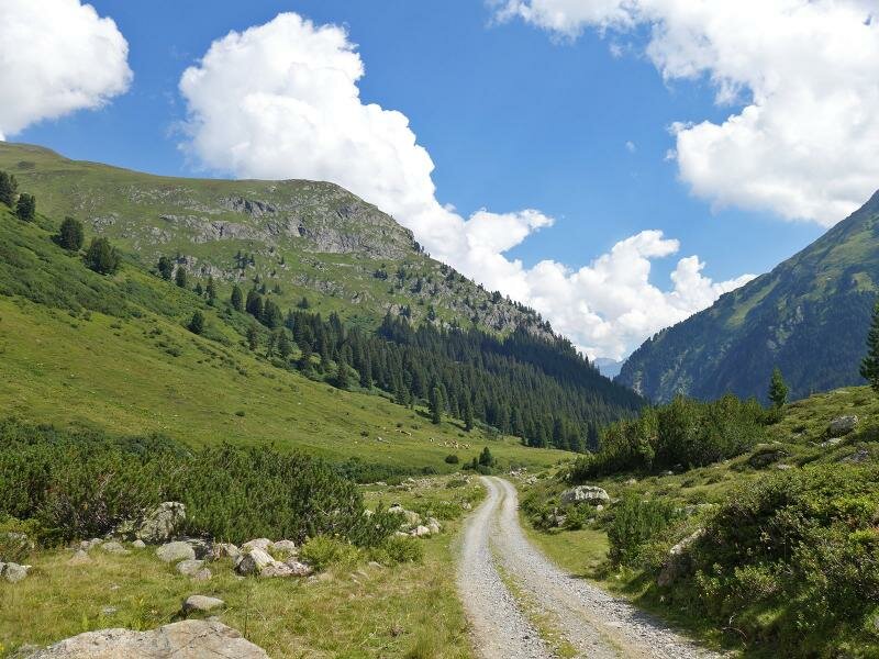
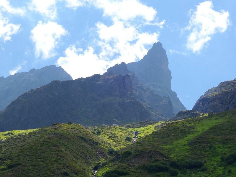
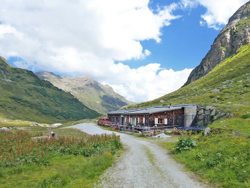
In order to get to the starting point of this extensive but easy hiking tour through the Verwall, we take the bus, which in the summer months runs from St. Anton am Arlberg through the Rosanna Gorge to the final stop Salzhütte (access is closed to private cars). Here, at 1,500 m a.s.l. the hike starts, which first leads to the Konstanz Mountain Hut (Konstanzer Hütte).
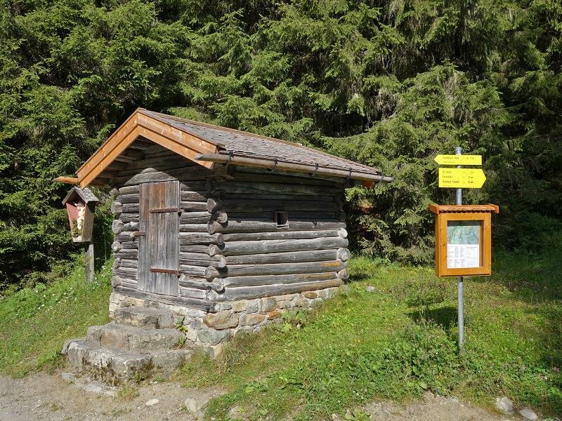
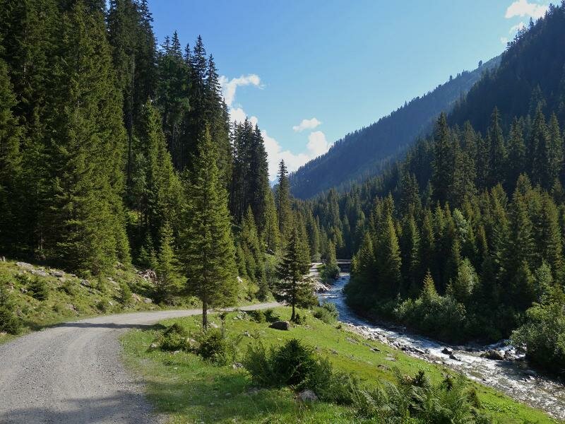
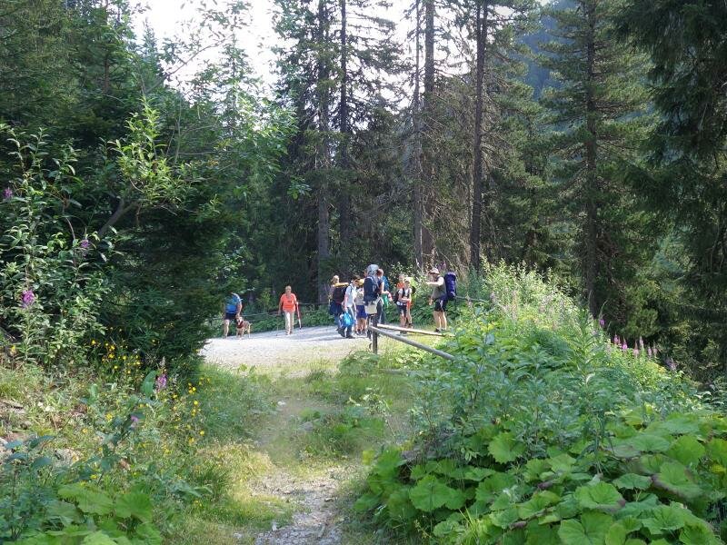
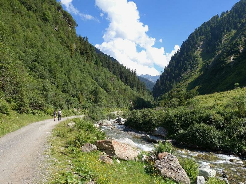
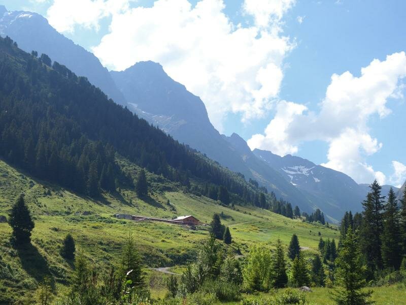
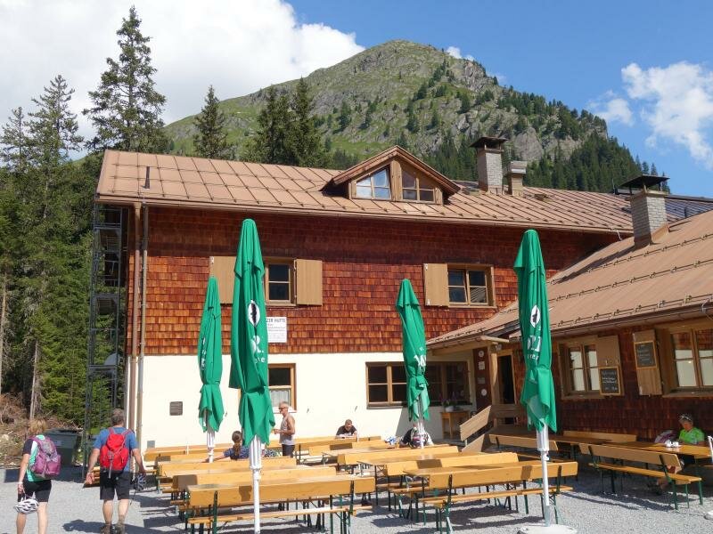
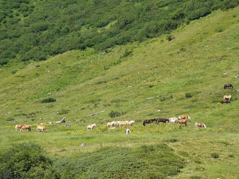
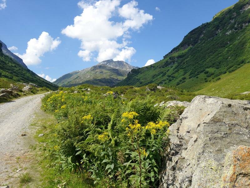
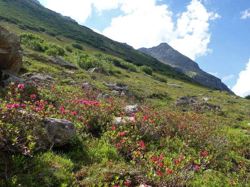
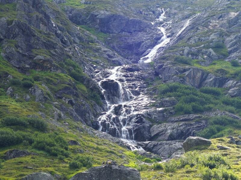
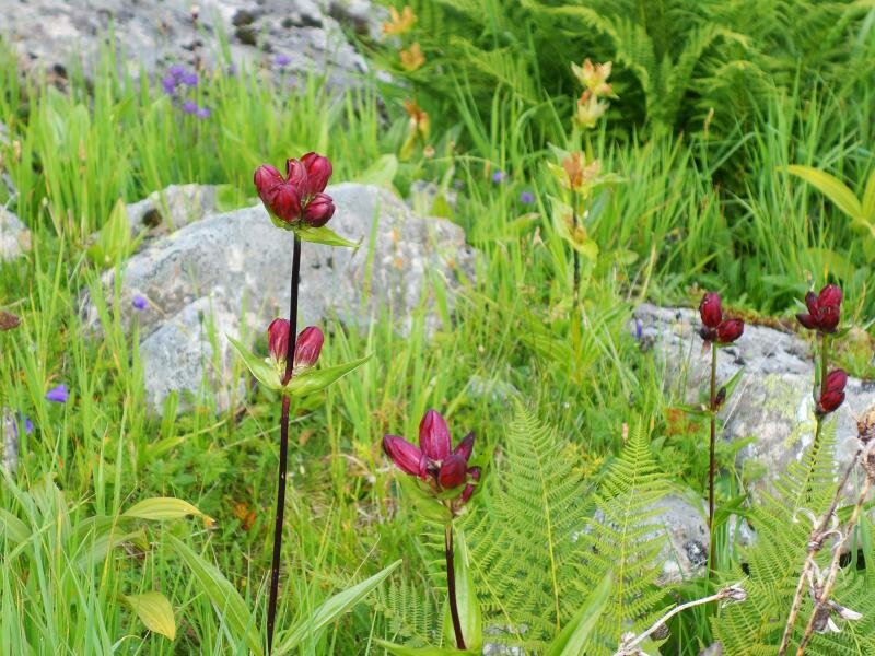
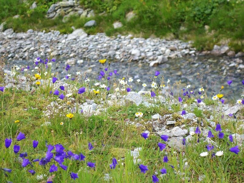
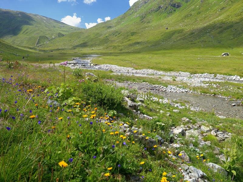
At the hut at 1,688 m a.s.l., the only rest point on the way, the Fasultal valley branches off to the left and the Schönverwalltal valley to the right. We follow the forest road leading towards the Heilbronn Mountain Hut for about 90 minutes until we reach the small Schönverwall Mountain Hut, which is situated in the middle of the valley, surrounded by high alpine meadows. The wide, blooming valley invites to stay. For our way back later we take the same route. With more than 9 km (in each direction), this is a very long, but thanks to the good trails easy hike. If the whole route is too long for you, we recommend to hike only up to the Verwall Alp at the Konstanz Mountain Hut - in this case, the time, kilometres and altitude information are halved.
Author: AT
-
- Starting point:
- Verwall Salzhütte (bus stop)
-
- Overall time:
- 05:30 h
-
- Total route length:
- 18,7 km
-
- Altitude:
- from 1.509 m to 2.009 m
-
- Altitude difference:
- +535 m | -535 m
-
- Signposts:
- Konstanzer Hütte, Heilbronner Hütte, no. 517
-
- Destination:
- Schönverwallboda
-
- Resting points:
- Konstanz Mountain Hut
-
- Recommended time of year:
- Jan Feb Mar Apr May Jun Jul Aug Sep Oct Nov Dec
-
- Download GPX track:
- Hike through the Schönverwalltal valley
If you want to do this hike, we suggest you to check the weather and trail conditions in advance and on site before setting out.