This short hike along the Drischlsteig near Hochimst shows us the natural beauty of the Lechtal Alps and includes a stop at the Muttekopf Mountain Hut
Image gallery: Hike to the Muttekopfhütte mountain hut
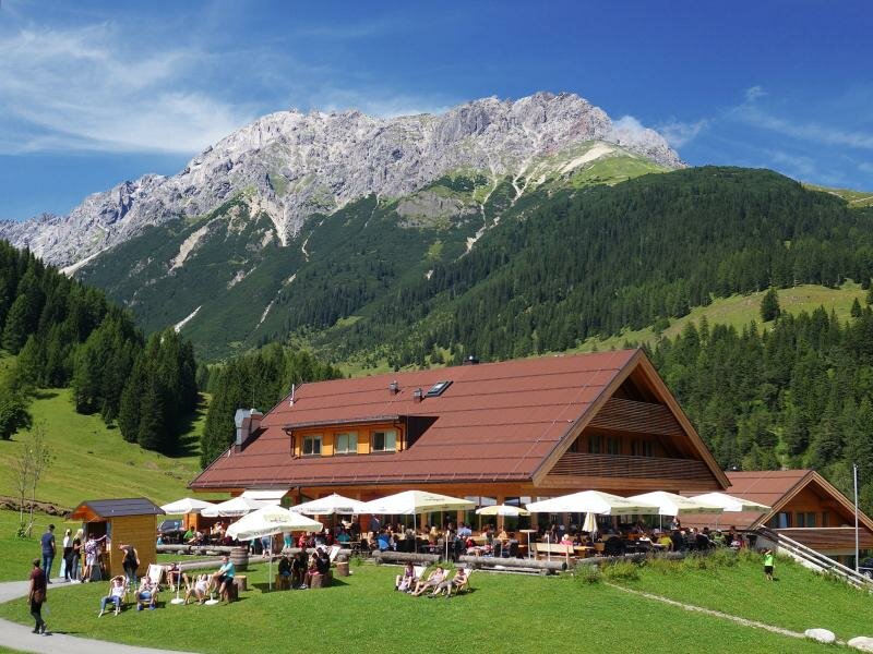
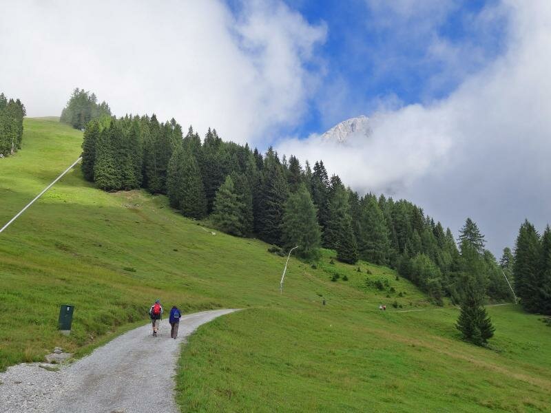
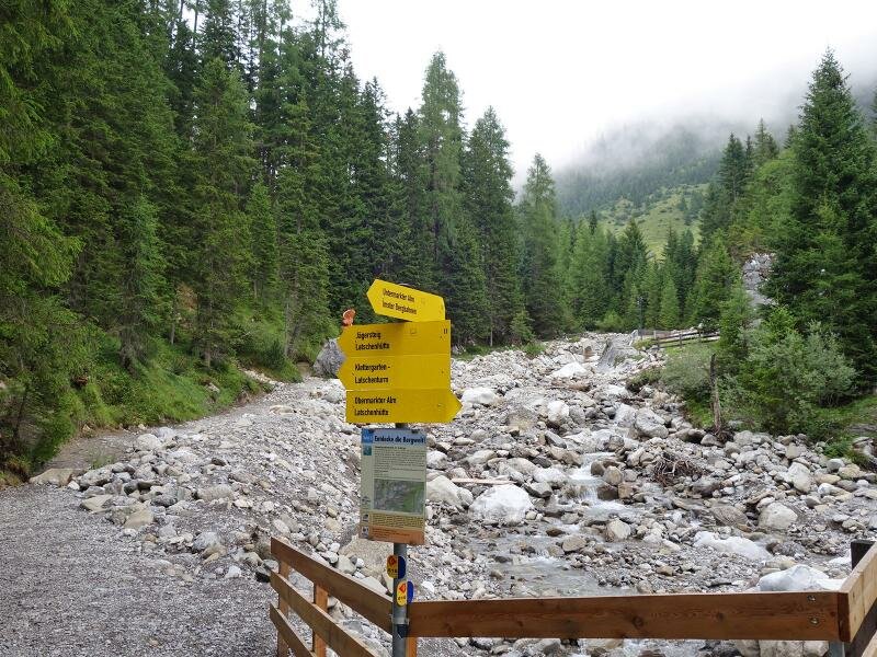
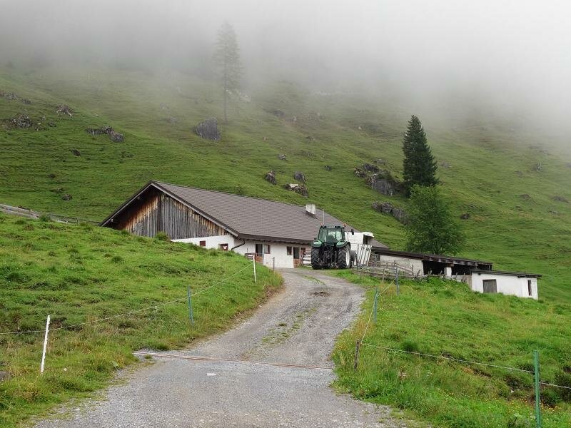
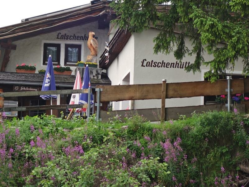
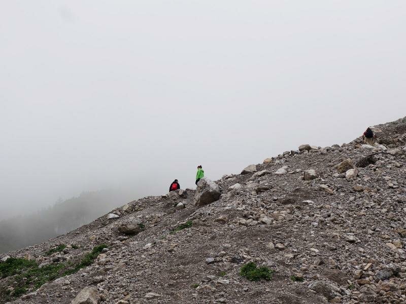
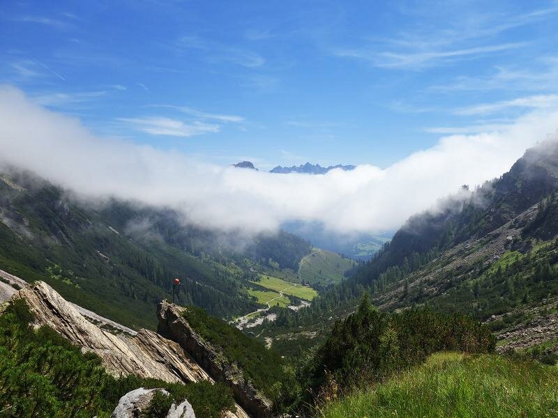
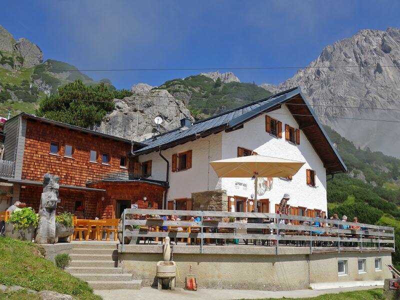
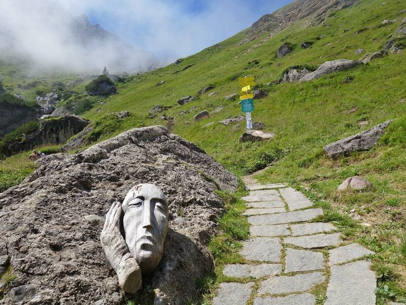
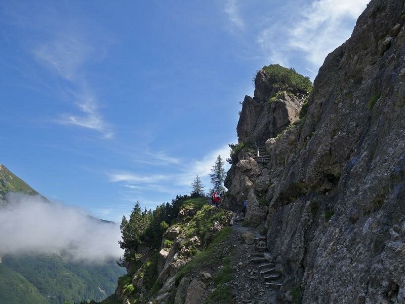
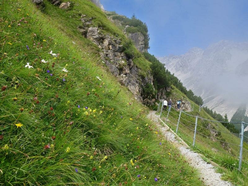
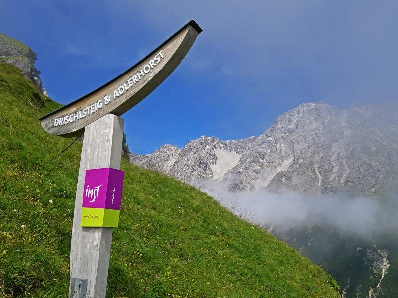
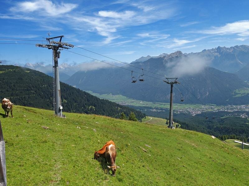
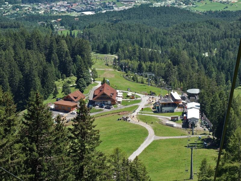
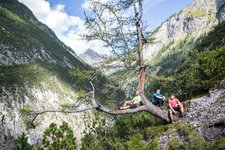
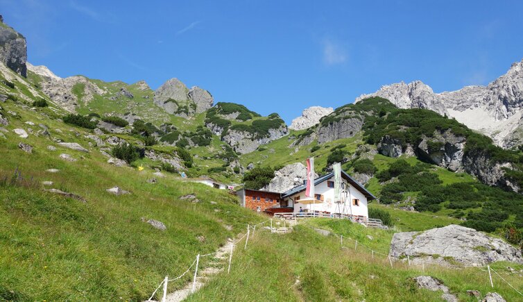
Surefootedness and a head for heights are required for this mountain tour along a steep slope. It'll be worth all the effort! The beautiful places amidst this unspoilt natural scenery offer wonderful panoramic views. The Untermarkter Alm Chairlift takes us from Hochimst to the intermediate station. After following the path no. 17 to the Latschenhütte Mountain Hut, the narrow trail no. 621 proceeds through the valley of the Malchbach stream to the Muttekopf Mountain Hut (Muttekopfhütte) at 1,934 m a.s.l. This is the entrance to the Drischl Path (Drischlsteig).
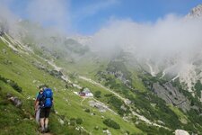
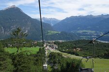
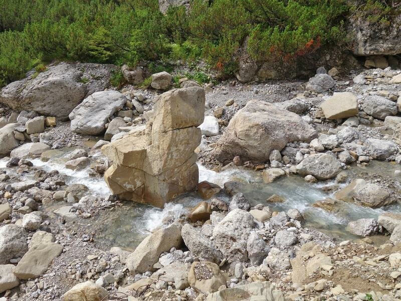
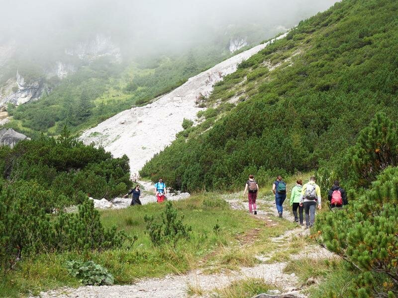
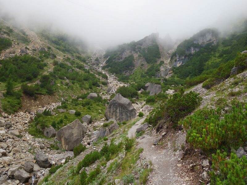
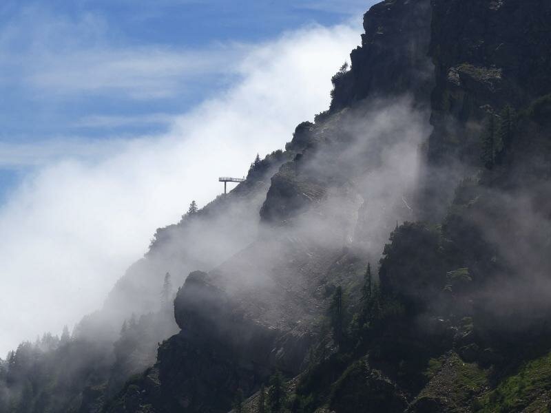
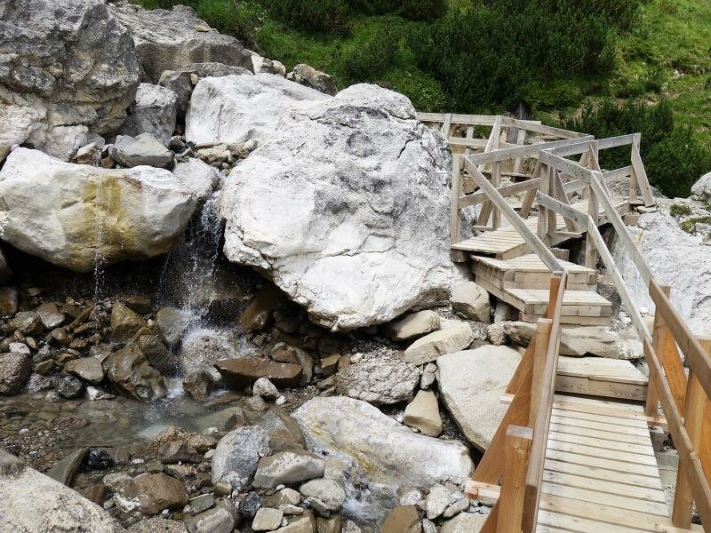
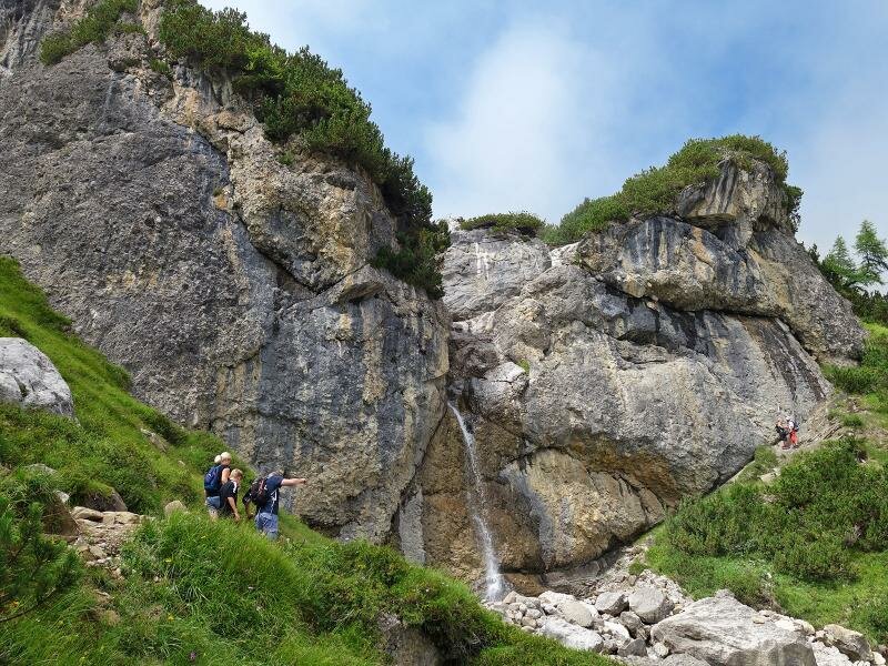
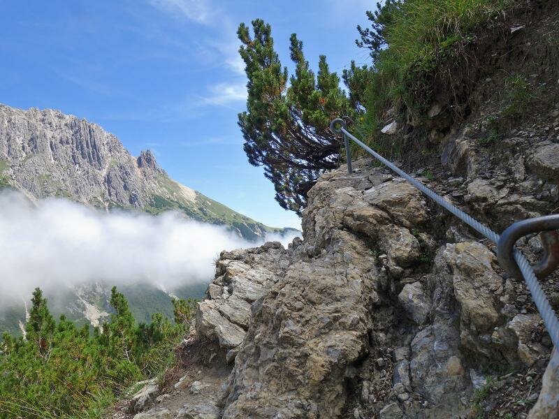
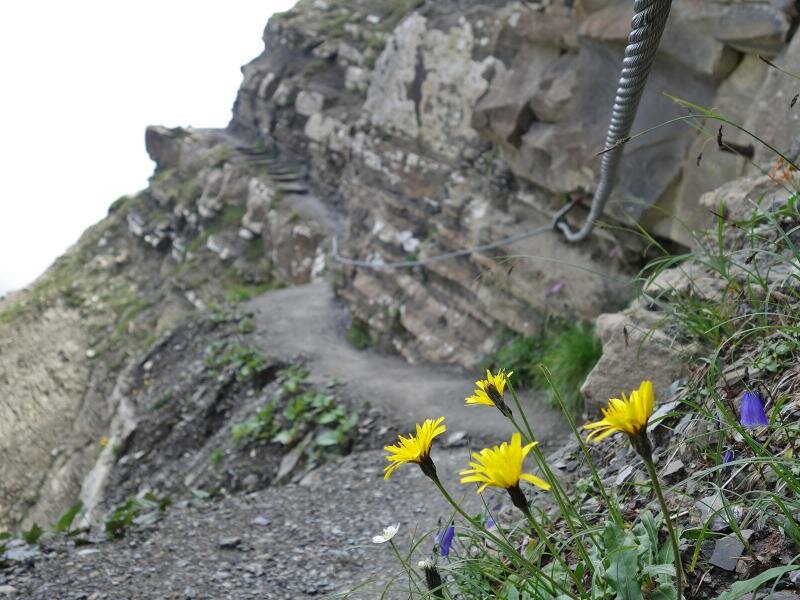
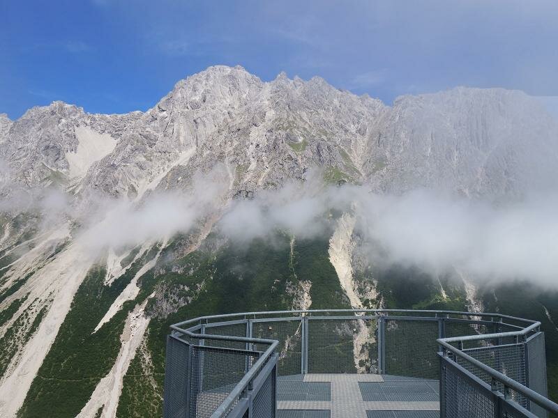
The surrounding landscape is characterised by weathered calcareous dolomite stone and pine forests. The Drischlsteig (no. 30) snakes its way below the rock faces of the Alpjoch saddle to the Adlerhorst viewing platform. On its way it passes a waterfall. The trail is partly secured by ropes and iron stairways, which help to overcome this section. At its end we reach the Drischl Mountain Hut below the Vorderes Alpjoch saddle and the mountain station of the Imster Bergbahnen. The two sections of the cable car take us down into the valley. As an alternative, you can continue the hike and follow the Almwiesenweg path in order to reach the valley station by foot.
Author: AT
-
- Starting point:
- Hochimst, Untermarkter Mountain Hut (intermediate station)
-
- Overall time:
- 02:00 h
-
- Total route length:
- 4,8 km
-
- Altitude:
- from 1.474 m to 2.009 m
-
- Altitude difference:
- +571 m | -35 m
-
- Route:
- Latschenhütte Mountain Hut - Muttekopf Mountain Hut - Drischl Path - Vorderes Alpjoch (mountain station)
-
- Signposts:
- no. 17, 621, 30 (Drischlsteig)
-
- Destination:
- Mountain station Alpjochbahn
-
- Resting points:
- Latschenhütte, Muttekopfhütte
-
- Recommended time of year:
- Jan Feb Mar Apr May Jun Jul Aug Sep Oct Nov Dec
-
- Download GPX track:
- Hike to the Muttekopfhütte mountain hut
If you want to do this hike, we suggest you to check the weather and trail conditions in advance and on site before setting out.