Easy walking tour through the woods above the Val Pusteria and Lesachtal valleys in the Gailtail Alps
Image gallery: Circular walk to the Dorfberg hill
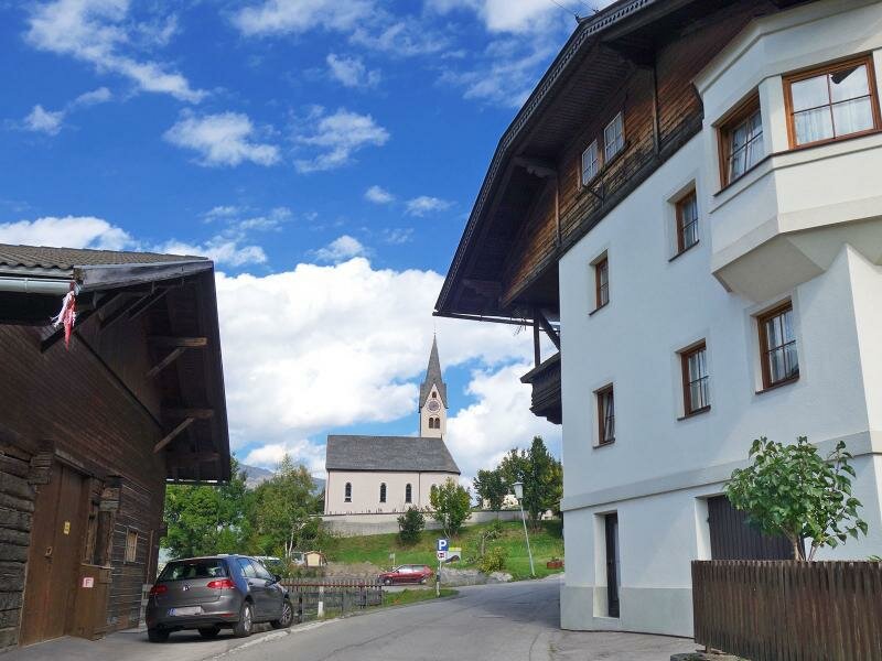
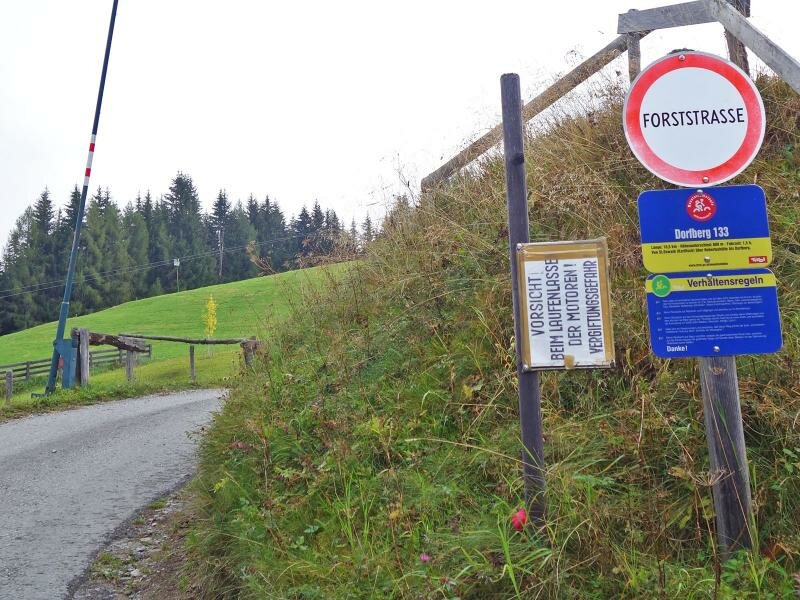
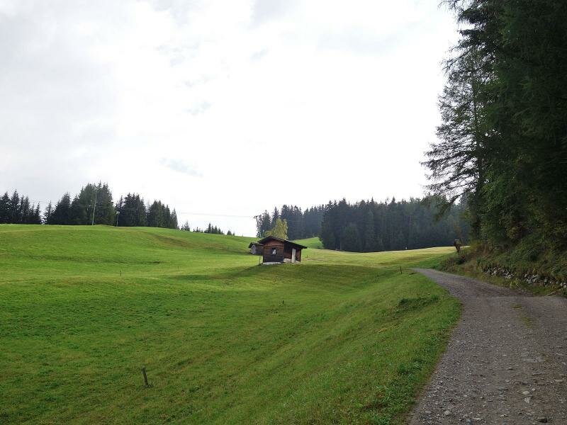
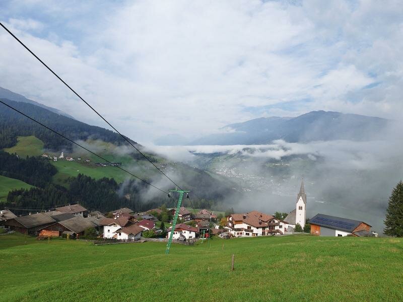
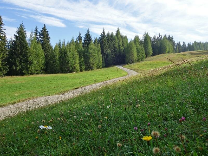
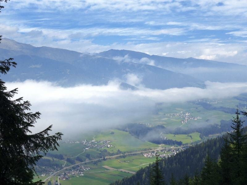
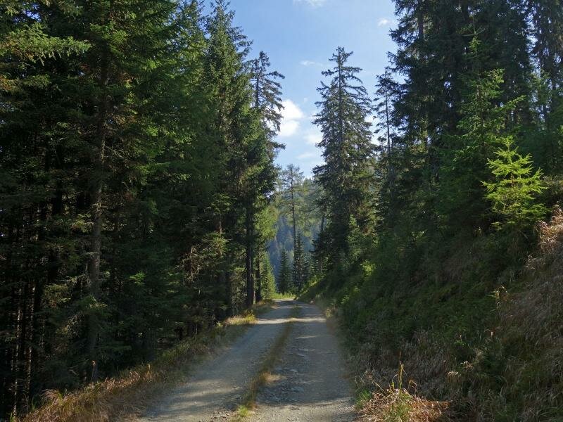
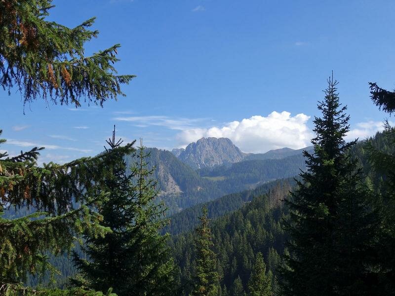
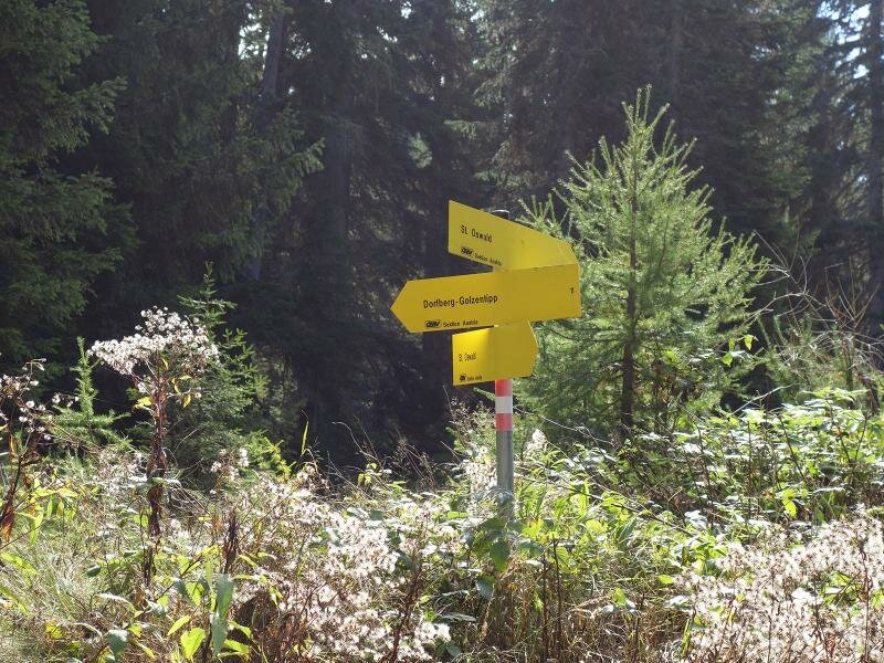
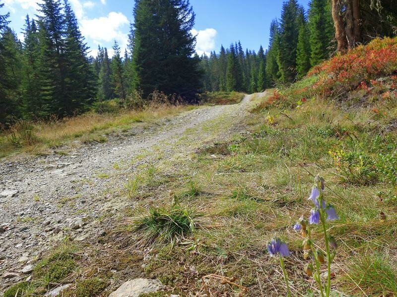
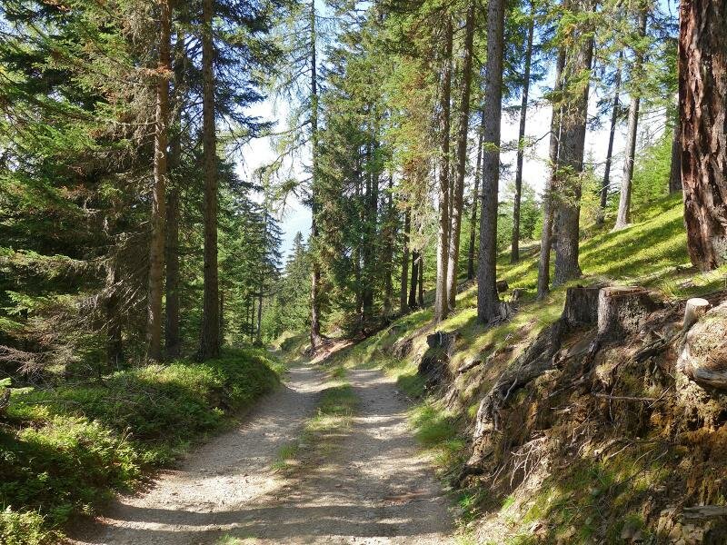
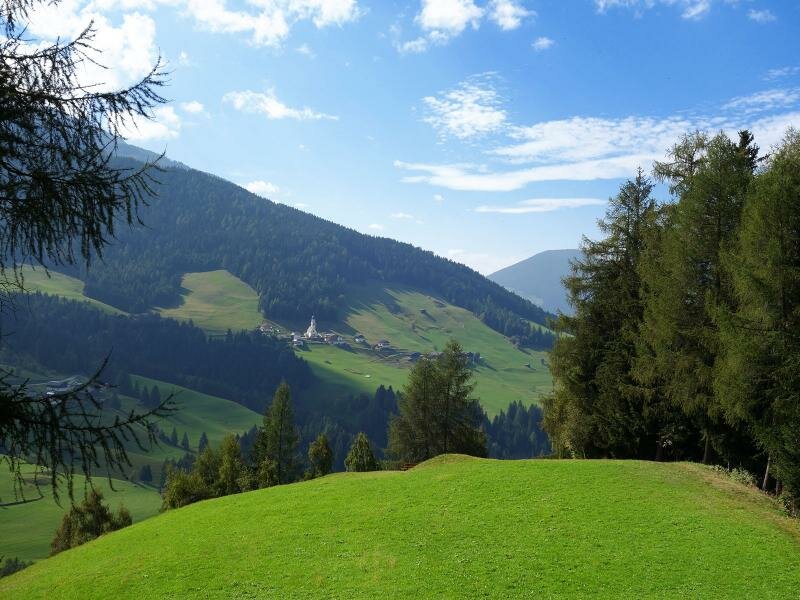
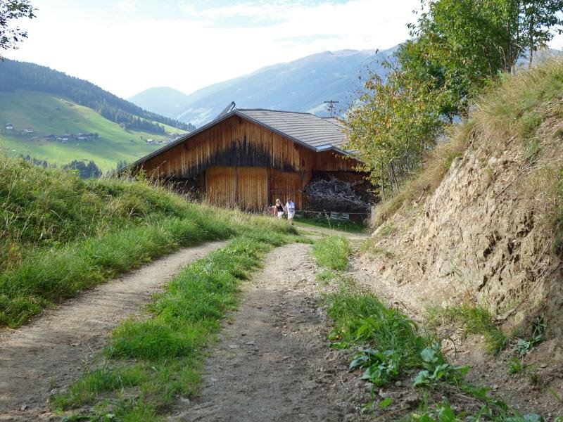
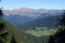
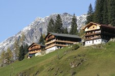
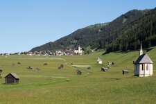
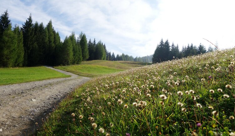
This walking tour starts and ends in the mountain village of St. Oswald near Kartitsch. Starting at the parking space near the church we follow first the path no. 133 (signposted as MTB route). The path, partly marked also as no. 11, is a forest road that leads across meadows to the forest on the northern edge of the hill (Dorfberg). The path ascends, behind us the view opens on the Upper Val Pusteria valley near Sillian, which today is a little covered by fog. The path proceeds slightly ascending towards east. In some places the forest opens up and we enjoy the view on the Val Pusteria valley near Anras and Strassen.
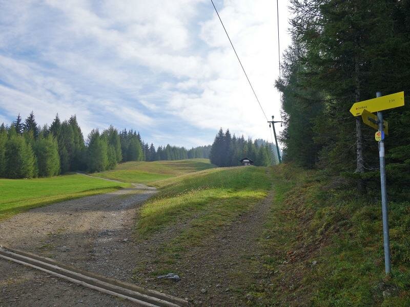
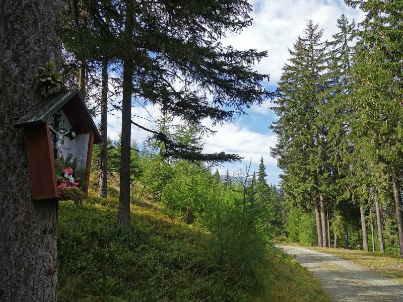
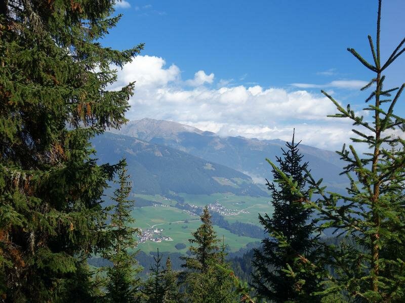
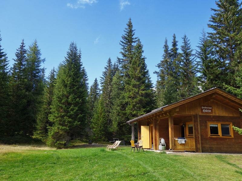
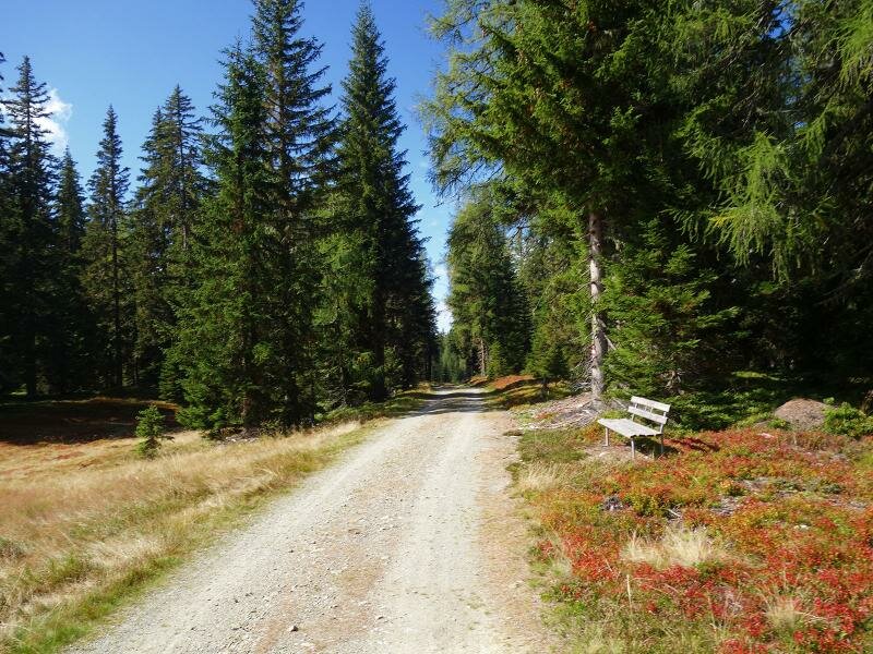
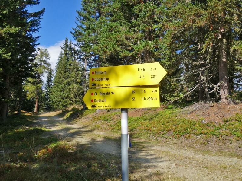
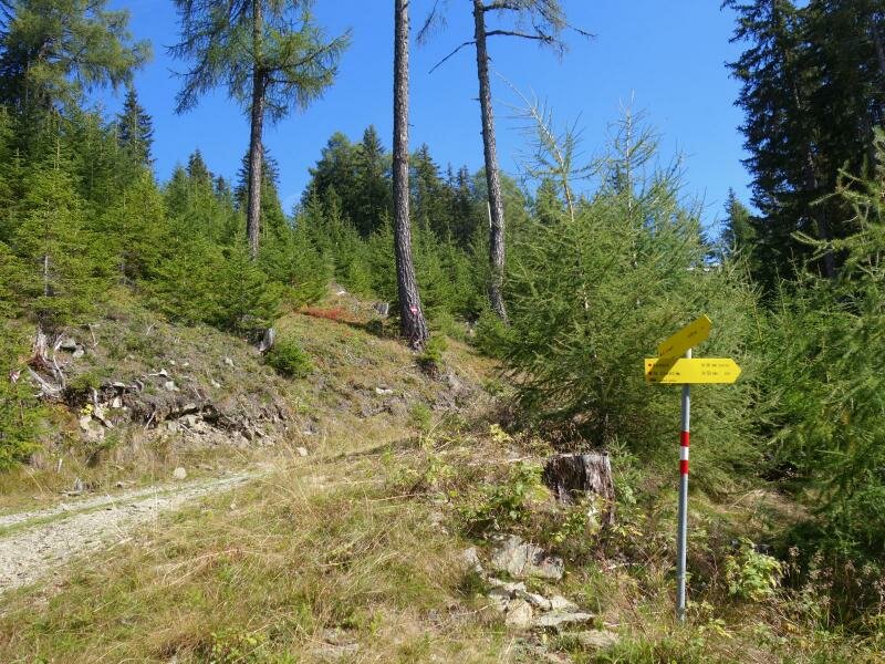
At a height of approx. 1,900 m a.s.l. the MTB route branches off to the right ("St. Oswald") and at the Hubertushütte (private hunting lodge) the forest path leads into the hiking route no. 229. Now a flat and then slightly descending section on the southern side of the Dorfberg follows back towards St. Oswald. Further down the view opens on the Gailtal and Lesachtal valleys near Kartitsch with the hamlet of Hollbruck and behind the Carnic Ridge. This walking tour through the woods on the Dorfberg hill is not particularly difficult. However, there are only rest points at the starting and end point in St. Oswald - so those who plan this tour in the middle of the day should not forget to pack provisions in the backpacks.
Author: AT
-
- Starting point:
- St. Oswald near Kartitsch, parking space in the village centre
-
- Overall time:
- 03:30 h
-
- Total route length:
- 10,5 km
-
- Altitude:
- from 1.366 m to 1.914 m
-
- Altitude difference:
- +551 m | -551 m
-
- Route:
- St. Oswald - Forstweg Dorfberg - Hubertushütte - St. Oswald
-
- Signposts:
- no. 133 (MTB), no. 11, no. 229, Gailtaler Höhenweg
-
- Recommended time of year:
- Jan Feb Mar Apr May Jun Jul Aug Sep Oct Nov Dec
-
- Download GPX track:
- Circular walk to the Dorfberg hill
If you want to do this hike, we suggest you to check the weather and trail conditions in advance and on site before setting out.