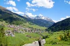
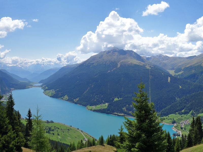
An easy mountain hike at the border triangle leads us to the remains of a special defence work from the interwar period and to a viewpoint on Lake Resia
Image gallery: Hike to the Plamort Tank Barrier
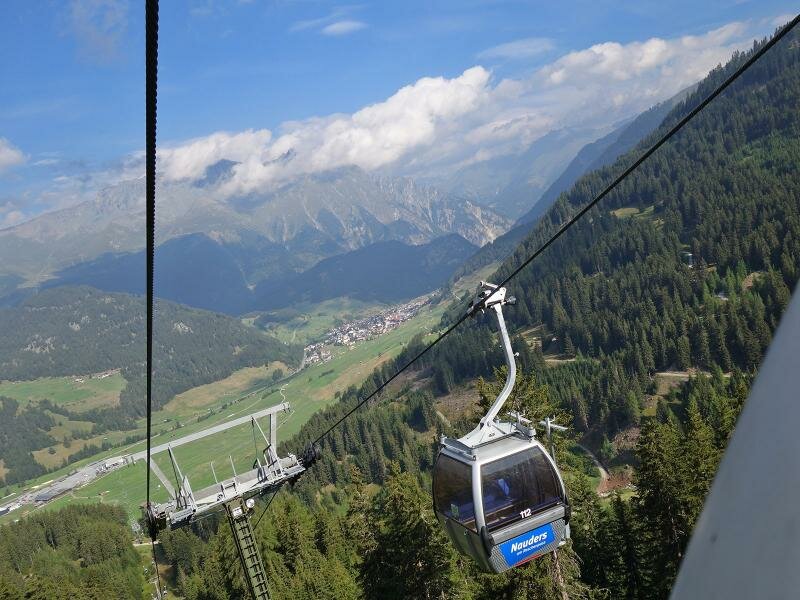
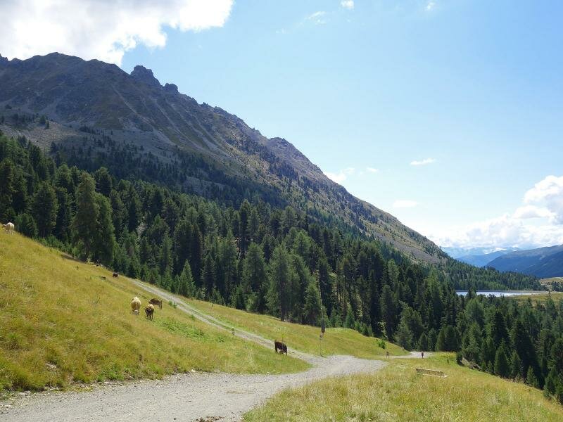

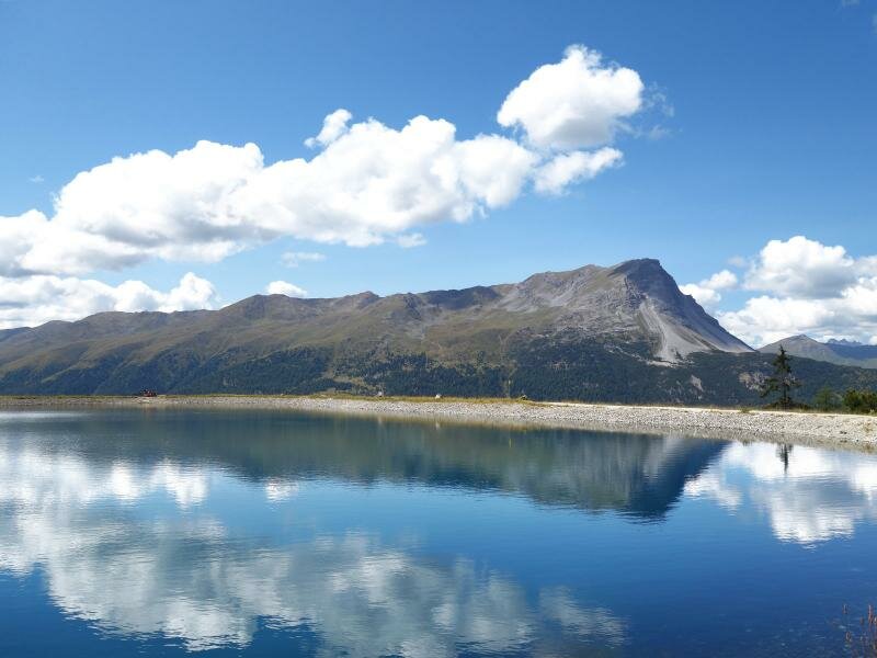
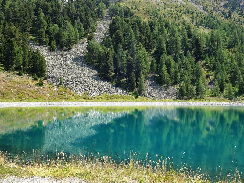
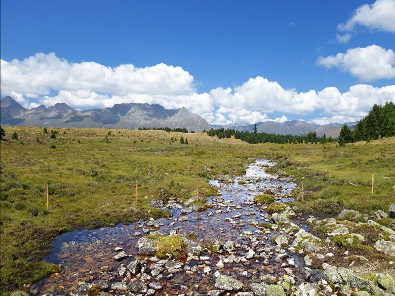
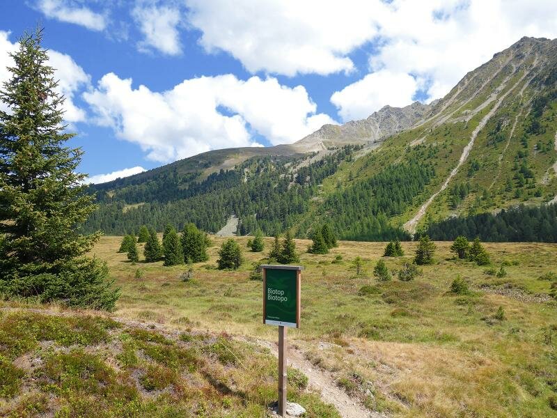
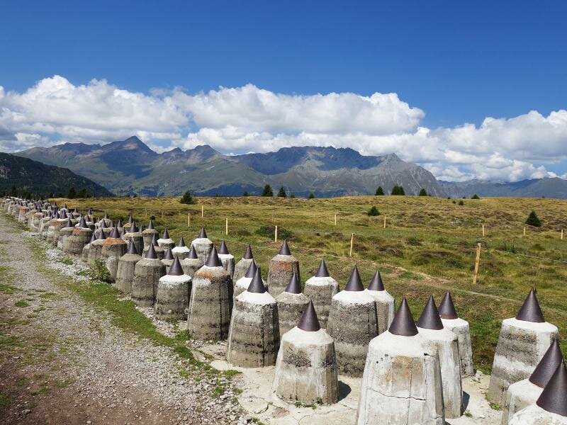
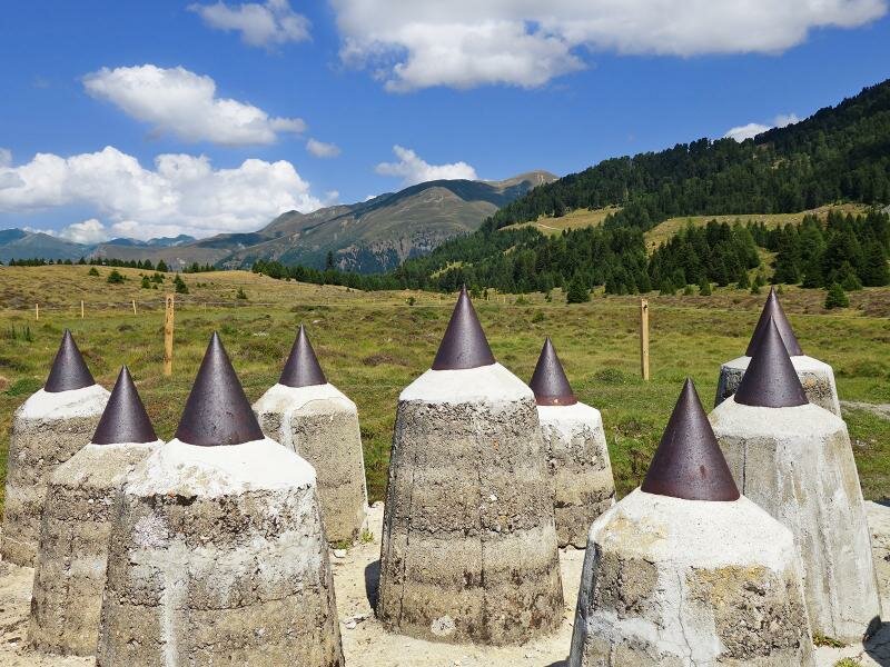
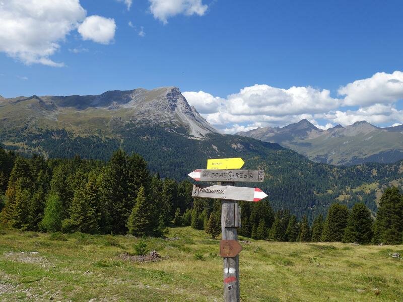
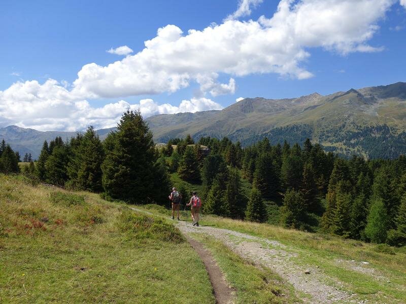
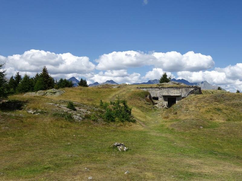
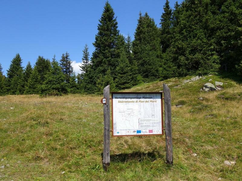
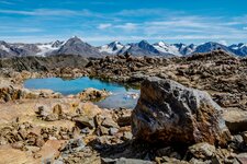
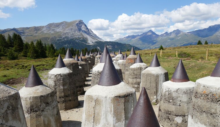
A special relic of bygone times is the Vallo Alpino, a system of defence works at the Austrian-Italian border. In addition to countless bunker, the Plamort Tank Barrier, which is located directly above the Passo Resia mountain pass at more than 2,000 m a.s.l., is also part of this system. Our easy hike leads us from the mountain station of the Nauders Bergkastelbahn cable car via a reservoir to the complex at the hill moor of Plamort and further on to a beautiful viewpoint on Lake Resia.
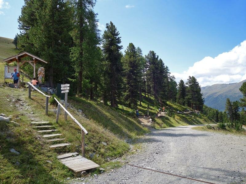
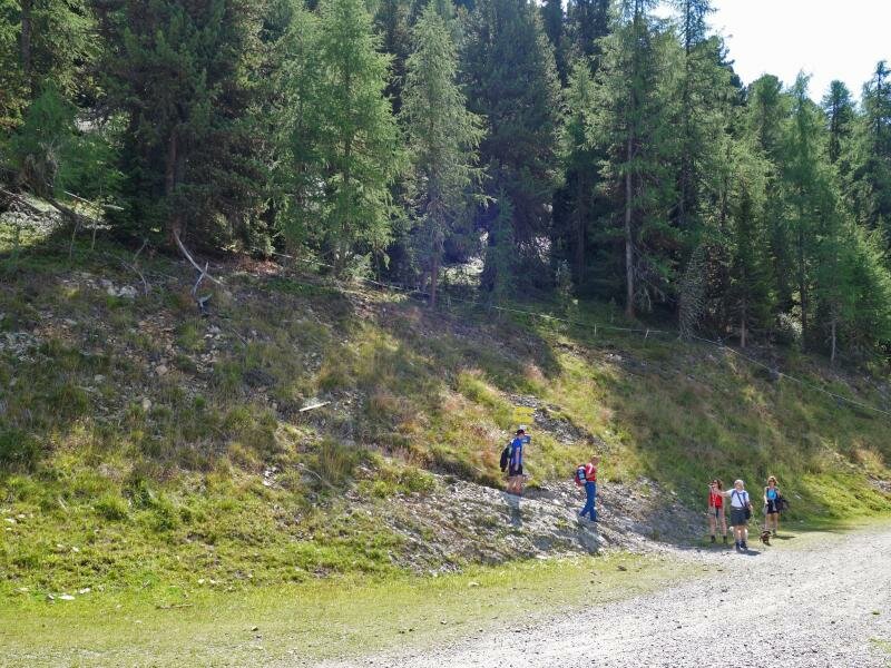
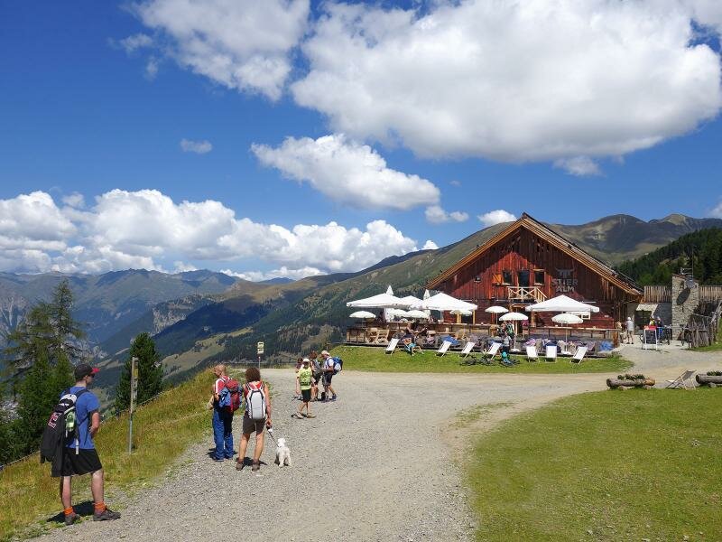
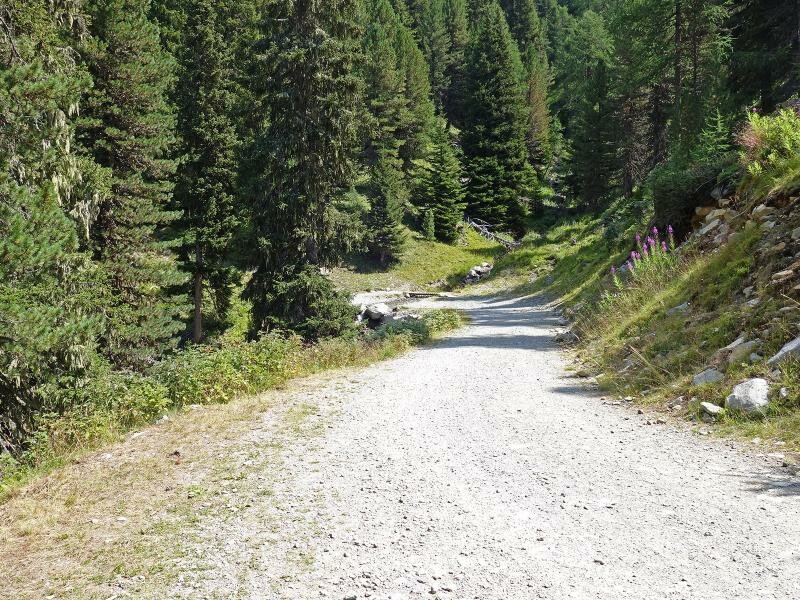
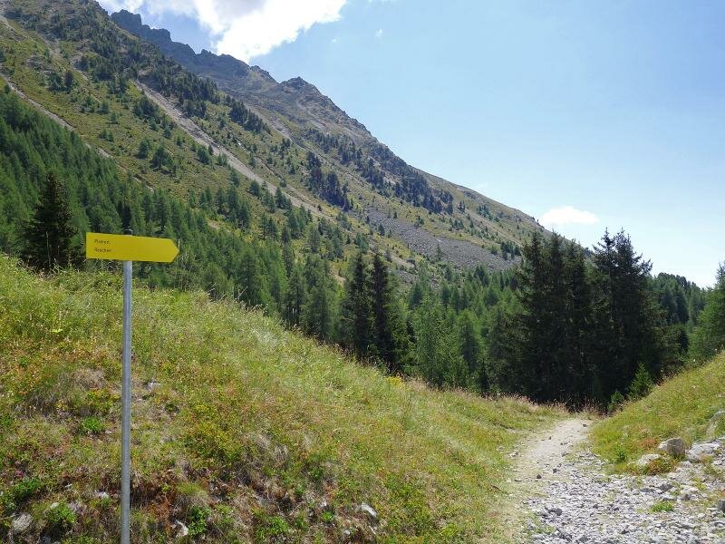
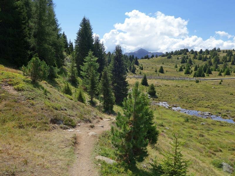
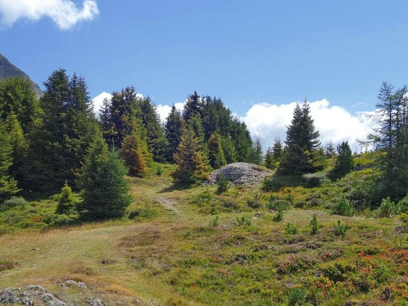
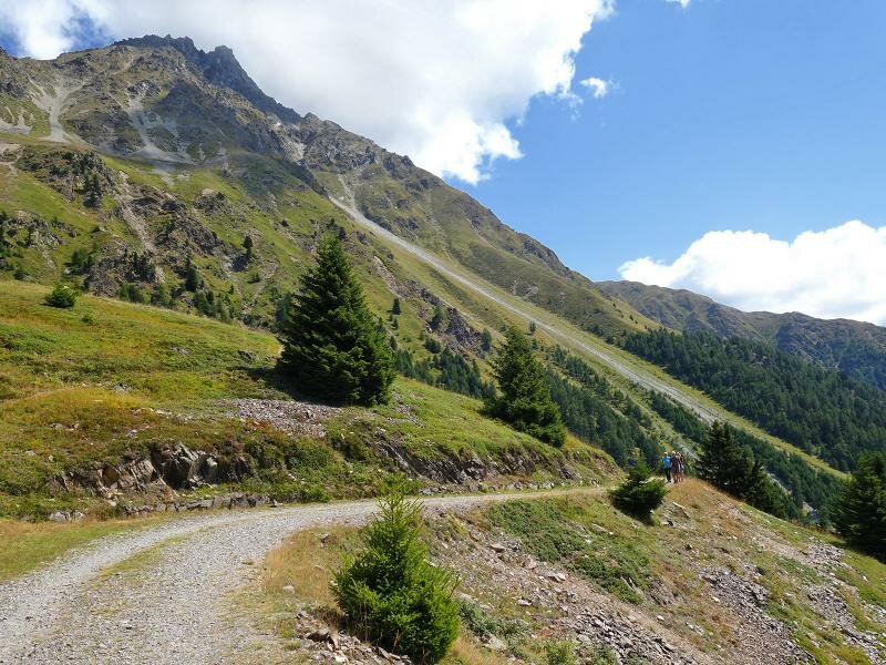
At the mountain station - there is also a restaurant - we take the path no. 33 towards south. The first stage ends already after 20 minutes at the Stieralm tavern. From there we continue towards the Plamort Reservoir and on through the meadows to the Plamorter Möser biotope which is already on South Tyrolean terrain. Here we find the concrete piles with the attached metal tips which form the tank barrier. The barrier was built in 1938, fell into disrepair in the 1960s and was restored and listed only after the turn of the millennium. The path proceeds further on past old bunker to a beautiful viewpoint on Lake Resia. For our way back we take the same route.
Author: AT
-
- Starting point:
- Bergkastel mountain station (Nauders)
-
- Overall time:
- 03:00 h
-
- Total route length:
- 8,2 km
-
- Altitude:
- from 2.013 m to 2.176 m
-
- Altitude difference:
- +248 m | -248 m
-
- Signposts:
- no. 33, Plamort, Reschenseeblick viewpoint
-
- Destination:
- Viewpoint Reschenseeblick
-
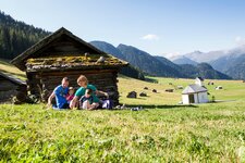
- Resting points:
- Bergkastel panorama restaurant (mountain station), Stieralm tavern
-
- Recommended time of year:
- Jan Feb Mar Apr May Jun Jul Aug Sep Oct Nov Dec
-
- Download GPX track:
- Hike to the Plamort Tank Barrier
If you want to do this hike, we suggest you to check the weather and trail conditions in advance and on site before setting out.