Short but steep hiking tour in the back Pitztal valley to the Braunschweig Mountain Hut with stunning views on the glaciers of the Ötztal Alps
Image gallery: Hike to the Braunschweiger Hütte hut
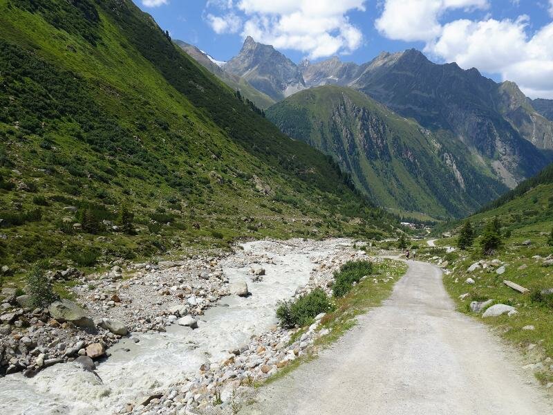
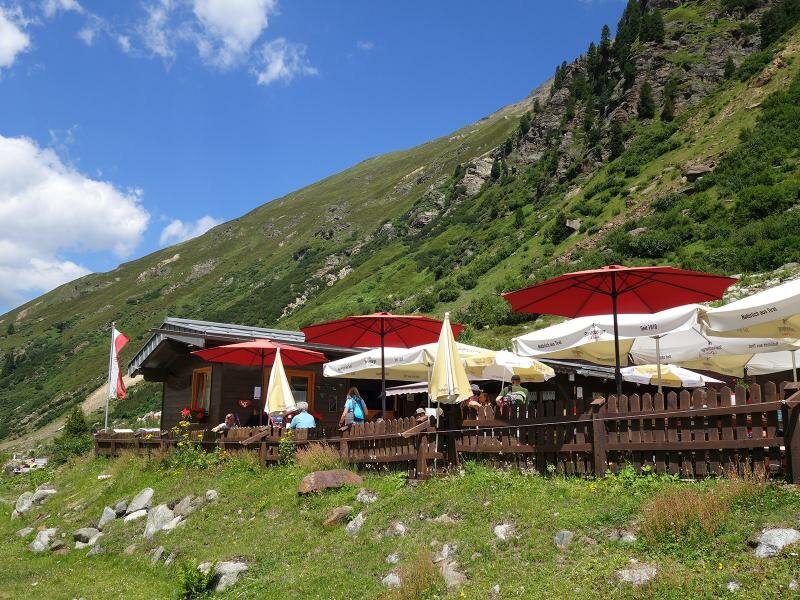
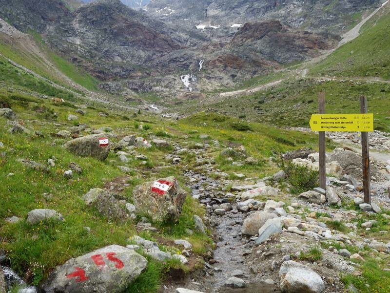
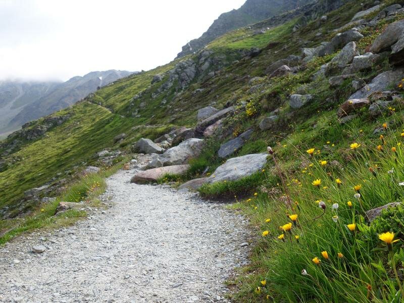

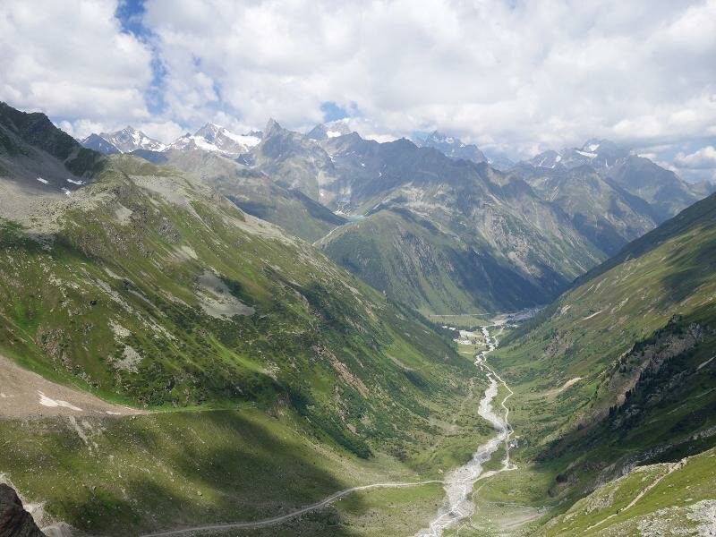
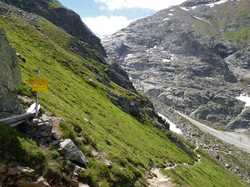
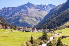
Pretty steep! This is the short summary of this hike in the mountains of the back Pitztal valley. Our tour starts quite harmlessly at the parking space right after the last bus stop in the Pitztal valley near Mittelberg, where the side valley called Gries branches off. We follow the gravel path (no. 918 and E5) to the Gletscherstube Mountain Hut (1,900 m a.s.l.) which we reach after about 30 minutes. According to the map, one could think to have already managed almost half of the tour in terms of route length. But the more beautiful but also much more strenuous part of the 5 km long track is still ahead of us and will cost us about 2 hours.
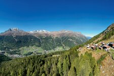
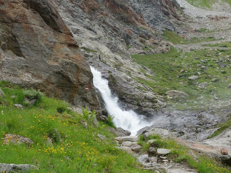
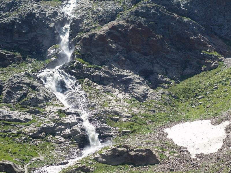
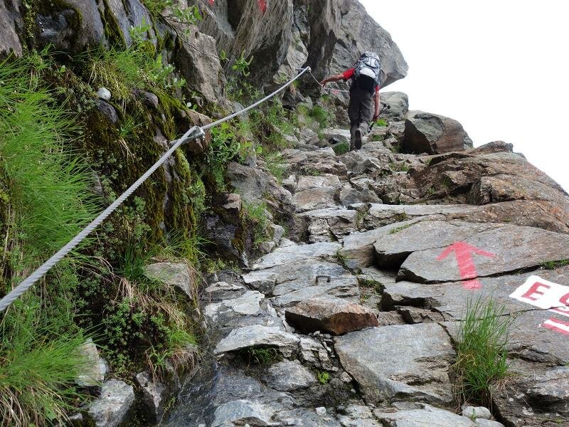
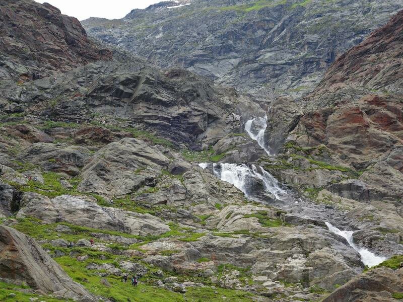
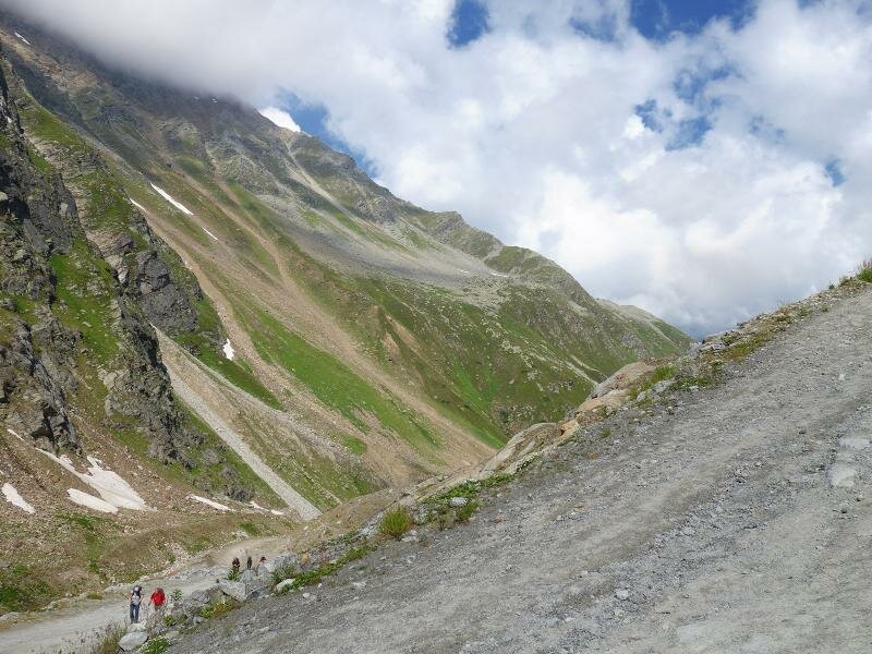
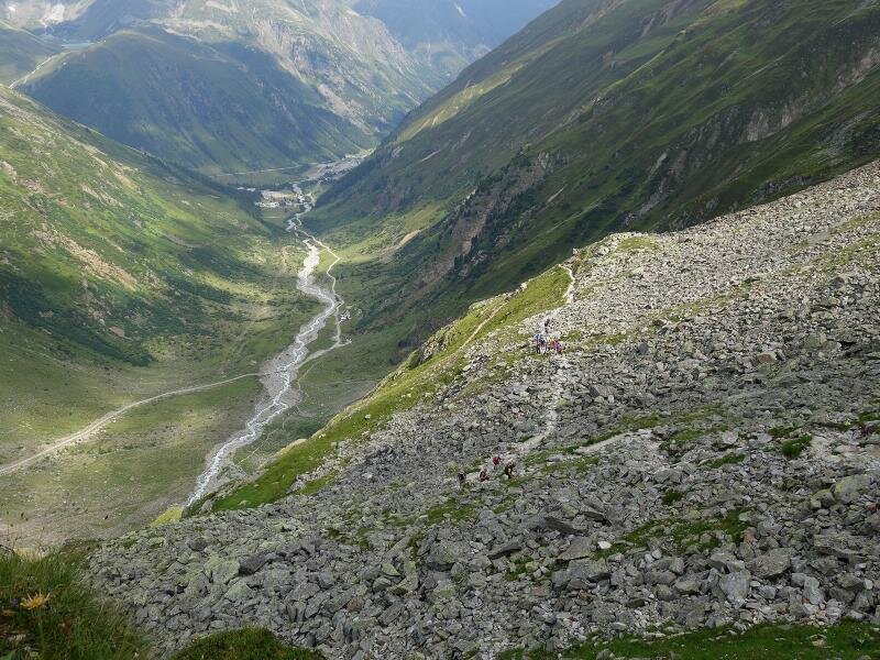
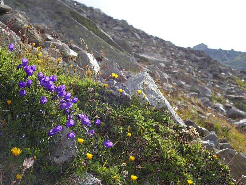
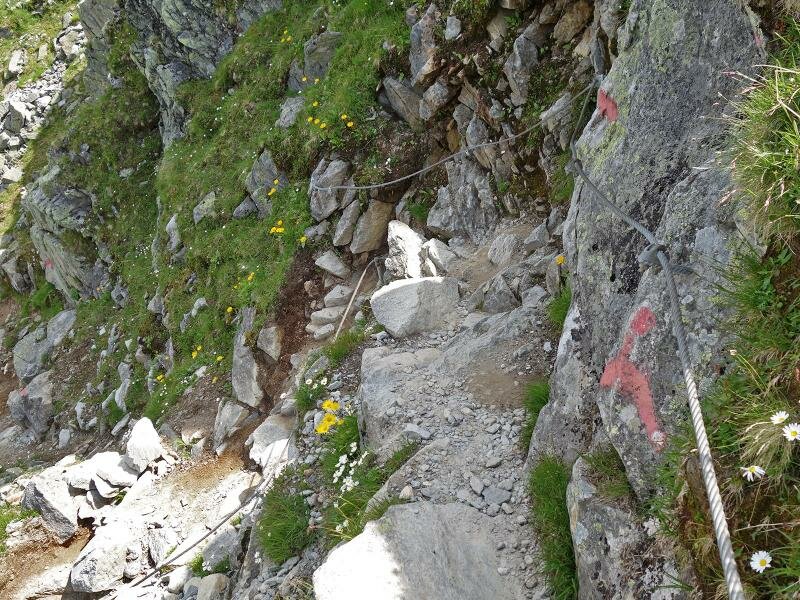
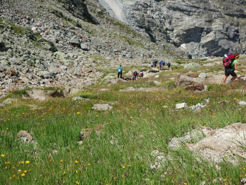
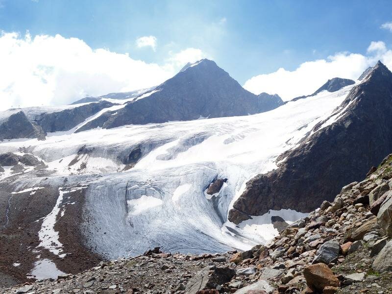
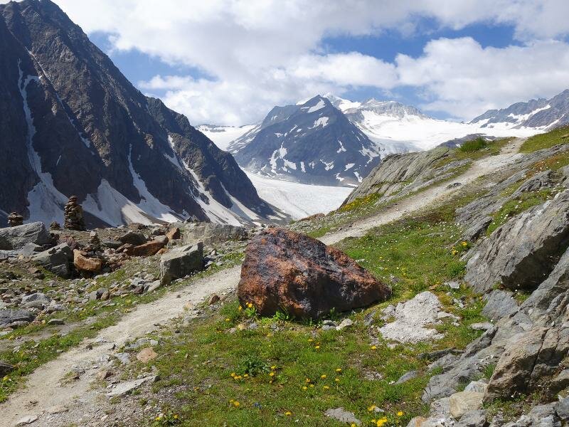
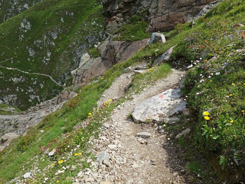
We follow the trail to the Pitze Waterfall. Here the fist ascent through the rocky terrain starts. The roaring waterfall and the crisp ascent (difficult sections are secured with steel ropes) make us feel that we are in the high mountains. Above the waterfall, at about 2,200 m a.s.l., the trail leads into a driveway which we follow for two curves until a trail branches off to the left. Approx. 500 m in altitude still have to be mastered until our destination. And these are tough, with passages across stone heaps and rocks (secured). After a while the view on the Mittelberg Glacier opens up, in the background we can see the Wildspitze mountain.
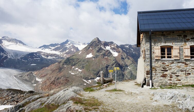
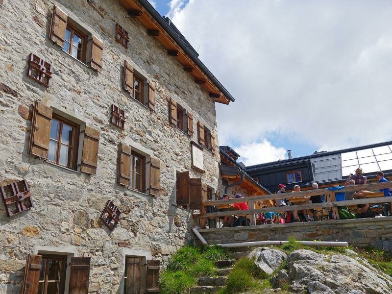
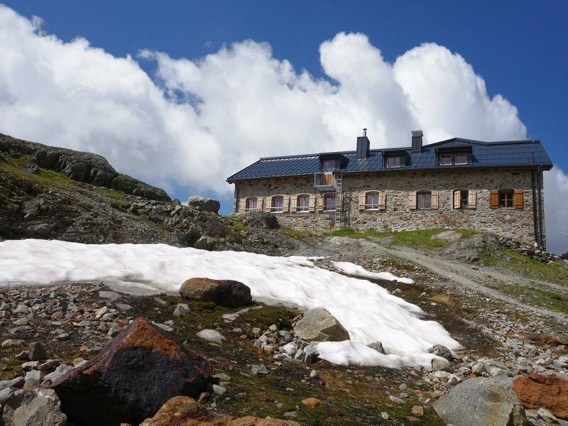
Even more overwhelming is the landscape up at the Braunschweig Mountain Hut (Braunschweiger Hütte), with view on the gigantic ice sheet on the Hangende Ferner beneath the Tiefenbachkogel. The European long-distance hiking trail E5 would lead from here to the Ötztal valley. But after a rest in the hut, we are about to descend along the same path. A bit shorter, but hardly easier alternative is to take the Jägersteig trail, onto which you can branch off after about 1 km of descent, omitting the waterfalls. For mountain hikers who are used to steep trails, this tour is no problem at all. For everyone else, there is a guarantee of muscle ache.
Author: AT
-
- Starting point:
- Mittelberg in the Pitztal valley
-
- Overall time:
- 04:50 h
-
- Total route length:
- 11,3 km
-
- Altitude:
- from 1.731 m to 2.739 m
-
- Altitude difference:
- +1038 m | -1038 m
-
- Route:
- Mittelberg - Gletscherstube Mountain Hut - Pitze Waterfall - Braunschweiger Hütte Mountain Hut
-
- Signposts:
- E5, no. 918
-
- Destination:
- Braunschweiger Hütte
-
- Resting points:
- Gletscherstube, Braunschweiger Hütte
-
- Recommended time of year:
- Jan Feb Mar Apr May Jun Jul Aug Sep Oct Nov Dec
-
- Download GPX track:
- Hike to the Braunschweiger Hütte hut
If you want to do this hike, we suggest you to check the weather and trail conditions in advance and on site before setting out.