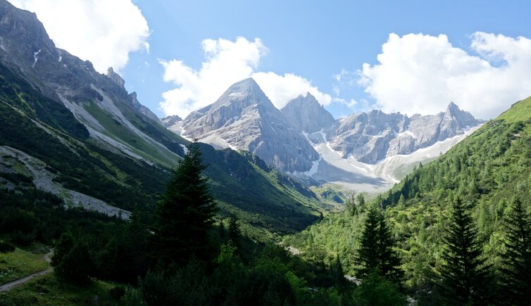
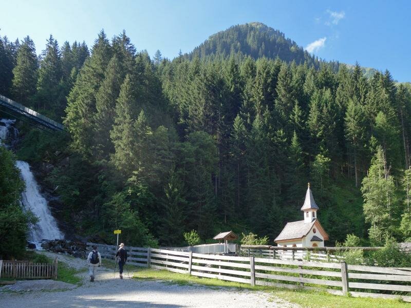
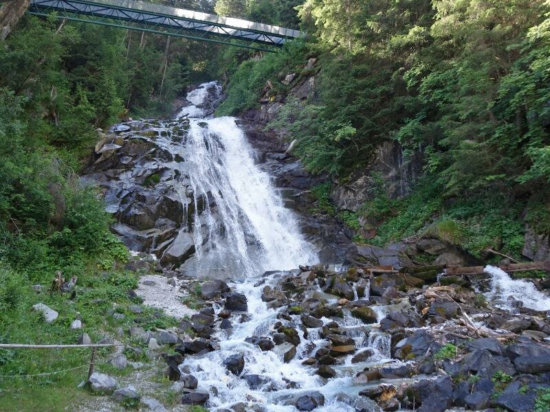
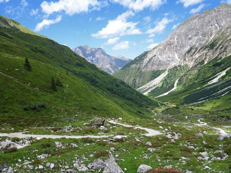
The Max Dellantoni Trail leads from the waterfall at the Mill Village Gschnitz through the Sandestal valley to the foot of the striking Tribulaun, where the Tribulaun Mountain Hut is located
Image gallery: Hike to the Gschnitzer Tribulaunhütte hut
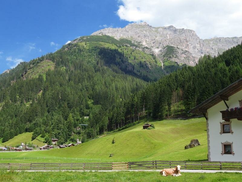
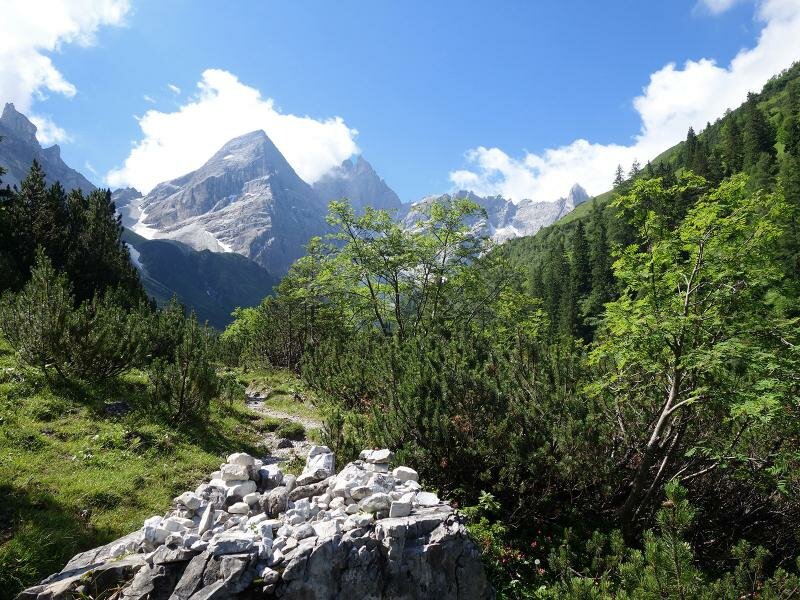
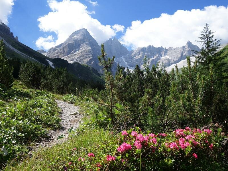
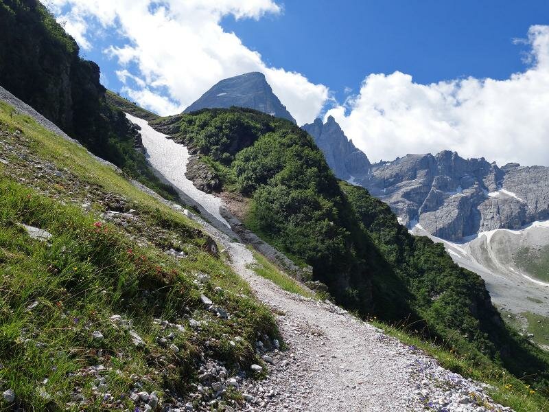
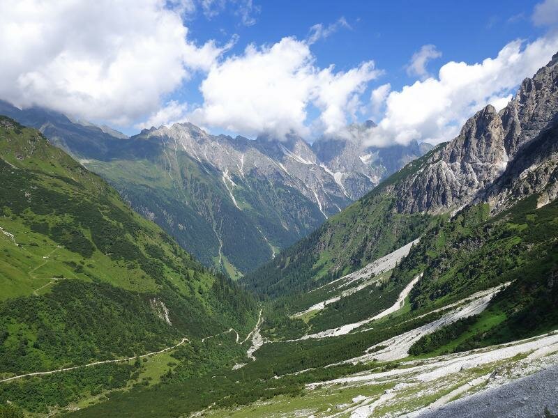
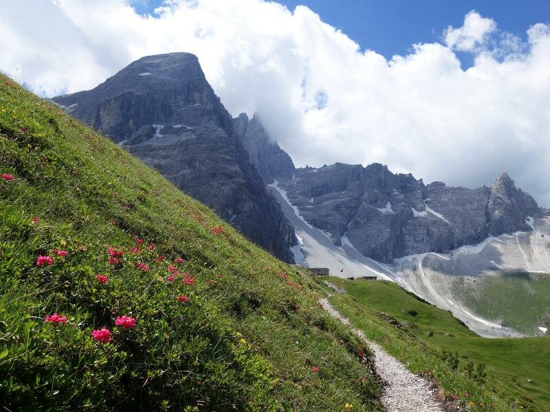
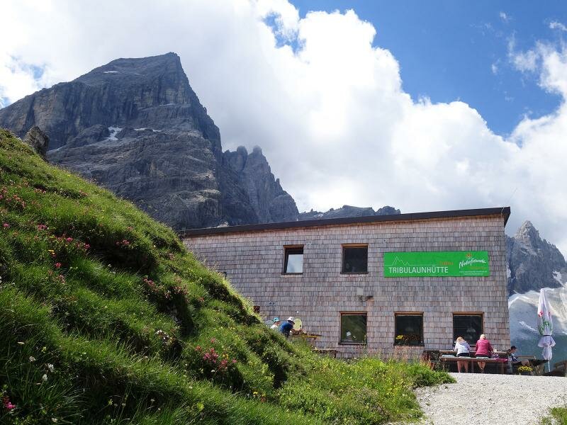
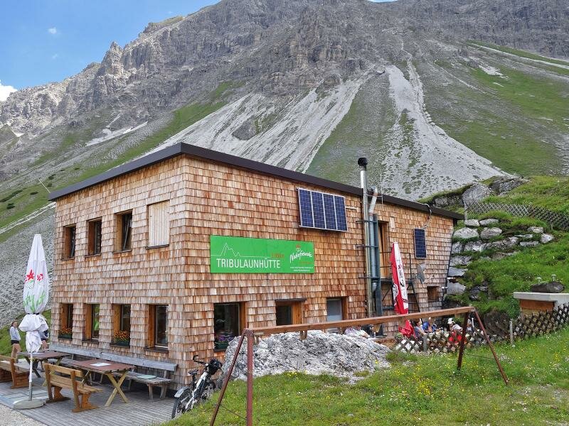
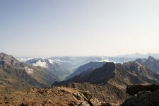
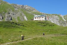
The mighty peaks of the Tribulaun are among the particular summits of the main Alpine ridge. Although the triumvirate is only 3,000 m high, its shape and rocks clearly are in contrast to the neighbours. Furthermore they are composed of light dolomite. Gschnitzer and Pflerscher Tribulaun are located at the southern end of the Sandestal valley, which branches off from the Gschnitztal. And straight beneath the peaks, the Gschnitzer Tribulaun Mountain Hut is located.
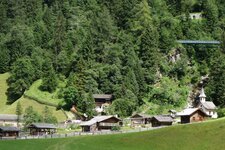
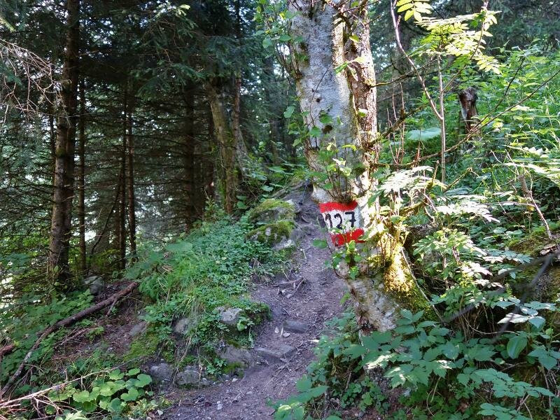
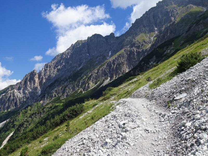
Starting point of this hike through the Sandestal valley is the parking space (chargeable) at the head of the Gschnitztal valley, directly behind the Feuerstein tavern. Past the bus stop, the path leads east of the Mill Village Gschnitz to the waterfall at the Sandesbach brook. There the ascent to the Tribulaun Mountain Hut starts, the path is also called Max Dellantoni Trail.
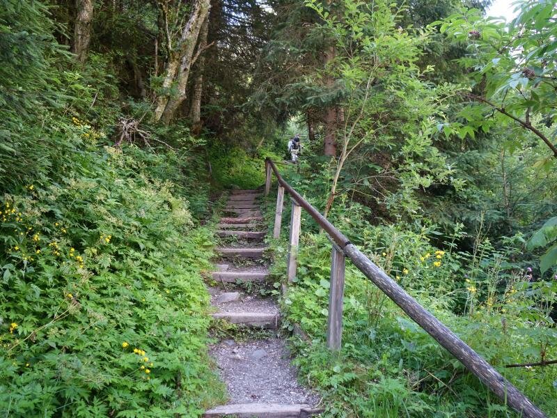
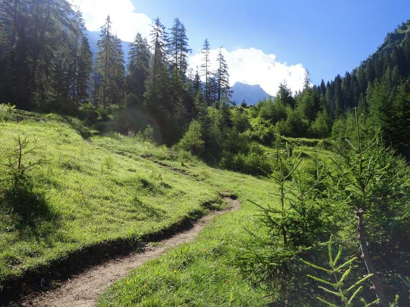
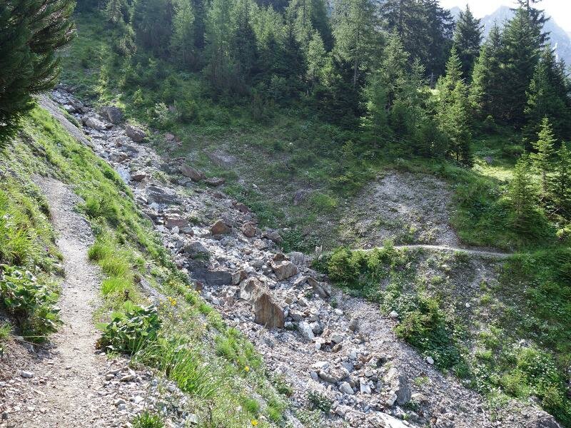
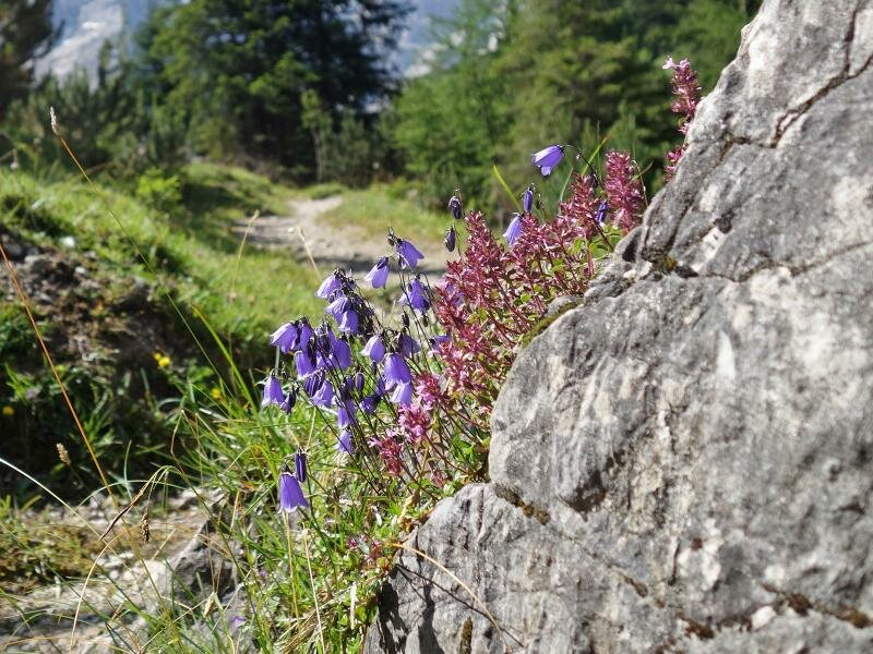
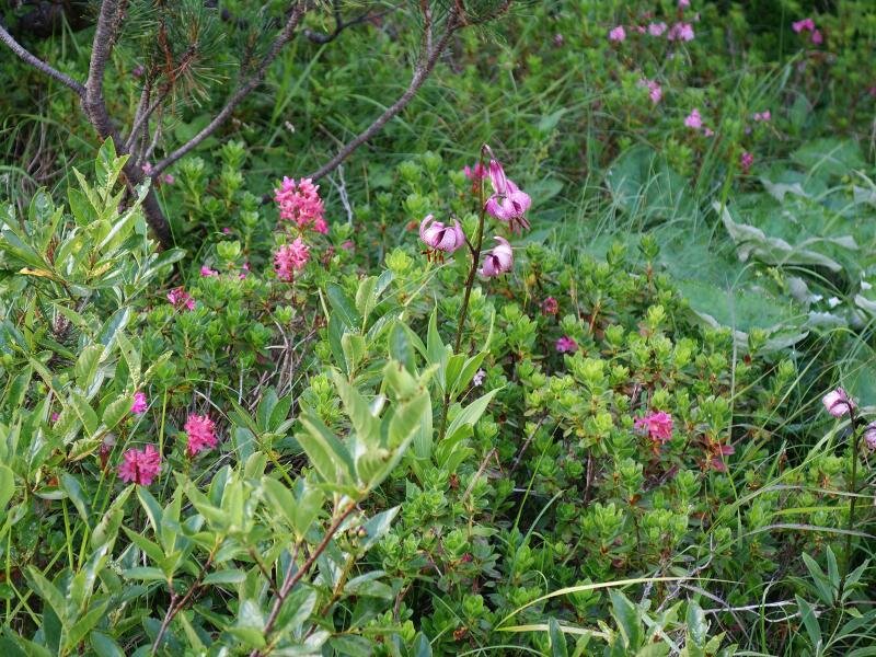
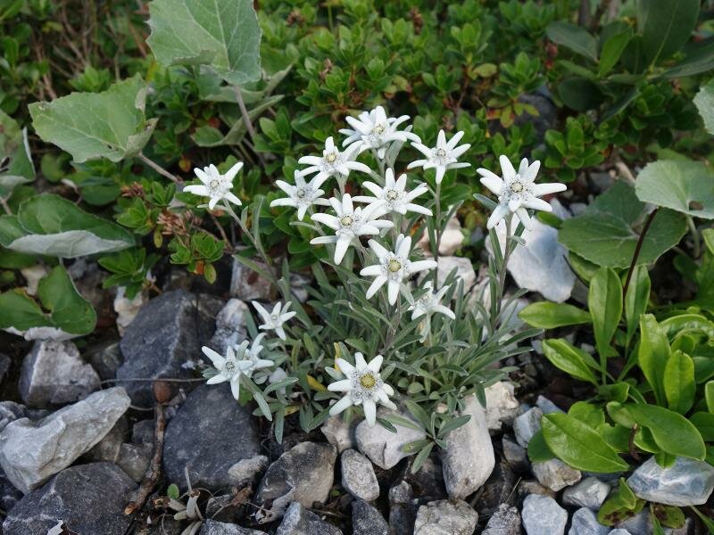
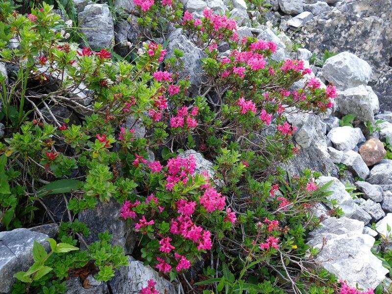
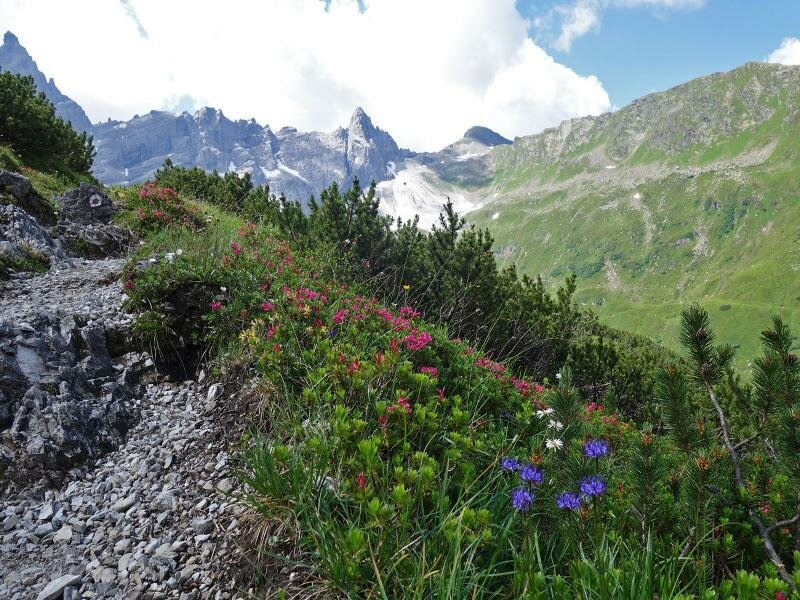
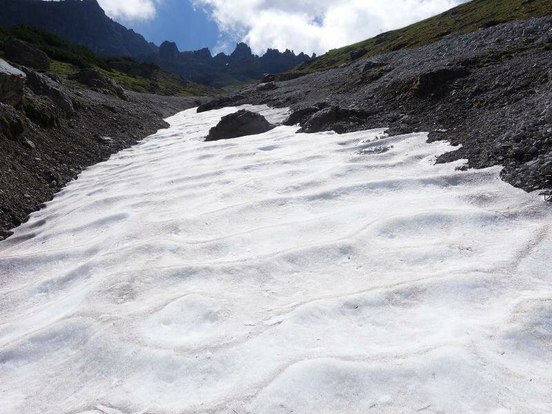
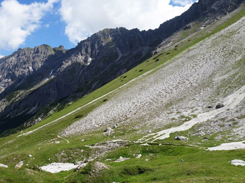
We start quite steep uphill, after 20 minutes the ascend becomes smoother and the trail runs southwards at the eastern slope of the valley. The larches make way for mountain pines and soon we reach the timberline. A species-rich flora accompanies us on the way to the Tribulaun Mountain Hut. The last kilometre leads us in serpentines uphill, then we reach the mountain hut at more than 2,000 m a.s.l. It is located directly beneath the mighty Gschnitzer Tribulaun. After a deserved break we have the possibility to descend along the same route or to take the path no. 54 (forest road). Those who appreciate the beauty of wild nature, get their money's worth on this tour, from the peaks of dolomite rock to the marvellous high alpine flora.
Author: AT
-
- Starting point:
- Gschnitztal parking space at the head of the valley
-
- Overall time:
- 04:30 h
-
- Total route length:
- 9,9 km
-
- Altitude:
- from 1.281 m to 2.065 m
-
- Altitude difference:
- +783 m | -783 m
-
- Route:
- Max Dellantoni Trail - Tribulaunhütte Mountain Hut
-
- Signposts:
- no. 127
-
- Destination:
- Tribulaunhütte
-
- Resting points:
- Tribulaunhütte
-
- Recommended time of year:
- Jan Feb Mar Apr May Jun Jul Aug Sep Oct Nov Dec
-
- Download GPX track:
- Hike to the Gschnitzer Tribulaunhütte hut
If you want to do this hike, we suggest you to check the weather and trail conditions in advance and on site before setting out.