This demanding mountain tour leads from the Inn Valley into the heart of the impressive Karwendel Mountains, overcoming an altitude difference of 1,700 metres
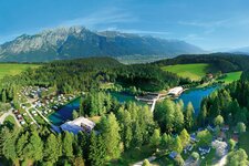
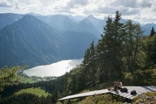
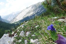
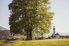
Image gallery: Hike to the Hallerangerhaus mountain hut
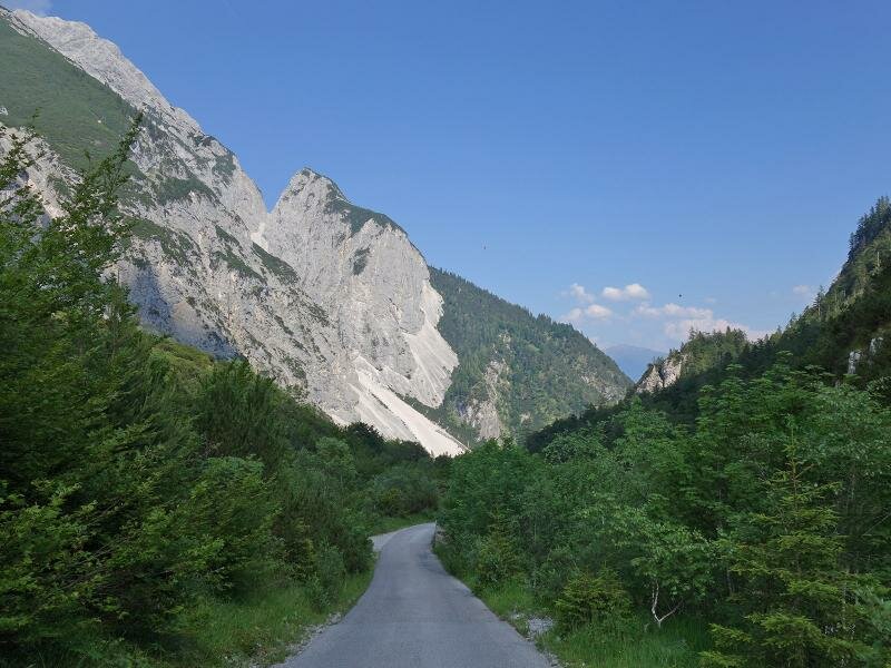
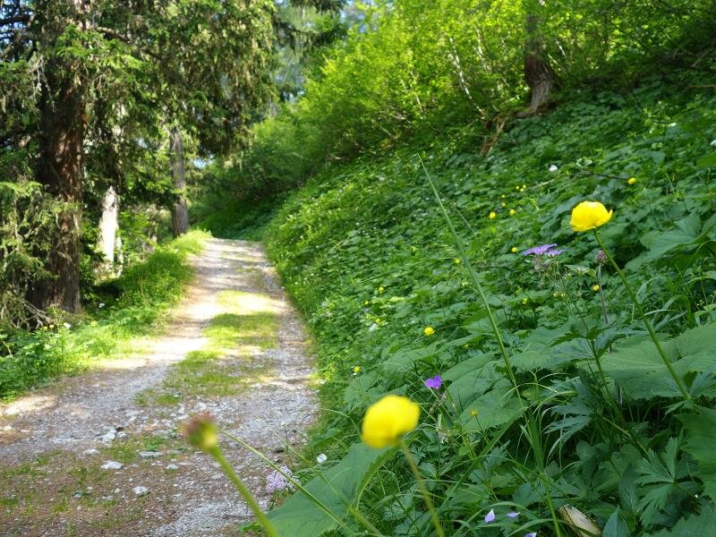
The ancient Salt Road through the Halltal valley starts in Absam near Hall in the Inntal valley. At the edge of the Bettelwurf quarter, where the further course of the road is closed to traffic (except for the shuttle service), there's a parking space for hikers. The best way through the narrow valley is the Fluchtsteig path, running parallel to the asphalt road and leading to the St. Magdalena snack bar at 1,270 m a.s.l. It is the only rest point of this tour.
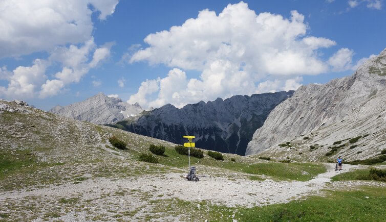
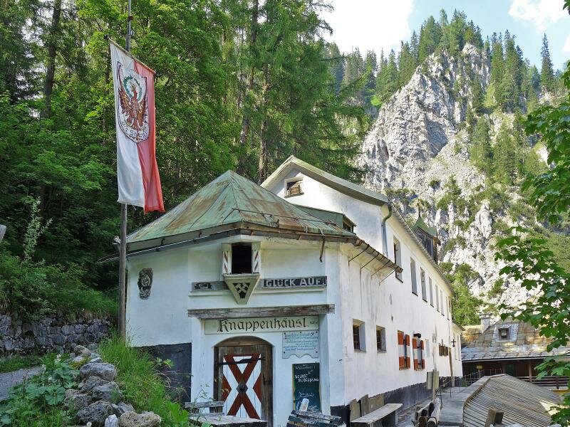
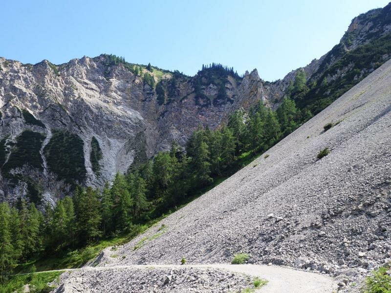
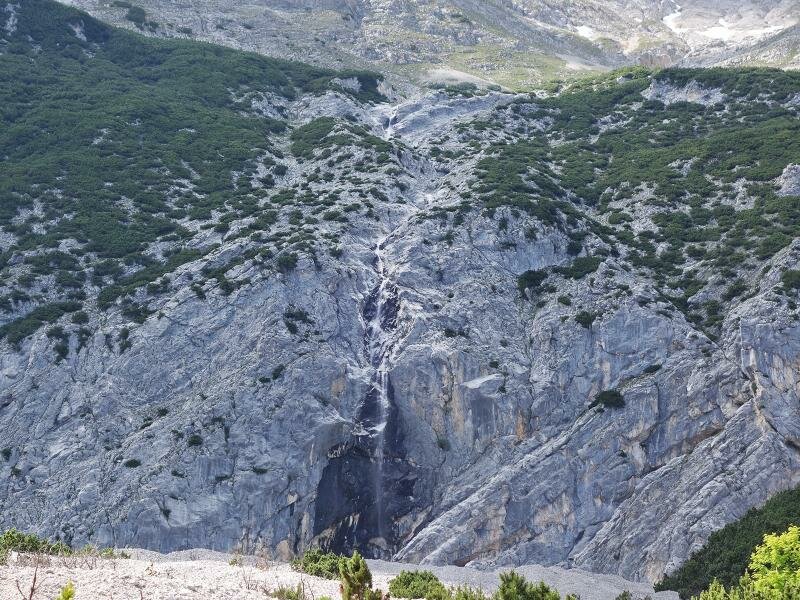
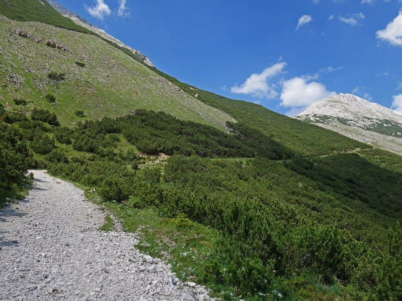
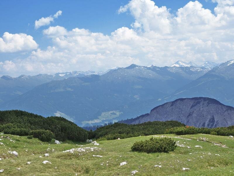
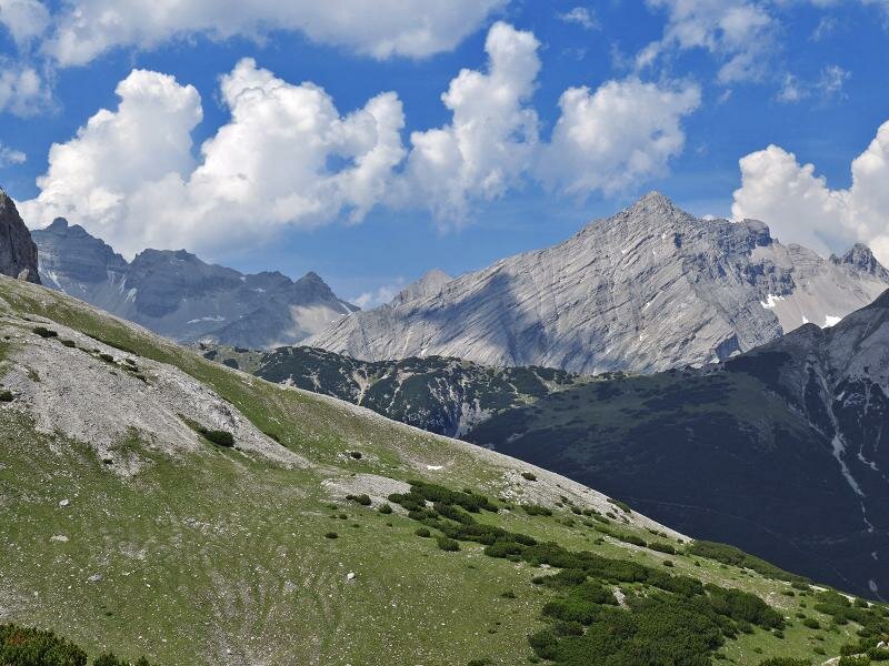
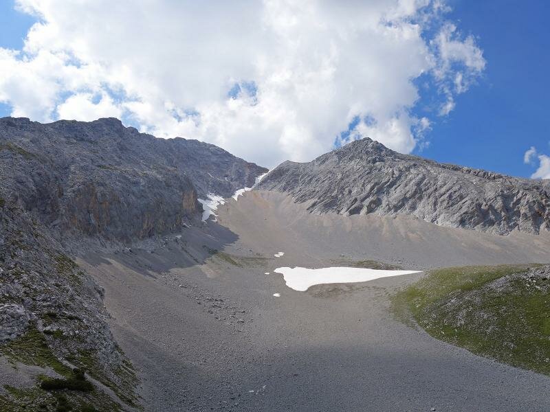
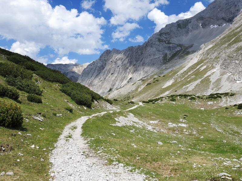
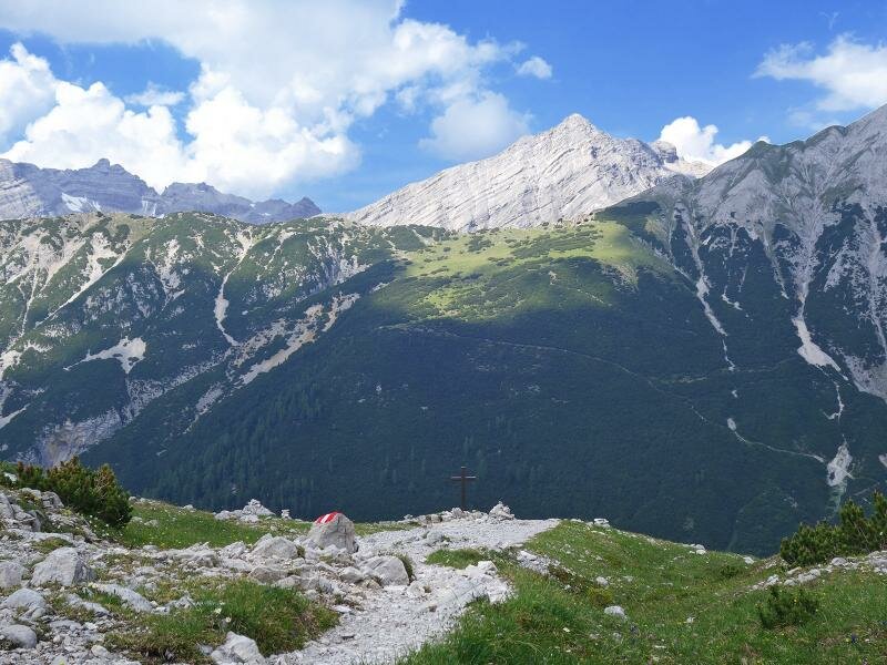
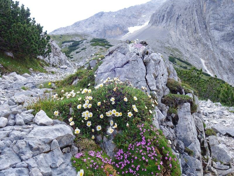
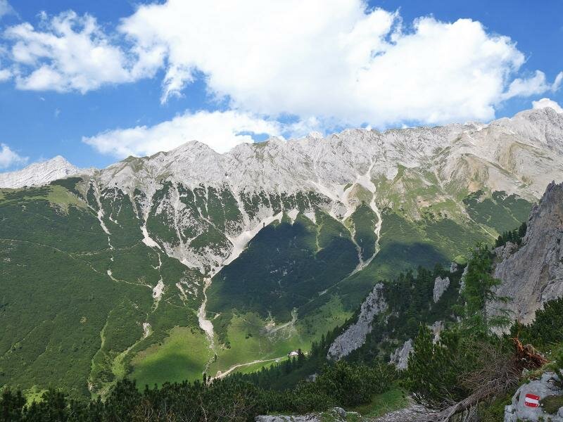
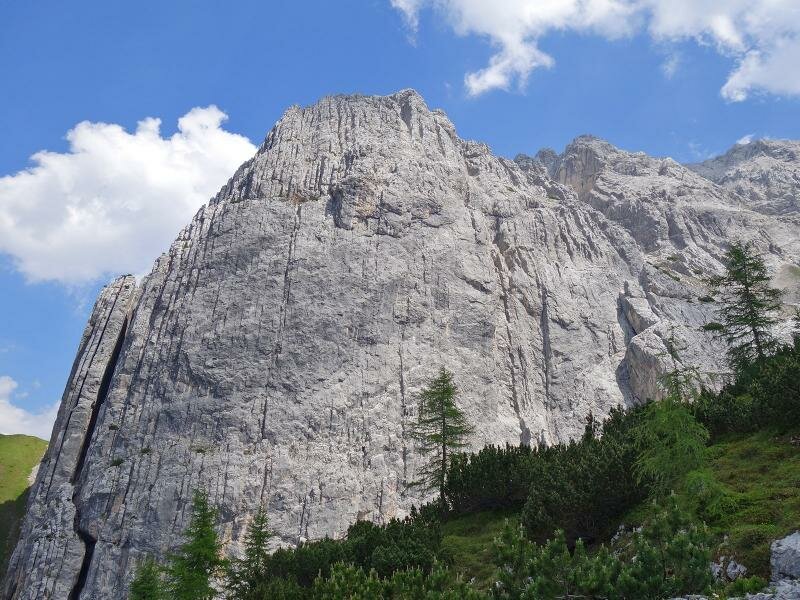
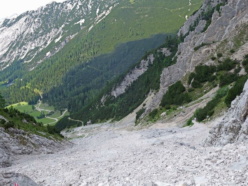
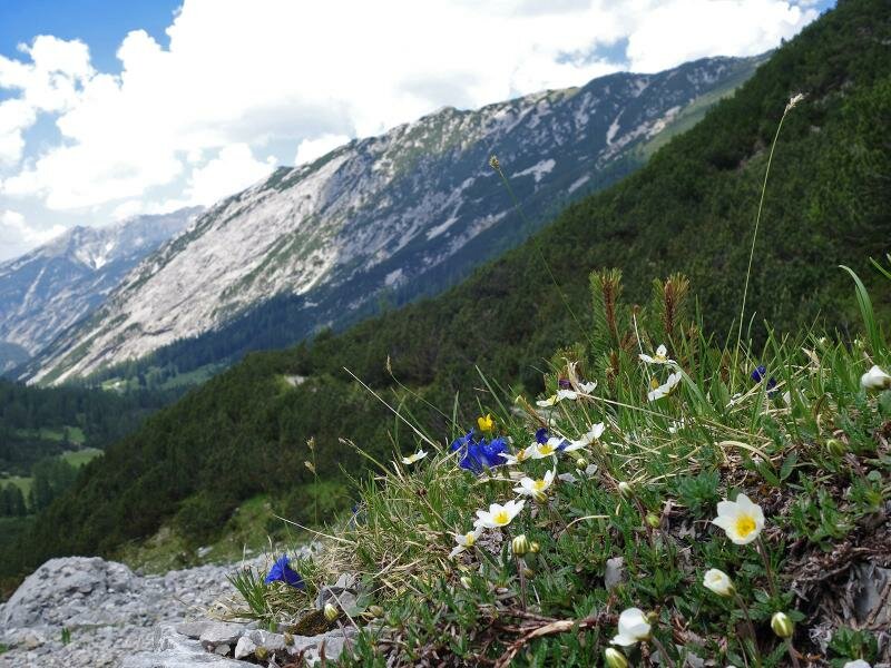
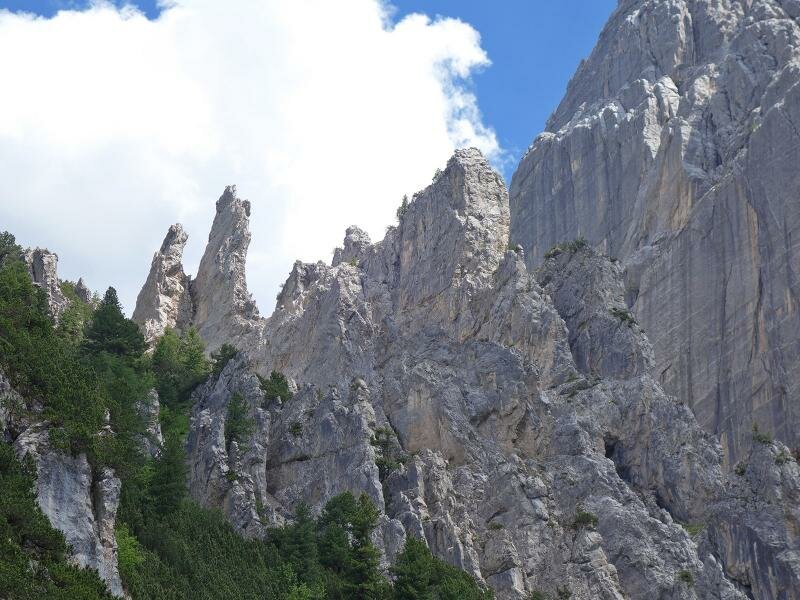
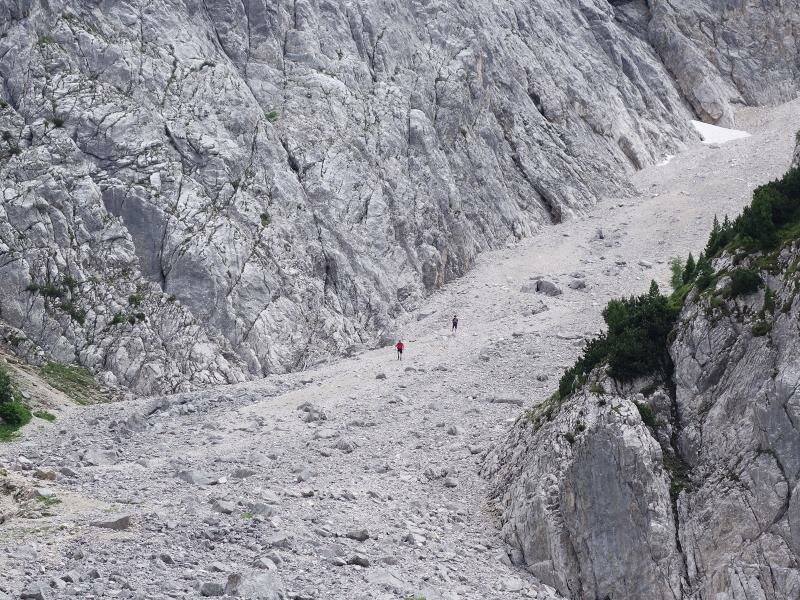
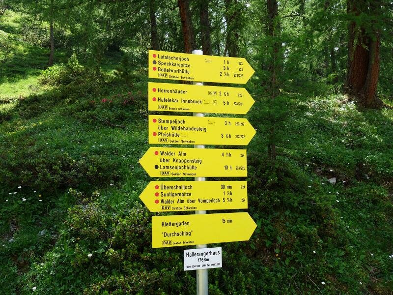
Slightly higher, at approx. 1,500 m a.s.l., there's the former salt mine with its miners' refuge and the mansions. We walk via the Issjöchl saddle (1,670 m a.s.l.) to the high alpine landscape of the Issanger, where the ascent to the Lafatscher Saddle (Lafatscherjoch) starts. This saddle at 2,081 m a.s.l. represents the highest point of our mountain tour. Around us, the peaks of the Karwendel Mountains rise up to the sky, from the Wildangerspitze and the Stempeljochspitzen to Mt. Lafatscher and the Speckkarspitze. The path snakes its way across the wild and nearly untouched nature of the Karwendel Alpine Park, a protected area.
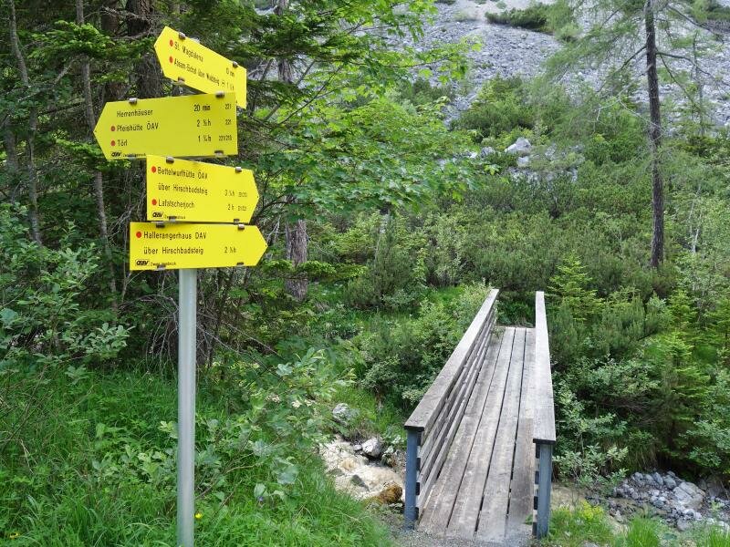
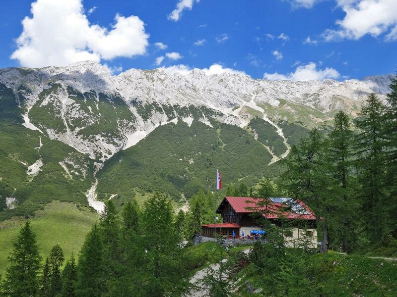
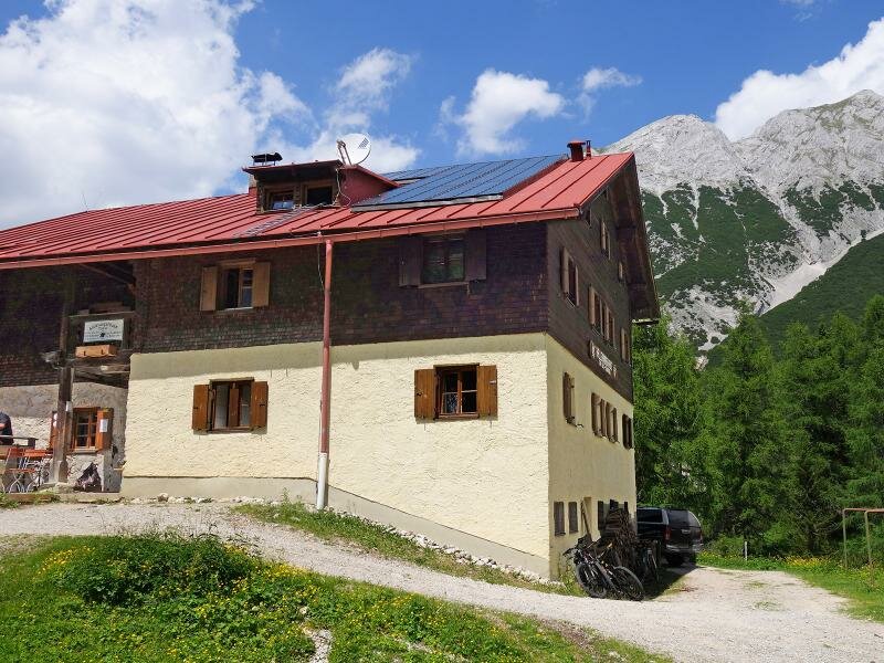
The narrow trail leads us downhill to the Halleranger Mountain Hut (Hallerangerhaus) at 1,768 m a.s.l. - this section coincides with a stage of the Karwendel High Route. We enjoy a rest at the hut and the culinary delicacies it has to offer. The long way back - following the same route - is still ahead. By the way: Take the shuttle service to reach the end of the asphalt road in the Halltal valley. By starting from this point, you can save 550 m of altitude difference and 4 km in each direction. The walking time reduces to approx. 3 hours (each direction).
Author: AT
-
- Starting point:
- Absam, Halltal parking space near the Bettelwurf quarter
-
- Overall time:
- 08:30 h
-
- Total route length:
- 21,8 km
-
- Altitude:
- from 789 m to 2.070 m
-
- Altitude difference (uphill | downhill):
- +1690 m | -1690 m
-
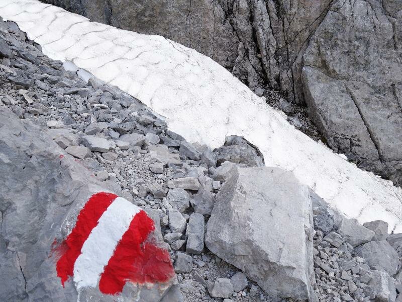
- Signposts:
- no. 221, 223, 224
-
- Destination:
- Lafatscher Joch Saddle, Hallerangerhaus Mountain Hut
-
- Resting points:
- St. Magdalena, Hallerangerhaus
-
- Recommended time of year:
- Jan Feb Mar Apr May Jun Jul Aug Sep Oct Nov Dec
-
- Download GPX track:
- Hike to the Hallerangerhaus mountain hut
If you want to undertake this hike, we recommend checking the weather and trail conditions in advance and on site before starting this hike!