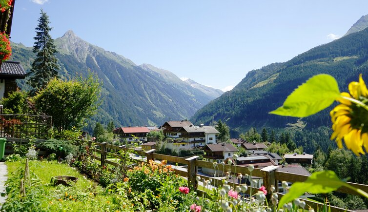
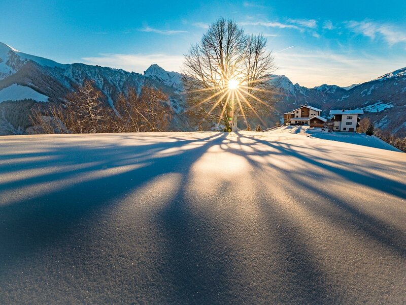
The little sunny village of Brandberg can be found in the heart of the Zillertal Alps Nature Park, the largest protected area of the Alps
Image gallery: Brandberg
Altitude: 1,082 m a.s.l.
Branching off from Mayrhofen, you come to a side valley of the Zillertal, the Zillergrund. This is where the village of Brandberg is located, covering almost the entire territory of the Zillergrund and even extending to the South Tyrolean border (Italy). The village is accessible from Mayrhofen via a gorge or from Hollenzen via the modern tunnel, and is dominated by the Brandenberger Kolm, a 2,700 m high mountain of the Zillertal Alps.
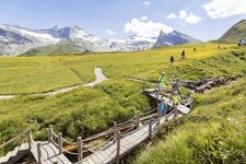
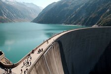
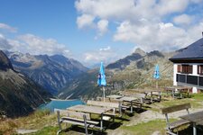
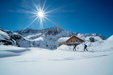
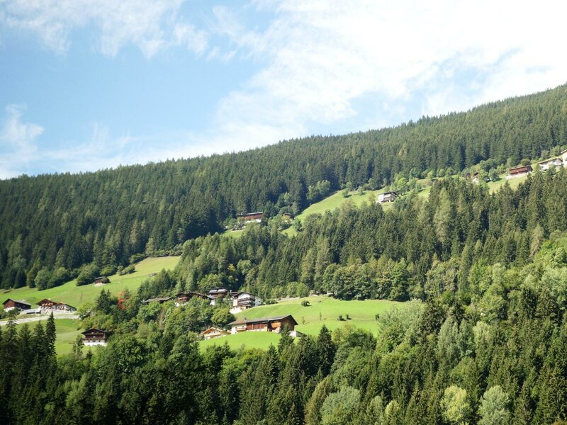
Brandberg is located in the Nature Park Zillertal Alps: The municipal area includes a vast hiking trail network as well as two mountain huts, the Plauener Hütte built in 1898/99 and the Kolmhaus at 1,845 m a.s.l. The latter is located at the leading edge of a little valley basin, surrounded by a glorious vegetation with bell-flowers, ambers and various orchids, which is all by virtue of local farmers who cultivated this area until recently and protected it from scrub encroachment.
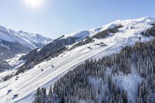
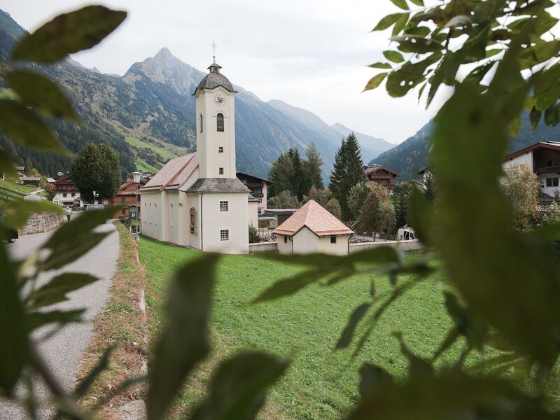
In the village itself, there are some sights and interesting constructions: One of them is the Schrofen Mill at the Mühlbach river, which was in service until the Fifties. It is one of the few preserved mills of the Zillertal valley and has been put under monumental protection. The Hanserhof, however, is a 500-year old farm, some components of which even date back to the 15th century. The protagonist in winter is the Zillergrund, a paradise for snowshoe hikers.