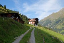
In Ginzling there’s the visitors’ centre of the Zillertal Alps Nature Park, featuring an interesting adventure exhibition
Image gallery: Ginzling
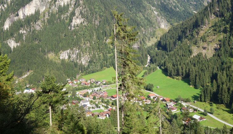
Altitude: 999 m a.s.l.
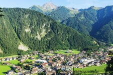
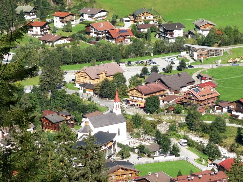
Ginzling in the Zemmgrund area is a special village: The part on the right Zemmbach riverbank makes part of the municipality of Mayrhofen, while the one on the left, called Dornauberg, belongs to Finkenberg. However, the Zemmbach river does not only split up Ginzling, but also represents the border between the diocese of Innsbruck (west riverbank) and the archdiocese Salzburg (east).
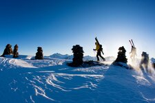
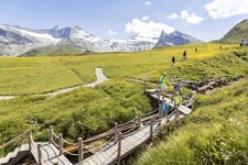
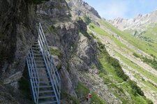
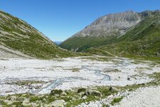
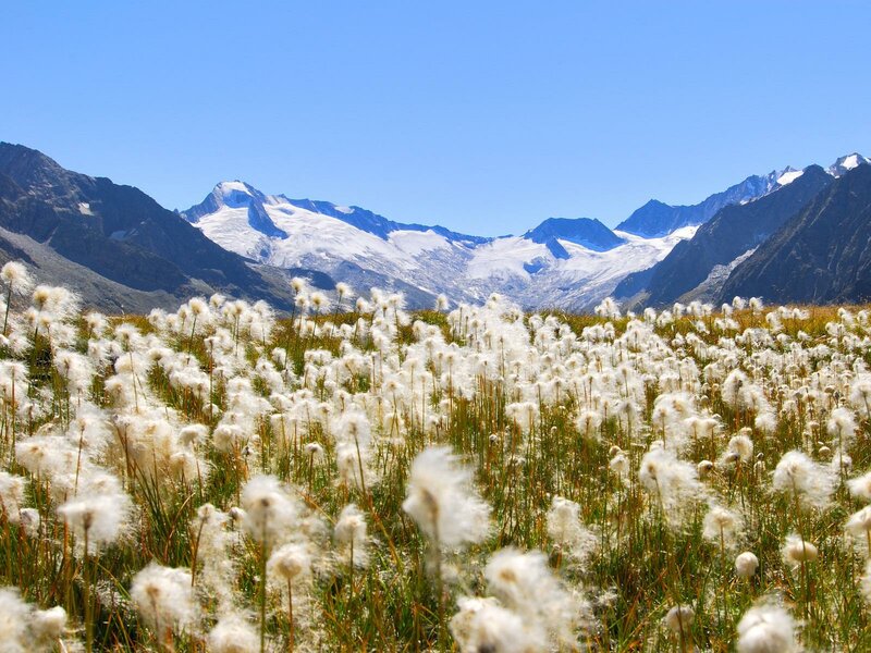
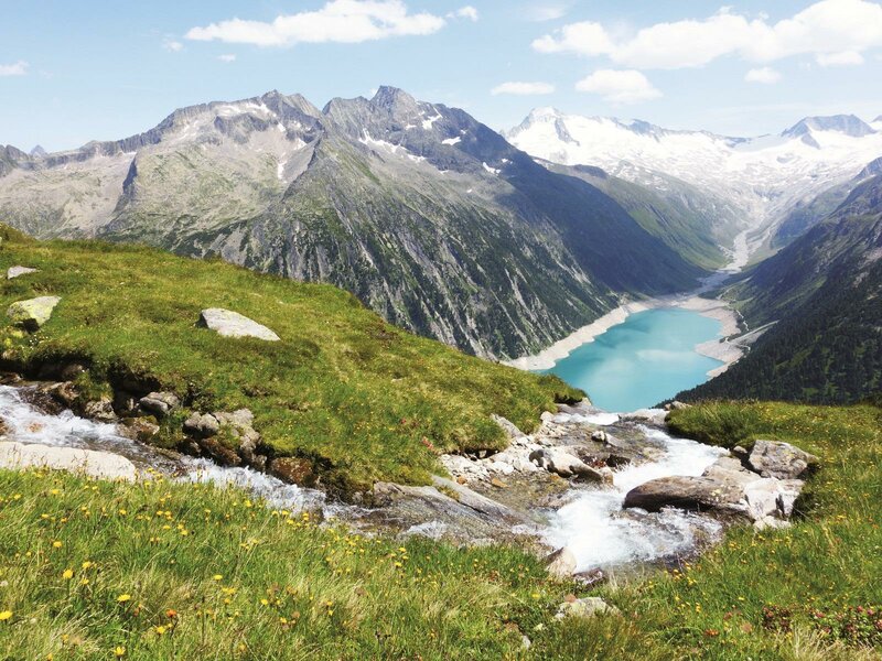
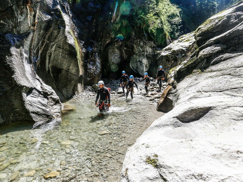
Here you are in the Zillertal Alps Nature Park, the largest protected area of the Alps. Numerous trails and climbing routes snake in this part of the Alps, and all hiking trails have been awarded with the Tyrolean hiking trail seal of quality "Bergwegegütesiegel". Some of the most popular tours lead to Mt. Schönbichlerhorn (3,133 m a.s.l.), in five days from refuge to refuge on the Berlin High Route, or on the round trail from Ginzling to the surrounding alpine pastures and back.
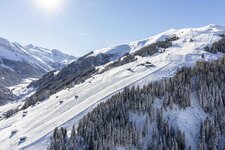
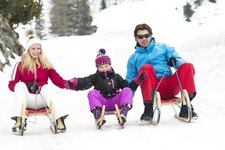
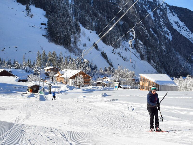
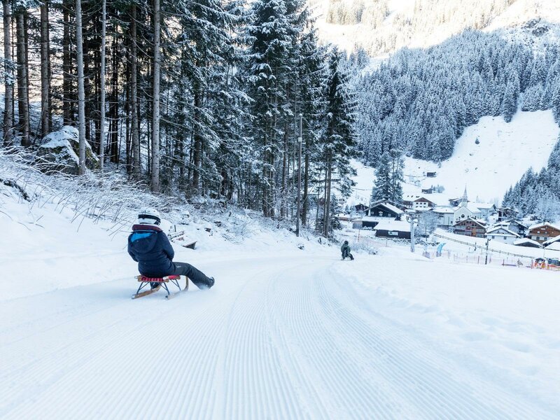
In the nature park visitors' centre in Ginzling, the interactive multimedia points make sure that also the little ones are entertained. The facility also includes an alpine and regional library as well as the administration of Ginzling. In winter, a ski shuttle takes you to the nearby Mayrhofen Skiing Area, featuring 150.5 km of slopes. The new 6.7 km long Ginzling cross-country ski track, starting right at the visitors' centre, and the toboggan run Tristenbachalm complete the offer in the cold season.