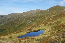
An interesting destination was inaugurated in Fügenberg some years ago: the show gallery in the Öxtal valley at an altitude of 1,783 m
Image gallery: Fügenberg

Altitude: 681 m a.s.l.
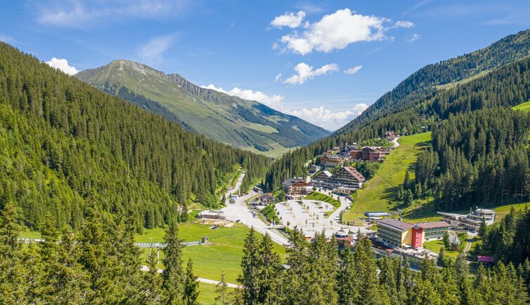
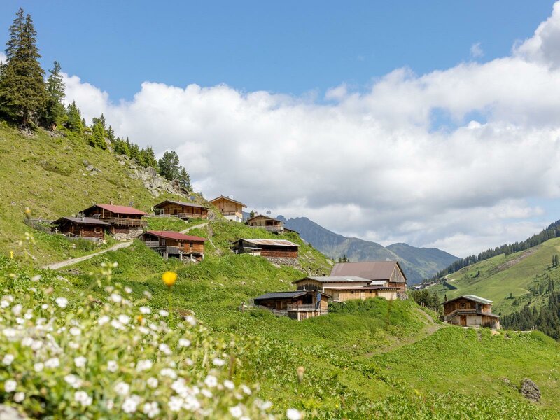
Fügenberg and its component localities Fügenberg, Pankrazberg and Hochfügen are spread on the slopes above Fügen and extend up to 2,000 m a.s.l. Also two narrow valleys in the Tux Alps - the Öxltal and the Finsingtal - are part of the municipal area. The well constructed Hochfügen Road connects the single localities. For centuries, at Fügenberg people searched for mineral resources such as iron ore, and many chapels in the surroundings were constructed by miners.
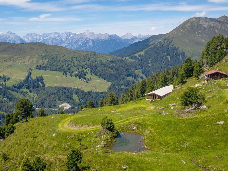
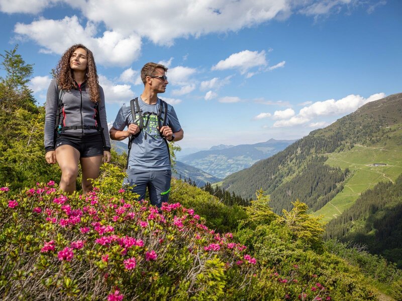
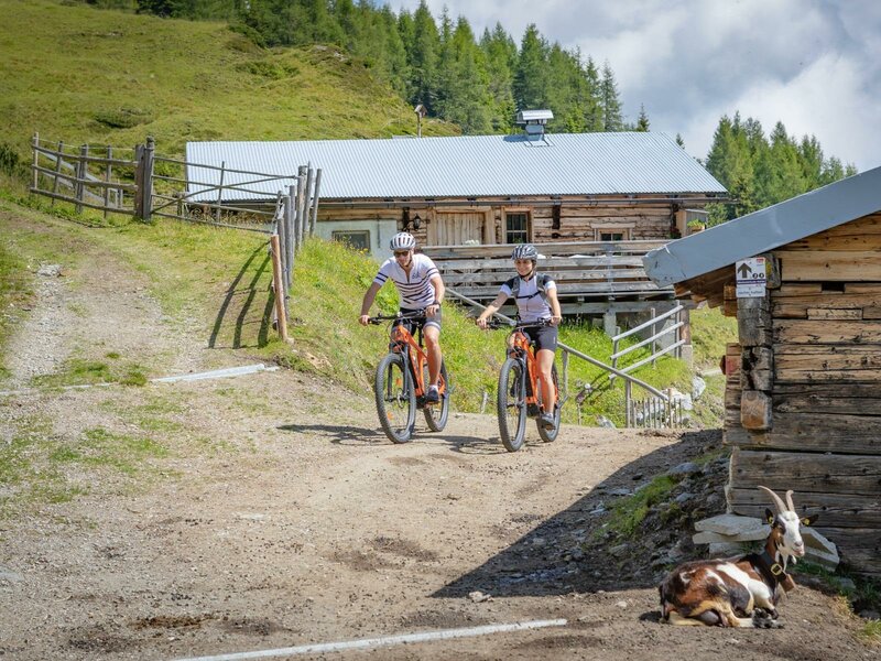
Highest elevations are the Spieljoch and Kellerjoch passes as well as the Marchkopf and Gilfert mountains. Also several alpine pastures and mountain huts are included in the municipal area, such as the Pfundsalm, the Geolsalm at 1,733 m a.s.l., the Schellenbergalm and the Lumpereralm, beautiful hiking destinations in the Tyrolean mountain world. Furthermore, the area of Schwarz-Jenbach-Fügen-Hochfügen is characterised by the highest density of mountain bike trails of Tyrol.
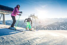
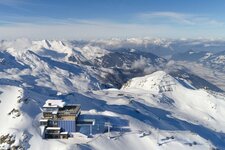
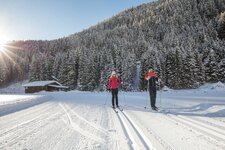
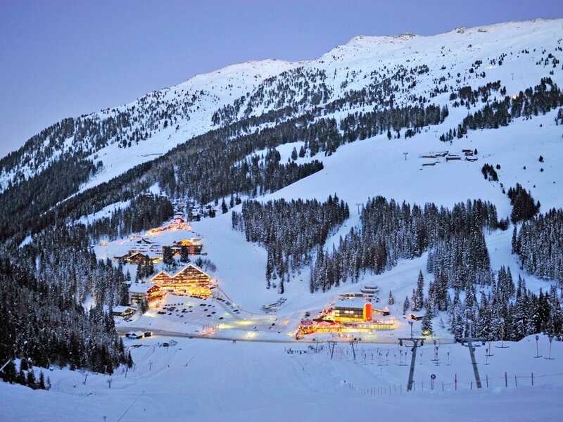
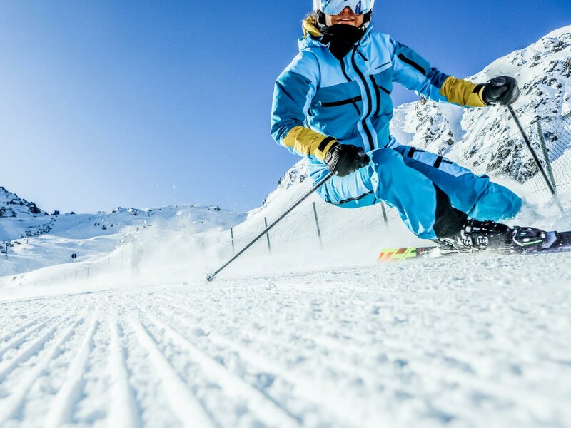
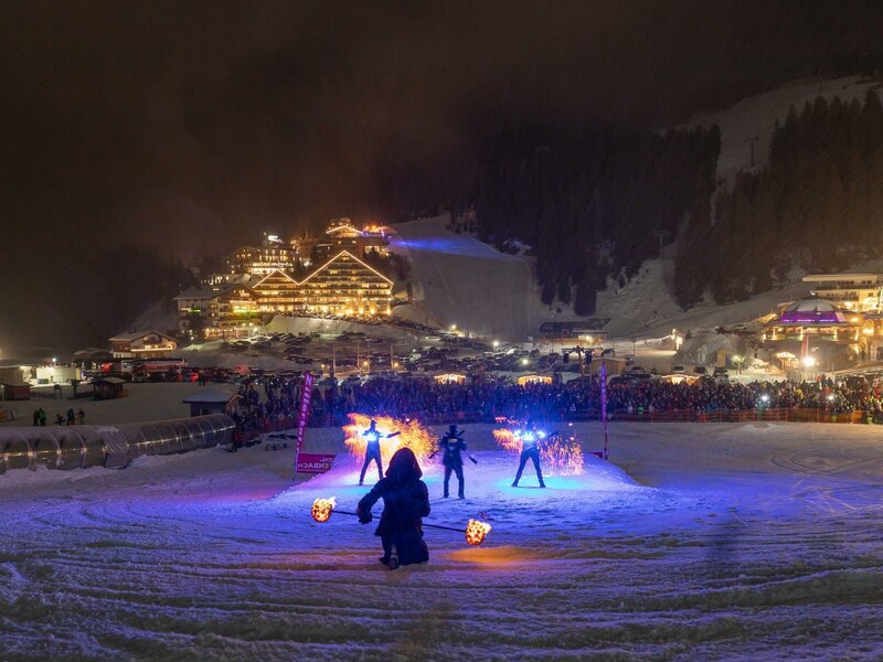
If you are interested in history and culture, we recommend a visit to the St. Pancras Church. The small pilgrimage church sits enthroned on a hill and was already mentioned in 1338 AD. For some years now, it has housed also a Christmas crib, which can be visited all year round. In winter, in the hotel village of Hochfügen starts the cable car to the Hochfügen Skiing Area, a connection between the Hochfügen and Hochzillertal areas. Today, it is one of the best freeride areas in Europe.