The Tux Alps, mountains that exclusively stretch in Tyrol, are also called Tux pre-Alps and - in German - Tuxer Alpen
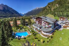
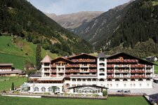
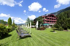
Image gallery: Tux Alps
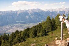
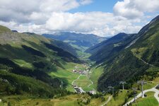
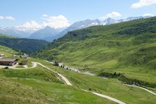
The Tux Alps, named after the village of Tux in a side valley of the Zillertal, are exclusively located in Tyrol and stretch from Innsbruck (Mt. Patscherkofel) via the Zillertal valley to the area of Schwaz with its Kellerjoch mountain. In the Tux Alps, there are several skiing areas such as Hochfügen-Hochzillertal, Glungezer, the above mentioned Kellerjoch and the Patscherkofel near Innsbruck.
In the north, the Tux Alps border on the Karwendel Mountains, in the north-east on the Rofan Mountains, in the east on the Kitzbühel Alps and in the west on the Stubai Alps. In the south, they are bordered by the Tux Alps - the 2,338 m high Tuxer Joch connects these two mountain ranges.
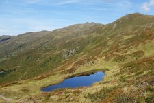
Peaks: The highest one is the 2,886 m high Lizumer Reckner, further significant mountains are Mt. Patscherkofel (2,246 m a.s.l.), Mt. Glungezer (2,677 m a.s.l.), Mt. Kellerjoch (2,344 m a.s.l.) and Mt. Gilfert (2,506 m a.s.l.). The gorgeous Stone Pine Path connects Mt. Glungezer to Mt. Patscherkofel.
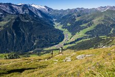
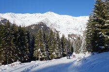
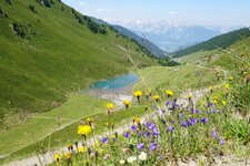
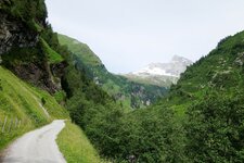
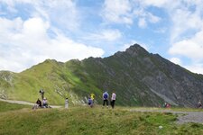
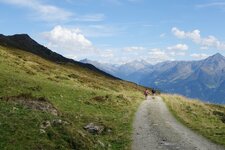
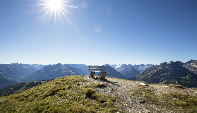
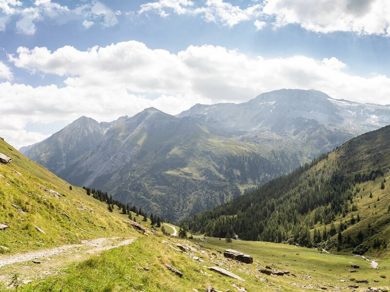
Trails: The Tux Alps are particularly popular with hikers. The Dream Path Munich-Venice stretches across this mountain range, past the Glungezer Mountain Hut, the Lizumer Hut and the Tuxer Joch Refuge. Also the long-distance Eagle Path and the Via Alpina make you experience the beauty of the Tux Alps from close quarters. Their fixed-rope routes are best accessible from Mayrhofen.