The Lech Cycle Path makes you discover the beauty of the last wild river of the Northern Alps and its surroundings
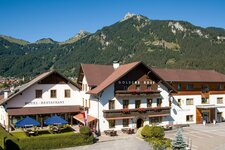
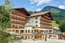
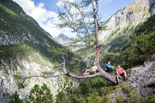
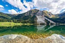
Image gallery: Lech Cycle Route
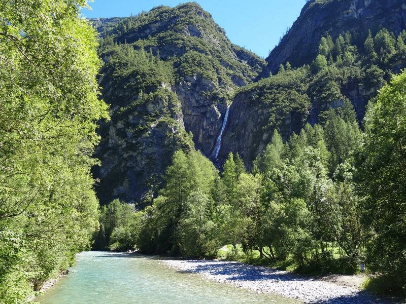
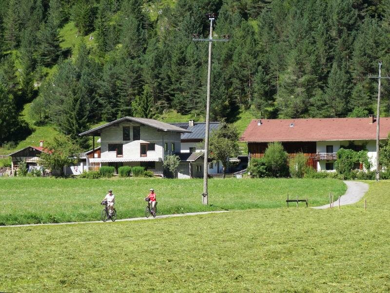
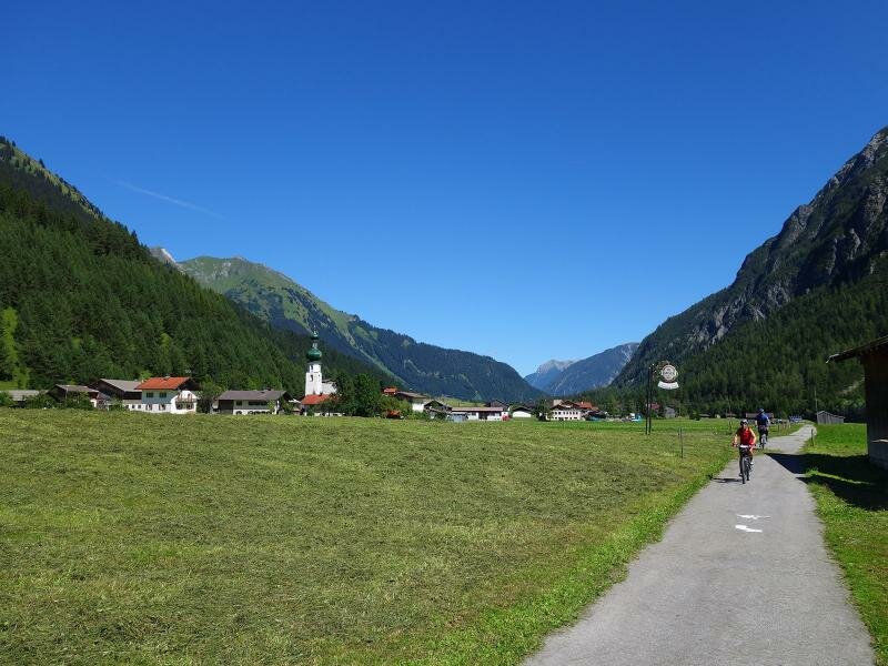
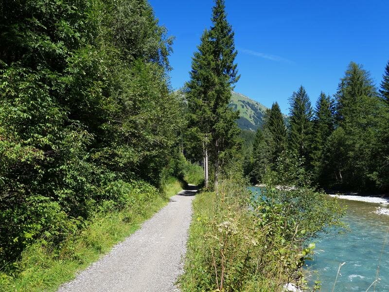
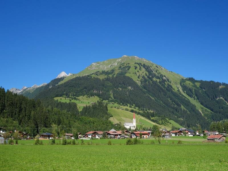
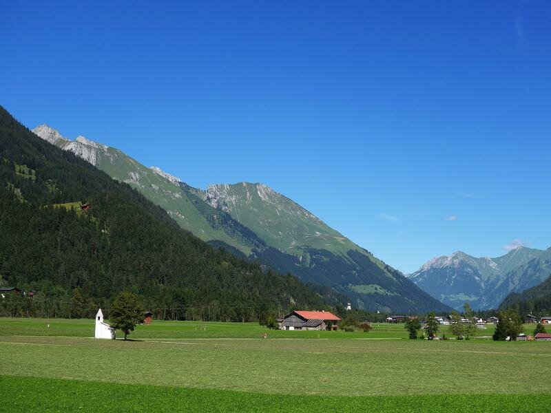
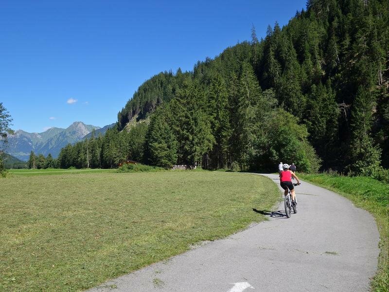
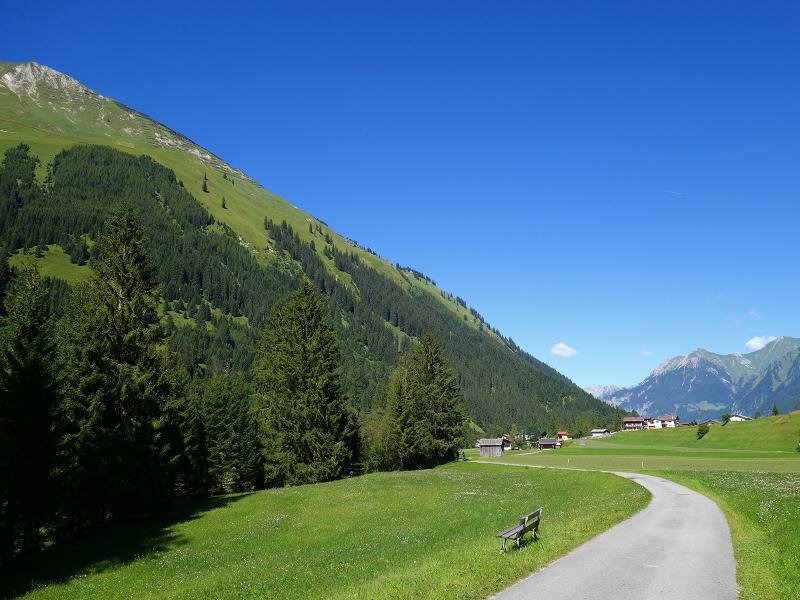
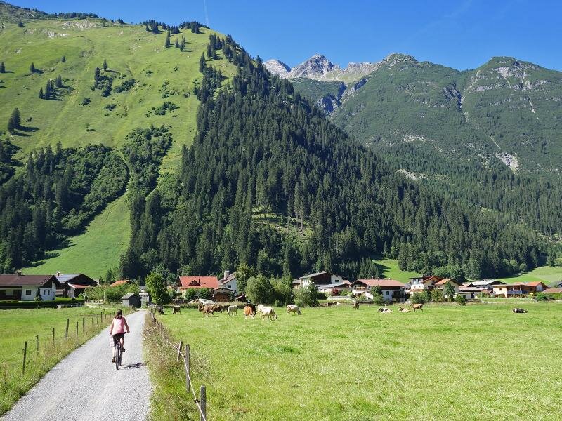
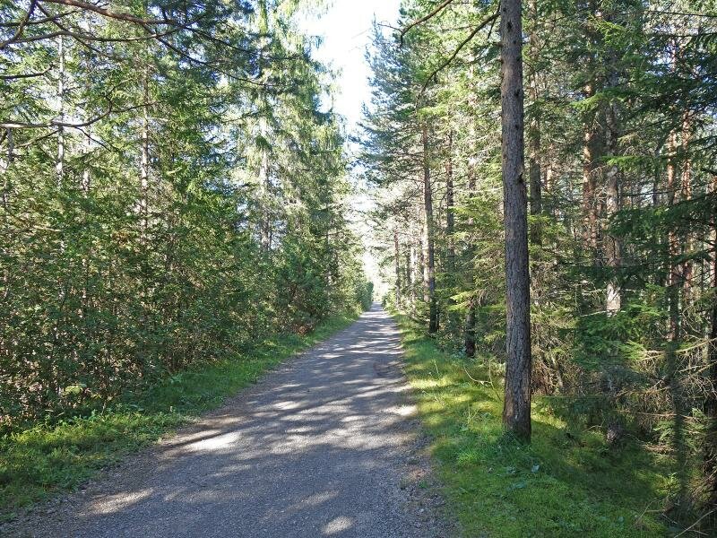
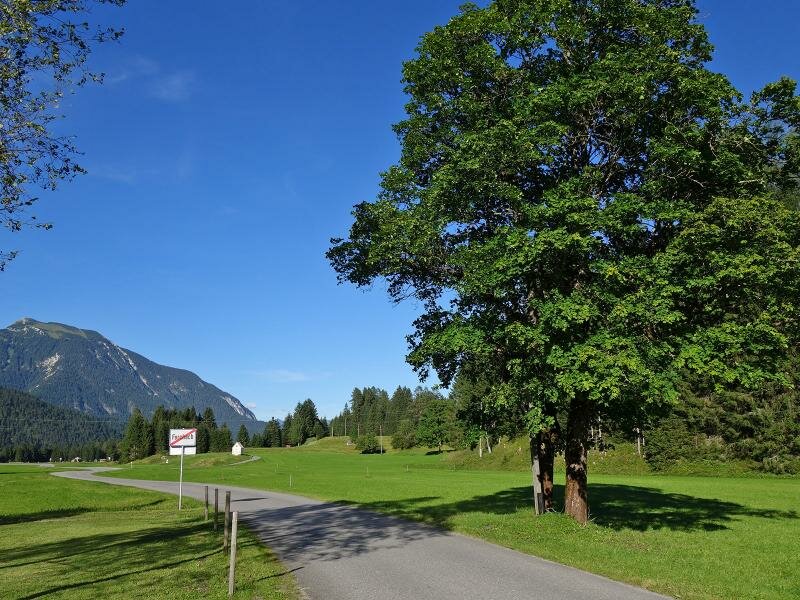
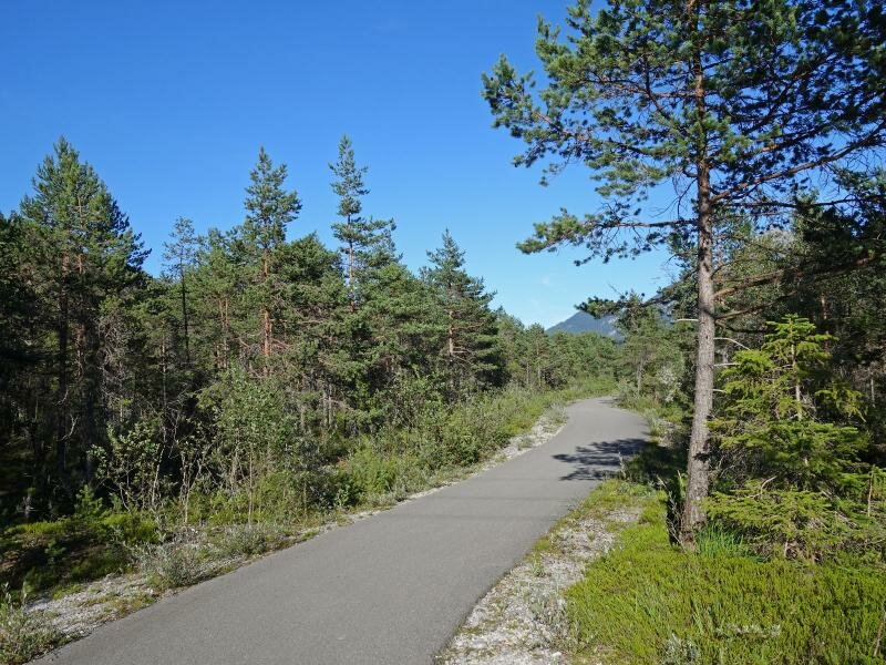
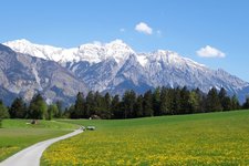
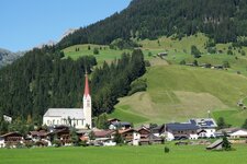
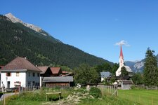
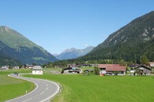
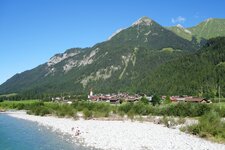
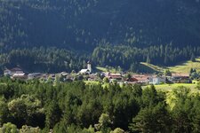
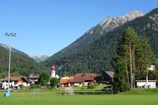
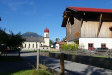
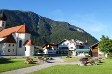
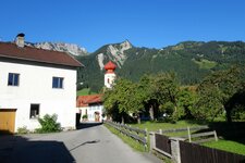
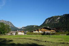
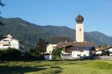
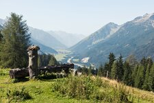
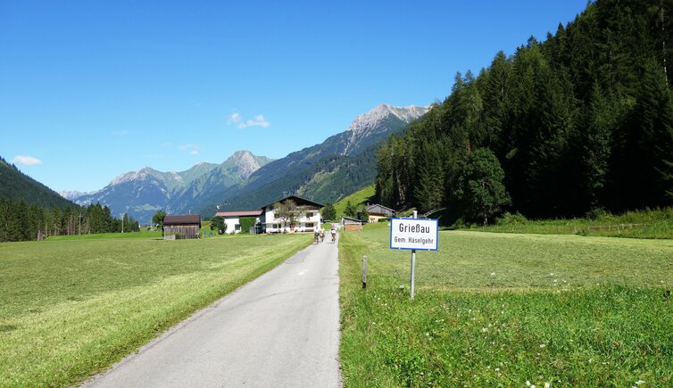
The Lech Cycle Route (Lech Radweg) starts near the village of Steeg in the upper Lechtal valley, and follows the course of the Lech river to Reutte and further on to Germany. For the most part, it follows asphalt tracks and side roads, and proceeds slightly downhill through the valley with its green meadows. Passing several times to the opposite side of the valley, the route takes via the villages of Hägerau, Holzgau, Stockach, Bach, Elbigenalp and Häselgehr to Elmen. Every now and then, a tavern or mountain inn invites to take a break. The route continues through the riparian forests along the Lech river - the surroundings vary between natural and cultural landscapes.
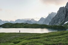
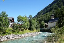
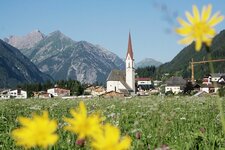
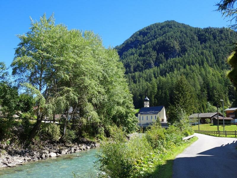
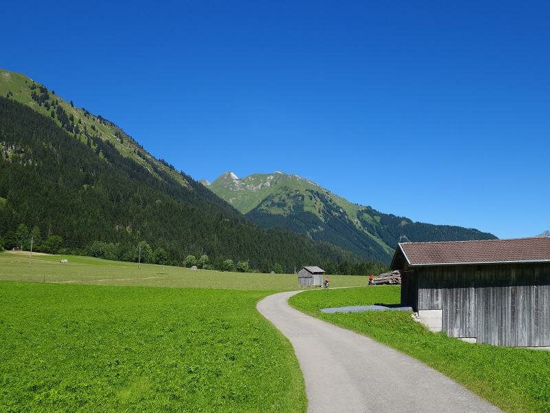
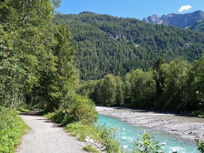
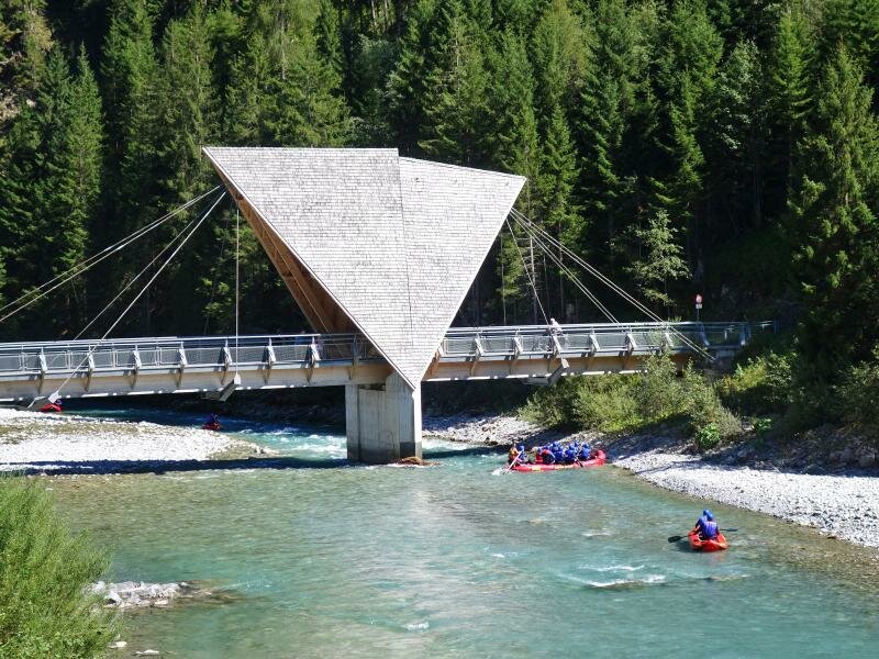
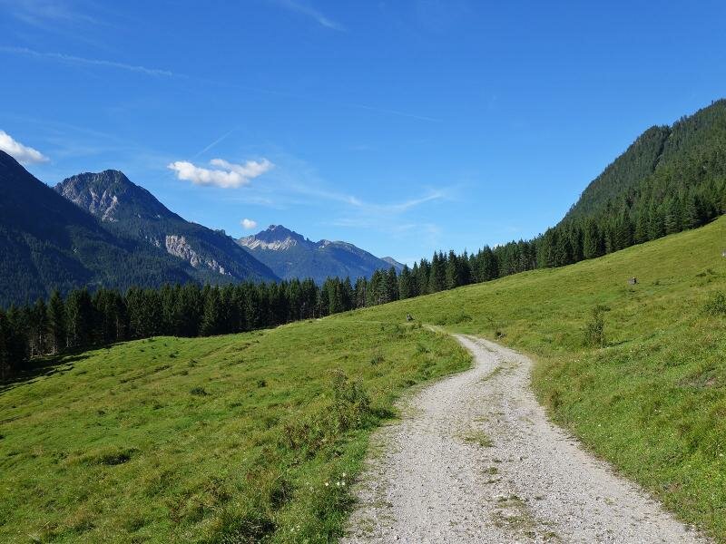
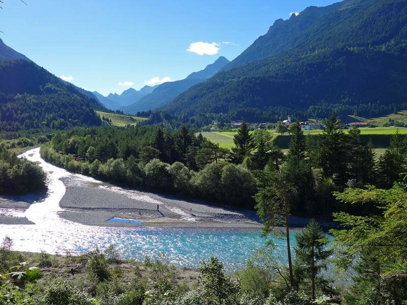
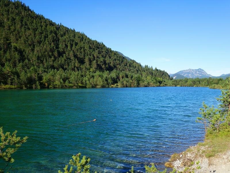
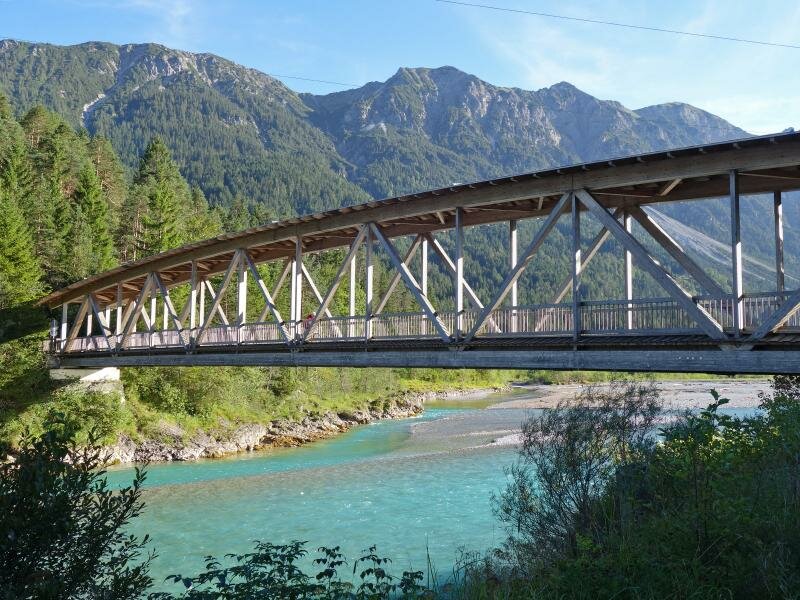
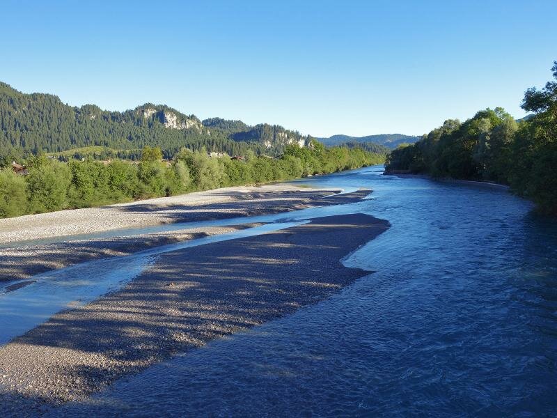
After Elmen, the Lech Cycle Route follows a gravel road uphill. From the highest point you enjoy a wonderful view on the junction of the Hornbach Valley near Vorderhornbach, and on the beautiful water meadow at the mouth of the Hornbach river. Via Stanzach and Forchach, the cycle path continues to Weissenbach am Lech: This section is particularly beautiful for its protected natural landscape along the Lech, the last wild river of the Northern Alps. Gravel and broken stone embankments and small islands as well as a water meadow form a unique landscape and habitat for rare animal and plant species, protected as Tiroler Lech Nature Park. A few km downstream there's Reutte, the main settlement of the Lechtal valley and destination of the Lech Cycle Route. From here, you can continue along the famous Via Claudia Augusta Cycle Route.
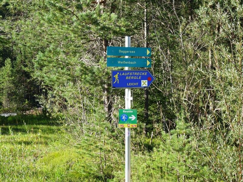
Connection to other cycle routes in Tyrol:
- at Reutte: Via Claudia Augusta Cycle Route towards the Fern Pass
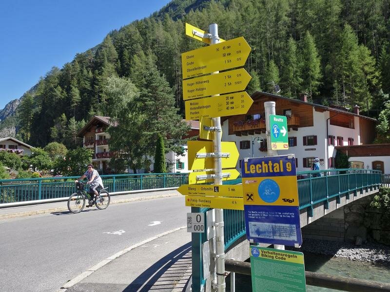
- at Reutte: Lech Cycle Route R9 to Musau and Ranzental Cycle Route to Vils
- at Reutte: Zwischentoren Loisachtal Cycle Route (R7) to Lermoos
Attention: The described cycle routes are only sectionally cycle paths in the narrower sense. They often proceed on byroads where also car and tractor traffic is allowed. Please take care!
-
- Starting point:
- Steeg (1,120 m a.s.l.)
-
- Overall time:
- 03:40 h
-
- Total route length:
- 52,6 km
-
- Altitude:
- from 844 m to 1.121 m
-
- Altitude difference (uphill | downhill):
- +42 m | -321 m
-
- Signposts:
- Lech Radweg R9 (Lechweg)
-
- Destination:
- Reutte (850 m a.s.l.)
-
- Track surface:
- 33 km asphalted cycle paths, 19 km gravelled paths
-
- Recommended time of year:
- Jan Feb Mar Apr May Jun Jul Aug Sep Oct Nov Dec
-
- Download GPX track:
- Lech Cycle Route