The Oetztal MTB Trail, or Oetztal Cycle Route, connects Haiming with Sölden in the rear Oetztal valley, and leads up to the Timmelsjoch
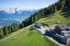
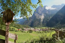
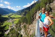
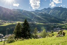
Image gallery: Oetztal Cycle Route
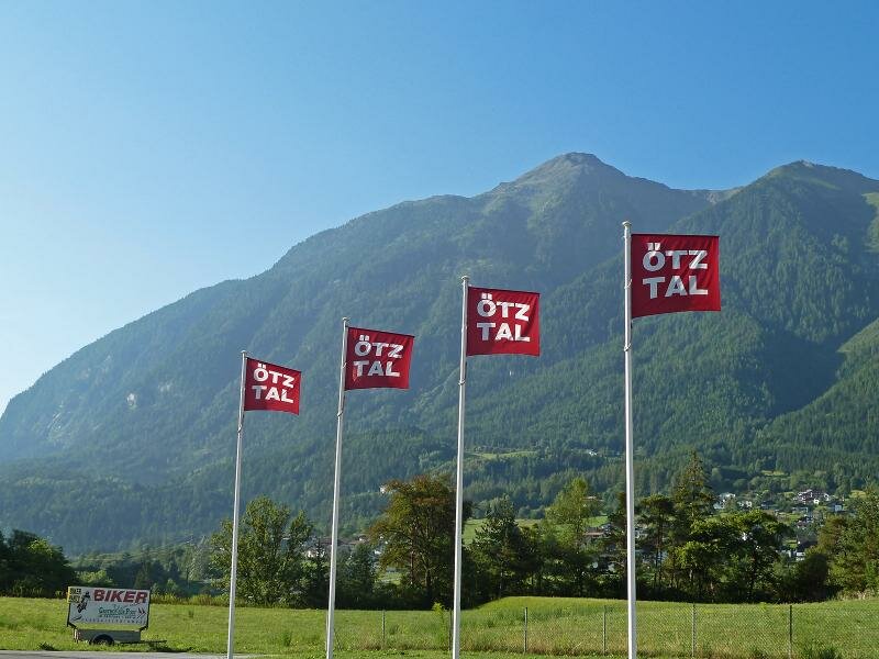
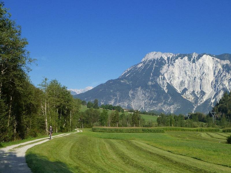
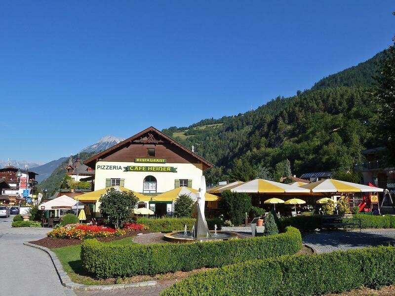

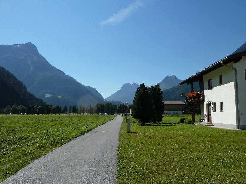
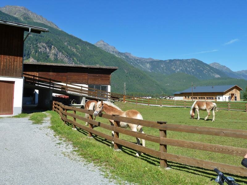
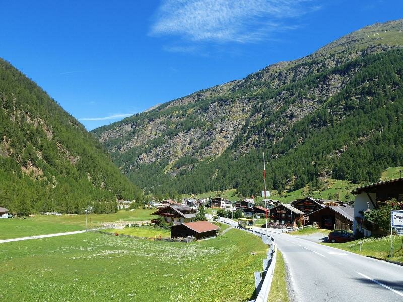
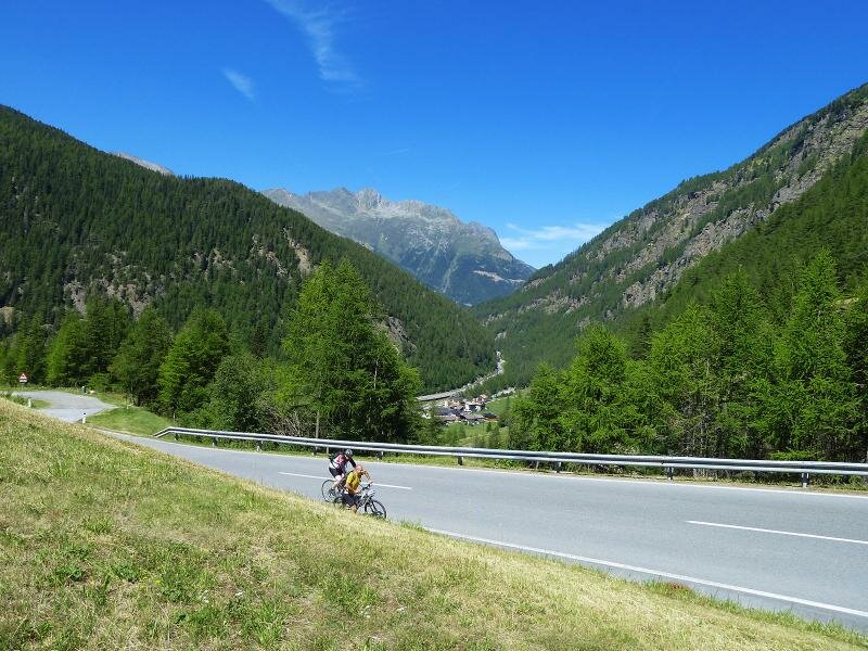
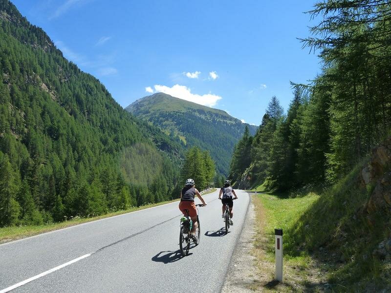
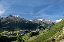
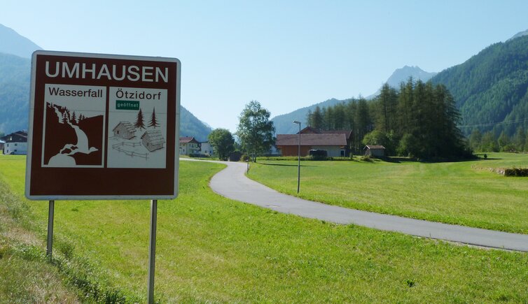
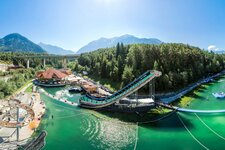
Not without reason, the Oetztal valley is one of the top bike destinations, not only for mountain bikers but also for racing cyclists, who measure their performance every year in late summer at the Oetztal Cycle Marathon across four alpine passes. The R11 Cycle Route through the Oetztal valley, which we present here, is more leisurely. It starts west of Haiming, near Schlierenzau. It crosses the Inn river and leads to the village of Oetztal Bahnhof, and from there along gravel paths until the mouth of the Oetztal Ache stream. Passing the Area 47, the route proceeds to Sautens after a few kilometres, the first village in the lower Oetztal valley. On the western side of the valley, it continues through meadows and woods past Oetz to Tumpen and Umhausen.
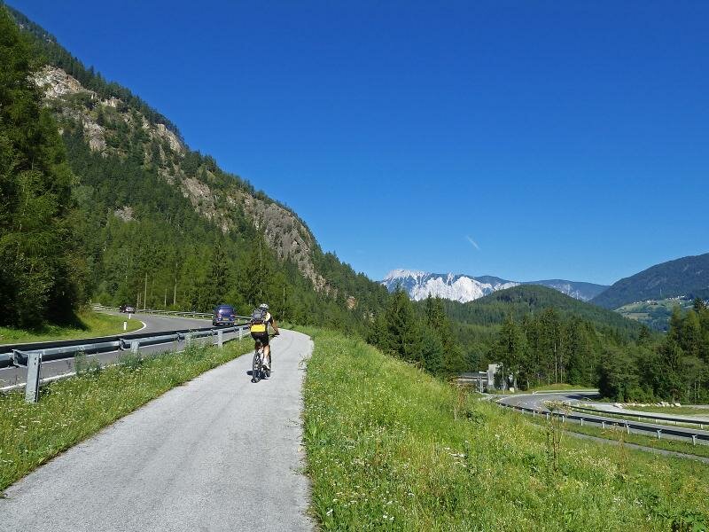
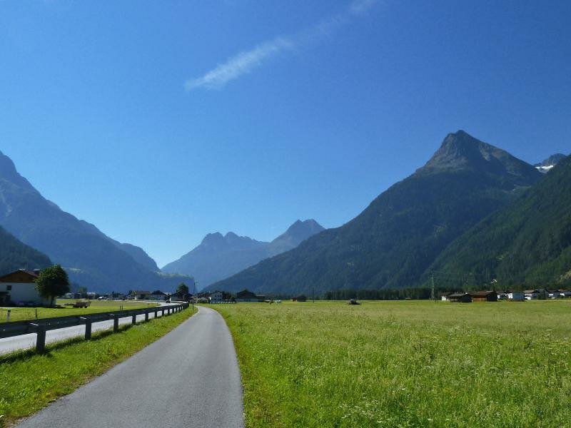
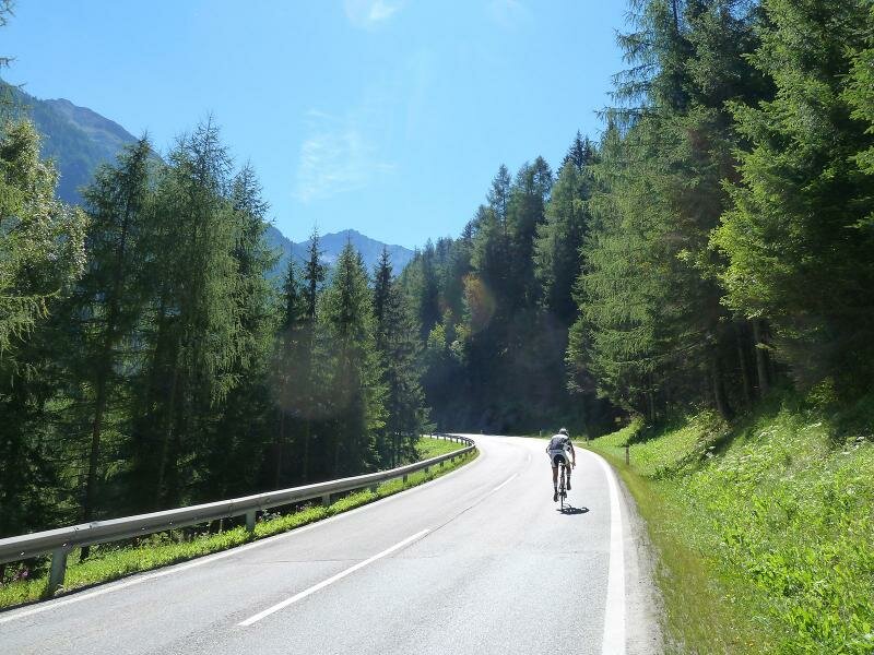
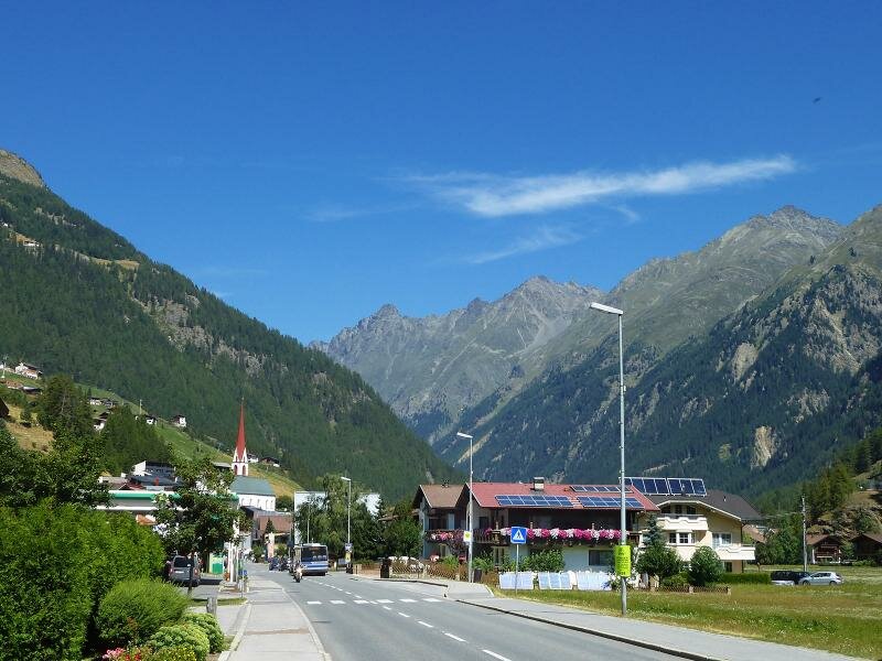
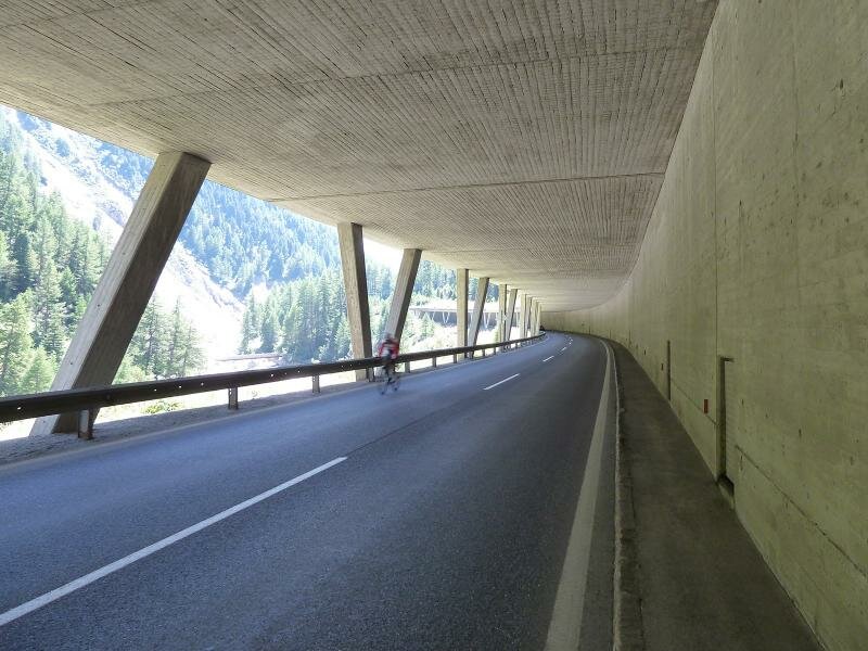
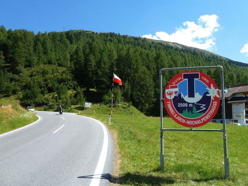
The narrow valley makes it necessary that the following section runs on the state road - near Winkeln, the Oetztal Cycle Route (Ötztal Radweg) continues again on dirt roads to Längenfeld and Huben. Sölden is the next destination, and this is also the end of the actual cycle path. What the R11 Route offers afterwards, is a crisp MTB route up to the Gaislach Mountain Hut - 600 m of altitude difference on 7.5 km. This is followed by a rapid descent towards Zwieselstein, from there the route proceeds on the Gurgl road and gravel paths up to Obergurgl, and further on to the Langtalereck Mountain Hut at 2,480 m a.s.l. (another 1,000 m uphill). Alternatively, from Sölden and Obergurgl you can also reach the 2,509 m high Timmelsjoch pass via the high alpine road.
Connection to other cycle routes in Tyrol:
- at Schlierenzau: Inn Cycle Route - Tiroler Oberland R1
- at Oetz: state road L237 to Kühtai/Sellrain (route for racing cycles)
- at Sölden: MTB routes and road to Obergurgl resp. over the Timmelsjoch pass
Attention: The described cycle routes are only sectionally cycle paths in the narrower sense. They often proceed on byroads where also car and tractor traffic is allowed. Please take care!
-
- Starting point:
- Oetztal Bahnhof (670 m a.s.l.)
-
- Overall time:
- 04:30 h
-
- Total route length:
- 47,4 km
-
- Altitude:
- from 676 m to 1.364 m
-
- Altitude difference (uphill | downhill):
- +767 m | -87 m
-
- Signposts:
- Oetztal Mountain Bike Trail, R11
-
- Destination:
- Sölden (1,385 m a.s.l.)
-
- Recommended time of year:
- Jan Feb Mar Apr May Jun Jul Aug Sep Oct Nov Dec
-
- Download GPX track:
- Oetztal Cycle Route


.jpg)