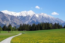
The Iseltal Cycle Path, an insider tip, connects the area beneath the Lienz Dolomites with the villages in the High Tauern National Park
Image gallery: Iseltal Cycle Route
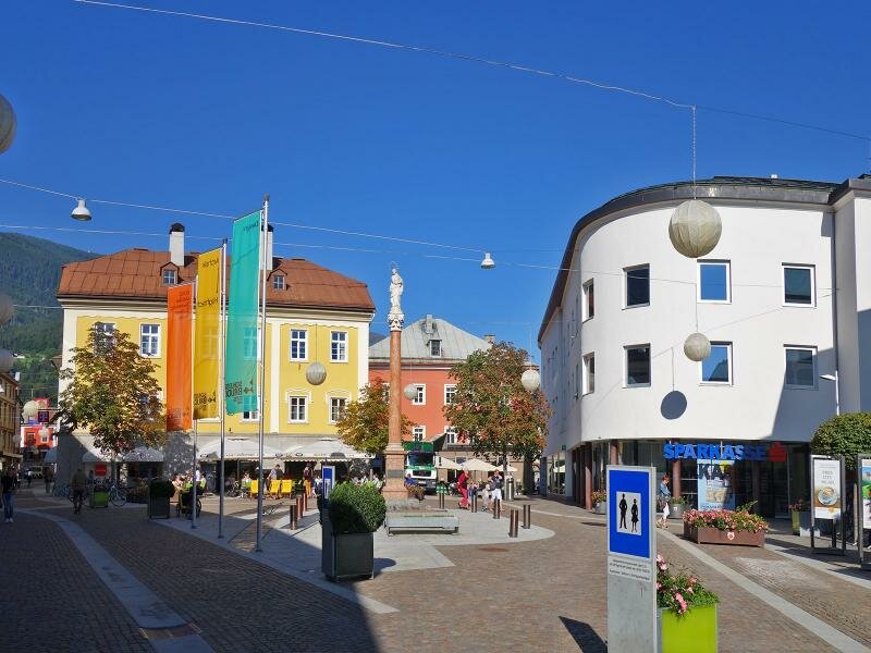
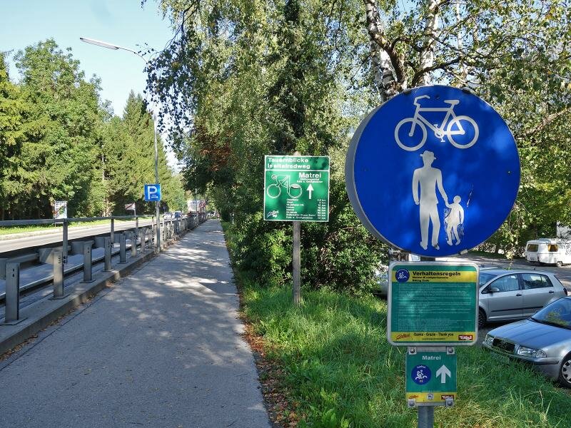
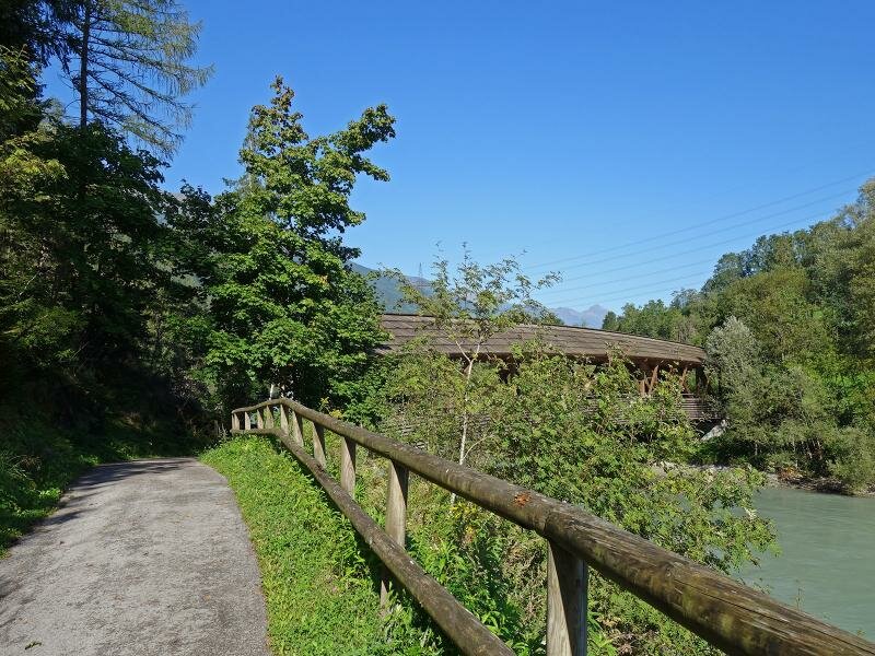
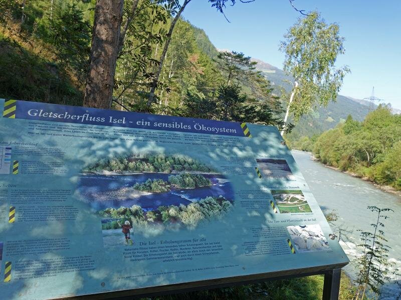
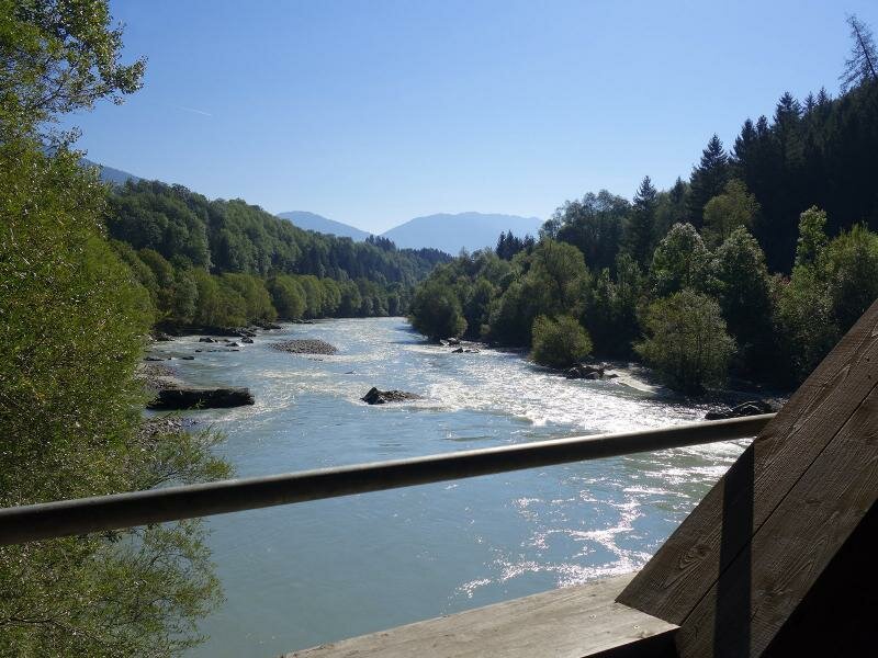
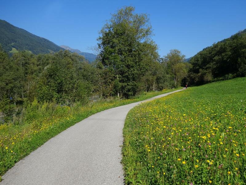
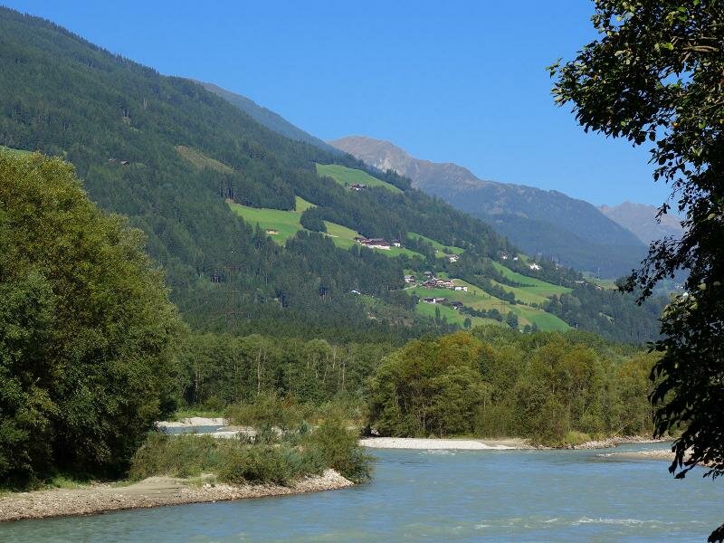
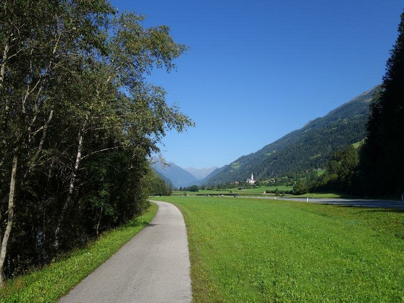
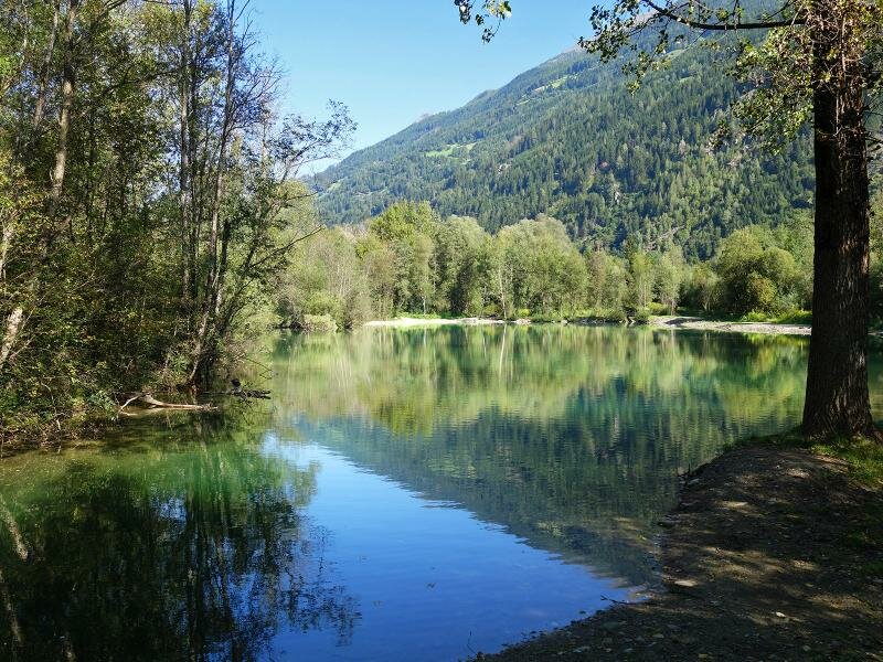
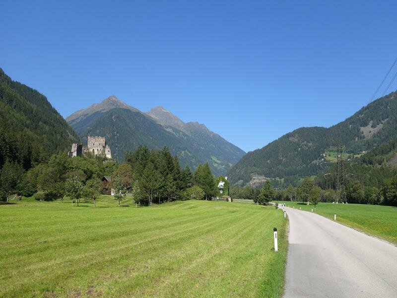
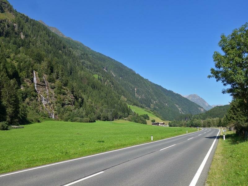
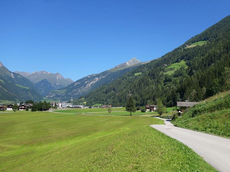
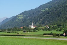
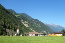
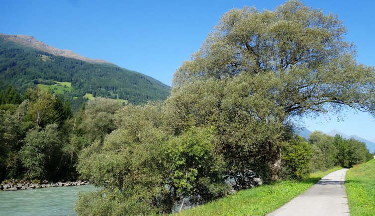
The Isel river drains the Tyrolean part of the Tauern Mountains. Those who start in the centre of Lienz and follow the Iseltal Cycle Route (Iseltal Radweg) at Bruck Castle, soon reach the banks of the Isel river and will see, that it transports even more water than the Drava, whose tributary it is. Between meadows and forest it passes Oberlienz and Ainet, and reaches St. Johann im Walde. Here, the cycle route is interrupted: You have to cross a bridge to the west side of the river. Via the Kienburg road, a side road with little traffic, the path comfortably leads to Huben. In the little village, the Felbertauern road, the Defereggental road to the Stalle Pass to Italy, and the Kalser state road which leads to the foot of Mt. Grossglockner are crossing.
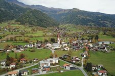
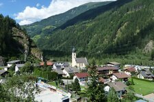
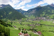
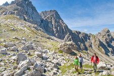
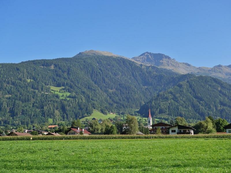
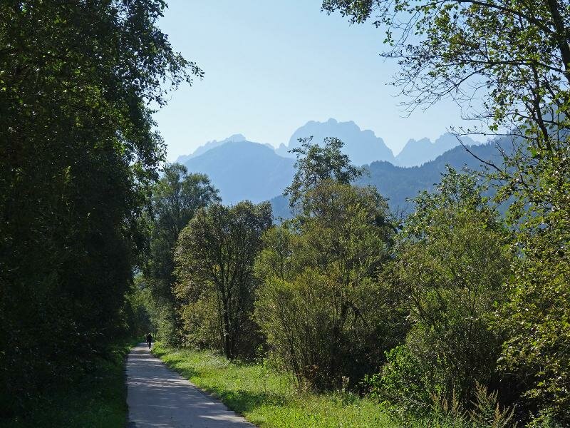
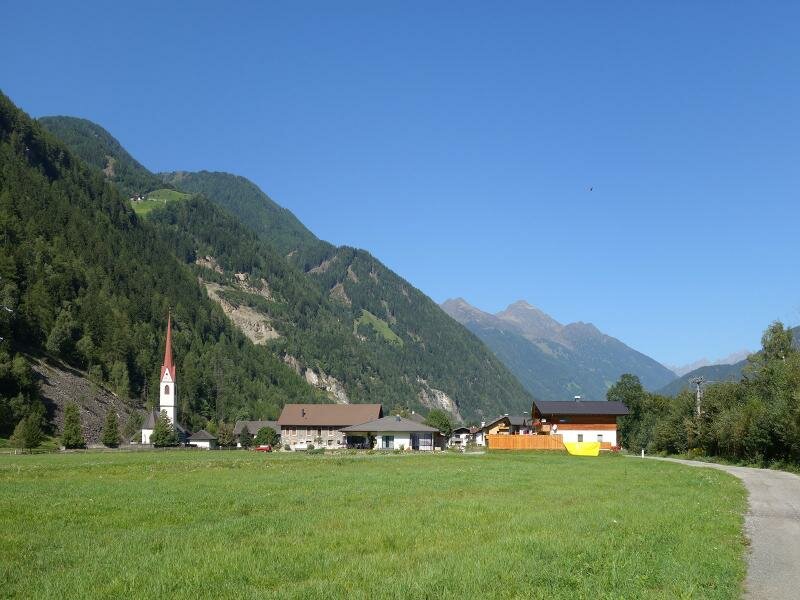
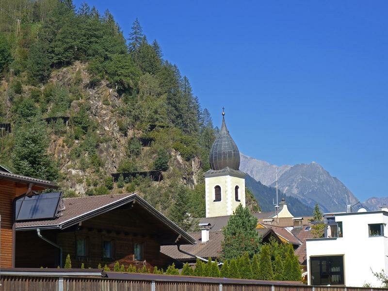
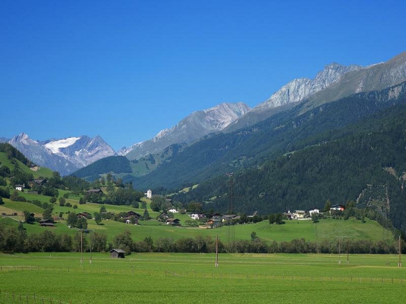
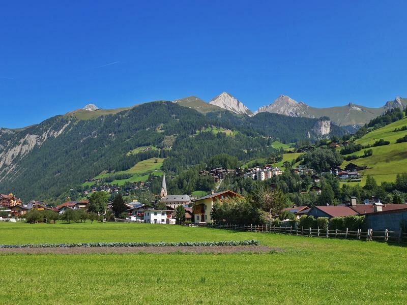
The Iseltal Cycle Route, however, leads via the hamlets of Mattersberg and Feld towards north. In a slightly elevated position above the valley floor it continues through a wooded area and then - slightly downhill - into the wide green valley basin of Matrei in Osttirol. The village in the High Tauern National Park is the end point of the Iseltal Cycle Road - the last km to the village centre has to be done on the B108 road. Those who want to extend the cycle tour can cycle from here into the Virgental valley or towards the Felbertauern Pass, e.g. into the Gschlösstal valley.
Connection to other cycle routes in Tyrol:
- in Lienz: Drava Cycle Route R1 towards San Candido (Italy) resp. Oberdrauburg (Carinthia)
- in Matrei in Osttirol: MTB routes into the Virgental valley and the surrounding alpine world
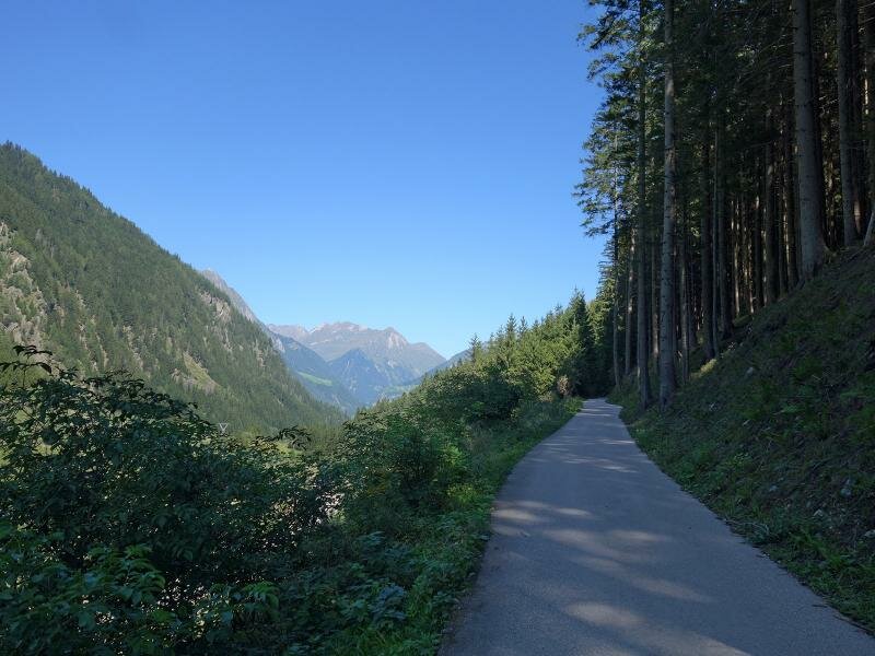
Attention: The described cycle routes are only sectionally cycle paths in the narrower sense. They often proceed on byroads where also car and tractor traffic is allowed. Please take care!
-
- Starting point:
- Lienz (675 m a.s.l.)
-
- Overall time:
- 02:00 h
-
- Total route length:
- 28,7 km
-
- Altitude:
- from 673 m to 987 m
-
- Altitude difference (uphill | downhill):
- +337 m | -51 m
-
- Signposts:
- Iseltal Radweg, R22
-
- Destination:
- Matrei in Osttirol (980 m a.s.l.)
-
- Track surface:
- about 11 km gravel path, the rest on asphalt
-
- Recommended time of year:
- Jan Feb Mar Apr May Jun Jul Aug Sep Oct Nov Dec
-
- Download GPX track:
- Iseltal Cycle Route