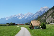
The hamlet Kronburg with the Mary Help of Christians Pilgrimage Church and the castle ruin is located directly at the Way of St. James
Image gallery: Zams

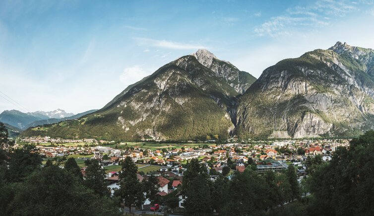
Altitude: 767 m a.s.l.
Zams is located in sheltered position in a valley basin close to the town of Landeck and has been an important junction for a long time already: This is the place, where the roads from the Italian Val Venosta valley, the Swiss Engadine, the German Bavaria and the area of Lake Constance join. The emblem of the village is the free standing steeple which survived the fire of 1911, while the St. Andreas Church next to it was destroyed and rebuilt 50 metres away.
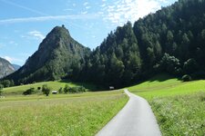
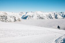
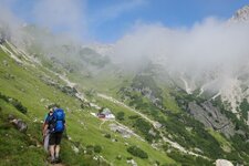
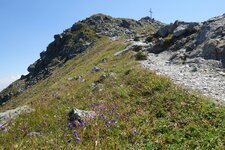
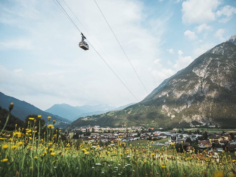
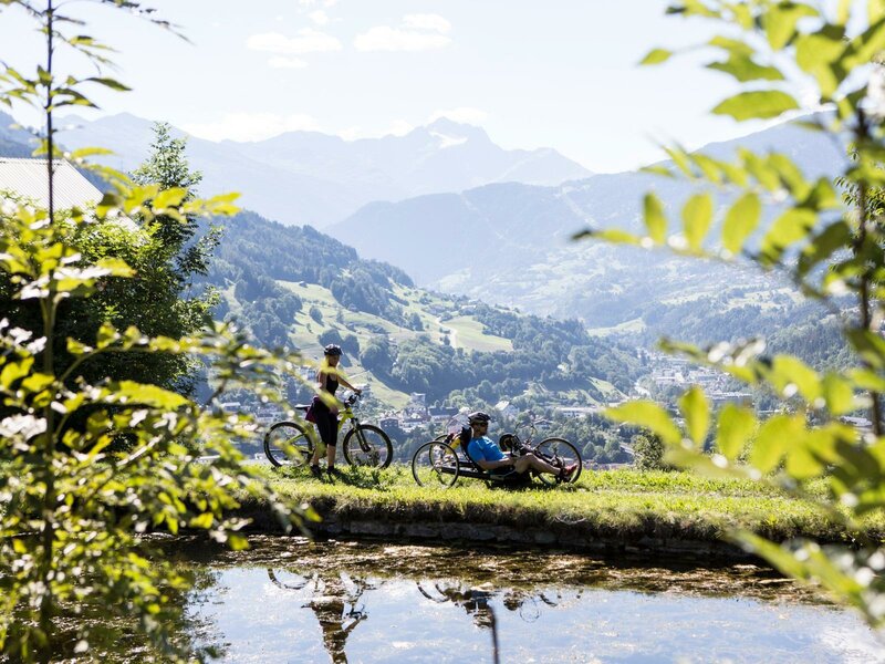
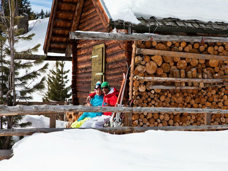
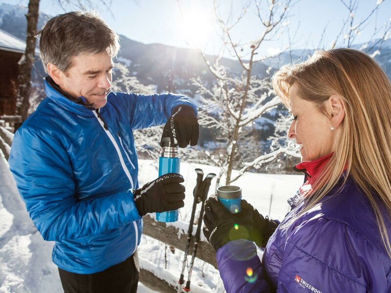
In summer, the Venet Cable Car takes you comfortably into the hiking area of the Venet Massif with its main peak called Krahberg (Crow Mountain). If you prefer longer hikes, the Lechtal High Route, one of the most beautiful alpine paths in the Eastern Alps, as well as the European long-distance hiking trail E5 take past Zams. Via the Memminger Mountain Hut and the Zams Gorge, it brings hikers directly down into the village, a popular place to stop at.
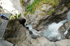
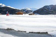
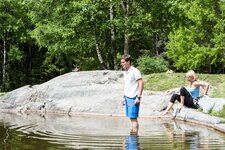
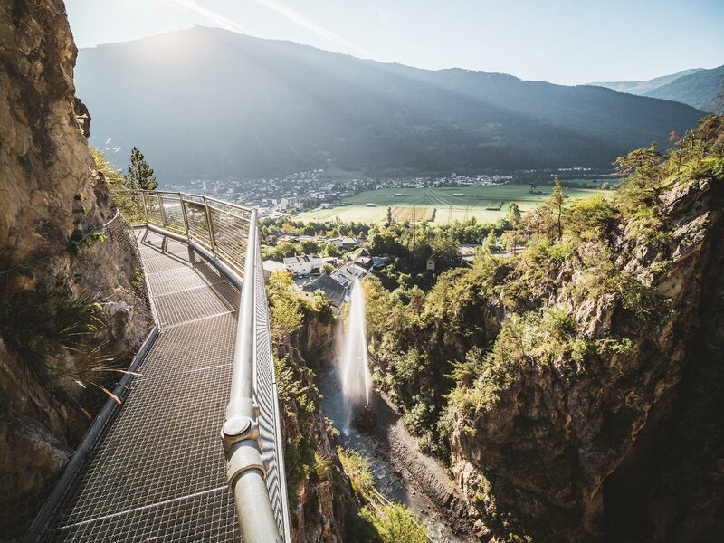
Zams lends its name to the eponymous gorge which enables you to experience the power of water on a theme trail. In the component locality of Lötz, however, there are still ancient irrigation canals called "Waale", that originally served for irrigating the meadows and fields in the area. Also in sports, water has an important role to play at Zams, as wild water sports such as kayaking, rafting and canyoning are particularly popular. In winter, the mountains turn into the Venet Skiing Area.