This cycle route connects on forest paths and side roads the Inn Valley near Jenbach/Wiesing with beautiful Lake Achensee
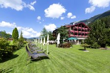
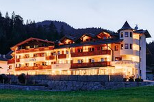
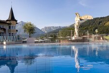
Image gallery: Achensee Cycle Route
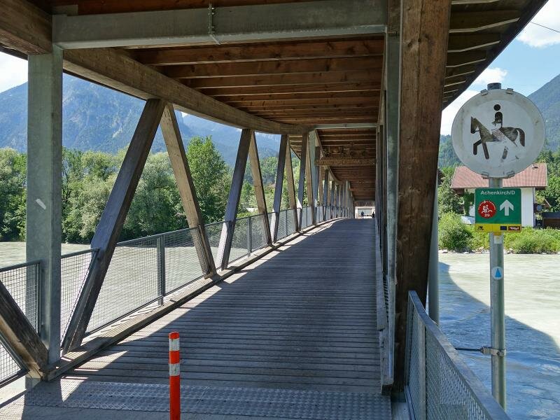
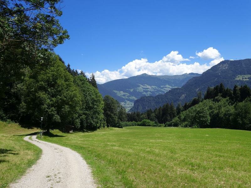
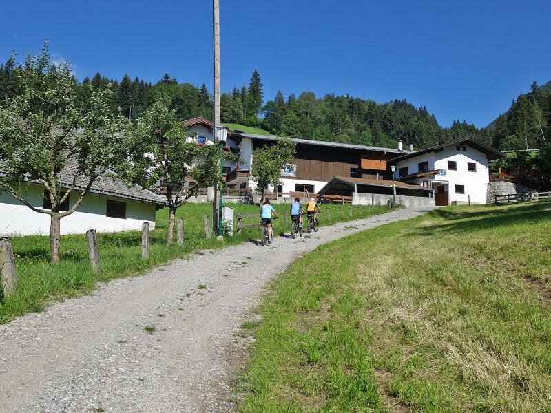
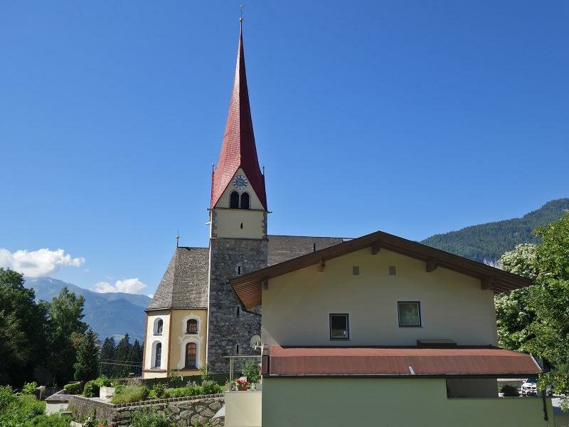
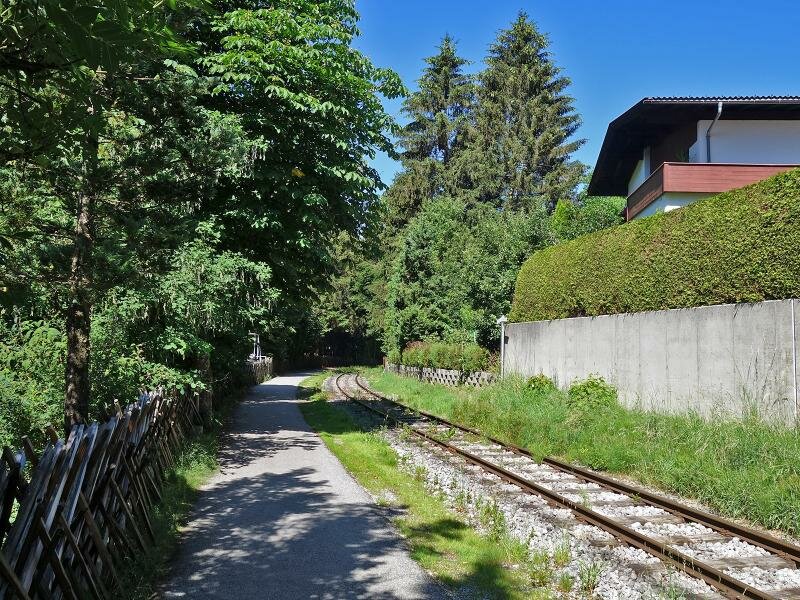
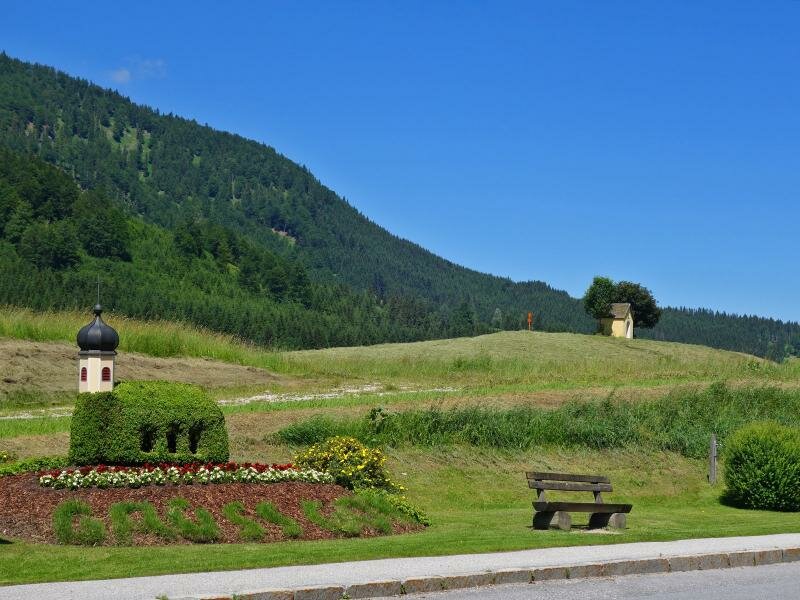
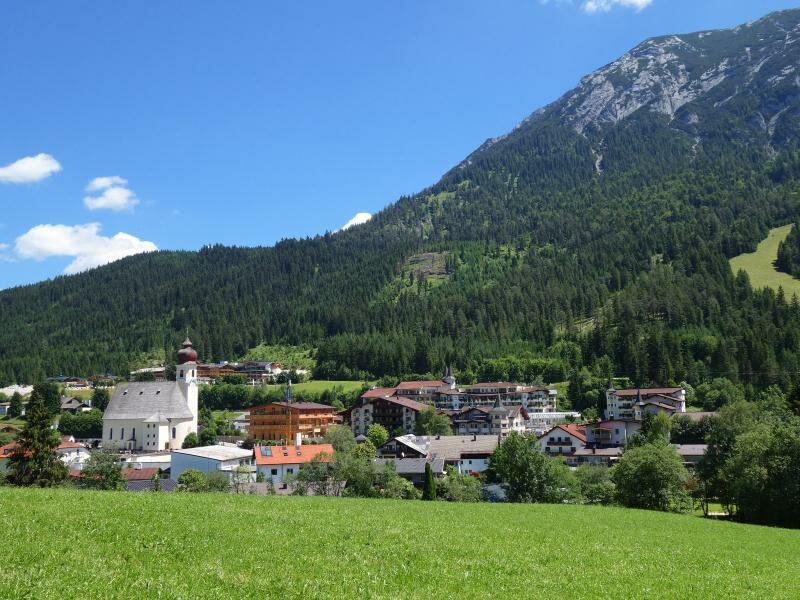
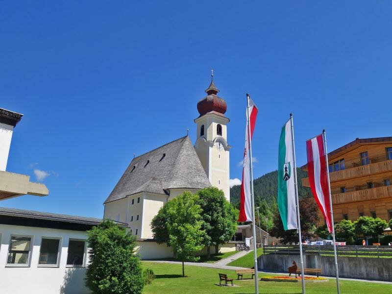
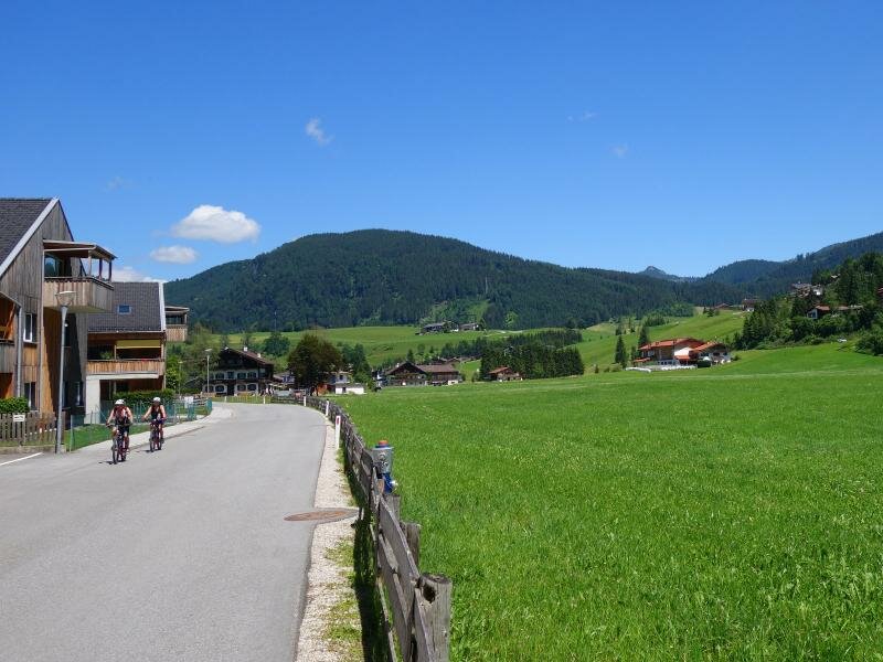
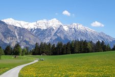
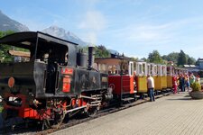
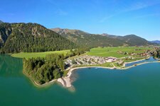
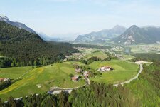
The Achensee Cycle Route (Achensee Radweg) is part of the VBT (Via Bavarica Tirolensis) and the route from Munich to Venice. But even on its own it is a great opportunity to spend a varied cycling day in the Achental valley. At Jenbach it crosses a bridge on the bank of the Inn river and leads to Wiesing. There the first and only relevant ascent of the cycle route into the Achental valley starts. Passing the north-west located village district of Erlach it goes uphill through the forest to 970 m a.s.l. After numerous serpentines, the gravelled road reaches Eben am Achensee. Partly on asphalted byways, partly at the edge of the Lake Achensee Railway line, the route leads further across the meadows of Maurach up to the shore of Lake Achensee near Seespitz.
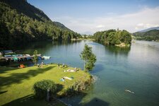
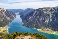
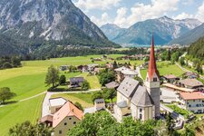
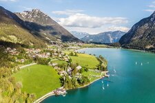
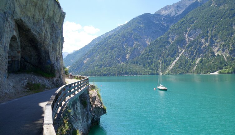
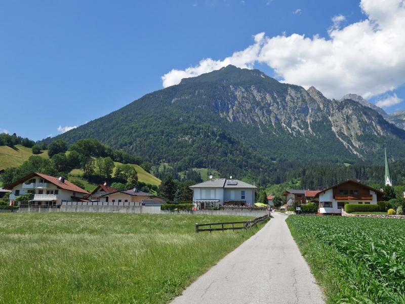
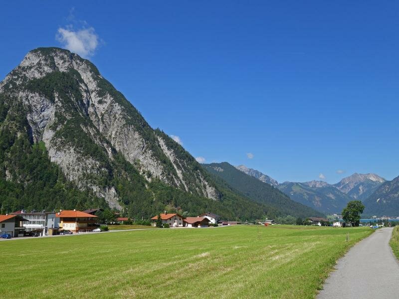
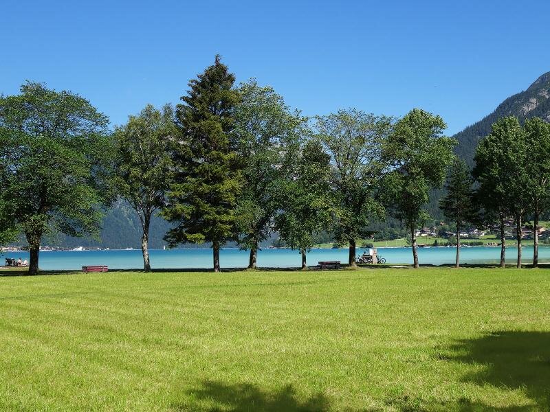
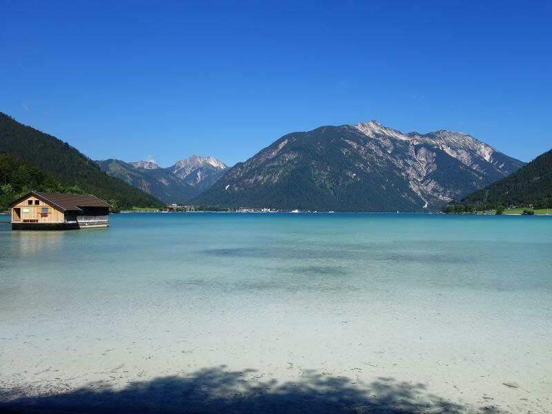
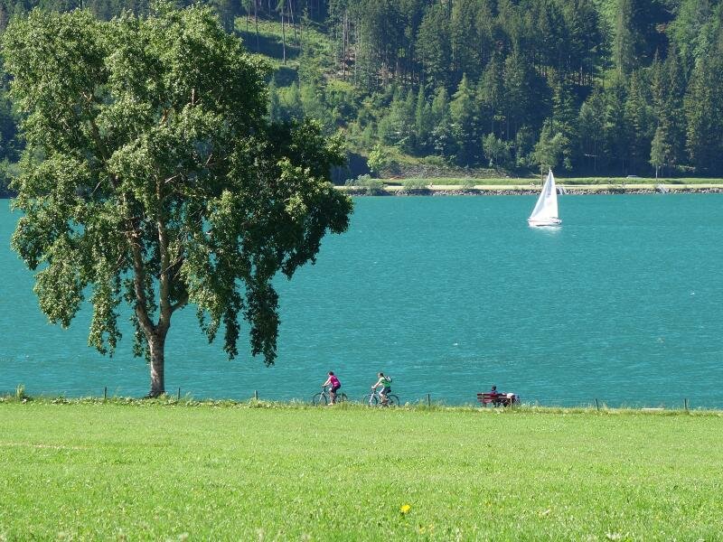
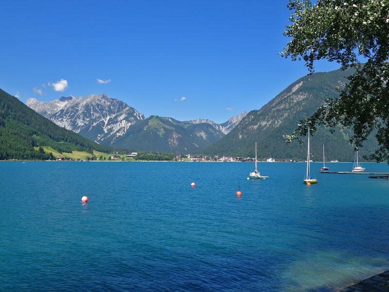
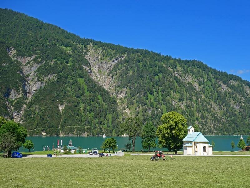
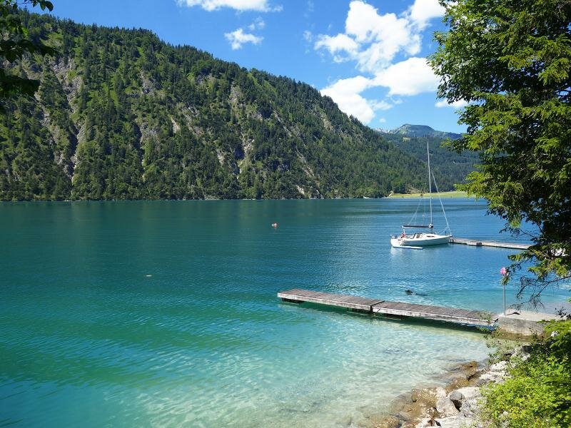
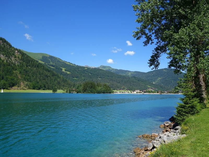
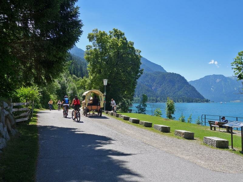
Lake Achensee, which is bypassed on the eastern side, accompanies the cycle route for about 10 km. Again and again it attracts attention and invites to linger at small beaches and viewpoints. Arrived on the northern bank, it follows byroads to Achenkirch. If you want to cycle further, you reach Achenwald via forest roads (just before the village you have to ascend another 60 m). The last 4 km to the German border it follows the B181 A-Road. From there you can reach Lake Tegernsee via the Achen Pass, or Lake Sylvenstein via the Walchental valley, where there is a connection to the Isar Cycle Route. Apart from the demanding ascent at the beginning, the Achensee Cycle Route can be defined as a leisurely excursion route, suitable also for families.
Connection to other cycle routes in Tyrol:
- at Jenbach: Inn Cycle Route - Tiroler Unterland R2 to Innsbruck resp. Kufstein)
- at Maurach, Achenkirch and Achenwald: MTB routes to the Karwendel and Rofan Mountains
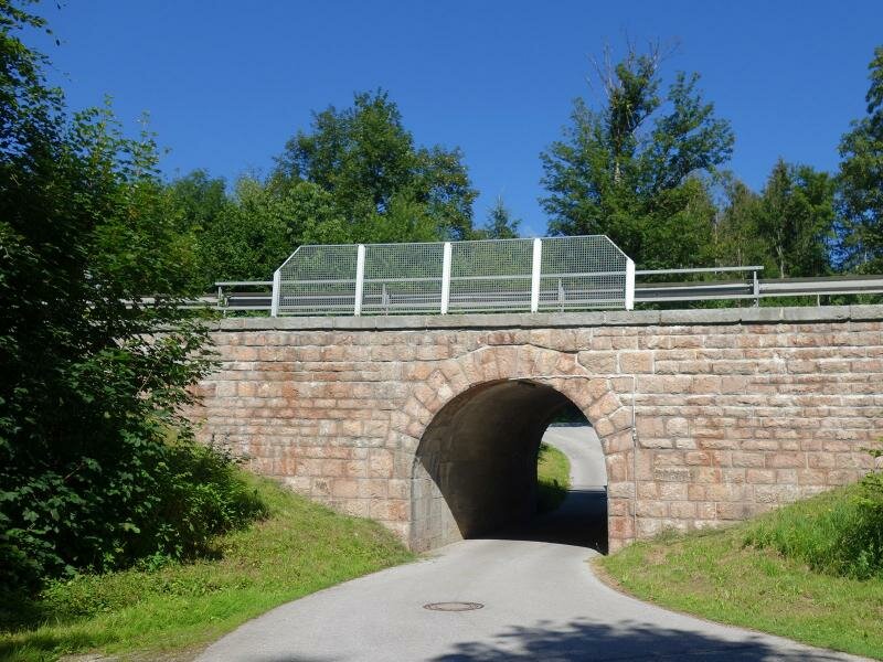
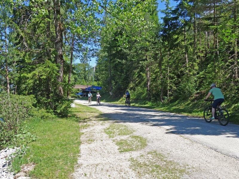
Attention: The described cycle routes are only sectionally cycle paths in the narrower sense. They often proceed on byroads where also car and tractor traffic is allowed. Please take care!
-
- Starting point:
- Jenbach (525 m a.s.l.)
-
- Overall time:
- 03:00 h
-
- Total route length:
- 34,5 km
-
- Altitude:
- from 524 m to 973 m
-
- Altitude difference (uphill | downhill):
- +580 m | -219 m
-
- Signposts:
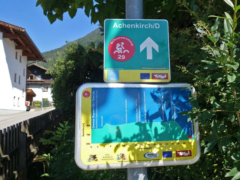
- Radroute Achensee, R29, VBT
-
- Destination:
- Achenwald (973 m a.s.l.)
-
- Track surface:
- partly asphalted cycle path and byroads, about 7 km gravelled paths
-
- Recommended time of year:
- Jan Feb Mar Apr May Jun Jul Aug Sep Oct Nov Dec
-
- Download GPX track:
- Achensee Cycle Route