The Gurgltal Cycle Route, a section of the Via Claudia Augusta Route, leads from south of Imst through the Gurgltal valley to Nassereith
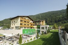
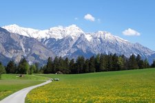
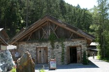
Image gallery: Gurgltal Cycle Route
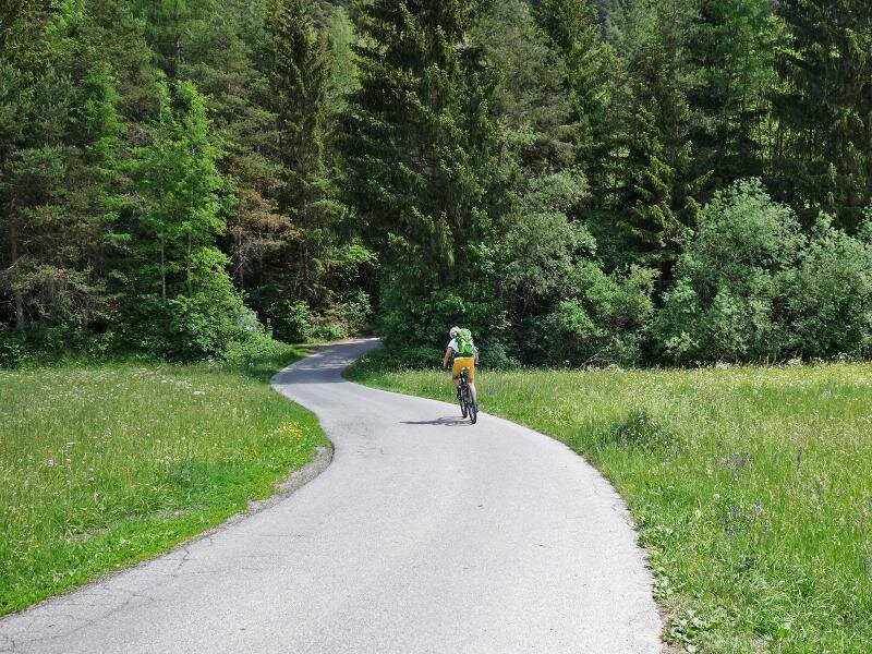
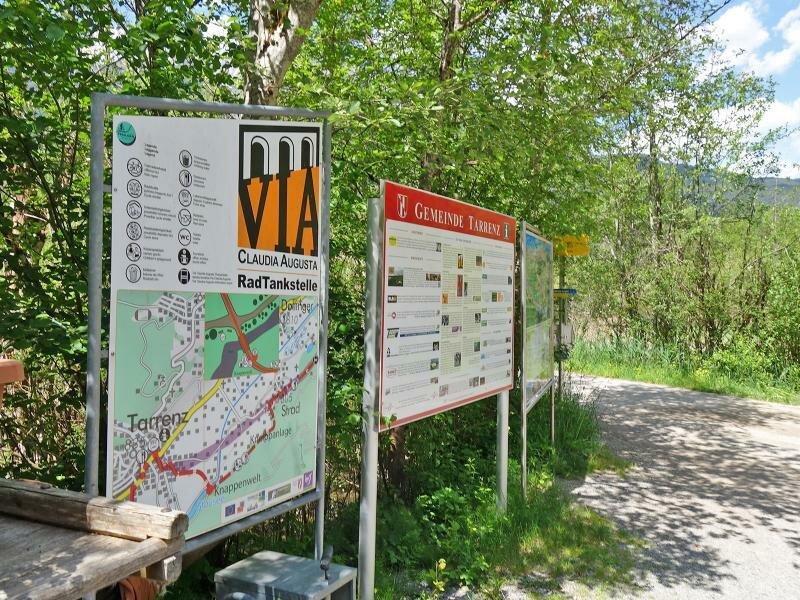
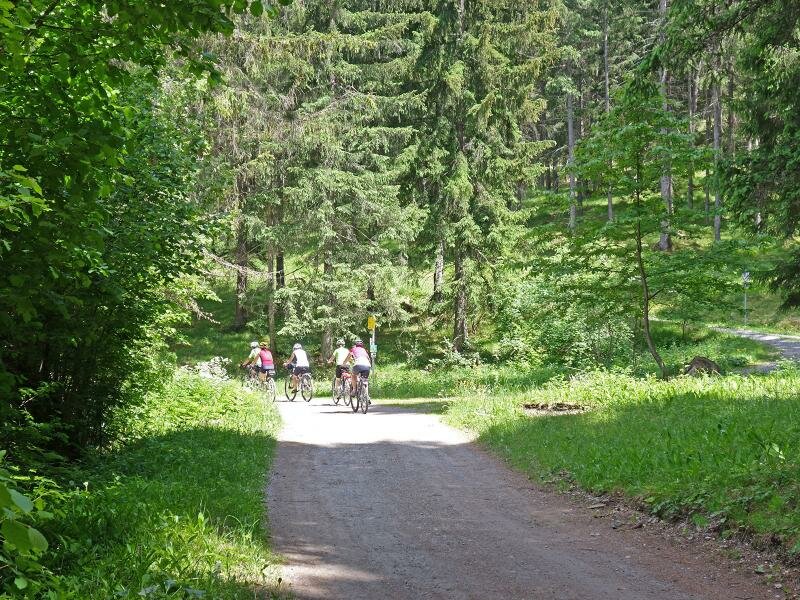
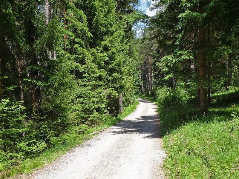
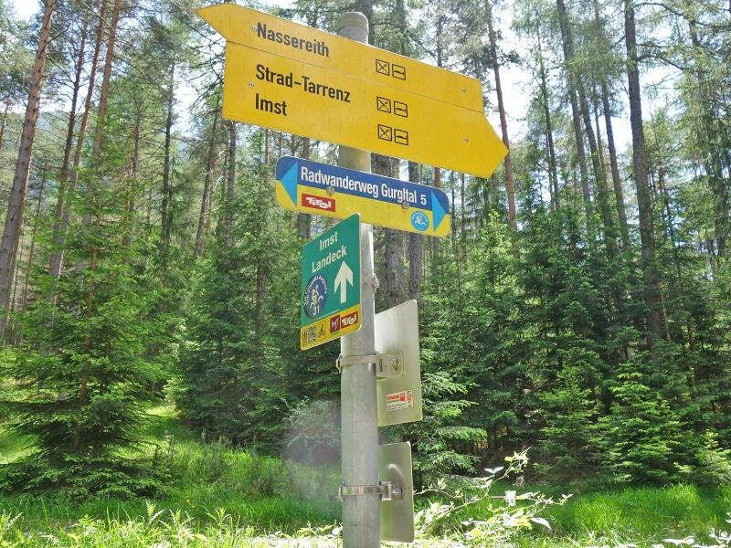
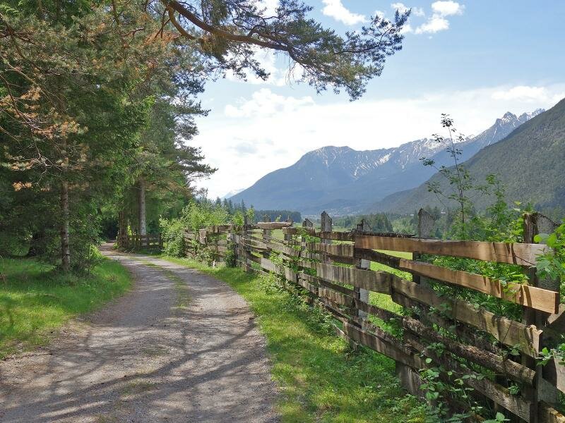
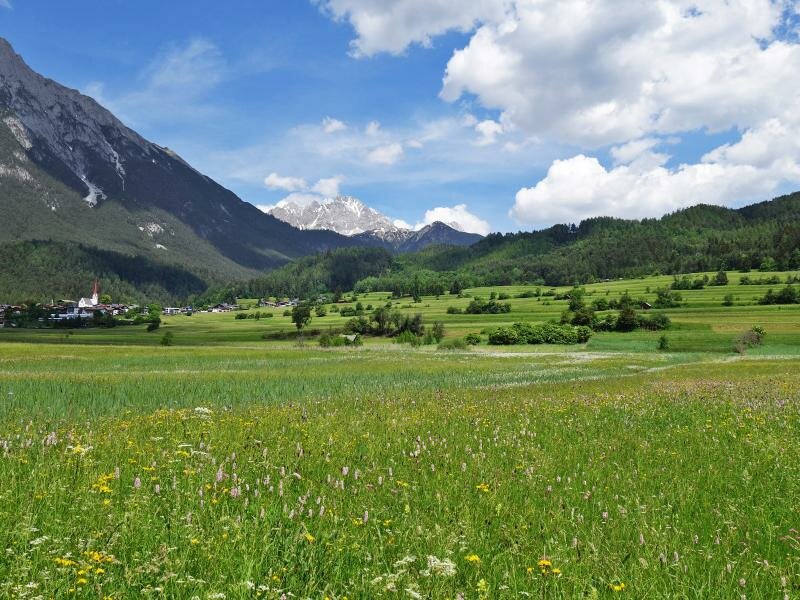
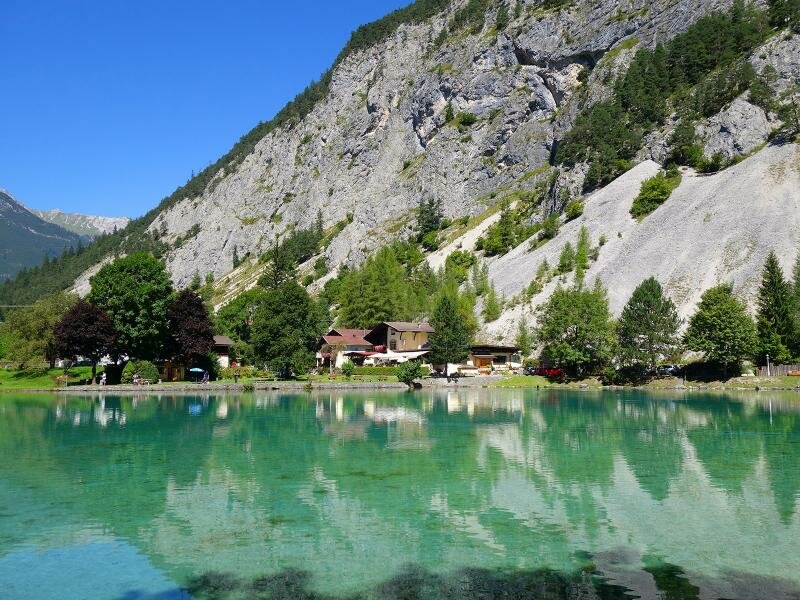
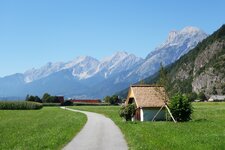
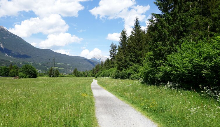
The cycle path through the Gurgltal valley is one of the more leisurely sections of the Via Claudia Augusta. It proceeds mainly through the forest at the edge of the valley, is perfectly integrated into the Tyrolean cycle path network, and offers connections to other cycle routes in the south and in the north. South of Imst, the route branches off from the Inn Cycle Route into the Gurgltal valley. It is 15 km long: On the first 1,5 km we pass the motorway junction towards the industrial area in the Fabrikstrasse road, but shortly afterwards we find ourselves in the beautiful landscape of the Gurgltal valley. Through meadows and at the edge of the forest we follow the course of the Gurglbach brook slightly uphill to the turn off to Tarrenz and the Mining Museum Gurgltal.
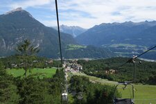
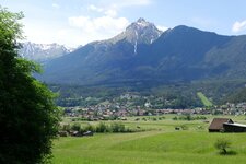
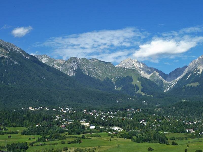
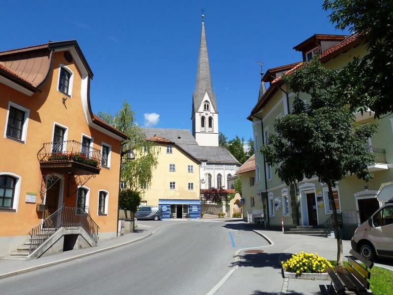
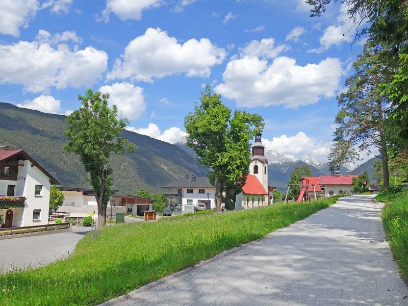
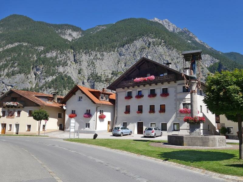
Via the district of Strad we reach the next section. About 1.5 km before Nassereith the path leaves the forest, and continues on dirt and side roads to the village centre. The Gurgltal Cycle Route can be perfectly combined with the Mieming Cycle Route R4 to Telfs, making it a medium-difficult day tour (way back via the Inn Cycle Route). Our tip for leisurely cyclists: The trail R5 leads past Imst - the following route is recommended for those who want to make a side trip there. Following the signpost R31 resp. Via Claudia Augusta you will reach the pretty district capital at the foot of the Lechtal Alps via side roads (after about 1 km). From there, the route continues to Tarrenz where it meets the Gurgltal Cycle Route again. The detour to Imst costs about 100 additional m in altitude, and of course you have to plan enough time to take a leisurely look around the town.
- Train & Bike: Imst is reachable by train (train station Imst-Pitztal)
Connection to other cycle routes in Tyrol:
- in Imst south: Inn Cycle Route - Tiroler Oberland R1 towards Landeck or Inn Cycle Route - Tiroler Unterland R2 towards Innsbruck
- in Nassereith: Mieming Cycle Route R4 to Telfs
- in Nassereith: Via Claudia Augusta Cycle Route towards the Fern Pass
Attention: The described cycle routes are only sectionally cycle paths in the narrower sense. They often proceed on byroads where also car and tractor traffic is allowed. Please take care!
-
- Starting point:
- Imst south (715 m a.s.l.)
-
- Overall time:
- 01:00 h
-
- Total route length:
- 14,9 km
-
- Altitude:
- from 716 m to 854 m
-
- Altitude difference:
- +168 m | -53 m
-
- Signposts:
- Radwanderweg Gurgltal, R5
-
- Destination:
- Nassereith (830 m a.s.l.)
-
- Track surface:
- partly asphalted, mostly on gravel surface
-
- Recommended time of year:
- Jan Feb Mar Apr May Jun Jul Aug Sep Oct Nov Dec
-
- Download GPX track:
- Gurgltal Cycle Route