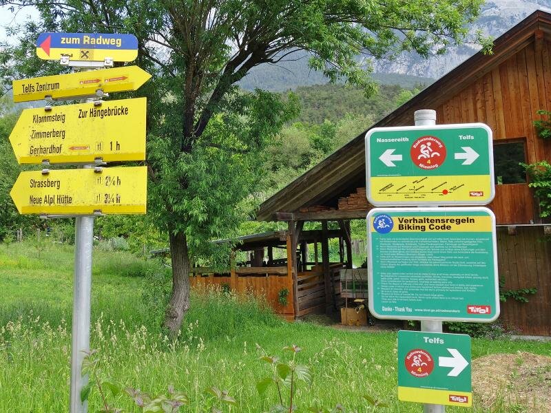
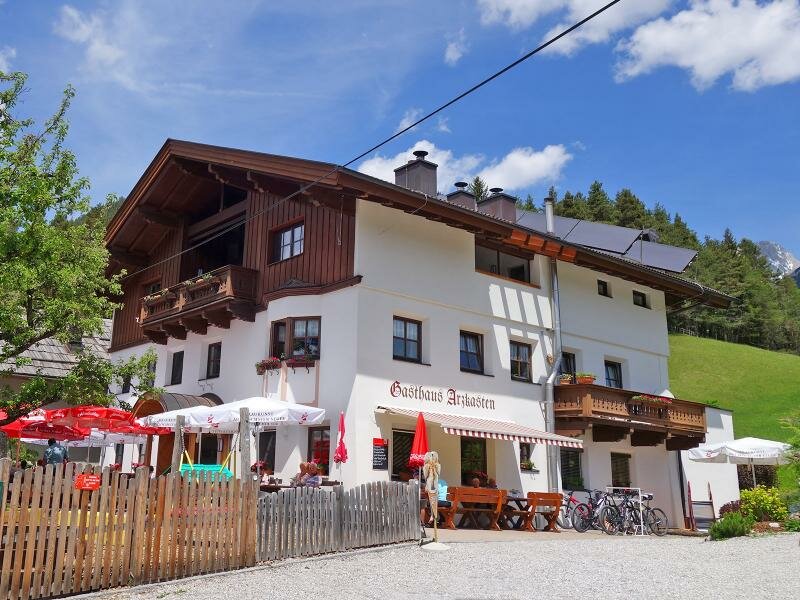
The R4 Cycle Route proceeds from Telfs across the Mieming Plateau up to the Arzkasten tavern, and from there down to Nassereith
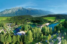
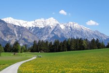
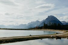
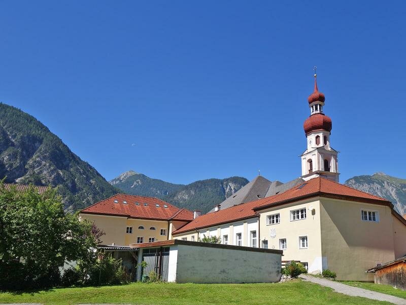
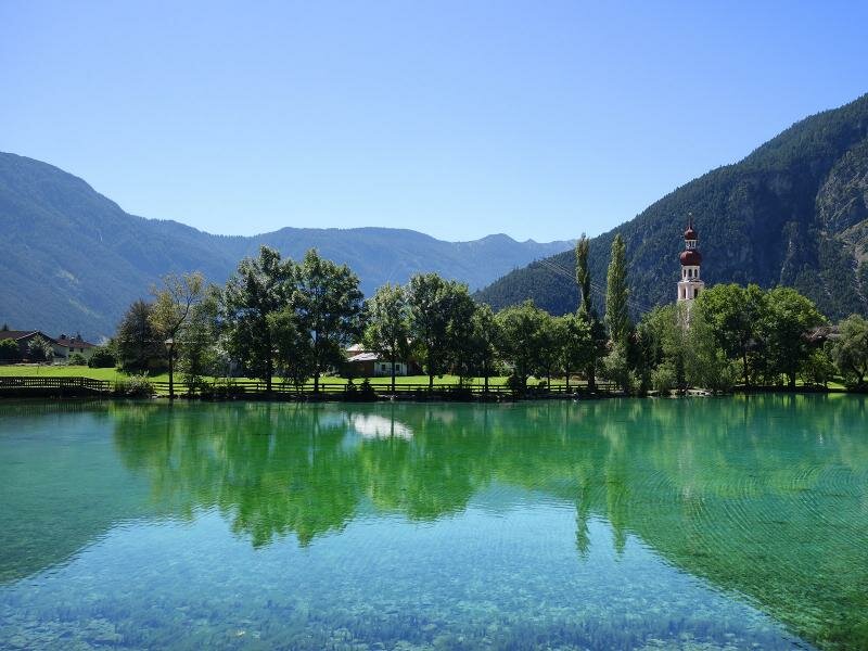
Image gallery: Mieming Cycle Route
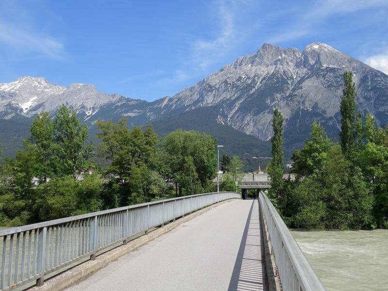
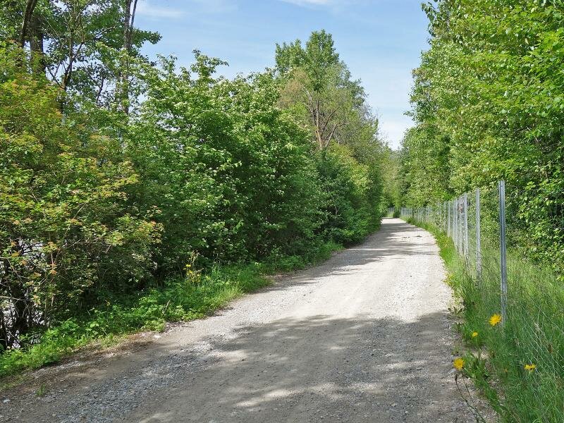
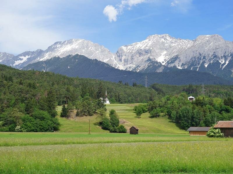
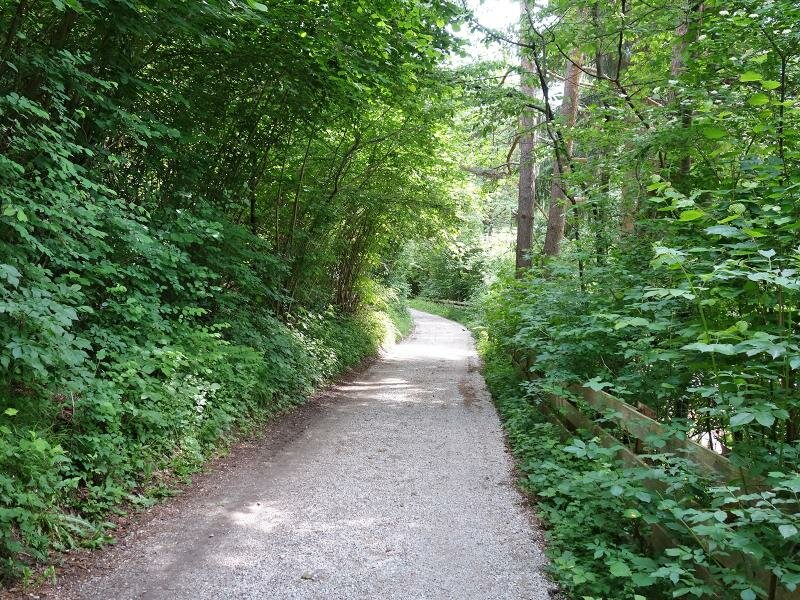
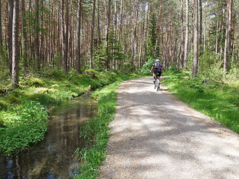

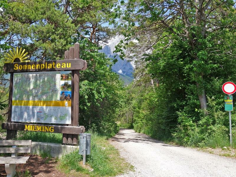
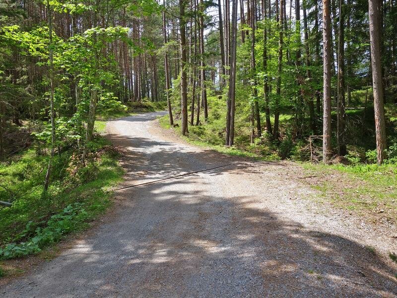
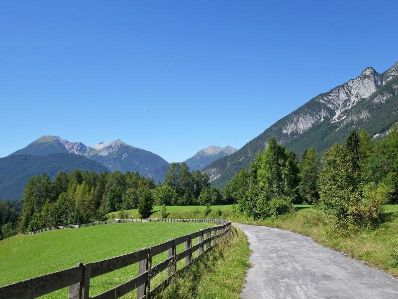
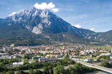
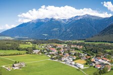
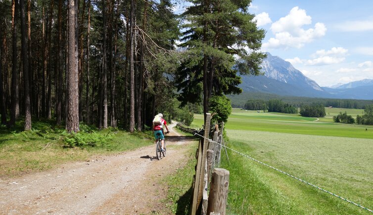
On the Inntal Cycle Path near Pfaffenhofen, the path crosses the bridge towards Telfs. Just on the northern bank of the Inn river, the 25 km long Mieming Cycle Route (Mieminger Radweg) branches off towards west. The gravel path runs first along the river, then it ascends through the forest to the higher districts of Telfs. At Lumma, the path continues further towards north, and above the "Südtiroler Siedlung" hamlet it follows the Püligtal valley up to Wildermieming (300 m in altitude). After that ascent, there's an almost flat section to Obermieming and Barwies.
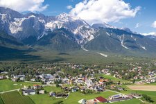
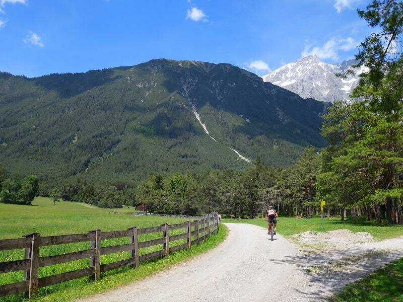
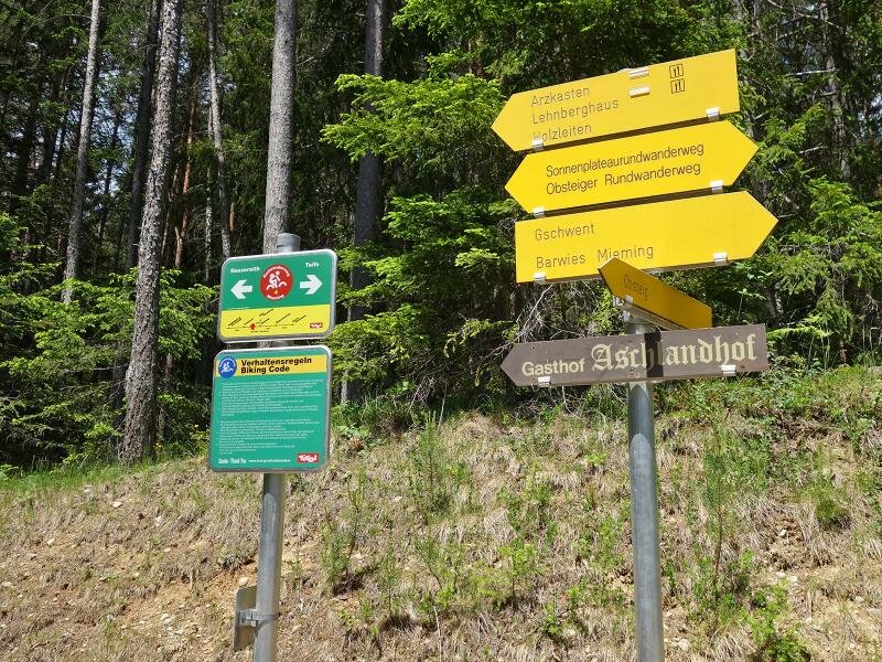
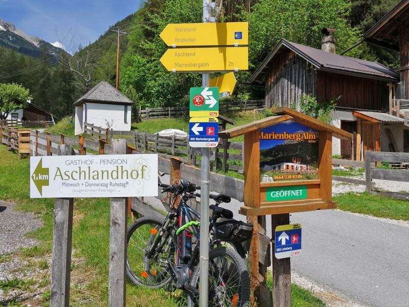
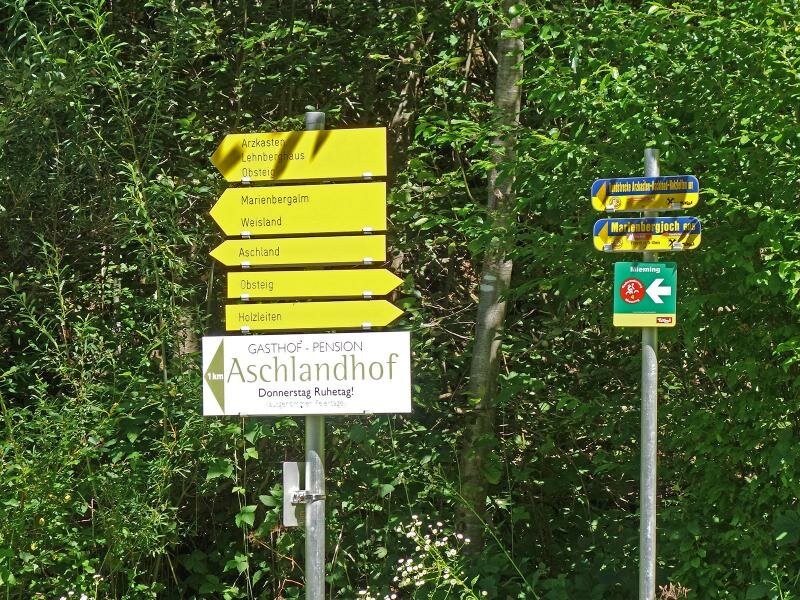
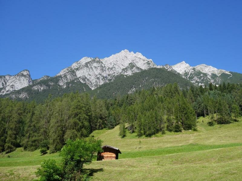
There the second ascent starts, mild at the beginning, then a little steeper. Passing Obsteig on the edge of the forest under the peaks of the Mieminger Chain, the route climbs up a bit more than 200 m to the Arzkasten mountain inn, the highest point of the cycle route at 1,160 m a.s.l. Here the descent starts - either via the main route to Aschland, or you take the variant via Holzleiten through the Rossbachtal valley to Dormitz and Nassereith. The village on the Fern Pass Route at 830 m a.s.l. is the end of the Mieming Cycle Route R4, which joins here the Via Claudia Augusta Cycle Route which leads either to the Fern Pass or through the Gurgltal valley to Imst.
- Train & Bike: starting point Telfs reachable by city train
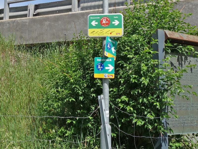
Connection to other cycle routes in Tyrol:
- in Telfs: Inntal Cycle Route - Tiroler Oberland R1 towards Landeck
- in Nassereith: Via Claudia Augusta Cycle Route towards Landeck (R5)
- in Nassereith: Via Claudia Augusta Cycle Route towards the Fern Pass (R31)
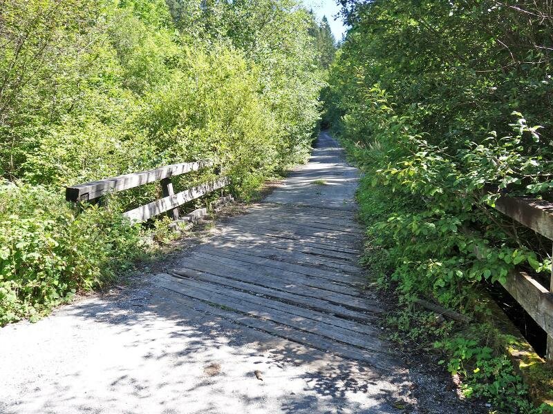
Attention: The described cycle routes are only sectionally cycle paths in the narrower sense. They often proceed on byroads where also car and tractor traffic is allowed. Please take care!
-
- Starting point:
- Pfaffenhofen (625 m a.s.l.)
-
- Overall time:
- 02:15 h
-
- Total route length:
- 26,6 km
-
- Altitude:
- from 621 m to 1.150 m
-
- Altitude difference (uphill | downhill):
- +648 m | -432 m
-
- Signposts:
- Radroute Mieming, R23
-
- Destination:
- Nassereith (830 m a.s.l.)
-
- Track surface:
- asphalt and gravel surfaces are approx. in balance
-
- Recommended time of year:
- Jan Feb Mar Apr May Jun Jul Aug Sep Oct Nov Dec
-
- Download GPX track:
- Mieming Cycle Route