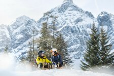
The rear Obernberg Valley is perfectly suited for a comfortable winter hike, even with sledging fun on the way back
Image gallery: Winter hike to Lake Obernberg
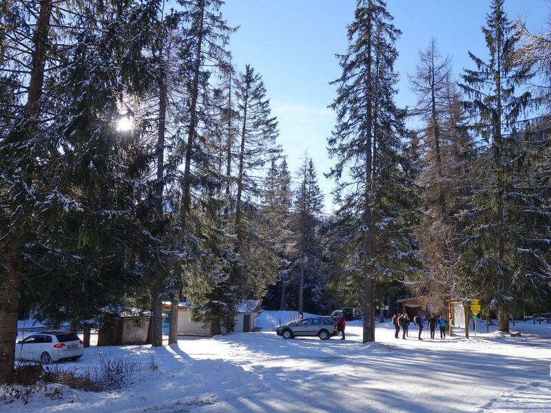
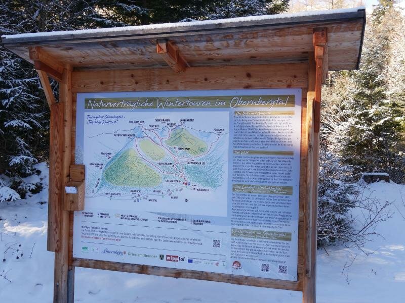
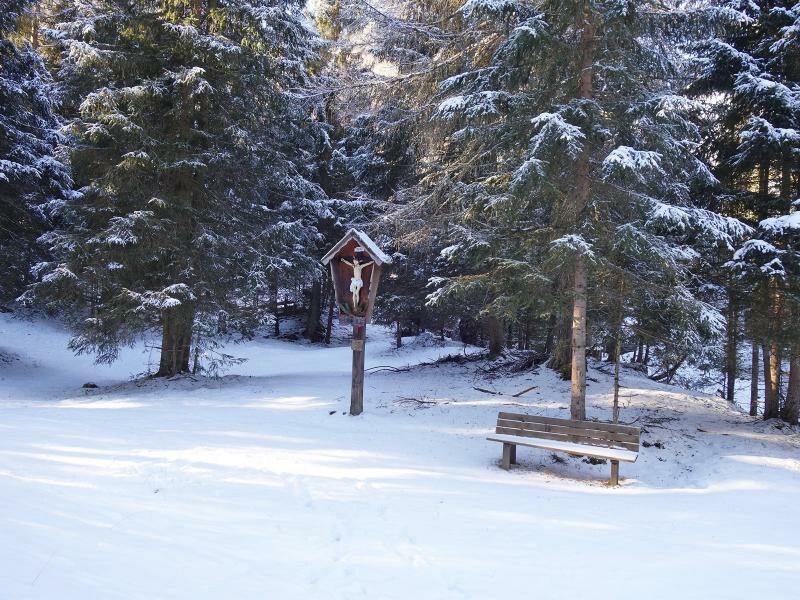
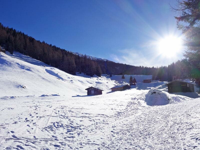
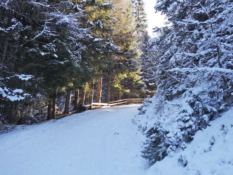
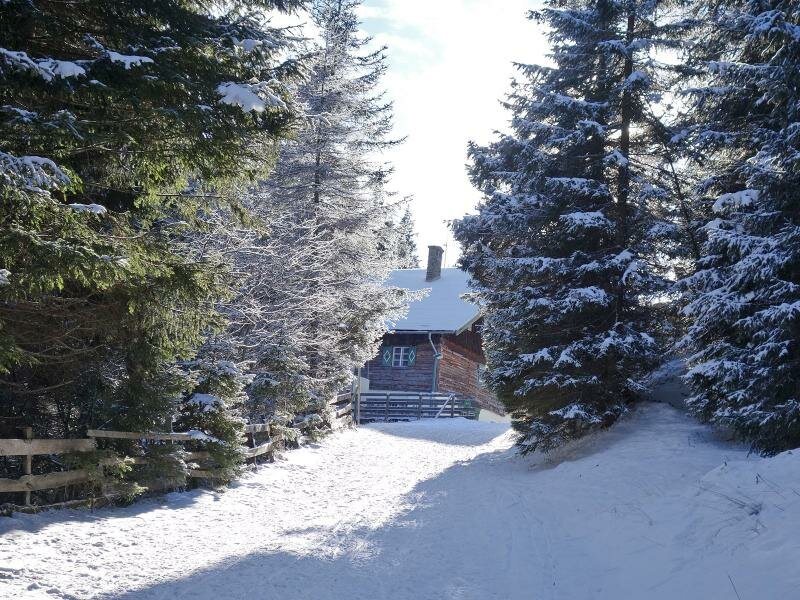
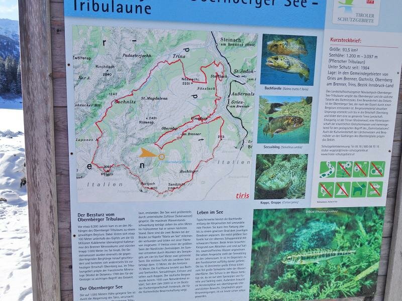
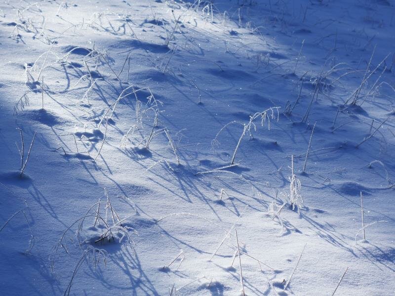
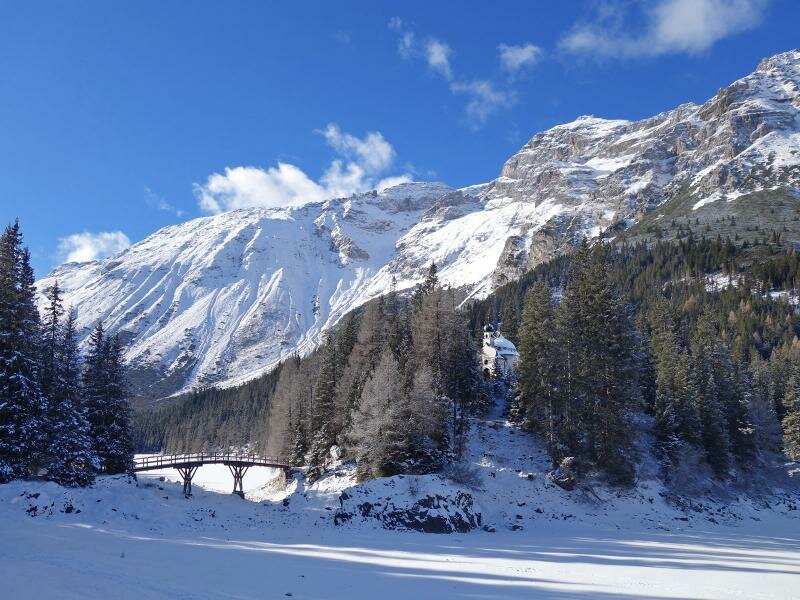
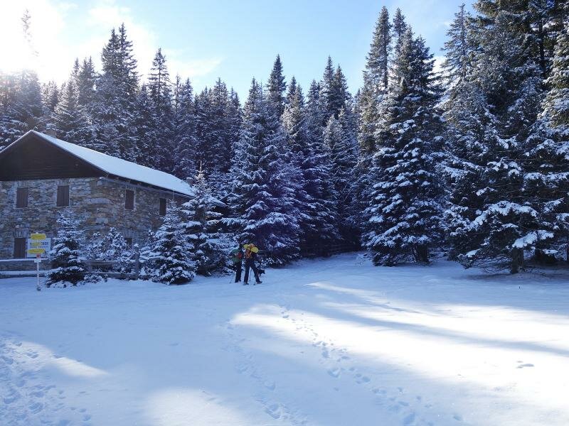
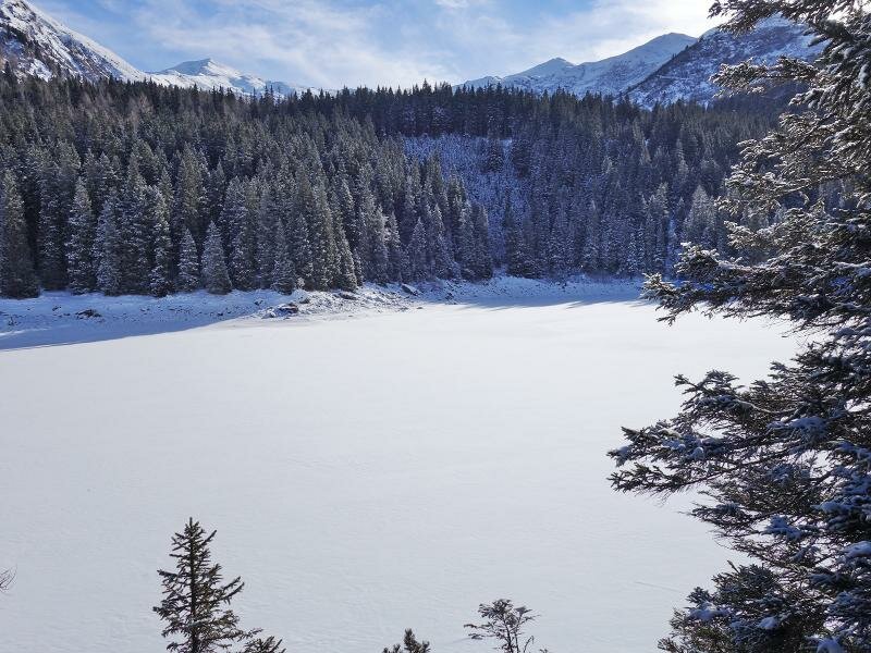
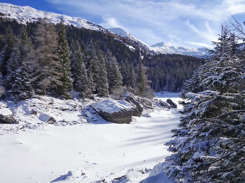
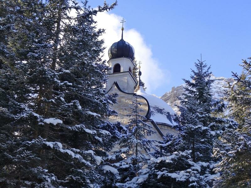

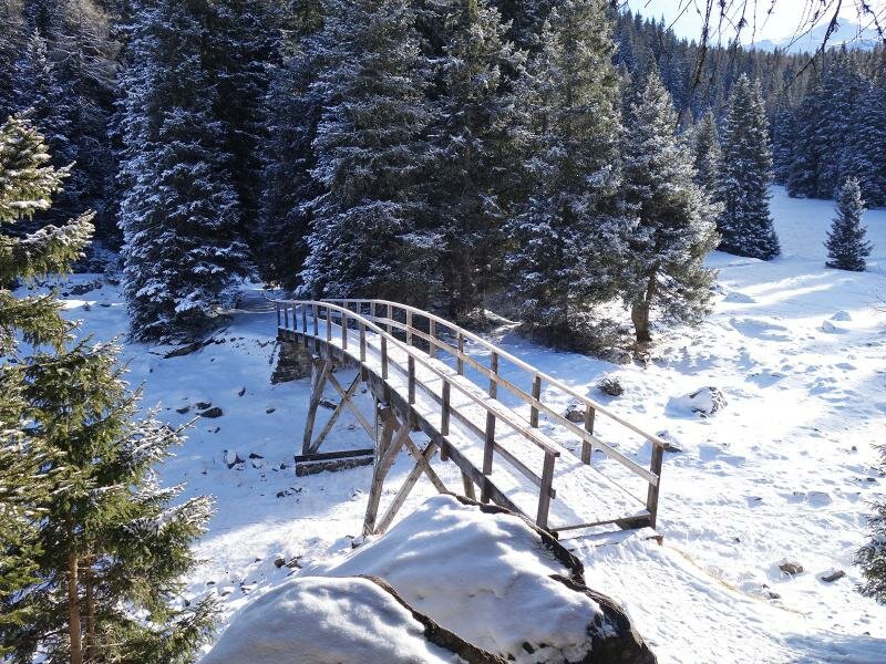
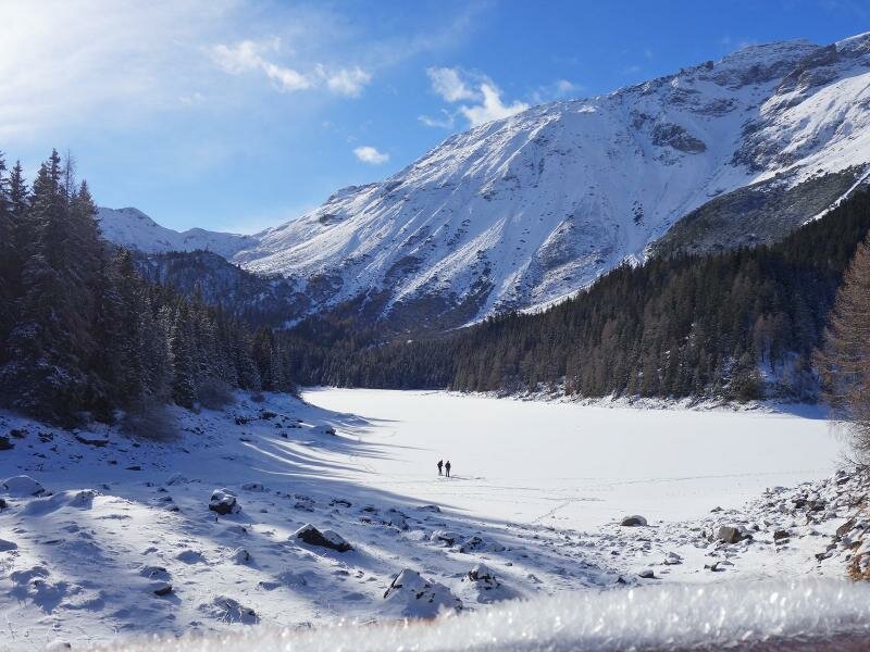
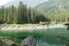
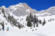
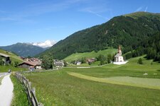
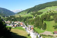
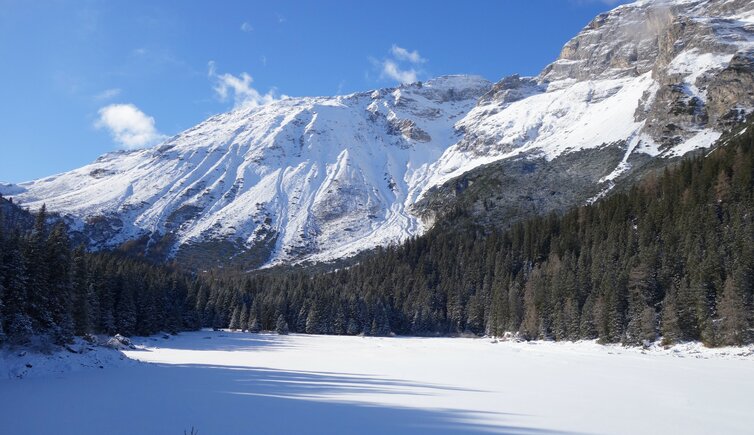
The area around Mt. Obernberger Tribulaun (2,780 m a.s.l.) is considered to be an area with guaranteed snow, just right for a little winter hike. Our starting point is the parking space at the head of the valley (chargeable) at the Waldruh Tavern. The path starts flat, crosses a forest and proceeds to an open meadow with a few wooden huts. Here the ascent for about 1 km starts, up to the Lake Obernberg. The lake is divided into two halves, right in the middle the chapel "Maria am See" is located on a hill. A really magic scenery, with the Kleiner Tribulaun in the background and the surrounding winter landscape.
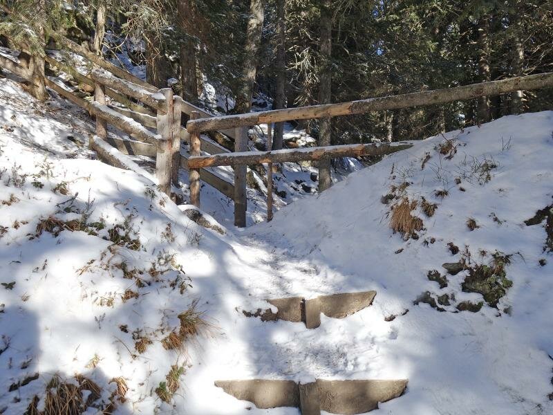
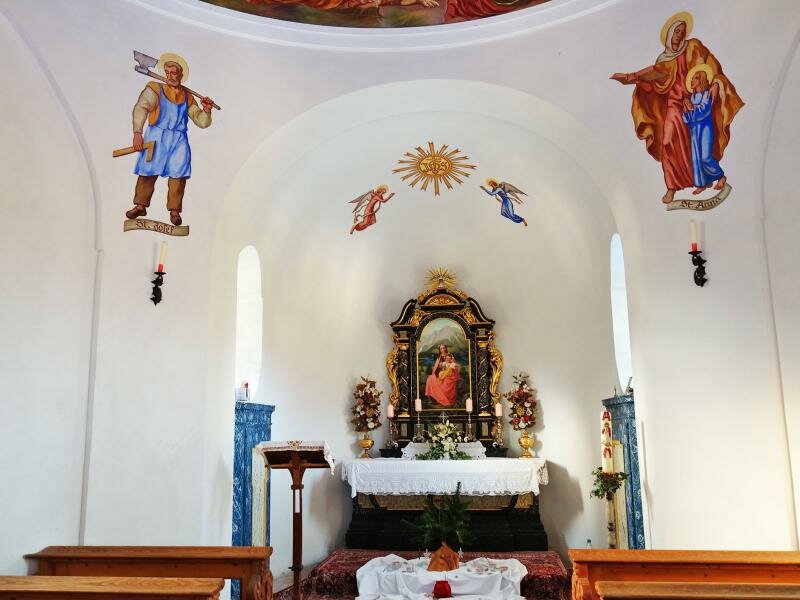
We decide to round the lake. After a visit to the chapel we start our way back to our starting point where we stop off at the Waldruh Tavern to finish this gorgeous winter day in a comfortable way. The section from the wooden huts up to the lake (approx. 1 km) is also a sledge run in winter. So it’s worth to take a sledge along and to pay attention to oncoming sledges while the ascent!
Notice: The data indicated refer to the entire route, including return trip, on foot.
Author: AT
-
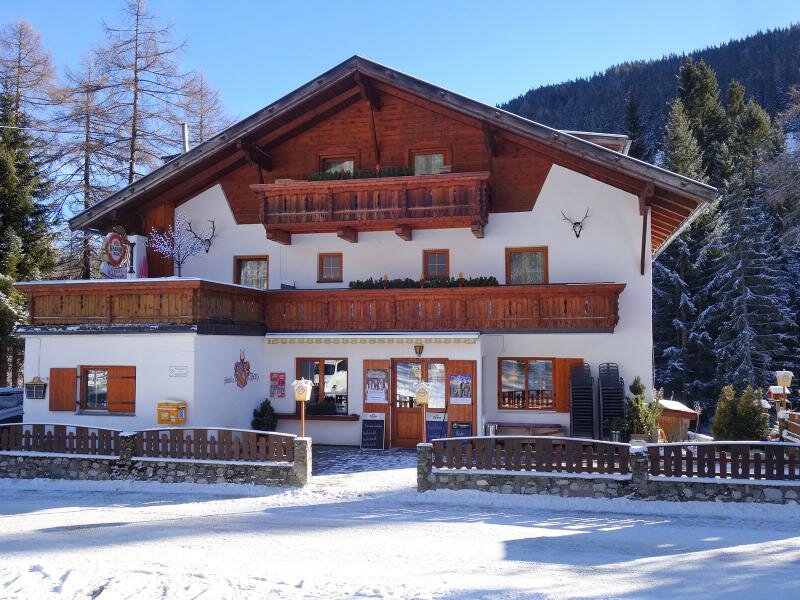
- Starting point:
- Obernberg, head of the valley (Waldruh Tavern)
-
- Overall time:
- 02:00 h
-
- Total route length:
- 6,8 km
-
- Altitude:
- from 1.443 m to 1.618 m
-
- Altitude difference (uphill | downhill):
- +228 m | -228 m
-
- Signposts:
- "Winterwanderweg", sledge run, Lake Obernberg
-
- Destination:
- Lake Obernberg
-
- Recommended time of year:
- Jan Feb Mar Apr May Jun Jul Aug Sep Oct Nov Dec
-
- Download GPX track:
- Winter hike to Lake Obernberg
If you want to undertake this hike, we recommend checking the weather and trail conditions in advance and on site before starting this hike!