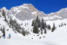
A short winter hike along the Alpine divide, where the Tux and Zillertal Alps rise
Image gallery: Winter hike from the Valsertal valley to Padaun
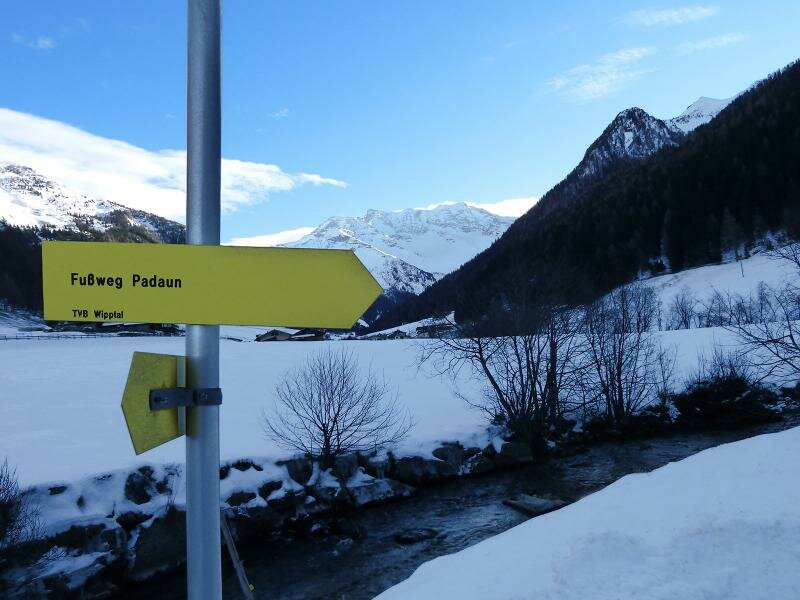
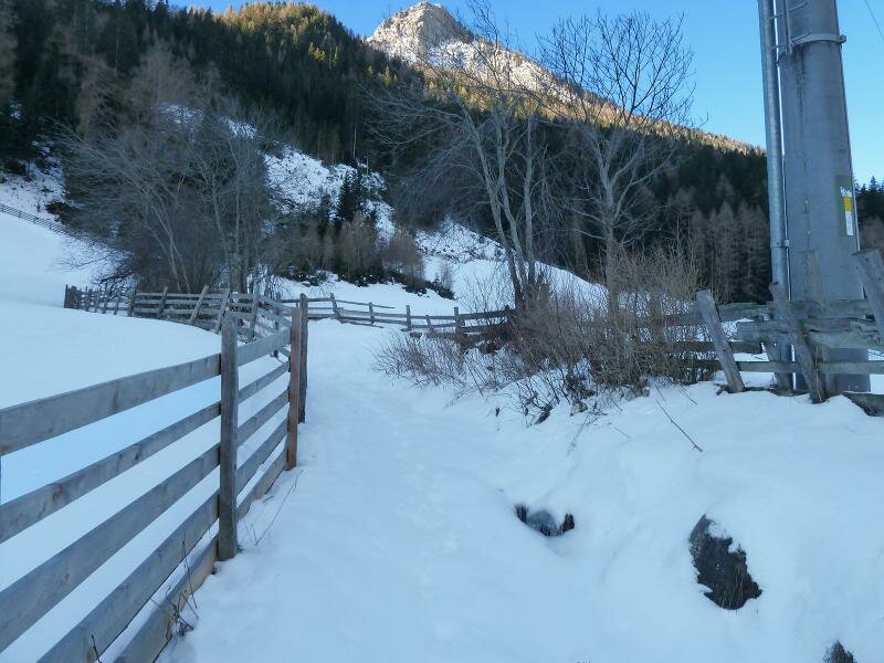
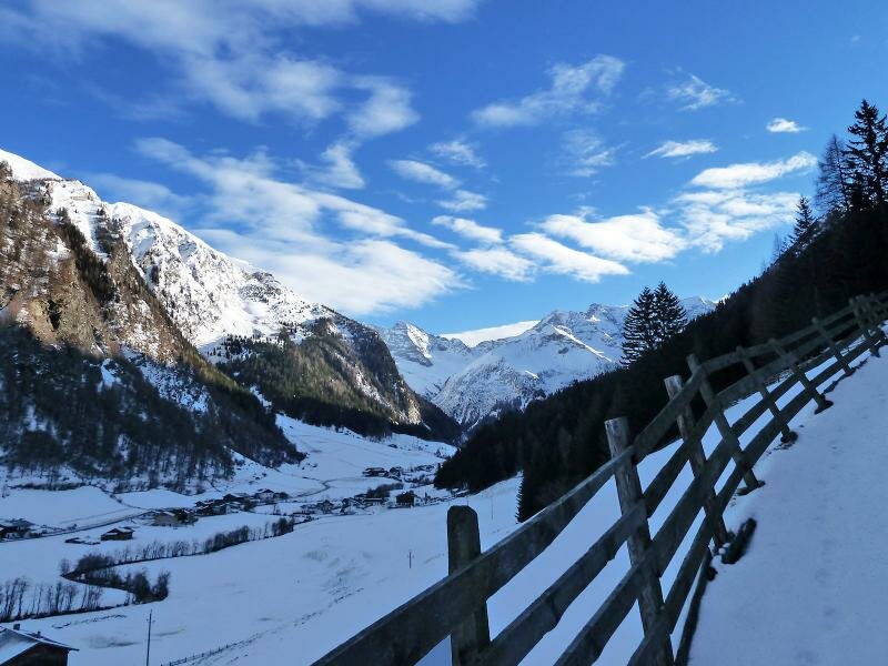
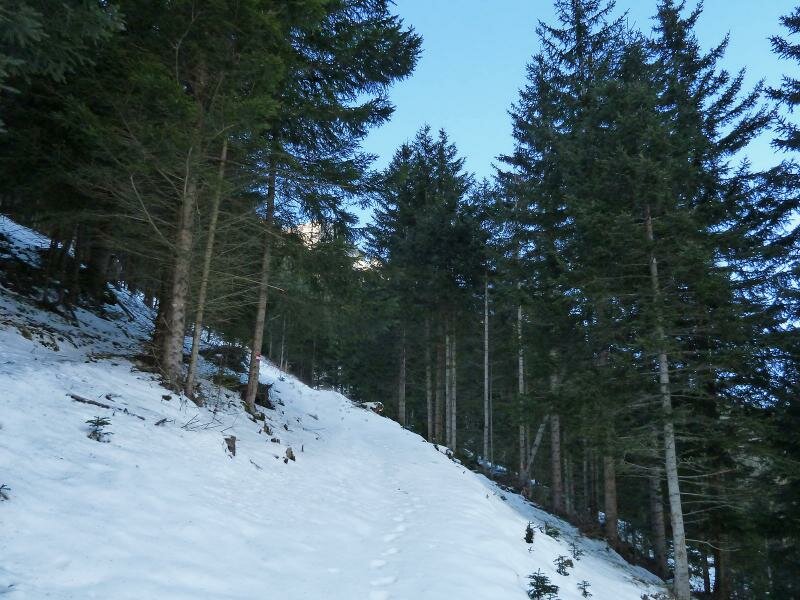

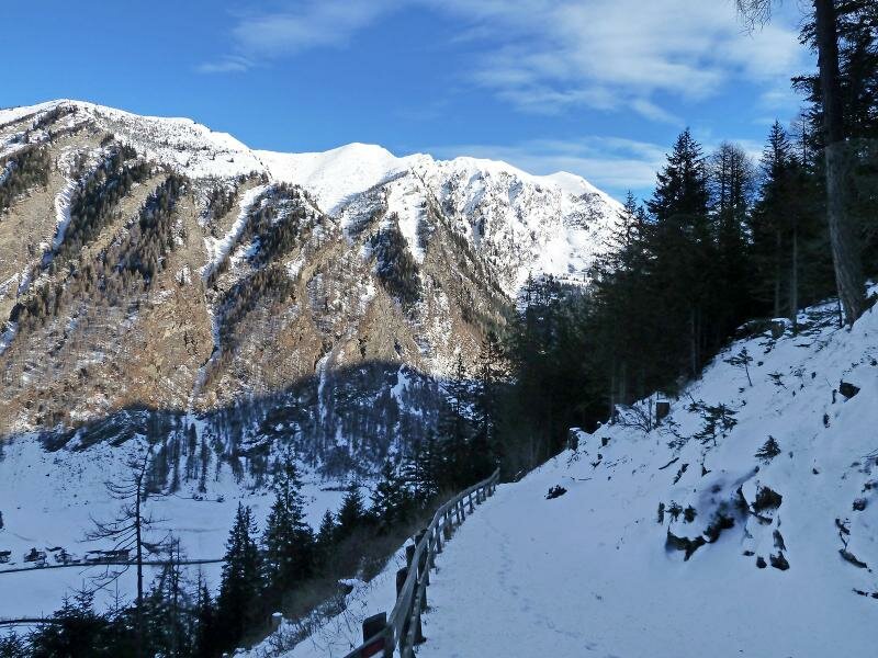
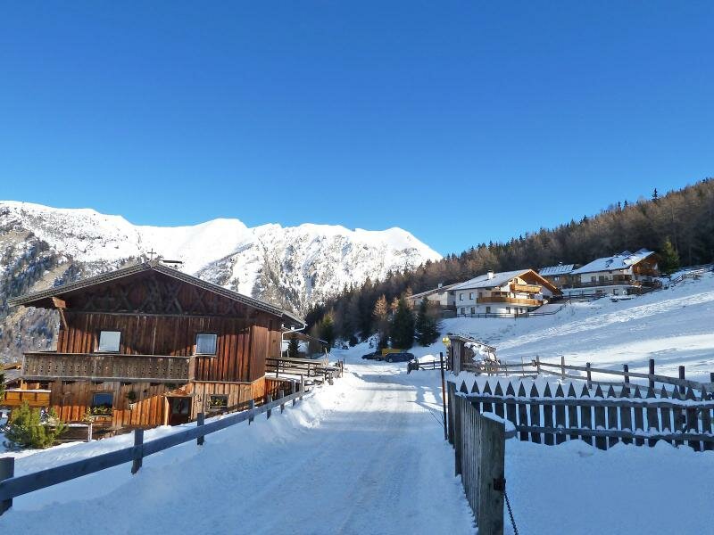
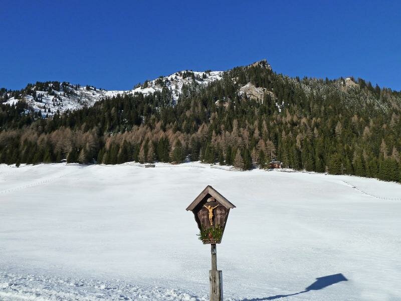
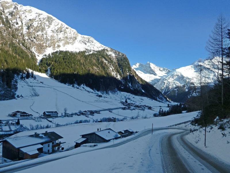
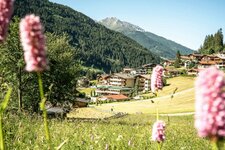
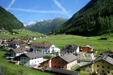
Our destination is called Padaun, a sunny located hamlet in the municipality of Vals in the Wipptal valley, straight at the Alpine divide. Our walking tour starts at the entrance of the Valsertal valley, near the hamlet of Kolb in Ausservals. Through the snow we follow the "Fussweg Padaun". The path proceeds up the steep hill, today it is no problem to manage it with winter proofed walking boots, because there is not much snow. About 280 metres in altitude we have to overcome until we reach the top, where the path leads to the asphalt road.
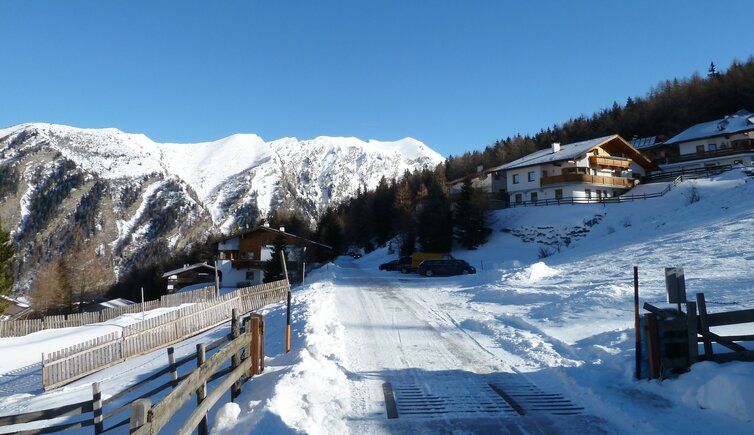
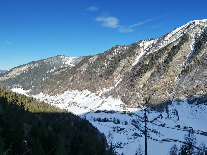
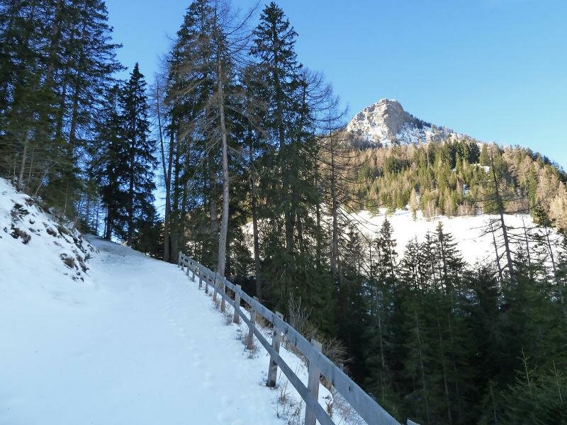
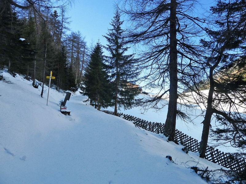
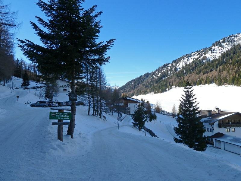
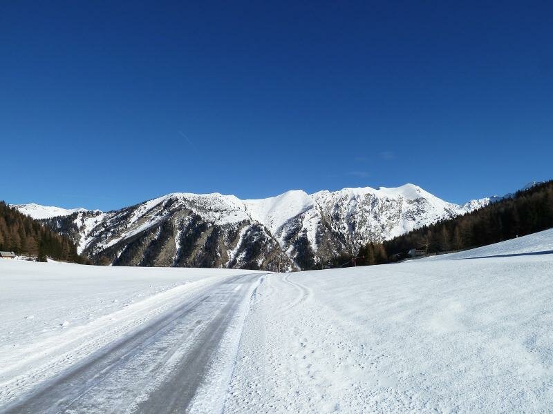
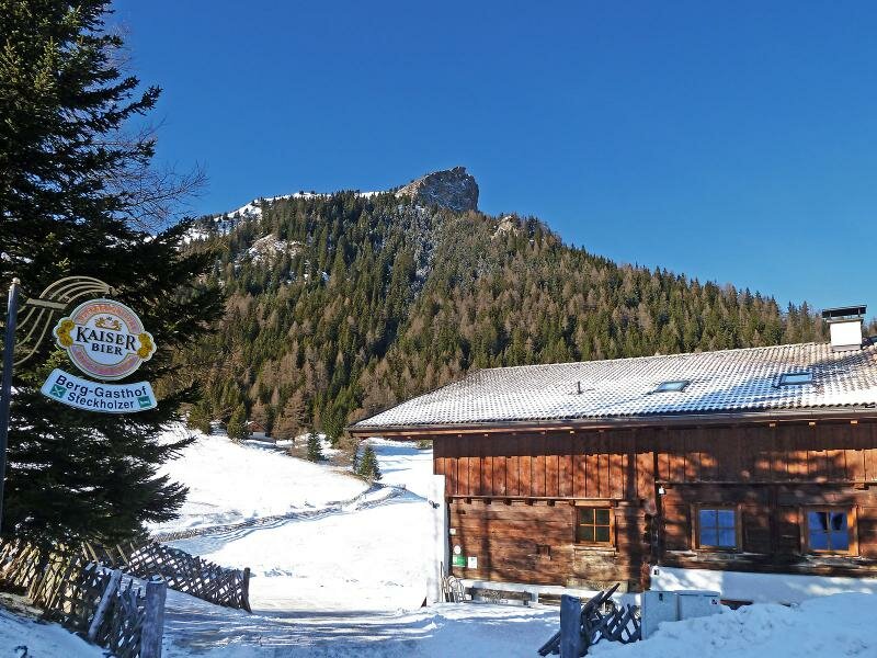
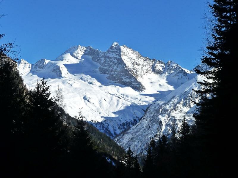
Near the Steckholzer tavern we reach the sunny plateau, where a few farms are located. We follow the road for about one kilometer until the asphalted path ends. On our way back we stop at the Steckholzer tavern and enjoy a short rest. For the descent we recommend the asphalt road, this route is a bit longer but less steep. The view opens on Mount Serles (2,717 m a.s.l.) in the Stubai Alps (on the left) and the Olperer mountain in the Tux Alps (3,476 m a.s.l.) on the right. This nice winter hike (about 7 km long) is ideal to spend a beautiful winter day amidst snowy mountains.
Author: AT
-
- Starting point:
- Vals, Ausservals, hamlet Kolb
-
- Overall time:
- 01:50 h
-
- Total route length:
- 7,8 km
-
- Altitude:
- from 1.256 m to 1.611 m
-
- Altitude difference (uphill | downhill):
- +374 m | -374 m
-
- Signposts:
- "Fussweg Padaun", Padaun, "Vals Panoramaweg"
-
- Destination:
- meadows of Padaun
-
- Recommended time of year:
- Jan Feb Mar Apr May Jun Jul Aug Sep Oct Nov Dec
-
- Download GPX track:
- Winter hike from the Valsertal valley to Padaun
If you want to undertake this hike, we recommend checking the weather and trail conditions in advance and on site before starting this hike!