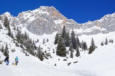
In the Pinnistal valley, between the Habicht, Elfer and Kirchdach mountains in the Stubai Alps, we walk to the Pinnisalm
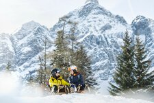
Image gallery: Winter hiking path and sledge run Pinnisalm
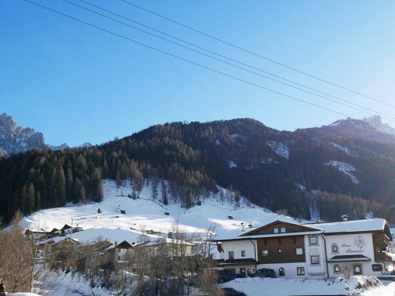
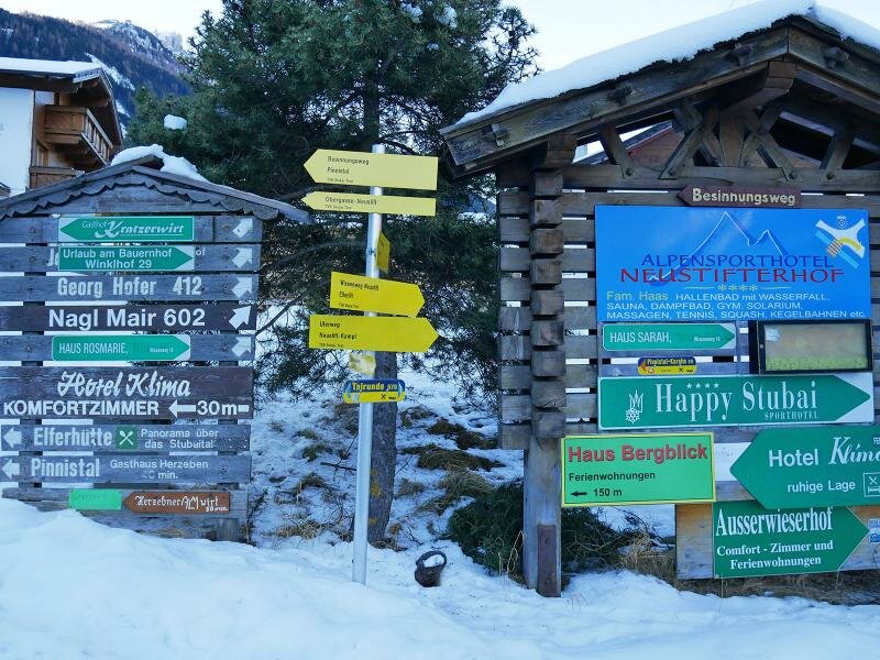
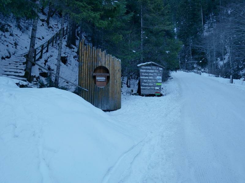
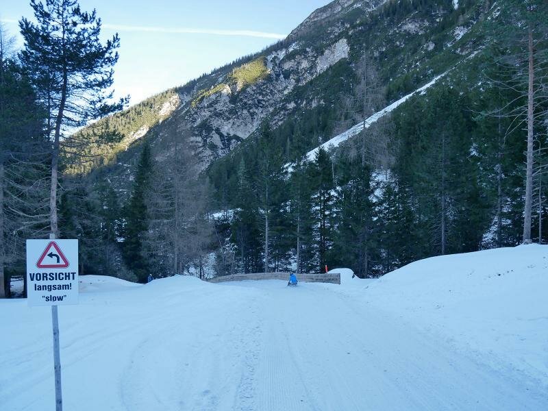
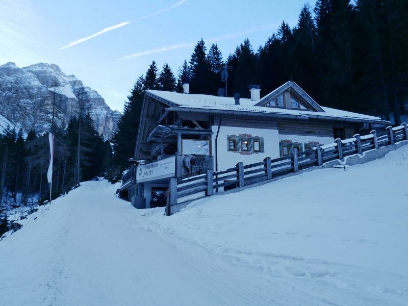
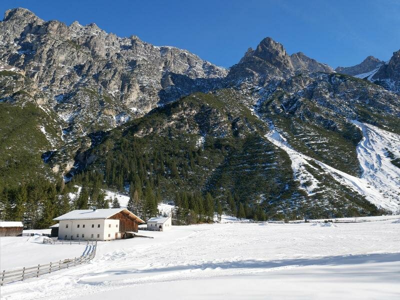
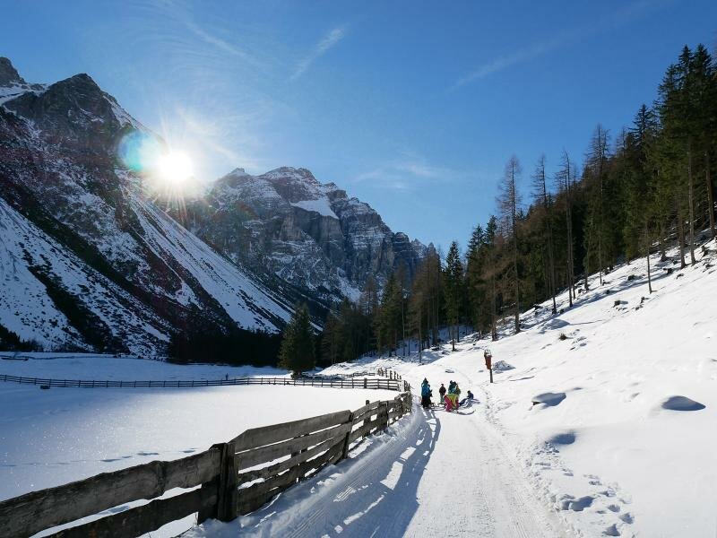
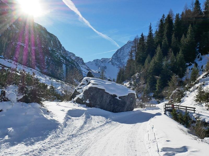
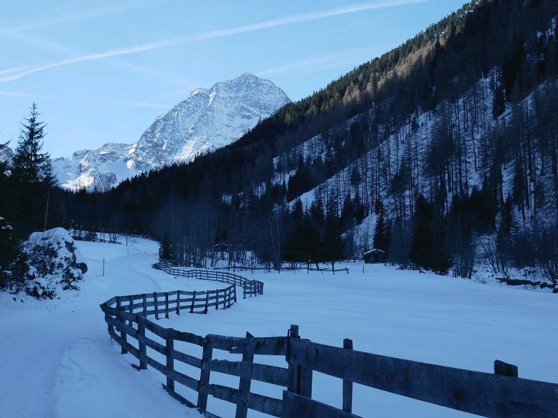
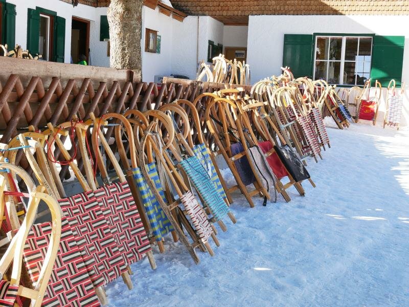
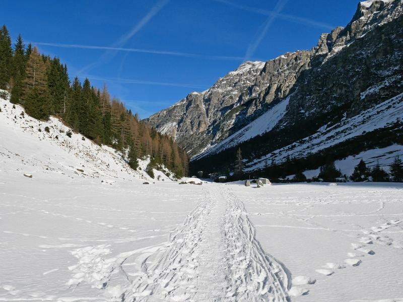
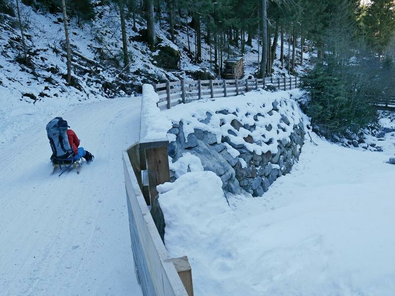
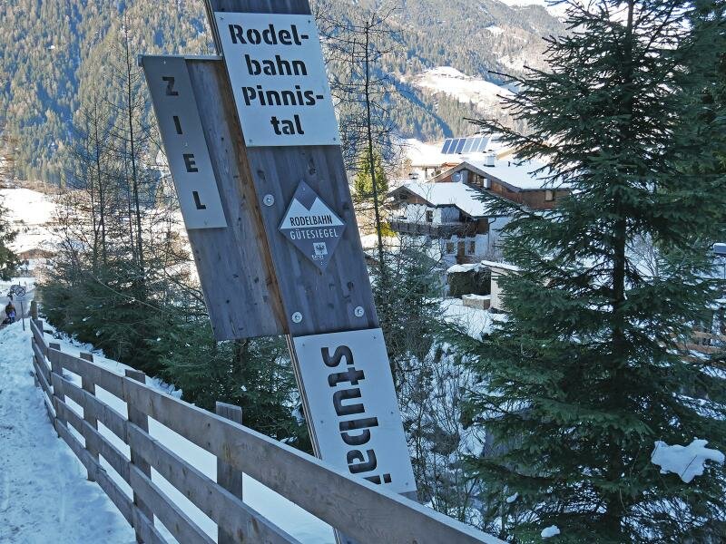
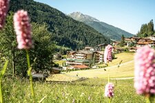
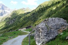
The Pinnistal valley is an idyllic side valley of the Stubaital valley, which branches off towards south at Neder, near Neustift im Stubaital. Between the steep rugged slopes of the Serleskamm ridge and Mt. Elfer the path proceeds uphill to the Pinnis Hut. In Neder we follow the Pinnisweg path which turns into a forest road at the outskirts of the village and is a sledge run in winter. The route follows the course of the Pinnisbach stream always slightly uphill. After about 2 km we reach the first rest point, the Herzeben Almwirt. Shortly afterwards the crossing with the Pinnistal-Elfer sledge run follows which comes down from the mountain station of the Elferbahn cable car.
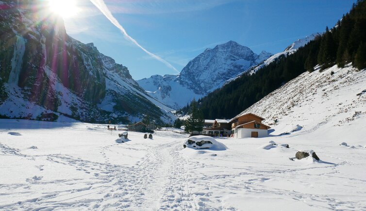
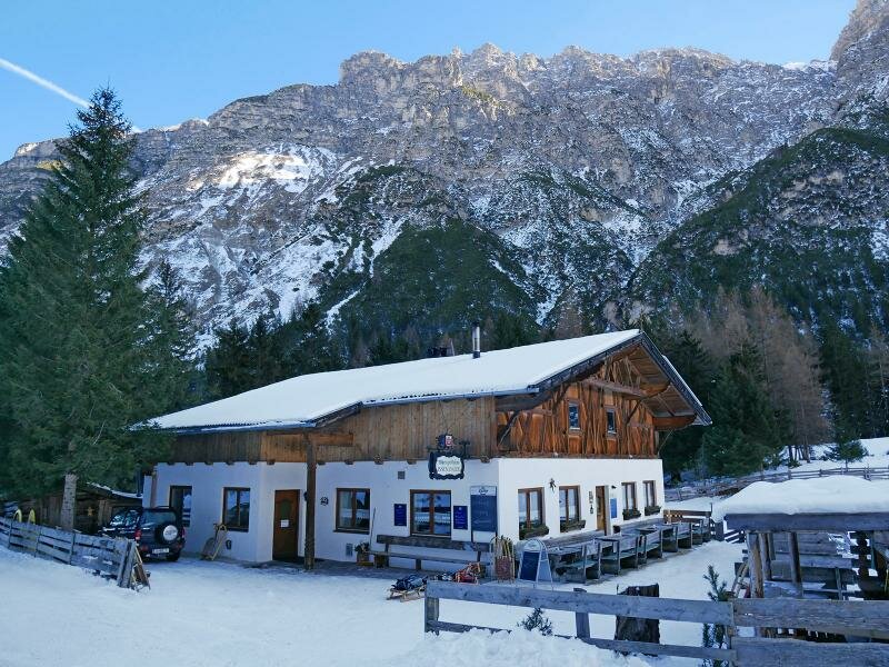
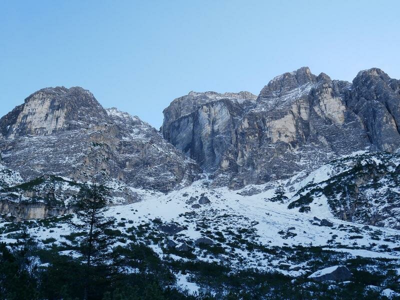
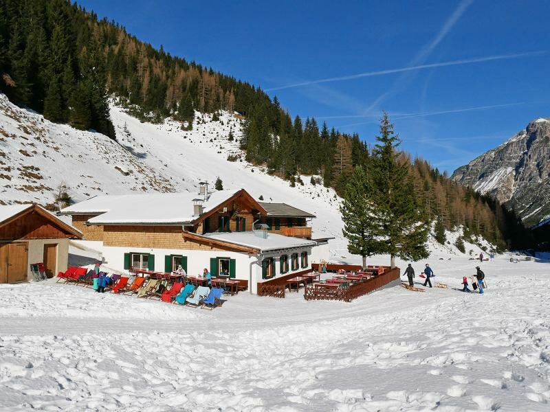
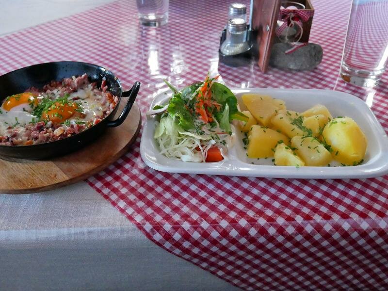
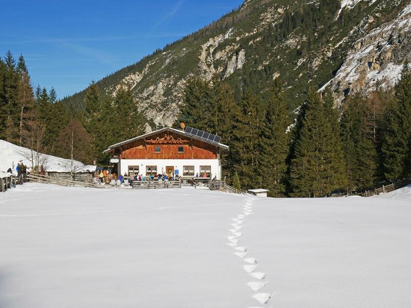
Here also the Issenangeralm hut is located. But we have not yet reached our destination, which is located a few km further up in the valley, at approx. 1,550 m a.s.l.: the Pinnisalm mountain hut. Surrounded by an idyllic mountain panorama of Mt Habicht, Mt. Kalkwand, Mt. Ilmspitze and Mt. Kirchdachspitze it is located on a snowy clearing. It's just lunch time and the right moment to order some local delicacies at the mountain hut. And afterwards we can enjoy the best - a racy downhill run to Neder by sledge. In winter there is a shuttle service from the Issenangeralm to the Pinnisalm (with transport of sledges). Like this you can save about half the way.
Notice: The data indicated refer to the entire route, including return trip, on foot.
Author: AT
-
- Starting point:
- Neder near Neustift im Stubaital
-
- Overall time:
- 03:25 h
-
- Total route length:
- 12,0 km
-
- Altitude:
- from 970 m to 1.562 m
-
- Altitude difference (uphill | downhill):
- +589 m | -589 m
-
- Signposts:
- Pinnisalm, Rodelbahn (sledge run)
-
- Destination:
- Pinnisalm mountain hut (1,550 m a.s.l.)
-
- Resting points:
- Herzeben Alm, Issinger Alm, Pinnisalm
-
- Recommended time of year:
- Jan Feb Mar Apr May Jun Jul Aug Sep Oct Nov Dec
-
- Download GPX track:
- Winter hiking path and sledge run Pinnisalm
If you want to undertake this hike, we recommend checking the weather and trail conditions in advance and on site before starting this hike!