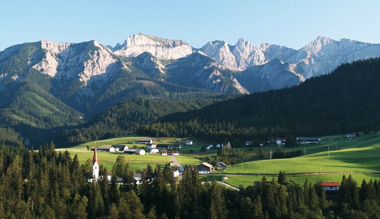
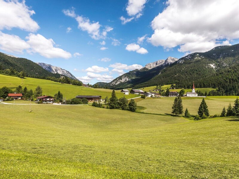
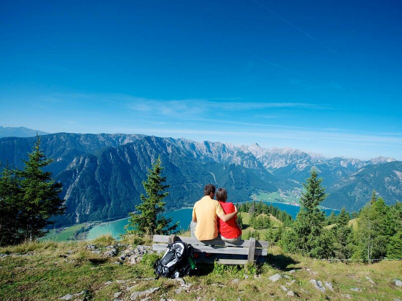
Steinberg am Rofan considers itself “the most beautiful end of the world” - a perfect place for relaxing holidays
Image gallery: Steinberg am Rofan
Altitude: 1,010 m a.s.l.
The name already reveals, that Steinberg is located at the foot of the Rofan Mountains, accessible via Achenkirch, located at the northern shores of Lake Achensee, on a 10 km long road. This area was already settled in the 8th century. For centuries, the inhabitants lived from livestock breeding and woodwork: The wood was transported to the valley on the Brandenberger Ache river.
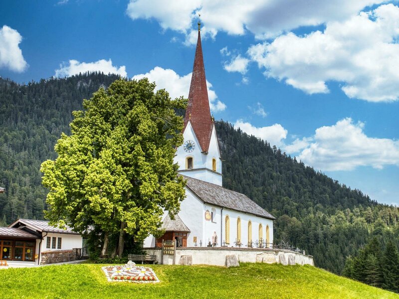
Today, the village is perfect for relaxation. In its centre rises the parish church, first mentioned in 1188 AD and converted to Baroque style in the 18th century. Above the portrayal of Virgin Mary on the left altar wing there is the personified Trinity, which was carved out of Swiss pine in the 17th century. A rarity! Another interesting place is the Schneidjoch at 1,400 m a.s.l., where you can admire Rhaetian inscriptions from 400 BC. It is accessible in a hike from the Guffert Mountain Hut.
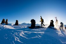
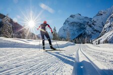
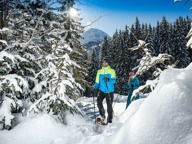
In winter, the surroundings are a wonderful ski tour area. Furthermore, Steinberg am Rofan offers four cross-country ski trails and the toboggan run Steinberg. You can reach it in a 15-minute hike and afterwards you can enjoy the 800 m long sledge ride - the run stays illuminated till 11 pm.