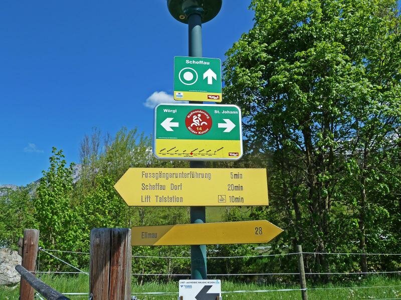
The Wilder Kaiser MTB Route connects Wörgl with the villages on the sunny side of the Kaiser Mountains and with St. Johann in Tirol
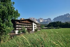
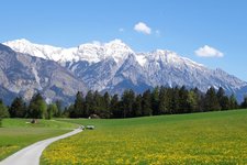
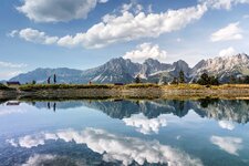
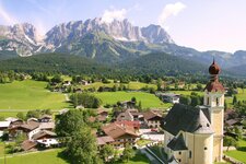
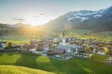
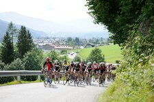
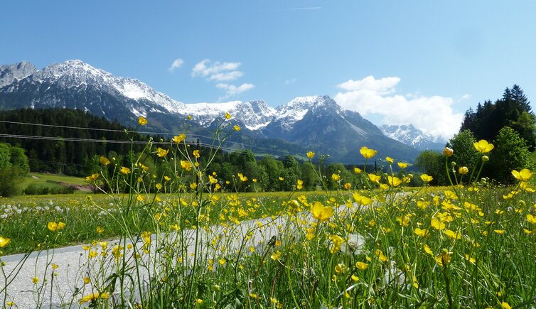
Image gallery: Wilder Kaiser Cycle Route
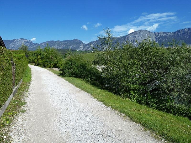
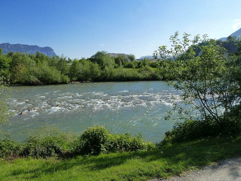
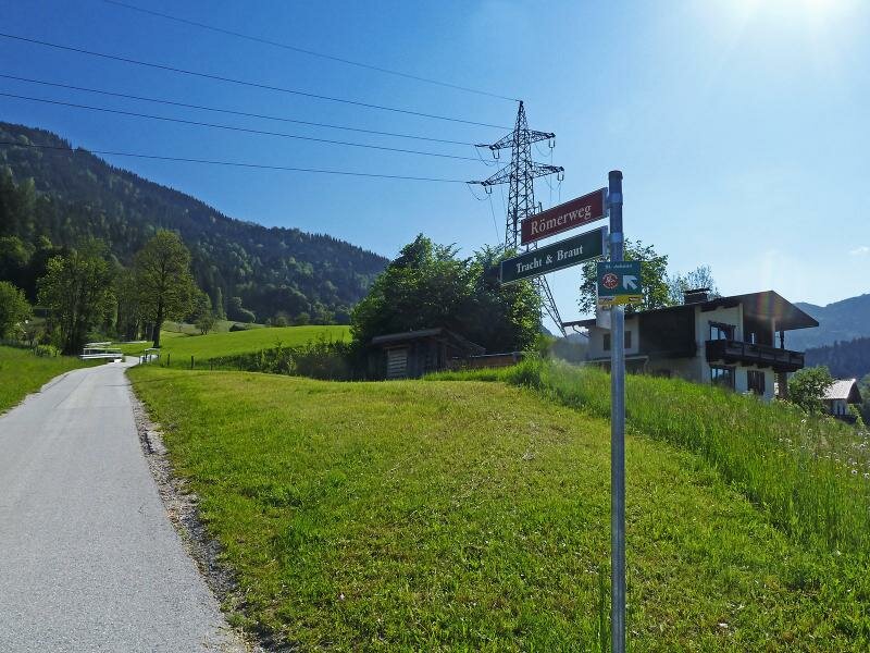
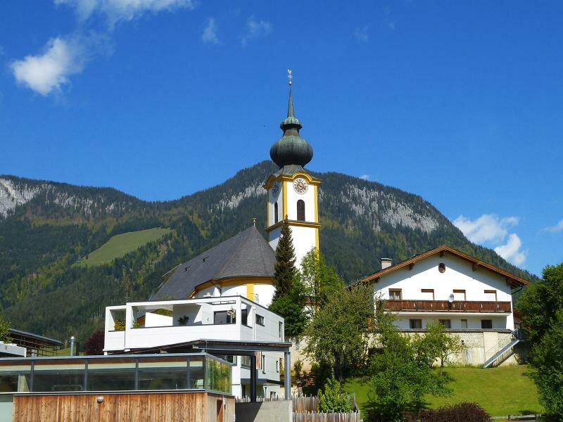
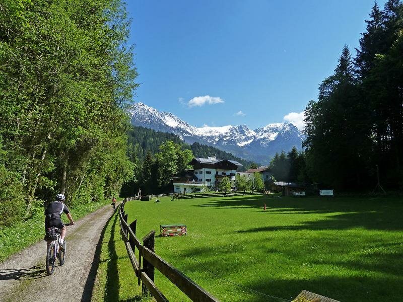
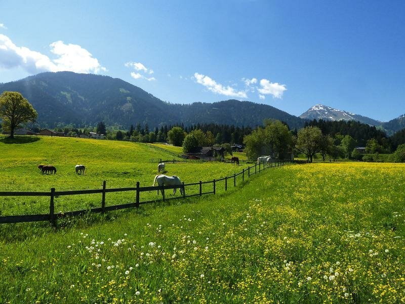
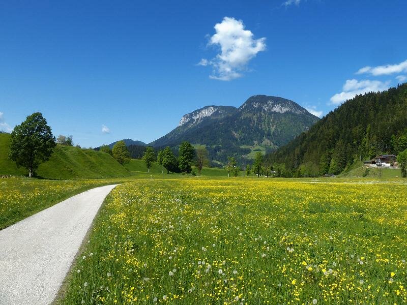
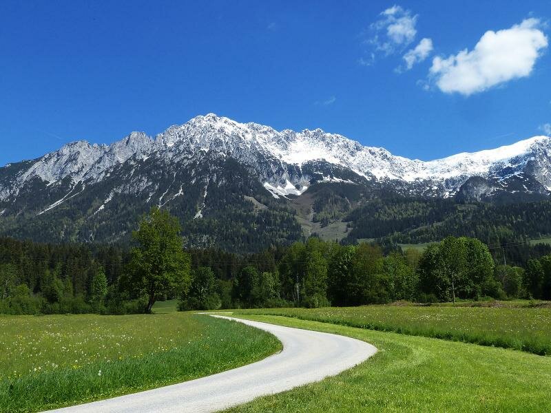
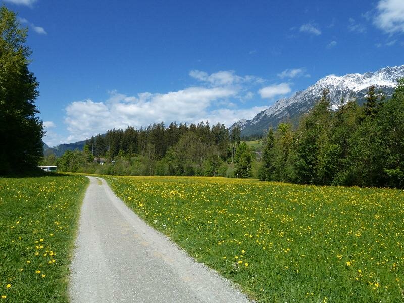
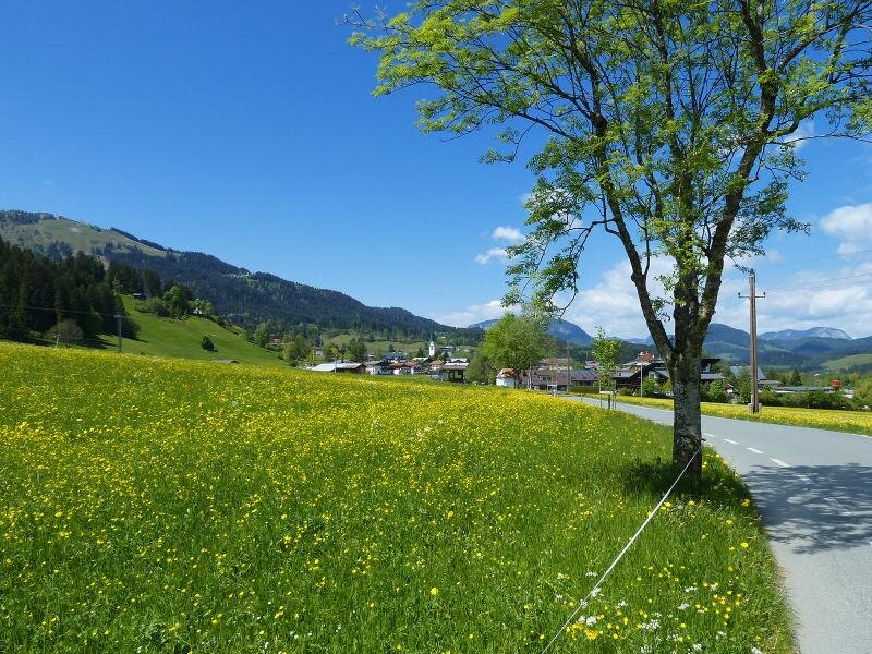
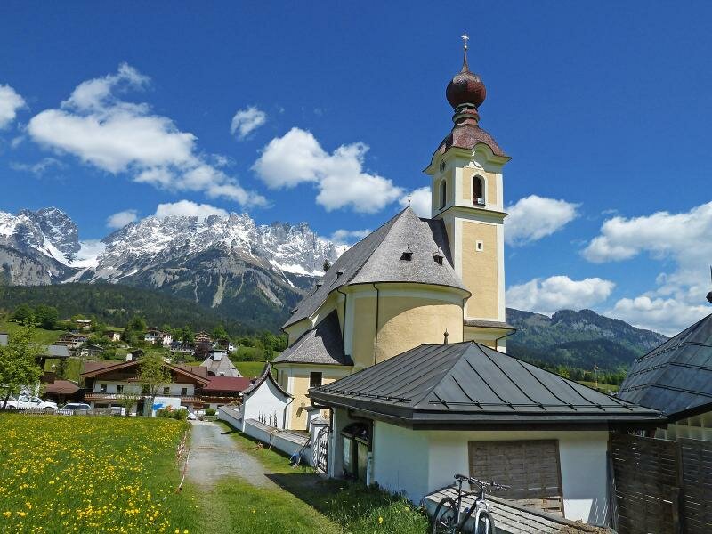
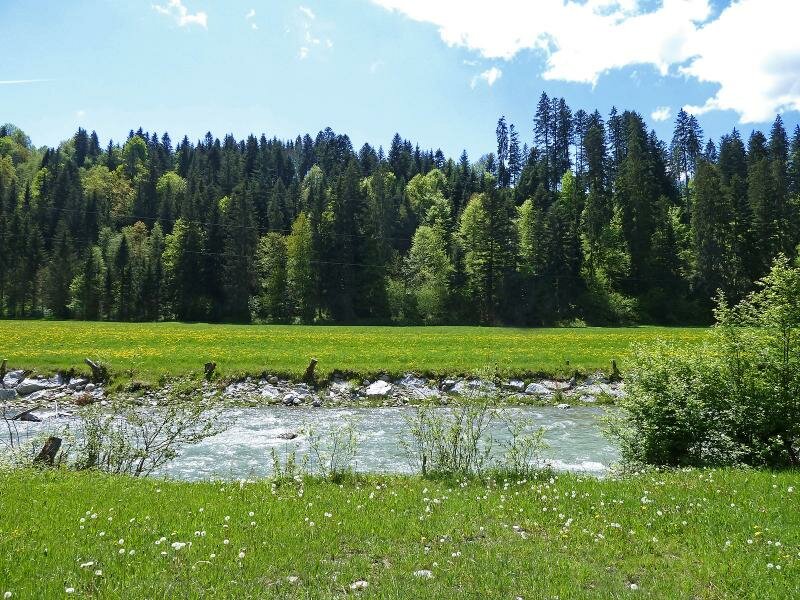
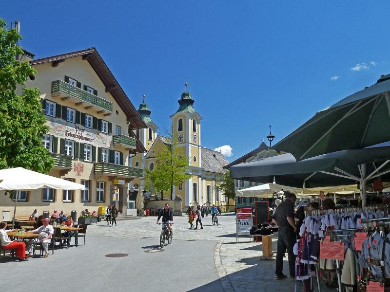
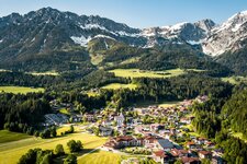
Starting in Wörgl we cycle through the Brixental valley towards southeast: The Wilder Kaiser Cycle Route (Radweg Wilder Kaiser) follows the Ache river upstream. After the village of Bruckhäusl, where the Brixental Cycle Route R21 branches off, the path ascends to the Söllandl through a landscape with meadows. After passing the village of Söll, we continue north of the Lofer A-Road through the valley below Scheffau to Ellmau and Going am Wilden Kaiser.
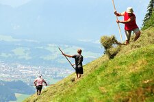
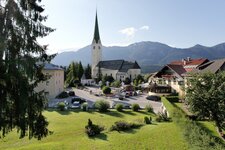
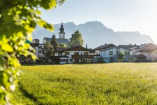
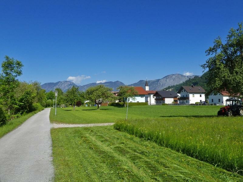
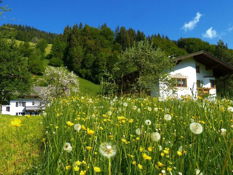
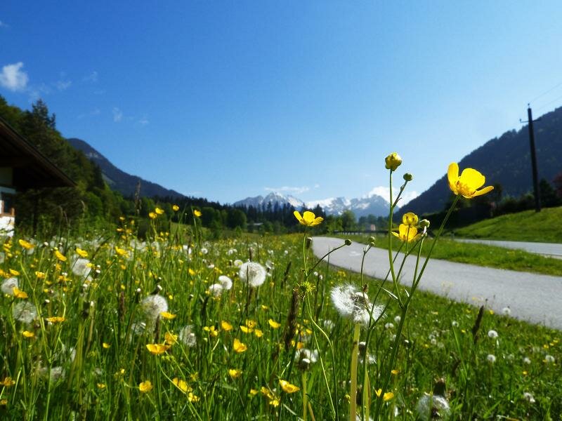
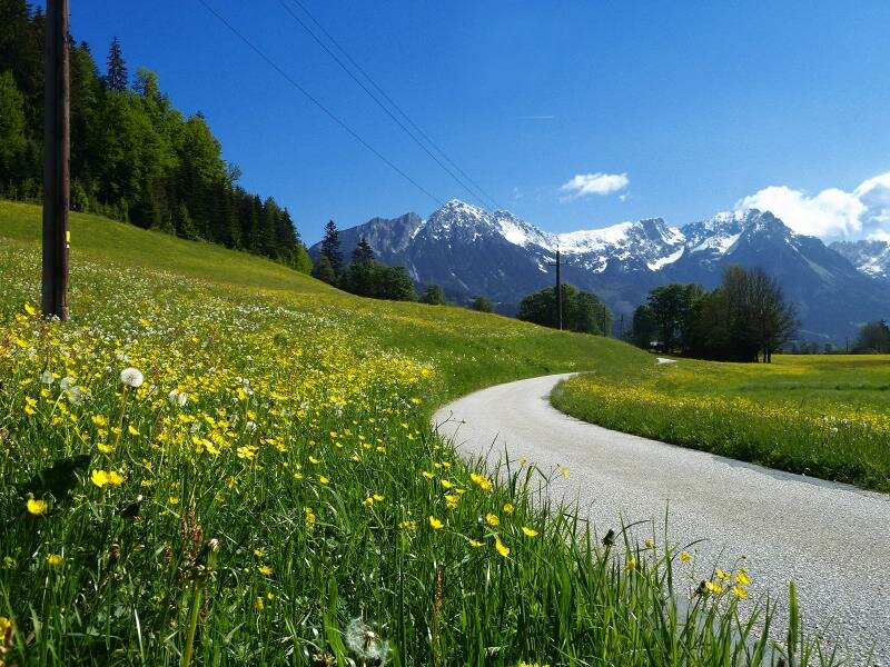
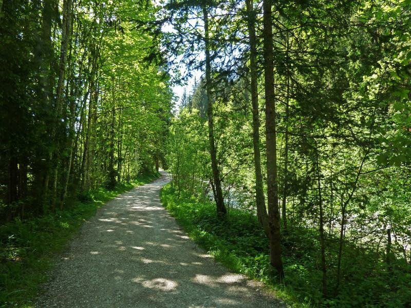
Always with view on the majestic Kaiser Mountains we change to the northern side of the valley. Across meadows and woods, on forest paths we cycle down to St. Johann in Tirol, where the MTB route joins the Leukental Cycle Route and the Kalkstein Cycle Route. From spring to autumn, you will find a beautiful landscape, and the villages along the path are also worth a visit. This bike tour shines with a high recreational factor and beautiful views on the surrounding alpine world.
- Train & Bike: in Wörgl and St. Johann train stations with local train connection
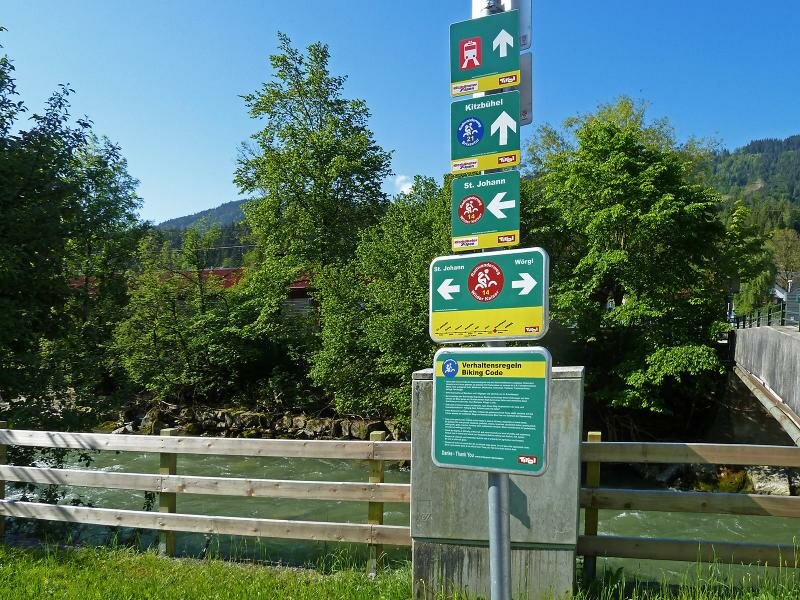
Connection to other cycle routes in Tyrol:
- at Wörgl: Inn Cycle Route - Tiroler Unterland R2
- at Wörgl south: Brixental Cycle Route R21 towards Kitzbühel
- at St. Johann in Tirol: Leukental Cycle Path R20 towards Kössen or Kitzbühel
- at St. Johann in Tirol: Kalkstein North Cycle Route R17 towards Waidring
- at St. Johann in Tirol: Kalkstein South Cycle Route R19 towards Fieberbrunn
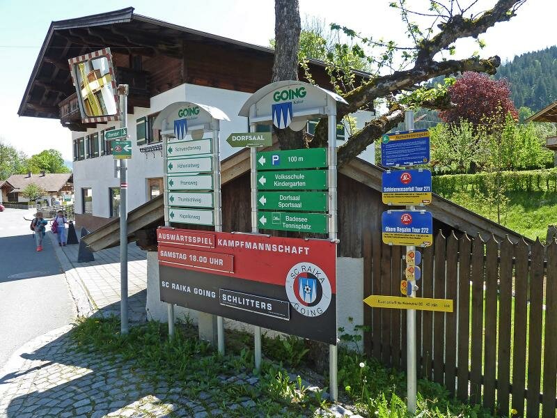
Attention: The described cycle routes are only sectionally cycle paths in the narrower sense. They often proceed on byroads where also car and tractor traffic is allowed. Please take care!
-
- Starting point:
- Wörgl (500 m a.s.l.)
-
- Overall time:
- 03:00 h
-
- Total route length:
- 36,2 km
-
- Altitude:
- from 497 m to 806 m
-
- Altitude difference (uphill | downhill):
- +505 m | -346 m
-
- Signposts:
- Cycle Route Wilder Kaiser, R14
-
- Destination:
- St. Johann in Tirol (660 m a.s.l.)
-
- Track surface:
- mostly asphalted cycle path, short sections on gravel surface
-
- Recommended time of year:
- Jan Feb Mar Apr May Jun Jul Aug Sep Oct Nov Dec
-
- Download GPX track:
- Wilder Kaiser Cycle Route