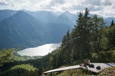
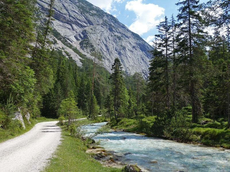
The most beautiful stage of the Tyrolean part of the Isar Cycle Path leads uphill through the Hinterautal to the source of the Isar river
Image gallery: Isar Cycle Route
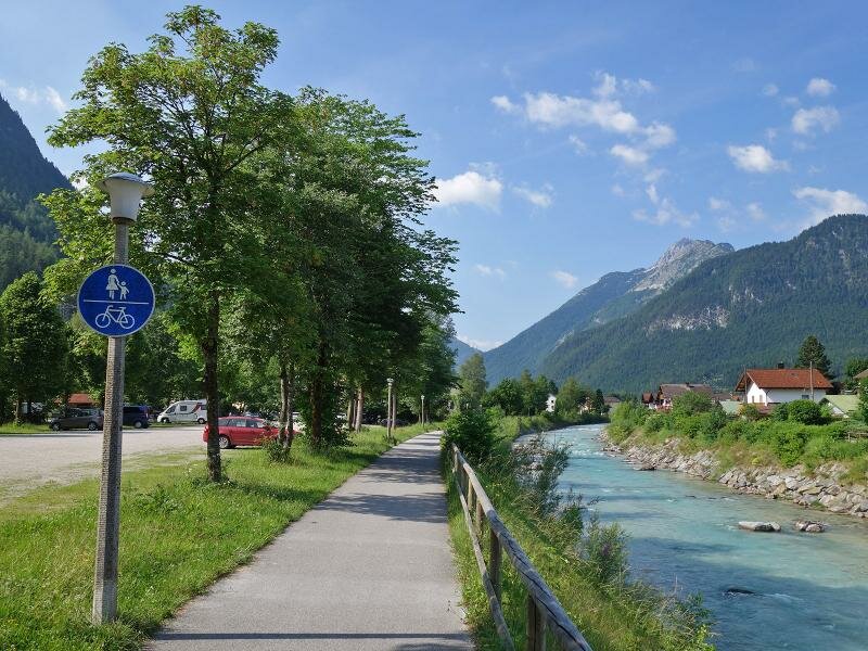
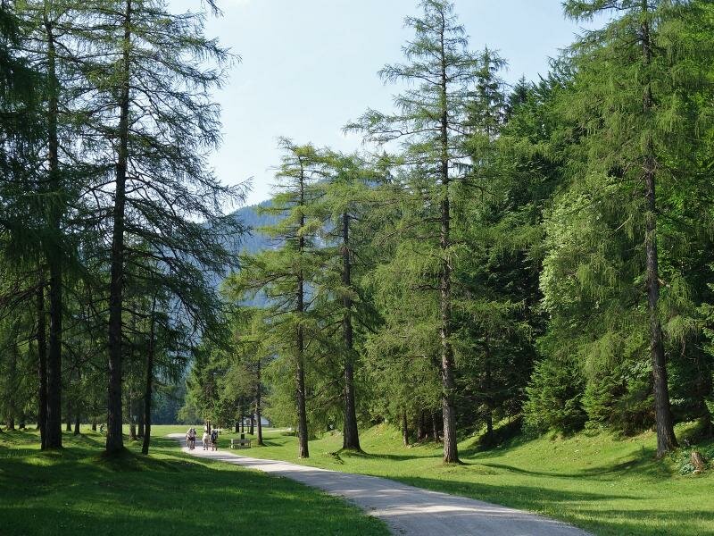
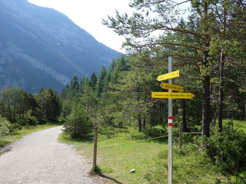
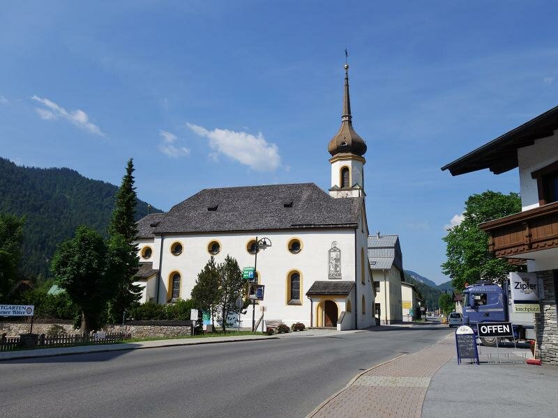
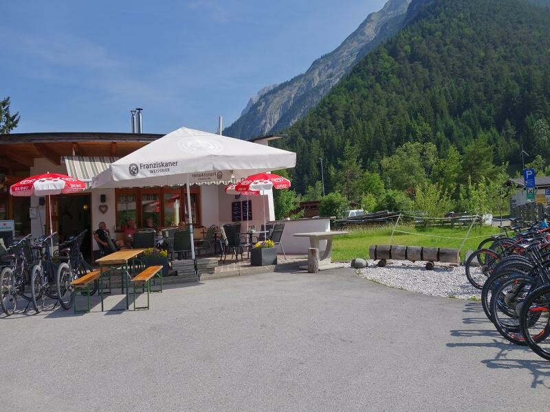
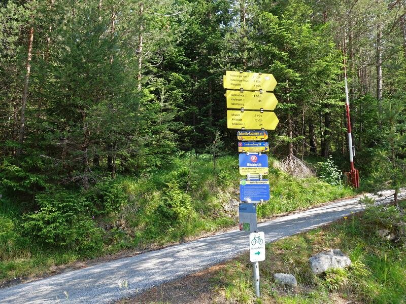
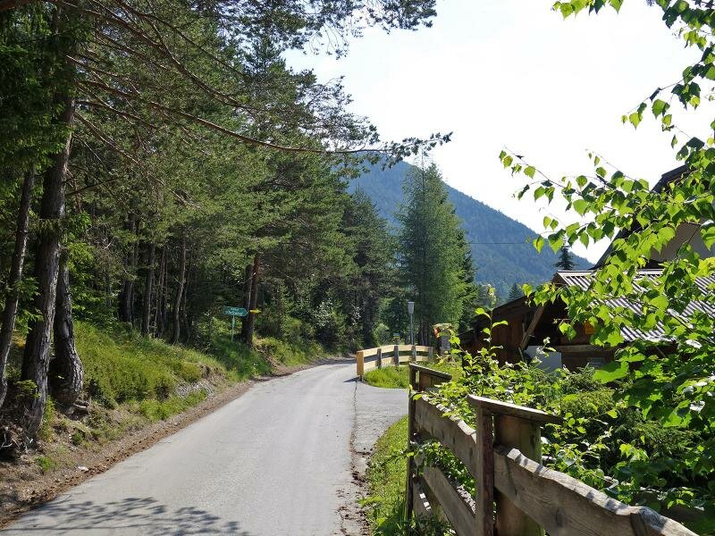
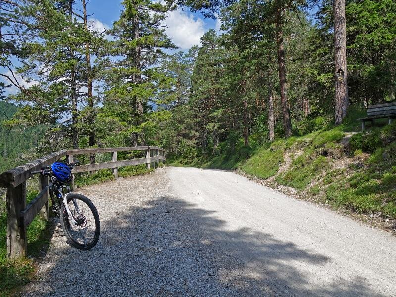
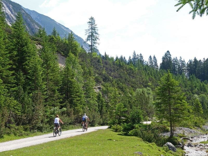
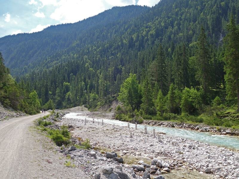
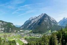
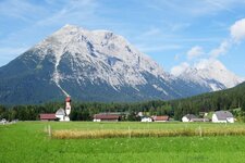
The 299 km long Isar Cycle Route (Isar Radweg) connects Deggendorf with Munich in Bavaria and the Tyrolean Karwendel Valleys. In this article we deal exclusively with the uppermost section of the Isar Cycle Path, which leads from Mittenwald into the Tyrolean Hinterautal valley to the magical source area of the Isar. Starting in Mittenwald, the route follows the course of the Isar river on gravel surface to the Riedboden. Then it continues across the border to Scharnitz. Here, the Isar Cycle Route crosses the A-Road B177. Following the signposts to the Karwendel Valleys, it leads along the Hinterautal road until the Wiesenhof tavern.
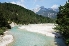
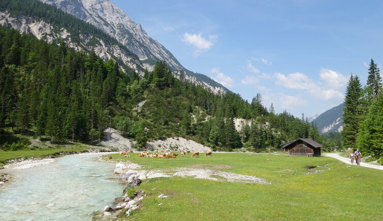
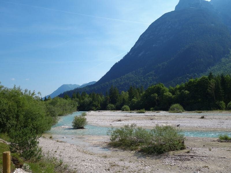
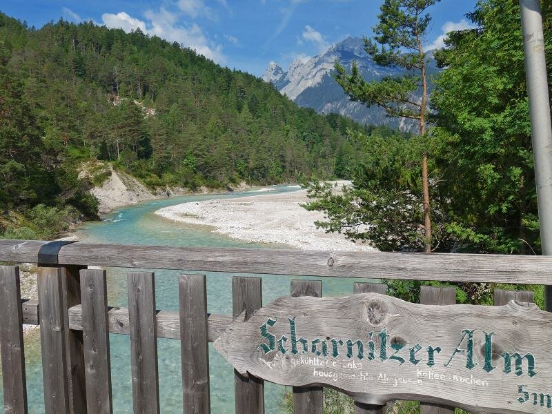
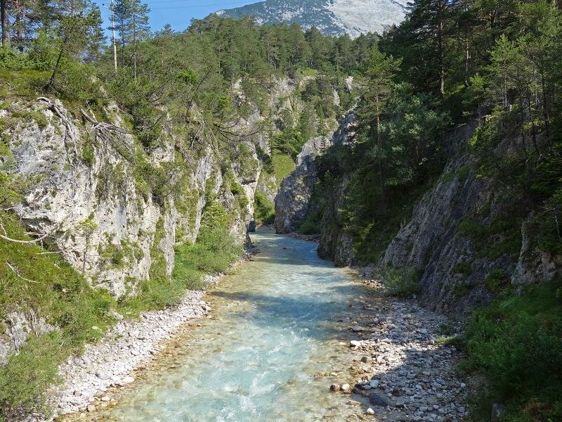
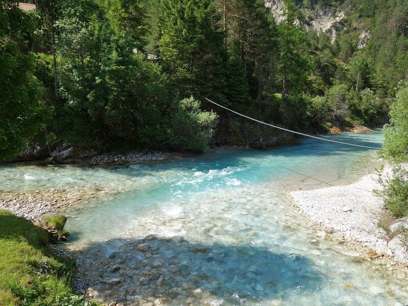
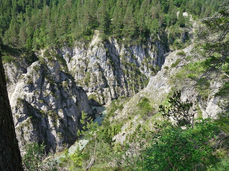
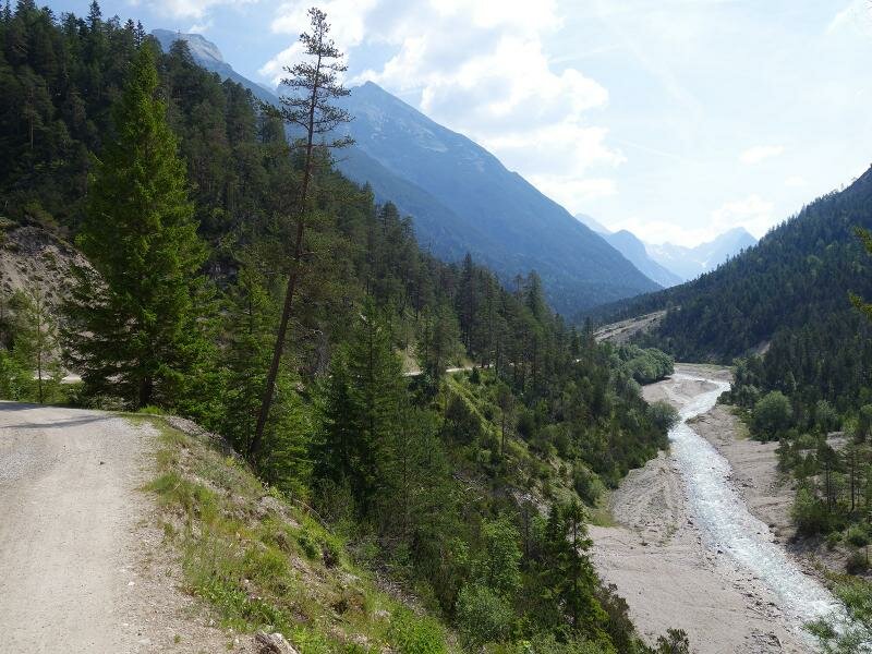
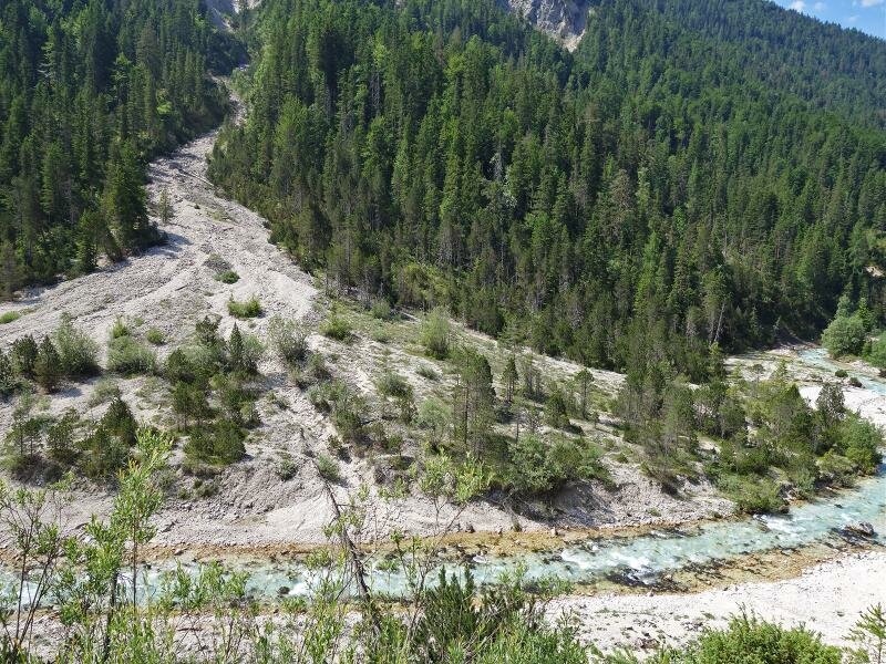
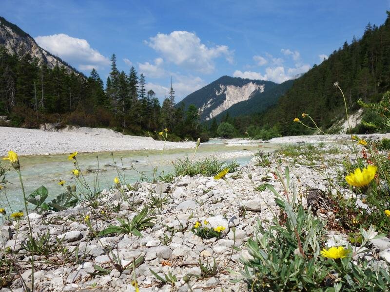
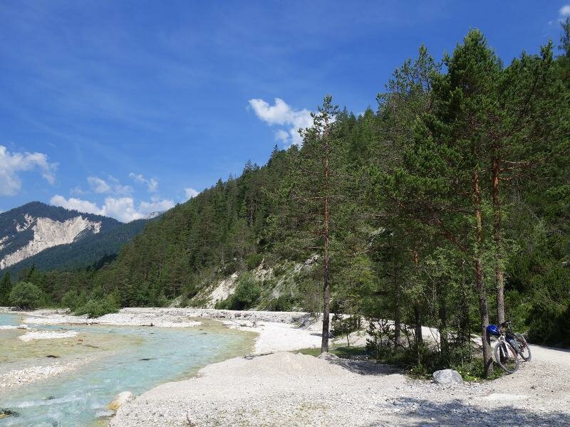
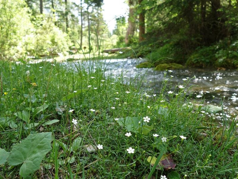
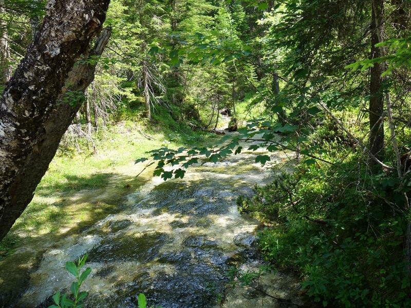
On the northern side of the valley, after the Gleirischhöhe hill, the Isar Cycle Route leads slightly downhill again to the banks of the Isar river. The gravel road now follows the course of the river to the Isar origin called "bei den Flüssen" (at the rivers) where underground watercourses from the Karwendel Mountains rise to the surface. As the Hinterautal MTB route, the gravel road continues about 2 km into the valley to the Kasten Mountain Hut (Kastenalm), where the valley divides. This tour, for which a MTB is recommended, can be classified as easy and offers the scenic beauty of the Karwendel Nature Park - from the impressive limestone mountains to the turquoise-blue waters of the Isar, with the natural highlight the source of the Isar river.
- Train & Bike: local train/city train connection in Scharnitz and Mittenwald (connection to Seefeld/Innsbruck resp. Munich)
- Extended tour: by MTB further to the Halleranger Mountain Hut (1,770 m a.s.l.), approx. 5 km and 600 m in altitude in addition
Attention: The described cycle routes are only sectionally cycle paths in the narrower sense. They often proceed on byroads where also car and tractor traffic is allowed. Please take care!
-
- Starting point:
- Mittenwald (910 m a.s.l.)
-
- Overall time:
- 01:45 h
-
- Total route length:
- 22,1 km
-
- Altitude:
- from 910 m to 1.214 m
-
- Altitude difference (uphill | downhill):
- +350 m | -53 m
-
- Signposts:
- Isar Radweg IS, Hinterautal MTB route, no. 578
-
- Destination:
- Kasten Alm Mountain Hut (1,225 m a.s.l.)
-
- Track surface:
- near Scharnitz some asphalted sections, about 90% gravel road
-
- Recommended time of year:
- Jan Feb Mar Apr May Jun Jul Aug Sep Oct Nov Dec
-
- Download GPX track:
- Isar Cycle Route