The highest summit of the High Tauern is the Grossglockner, the “King of the Eastern Alps” with its majestic 3,798 metres
Image gallery: High Tauern
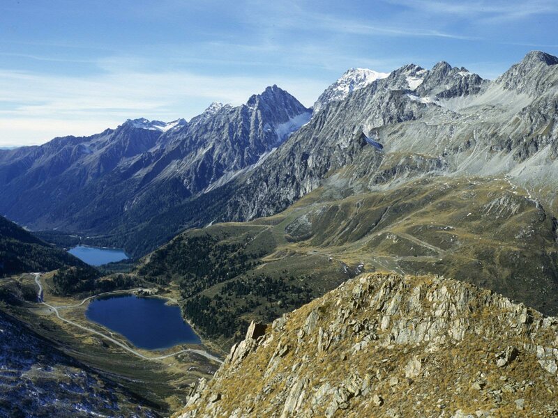
The High Tauern span in Salzburg, Carinthia and East Tyrol and are a central alpine high mountain area. They are devided in several subgroups, including the Villgraten Mountains and the Venediger Group. The High Tauern prevalently consist of crystalline stones and slate - their composition is rather complex. The 120 km long ridge of mountains represents the heart of the Eastern Alps.
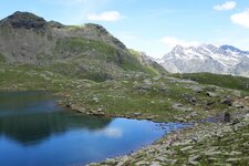
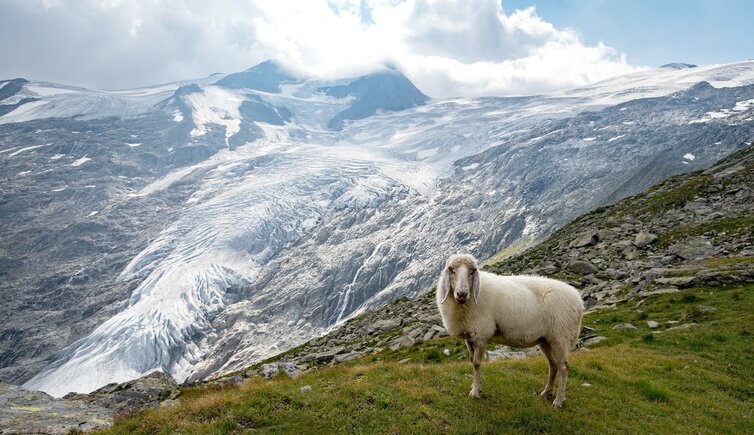
In the Hohe Tauern, how they are called in German, ice starts to be found between 2,700 and 2,900 m a.s.l. In the north there is the valley of the Salzach river, in the south the Drau Valley, while the western border is represented by the Krimmler Ache river and the Aurina Valley in Italy. In the east there are the Grossarl Valley and the famous Katschberg Pass. The most important traffic junctions are the Felbertauern and Katschberg Tunnels and the Grossglockner High Alpine Road.
Peaks: The highest and best-known peak is Mt. Grossglockner, the highest mountain in all of Austria. Other important Tauern peaks are Mt. Grossvenediger (3,666 m a.s.l.), Mt. Grosser Muntanitz (3,236 m a.s.l.), Mt. Hocharn (3,254 m a.s.l.) and the 3,360 m high Hochalmspitze.
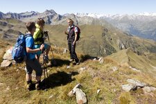
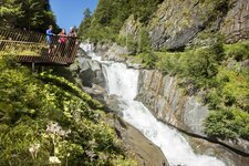
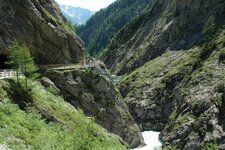
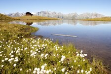
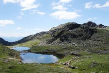
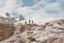
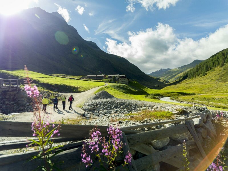
Trails: With an area of 1,836 sqkm, the High Tauern National Park is the largest national park of the Alps and features an extensive network of stunning hiking trails. Also the gorges are popular, such as the Gasteiner Gorge, the Liechtenstein Gorge, and the Kitzlochklamm in the middle of the Salzburger Land. All of them can be explored on secure bridges and paths.