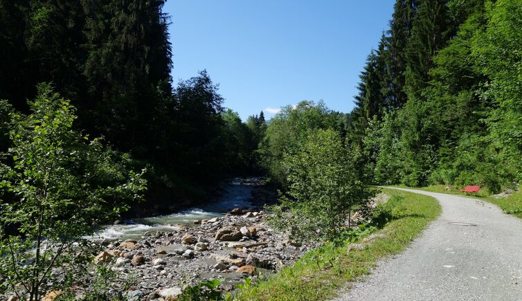
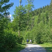
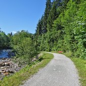
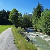
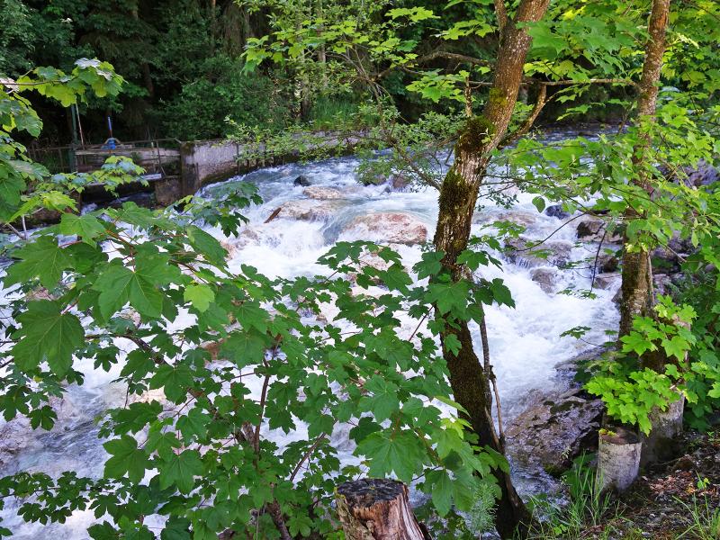
A pleasant promenade path leads through the Spertental valley south of Kirchberg in Tirol along the banks of the wildly rushing Aschauer Ache
Image gallery: Hike on the Achenweg path at Kirchberg
-
-
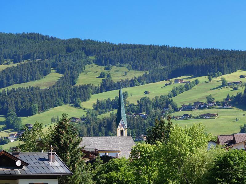
D-8252-kirchberg-in-tirol-mit-st-ulrich-von-augsburg-kirche.jpg
-
D-8263-uferweg-aschauer-ache-radroute-204-205.jpg
-
D-8264-uferweg-aschauer-ache-radroute-204-205.jpg
-
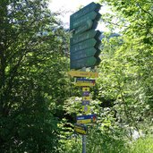
D-8266-wegweiser-wanderwege-spertental-bei-kirchberg.jpg
-
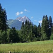
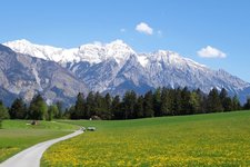
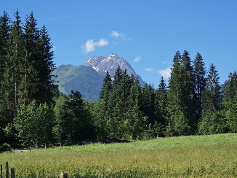
D-8274-blick-auf-vermutlich-grosser-rettenstein-ab-kirchberg.jpg
-
D-8277-uferweg-aschauer-ache-radroute-204-205.jpg
-
D-8276-kinderspielplatz-am-rad-wanderweg-spertental-ufer-aschauer-ache.jpg
-
D-8279-uferweg-aschauer-ache-radroute-204-205.jpg
-
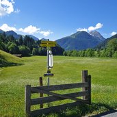
D-8281-wegweiser-wanderwege-spertental-kirchberg-aschau-und-mtb-routen.jpg
-
D-8287-uferweg-aschauer-ache-radroute-204-205.jpg
-
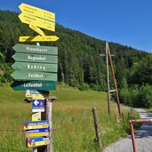
D-8290-mtb-radroute-wanderweg-kirchberg-nach-aschau-spertental-wegweiser.jpg
-
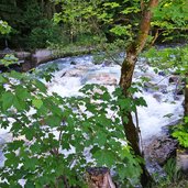
D-8298-aschauer-ache.jpg
-
D-8302-mtb-radroute-wanderweg-kirchberg-nach-aschau-spertental.jpg
-
D-8306-wiesen-bei-gruendau-bei-aschau-fr4.jpg
-
D-8313-mtb-radroute-wanderweg-kirchberg-nach-aschau-spertental.jpg
-
D-8316-grafen-weg-bei-aschau-wiesen-fr1.jpg
-
D-8321-mtb-route-bei-aschau.jpg
-
D-8330-aschau-gruendau.jpg
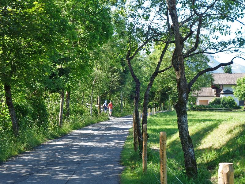
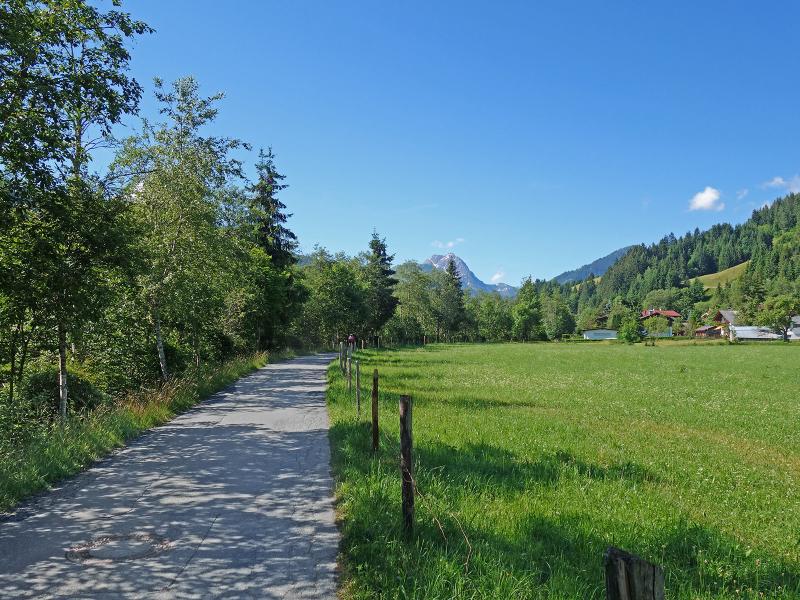
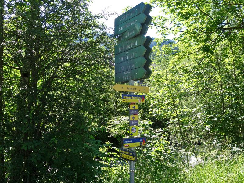
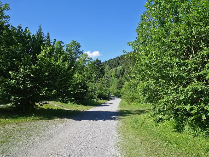
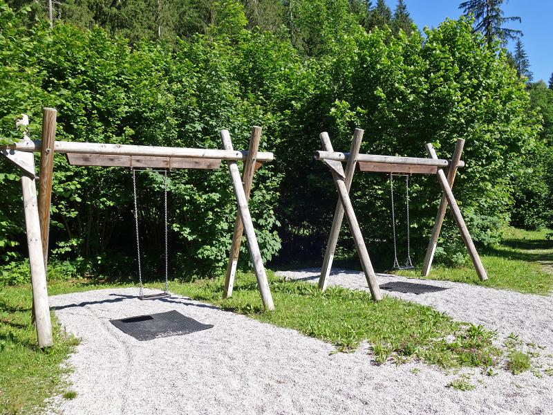
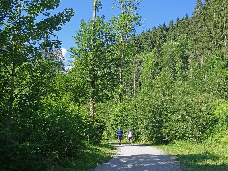
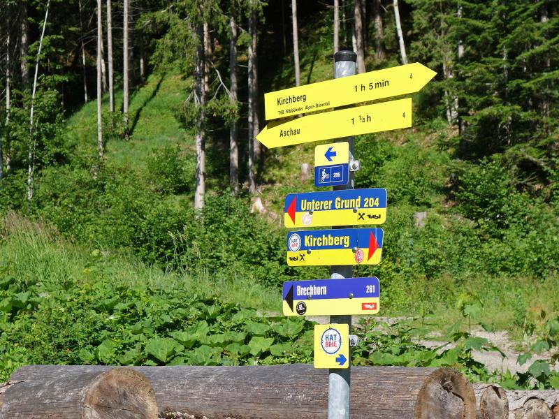
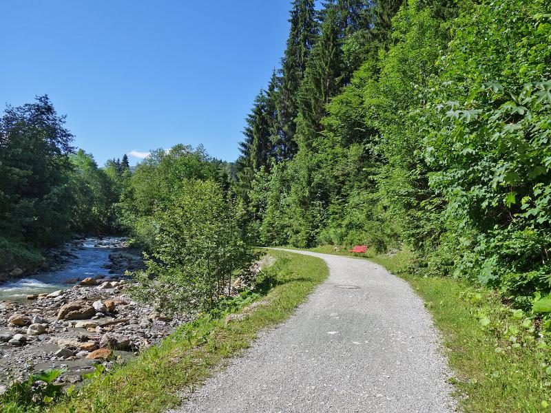
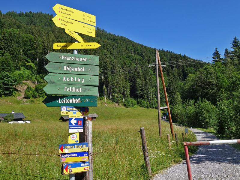
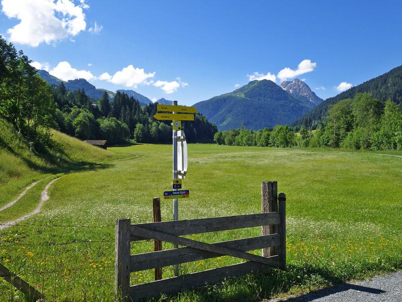
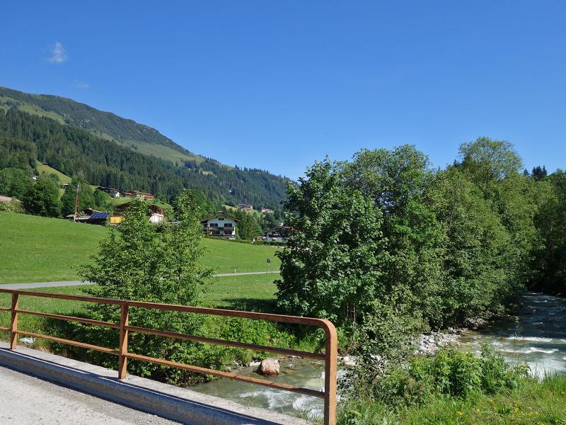
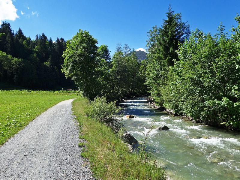
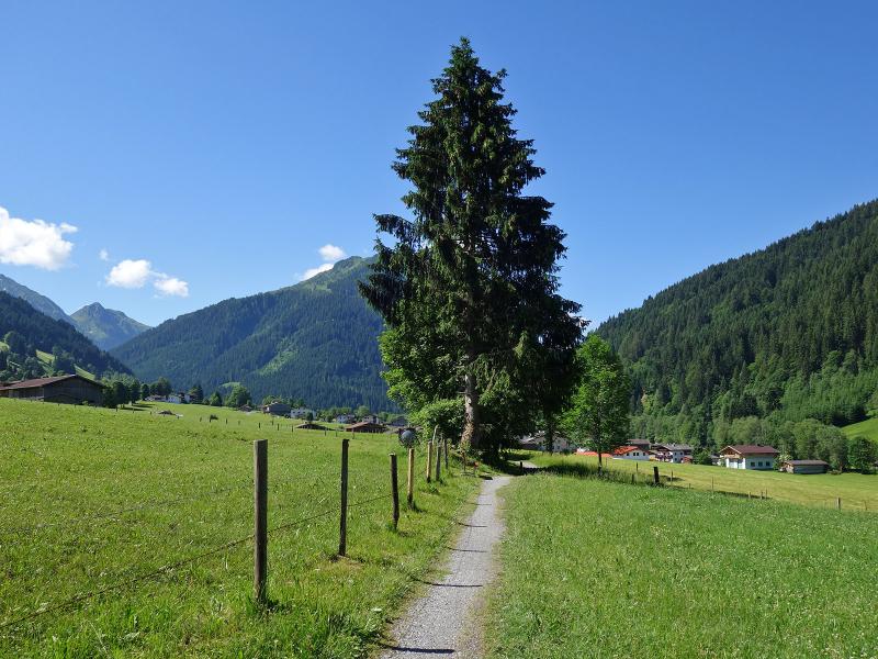
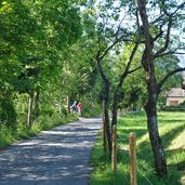
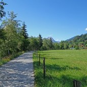
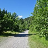
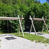
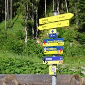
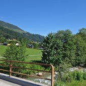
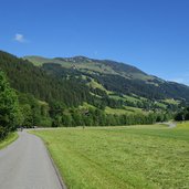
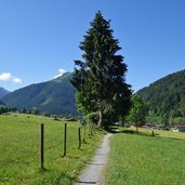
Starting from the centre of Kirchberg in Tirol we follow the course of the Aschauer Ache upstream. The Achenweg path starts at the level of the valley station of the Gaisberg Lift: As an asphalt road, it runs along the western side of the Ache, on the eastern bank accompanied by a pebble path. After about 1.5 km, the road is replaced by a gravel path that leads through the forest at the bottom of the valley. Passing the adventure playground and the picnic area at the BMX track, the trail continues to the bridge at the Schiedweg, not far from the valley station of the Pengelstein Cable Car. We stay true to the path along the shore of the Ache river and cross the valley road at the level of the Reiserer Inn, where we follow the last section to Brügglbach.
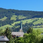
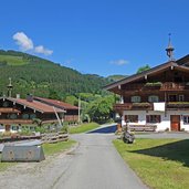
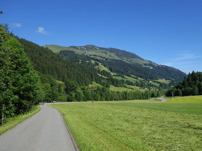
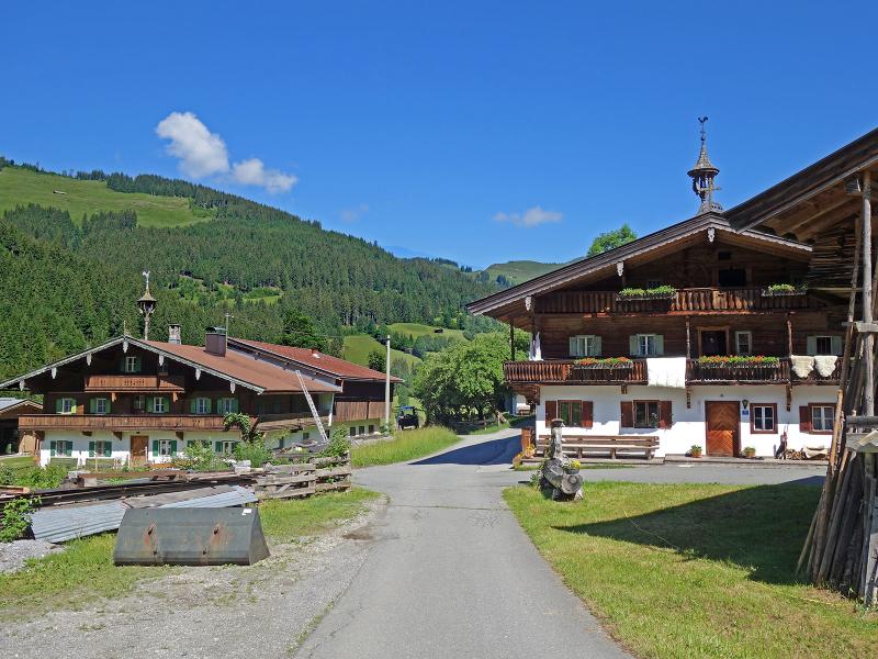
About 50 more minutes are to be planned if you want to continue on to Aschau (1,015 m a.s.l.). The path changes to the east side of the Aschauer Ache, follows a short ascent along the Siegelbach stream (Grafen-Weg path) and then leads past farms to the centre of the village to the Holy Cross Church. It should not be forgotten that the entire route described here is also part of cycle route 204, and the wide path is therefore to be shared with the bikers. It doesn't matter whether you extend the walk up to here or just follow the route to Brügglbach - you can alternatively take the public bus back to Kirchberg.
Author: AT
-
- Starting point:
- Kirchberg in Tirol (village centre)
-
- Time required:
- 02:45 h
-
- Track length:
- 10,9 km
-
- Altitude:
- from 815 m to 933 m
-
- Altitude difference:
- +129 m | -129 m
-
- Signposts:
- Achenweg, Aschau
-
- Destination:
- Brügglbach (Ki-West Cable Car station)
-
- Recommended time of year:
- Jan Feb Mar Apr May Jun Jul Aug Sep Oct Nov Dec
-
- Download GPX track:
- Hike on the Achenweg path at Kirchberg
If you want to do this hike, we suggest you to check the weather and trail conditions in advance and on site before setting out.