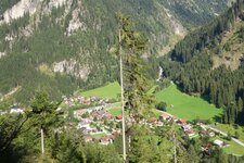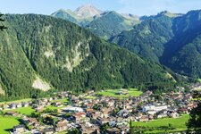
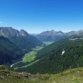
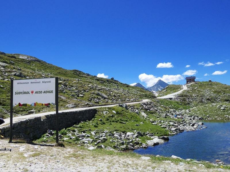
In the Zemmgrund, a side valley in the back Zillertal valley, we follow the Rio Zams until the water divide on the main Alpine ridge, near the popular Passo di Vizze - or Pfitscherjoch - Mountain Hut
Image gallery: Hike to the Lafitzalm mountain hut
-
-
D-0867-schlegeisspeicher-see-staumauer.jpg
-
D-0865-schlegeisspeicher-see.jpg
-
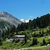
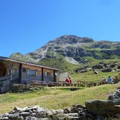
D-0853-zamsereck-huette-zillertal.jpg
-
D-0849-dornauberg-zamsergrund-im-zillertal.jpg
-
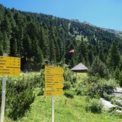
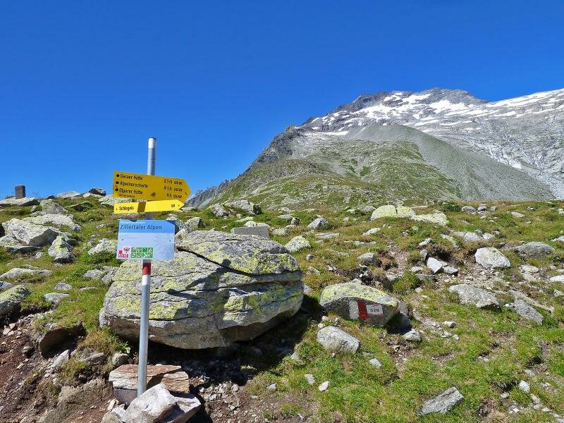
D-0848-weg-524-zillertal-wegweiser-bei-zamsergrund-dornauberg.jpg
-
D-0845-weg-524-zillertal.jpg
-
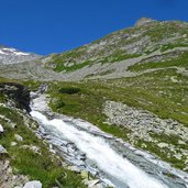
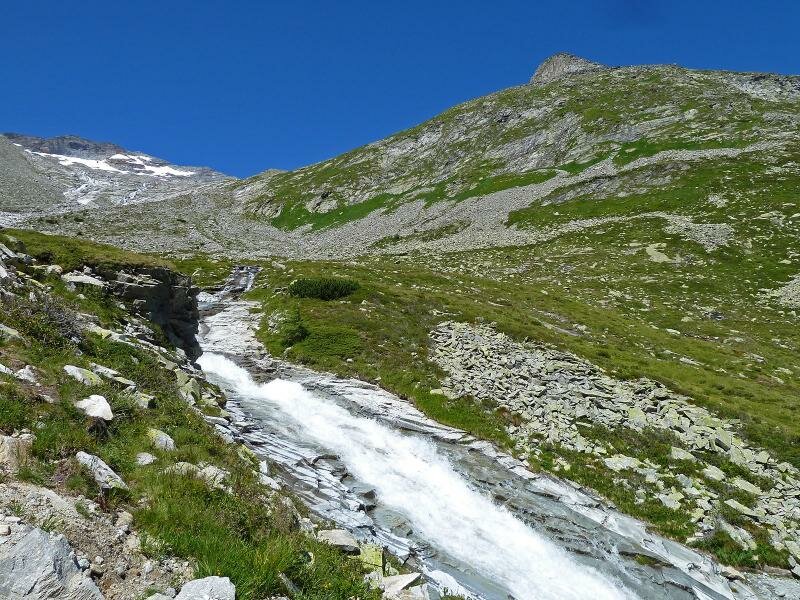
D-0843-weg-524-zillertal-zamser-bach.jpg
-
D-0840-weg-524-zillertal-zamser-bach.jpg
-
D-0837-weg-524-zillertal.jpg
-
D-0831-weg-524-zillertal-zamser-bach.jpg
-
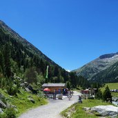
D-0830-lafitz-alm-zillertal.jpg
-
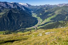
D-0828-oberes-zillertal-zamser-bach-wanderer.jpg
-
D-0823-oberes-zillertal-zamser-bach.jpg
-
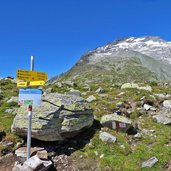
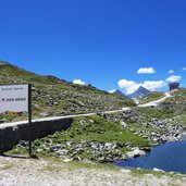
D-0818-wanderwege-wegweiser-zillertal-bei-pfitscherjoch.jpg
-
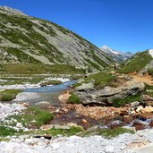
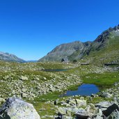
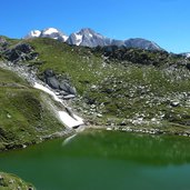
D-0815-seen-bergseen-am-pfitscherjoch-staatsgrenze-suedtirol.jpg
-
D-0800-pfitscherjoch-seen.jpg
-
D-0811-seen-bergseen-am-pfitscherjoch.jpg
-
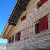
D-0804-pfitscherjoch-haus.jpg
-
D-0796-pfitscherjoch-strasse-aussicht-pfitschtal.jpg
-
D-0061-schlegeisspeicher-see-im-zillertal.jpg
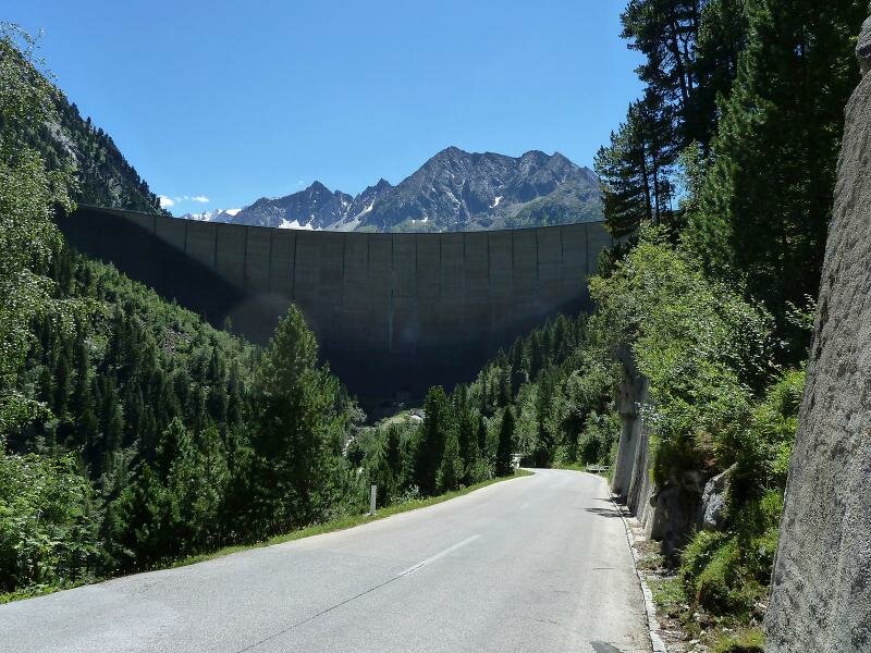
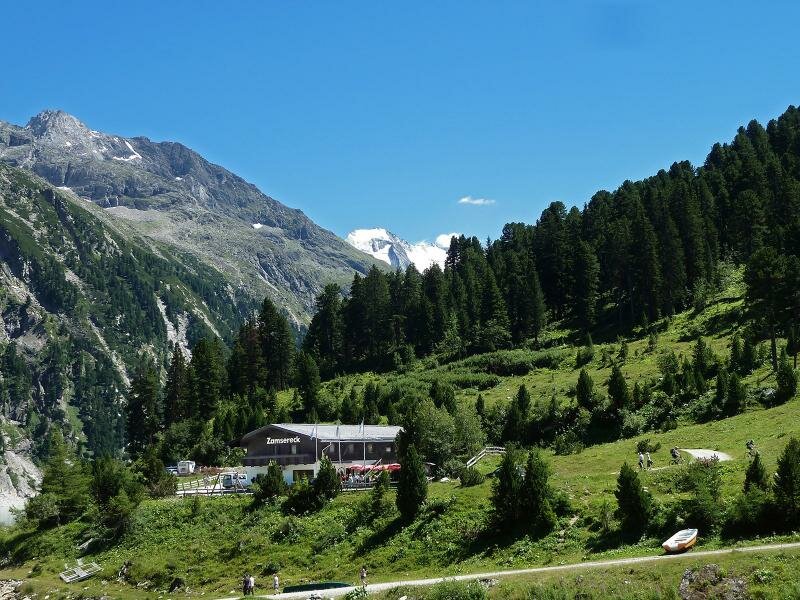
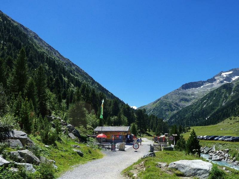
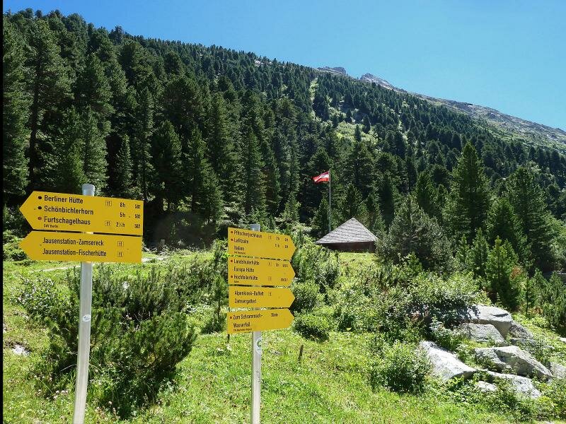
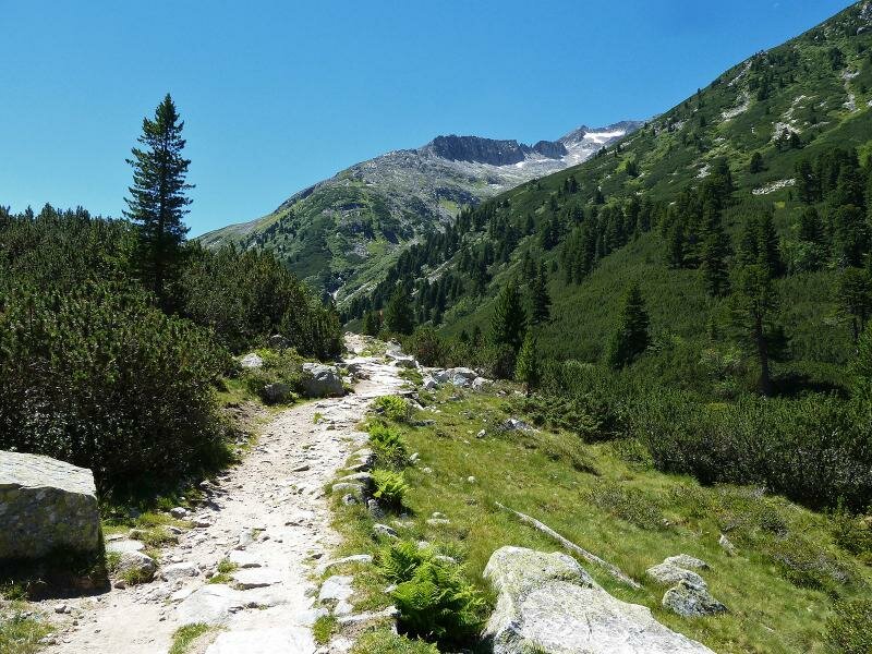
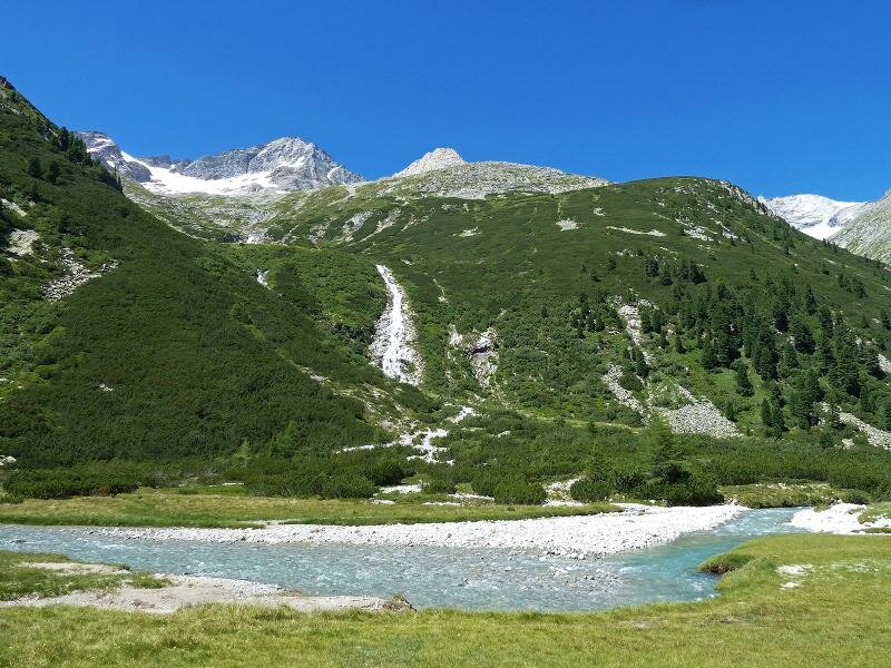
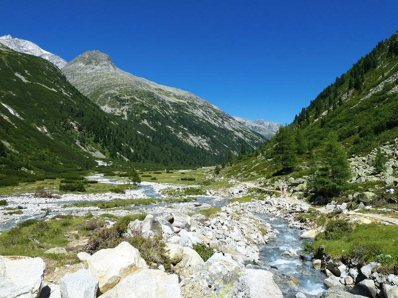
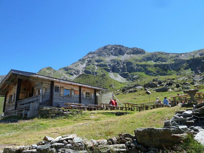
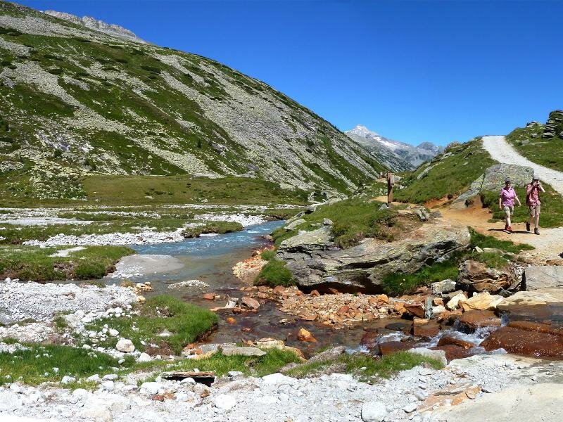
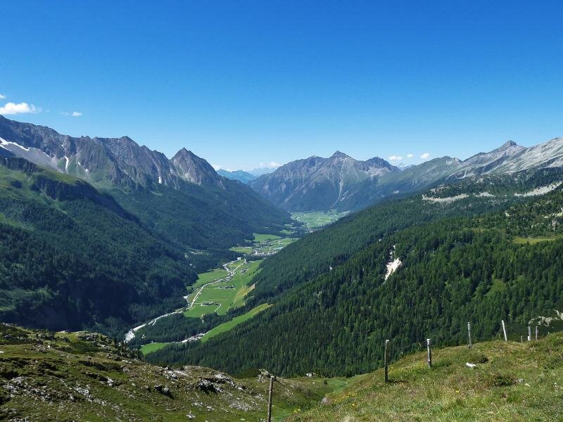
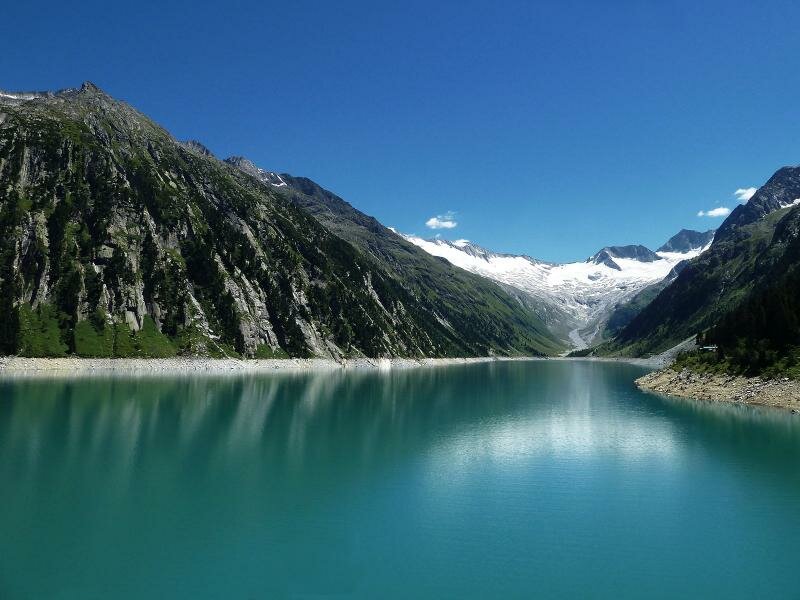
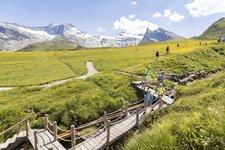
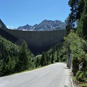
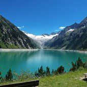
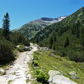
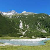
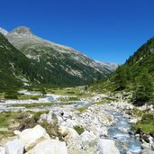
Starting point of our hike is the Schlegeis Basin at almost 1,800 m a.s.l., accessible from Mayrhofen via Ginzling and further along the toll road. At the parking space at the lake we take the path no. 524 towards south. We walk constantly uphill parallel to the wild Rio Zams and pass the timberline. After about 1.5 hours we reach the little Lafitz Mountain Hut at about 2,100 m a.s.l. (rest point).
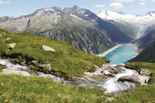
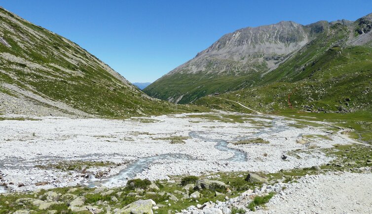
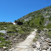
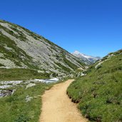
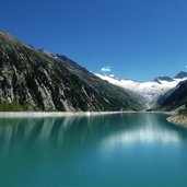
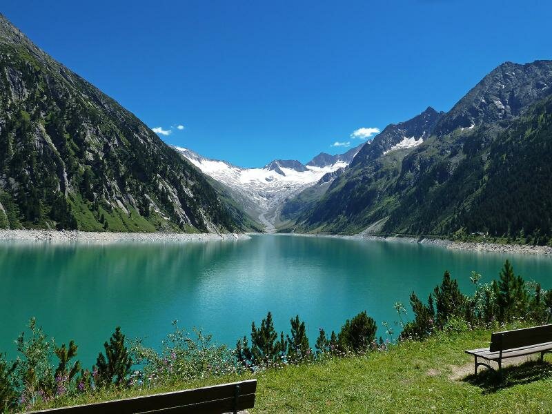
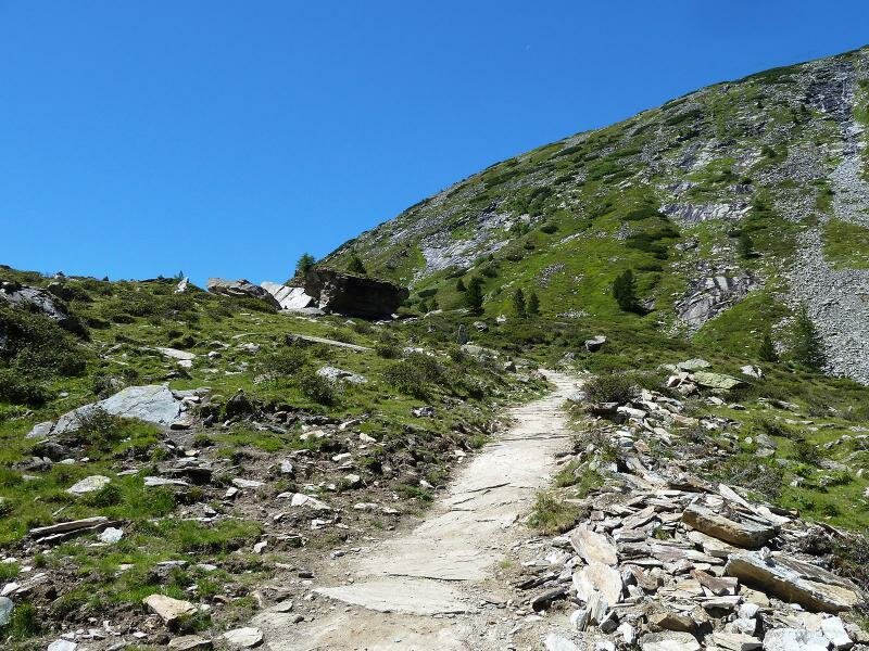
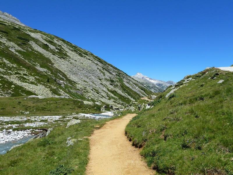
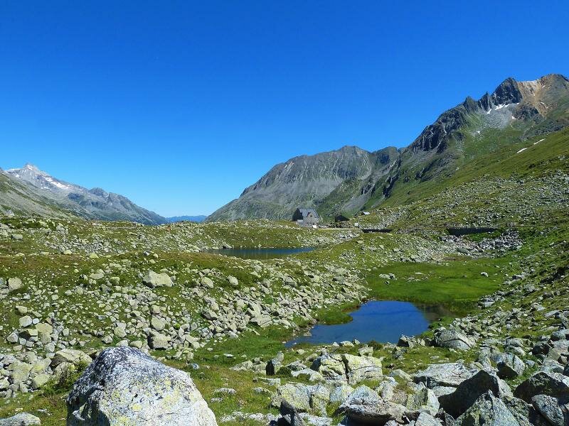
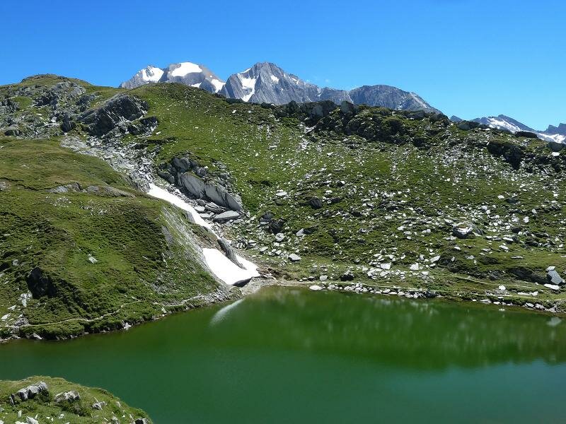
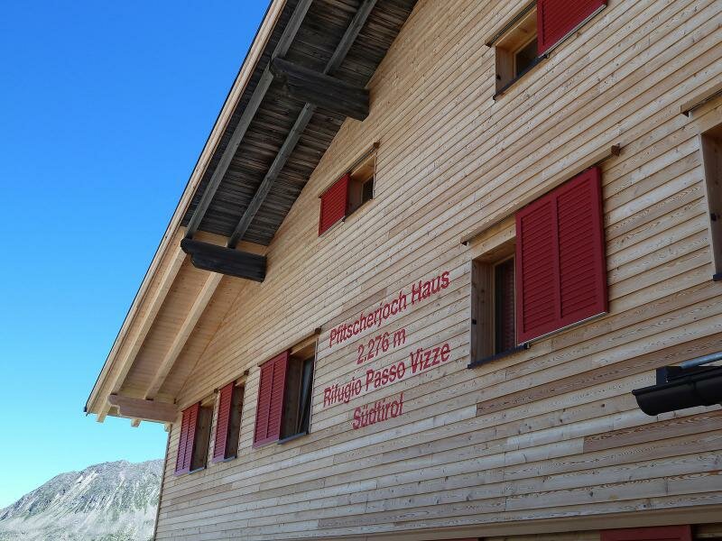
The last section up to Vizze Pass (Pfitscher Joch) proceeds along a gravelled road which leads us across the water divide and the border to South Tyrol. Immediately after the border stone, the Passo di Vizze Mountain Hut (Pfitscherjoch-Haus, 2,276 m a.s.l.) is located, amidst a plateau of little mountain lakes in which the sky is reflected. A little further on we enjoy the view on the South Tyrolean Val di Vizze. To come back to the Schlegeis Basin we take the same route and enjoy once again the turquoise reservoir at the foot of the Zillertal Glaciers. By the way, there are several rest points near the parking space.
Author: AT
-
- Starting point:
- parking space at the Schlegeis Basin, Zemmgrund (Zillertal valley)
-
- Time required:
- 04:15 h
-
- Track length:
- 13,5 km
-
- Altitude:
- from 1.779 m to 2.277 m
-
- Altitude difference:
- +537 m | -537 m
-
- Route:
- Schlegeis Basin - Lafitz Alm Mountain Hut - border stone - Pfitscherjoch-Haus Mountain Hut
-
- Signposts:
- no. 524
-
- Destination:
- Pfitscher Joch (Pass)
-
- Resting points:
- Zamsgatterl, Lavitz Alm, Pfitscher Joch Haus
-
- Recommended time of year:
- Jan Feb Mar Apr May Jun Jul Aug Sep Oct Nov Dec
-
- Download GPX track:
- Hike to the Lafitzalm mountain hut
If you want to do this hike, we suggest you to check the weather and trail conditions in advance and on site before setting out.