Following the course of the Sill river, the Wipptal - or Brenner - Cycle Route connects the Brenner Pass with Innsbruck
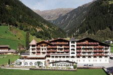
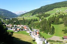
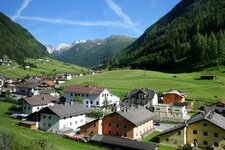
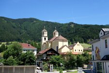
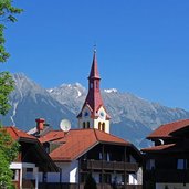
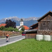
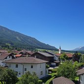
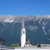
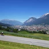
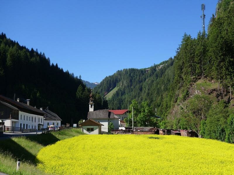
Image gallery: Wipptal Cycle Route
-
-
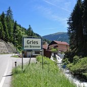
D-0001-1905-obernberger-seebach-fliesst-in-sill-bei-gries-am-brenner.jpg
-
D-0895-steinach-am-brenner-ortsteil-stafflach.jpg
-
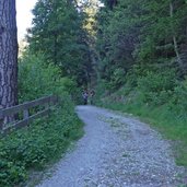
D-0896-beginn-radweg-wipptal-ibk-bei-stafflach.jpg
-
D-0897-radweg-bei-steinach-am-brenner.jpg
-
D-0914-wipptal-radweg-bei-steinach-richtung-innsbruck.jpg
-
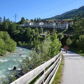
D-0917-sill-radweg-wipptal-nach-innsbruck.jpg
-
D-0923-sill-radweg-bei-matrei-dahinter-ausserweg-gemeinde-navis.jpg
-
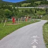
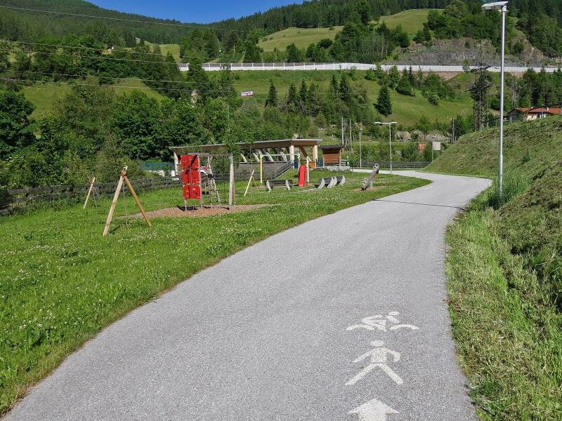
D-0924-sill-radweg-bei-matrei-spielplatz.jpg
-
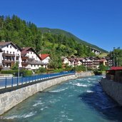
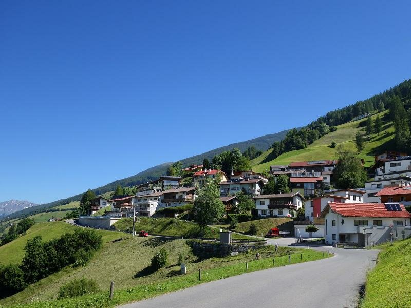
D-0927-matrei-am-brenner.jpg
-
D-0954-wipptal-bei-pfons-margareta-und-waldfrieden-fr1.jpg
-
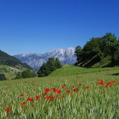
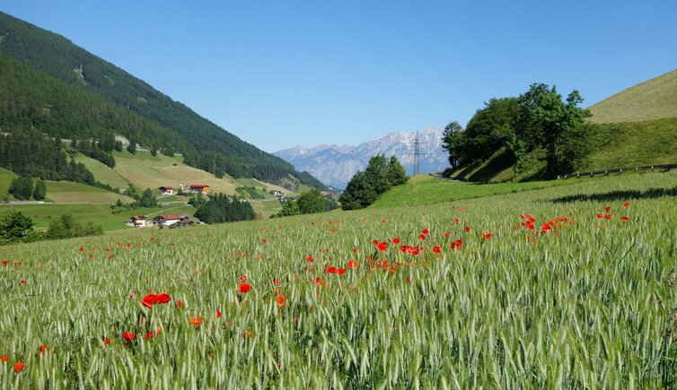
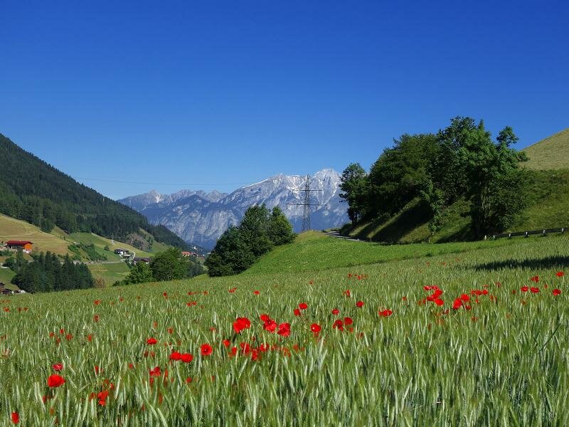
D-0975-wipptal-getreidefelder-bei-pfons-mit-mohnblumen.jpg
-
D-0978-pfons-wiesengrund-hosenock.jpg
-
D-0995-ellboegen-ortschaften-innerellboegen-und-penzen-fr4.jpg
-
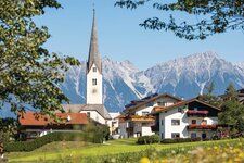
D-1017-st-peter-in-ellboegen-1.jpg
-
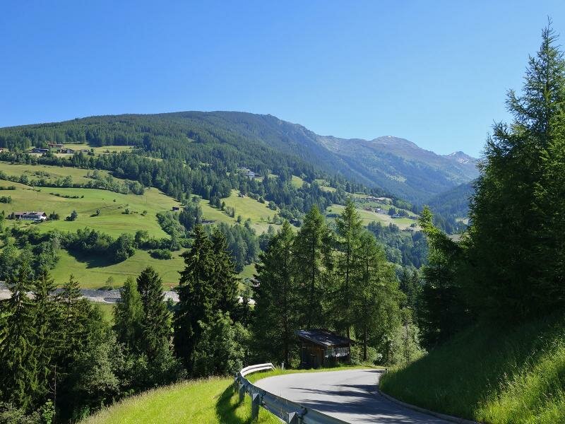
D-1048-aussicht-nach-schoenberg-im-stubaital-fr7.jpg
-
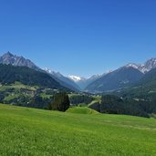
D-1052-aussicht-vom-stubaital-bis-nach-patsch-fr1.jpg
-
D-1058-aussicht-vom-stubaital-bis-nach-patsch-fr7.jpg
-
D-1102-innsbruck-ortschaft-igls.jpg
-
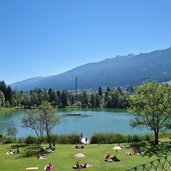
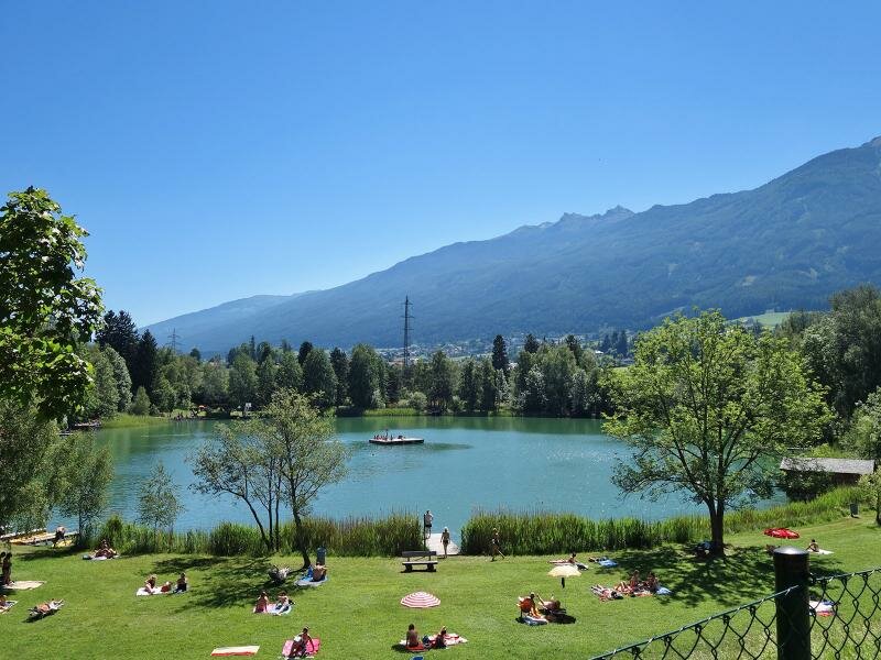
D-1125-lansersee.jpg
-
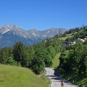
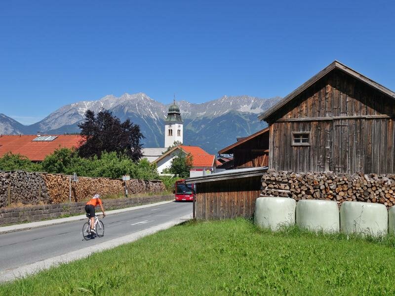
D-1131-lans-radfahrer.jpg
-
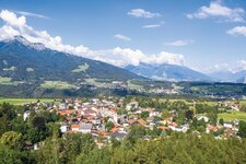
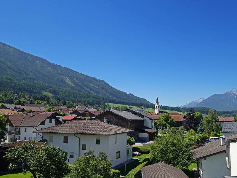
D-1161-sistrans-dorfansicht-fr2.jpg
-
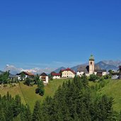
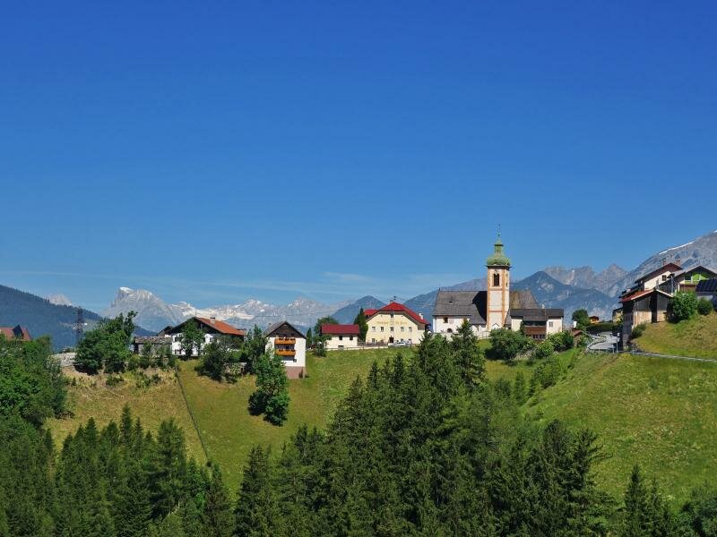
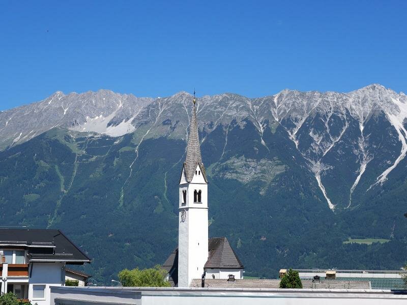
D-1172-aldrans-st-martin-kirche-dahinter-karwendel.jpg
-
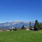
D-1187-aussicht-von-aldrans-auf-innsbruck-1.jpg
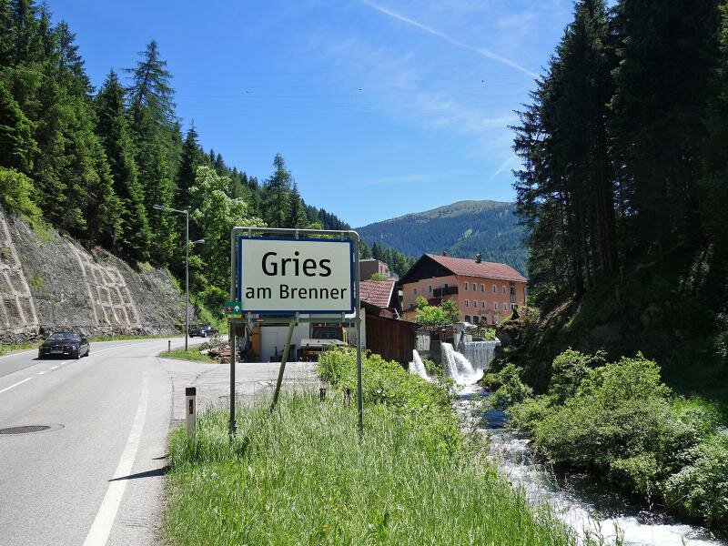
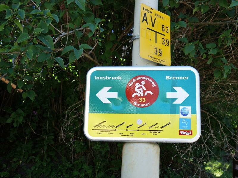
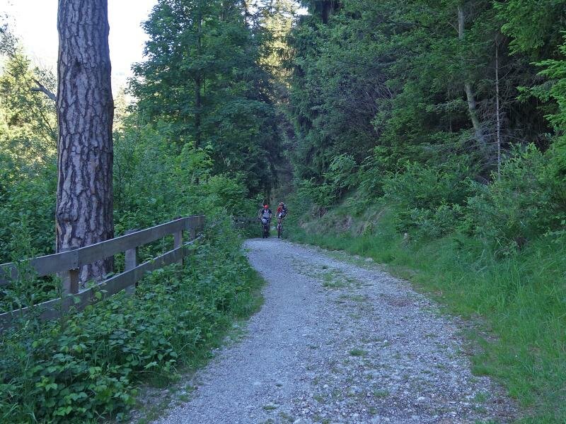
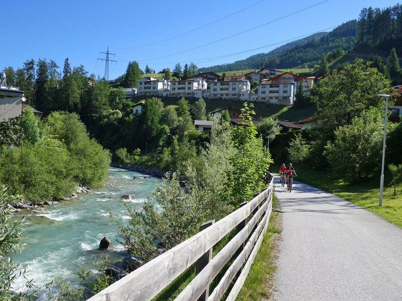
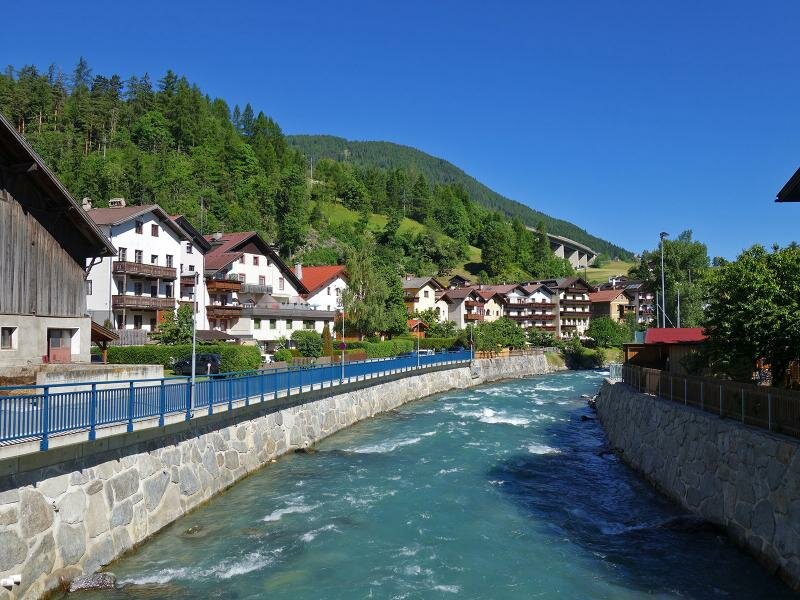
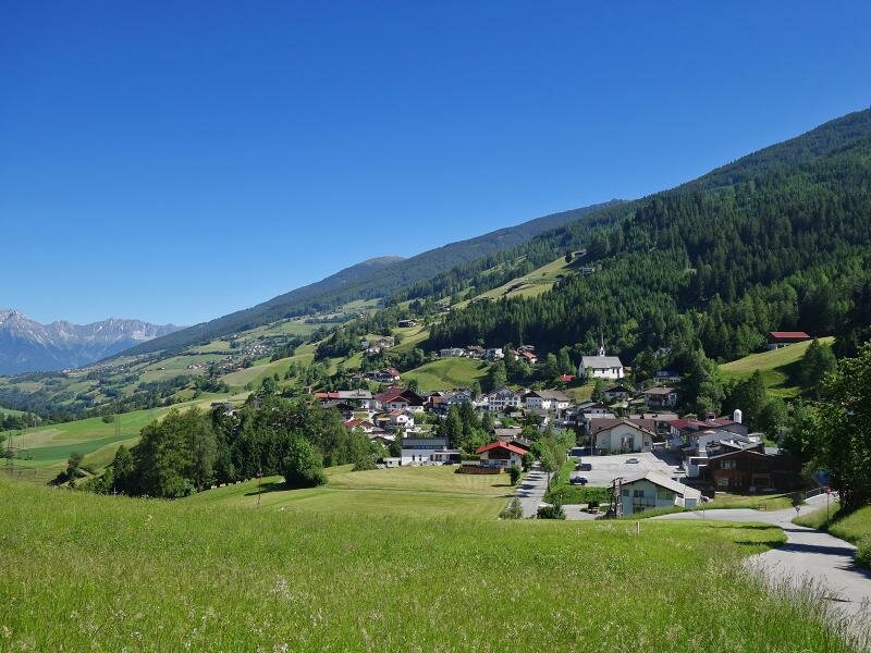
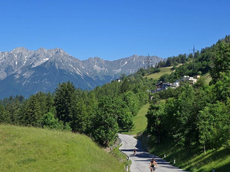
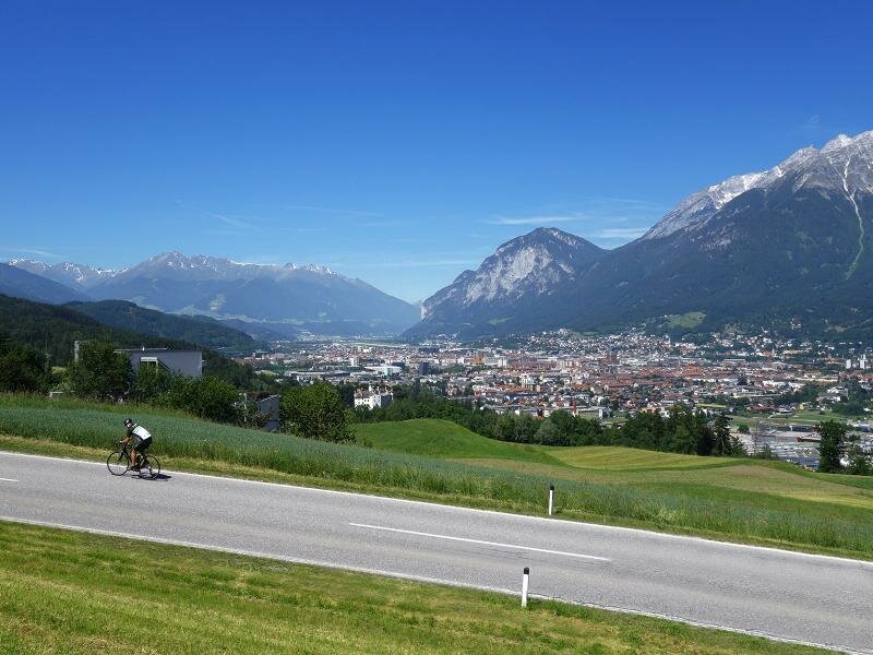
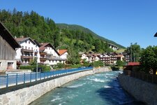
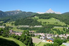
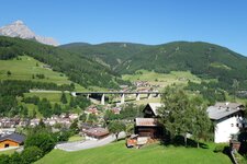
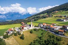
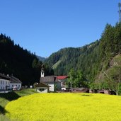
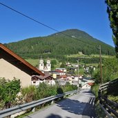
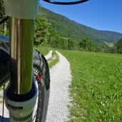
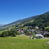
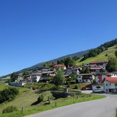
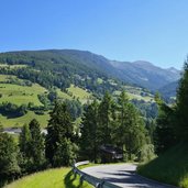
Even if a large part of the Wipptal - or Brenner - Cycle Route (Radweg Wipptal) runs on routes that have to be shared with motorised road traffic, it is one of the highlights. Starting from the Brenner Pass, the route heads north along the main road to Gries and on to Stafflach, at the turn-off to Vals. Shortly after the village, the route branches off on the right side of the road onto a gravel road, and leads down along the edge of the forest to Steinach and to Matrei am Brenner.
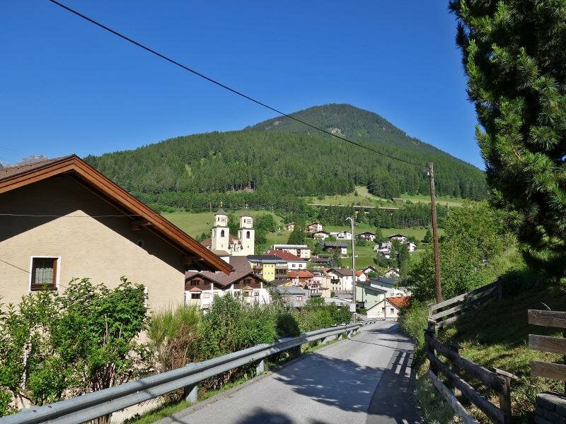
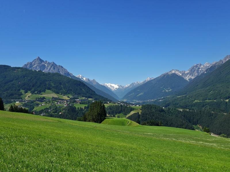
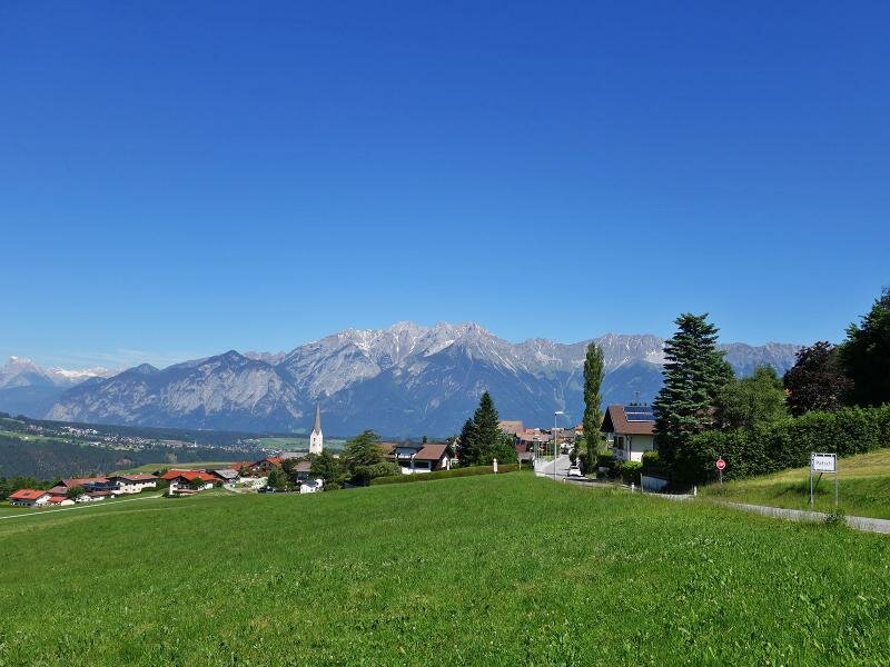
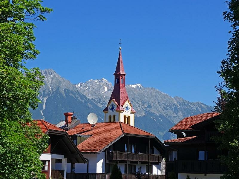
Arrived in Matrei, the cycle route leaves the valley of the Sill stream and ascends to Schöfens and Pfons, to the eastern terraces above the Wipptal valley. We cycle on the Ellbögen road towards north, uphill and slightly downhill again through several hamlets until Patsch. From here the route proceeds via Igls and Vill down to Innsbruck, where the path meets the Sill again. At the height of the town park we follow the signpost to the centre of Innsbruck, to Ottoburg Castle, where there is a connection to the Inn Cycle Route. Above all, the varied landscape from the main ridge of the Alps to the Lower Inn Valley - the Unterinntal - makes the route attractive. If you drive downhill from the Brenner Pass to Innsbruck, the 40 km can be managed in about 3 hours. If you drive in the opposite direction from Innsbruck to the Brenner Pass, it takes about one hour longer.
- Train & Bike: regional train/city train with limited transportation of bikes in the section Brenner - Innsbruck
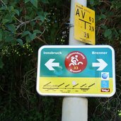
Connection to other cycle routes in Tyrol:
- on the Brenner: Alta Valle Isarco Cycle Route towards Bressanone and Bolzano in South Tyrol
- in Innsbruck: urban cycle network and Inn Cycle Route - Tiroler Oberland R1 and Inn Cycle Route - Tiroler Unterland R2
Attention: The described cycle routes are only sectionally cycle paths in the narrower sense. They often proceed on byroads where also car and tractor traffic is allowed. Please take care!
-
- Starting point:
- Brenner Pass (1,370 m a.s.l.)
-
- Time required:
- 02:40 h
-
- Track length:
- 40,0 km
-
- Altitude:
- from 578 m to 1.379 m
-
- Altitude difference:
- +269 m | -1065 m
-
- Signposts:
- Radroute Brenner - Innsbruck, Wipptal
-
- Destination:
- Innsbruck (575 m a.s.l.)
-
- Track surface:
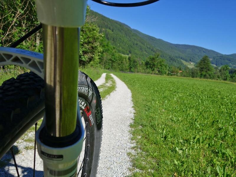
- about 11 km marked bike trail and cycle paths, 8 km A-Road, 21 km state road - altogether about 3 km gravel surface and 37 km asphalt
-
- Recommended time of year:
- Jan Feb Mar Apr May Jun Jul Aug Sep Oct Nov Dec
-
- Download GPX track:
- Wipptal Cycle Route