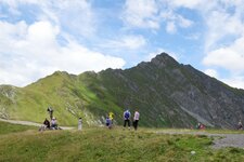
From the mountain climber village of Schmirn, a hike takes you to Lake Ramsgrubner, located at more than 2,000 m a.s.l
Image gallery: Schmirn
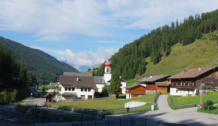
Altitude 1,407 m a.s.l.
The municipal area of Schmirn extends to the Tux Main Ridge with the striking Olperer (3,476 m a.s.l.). A part of the locality St. Jodok belongs to the village, while the southern parts are part of Vals in Nordtirol. Up to the year 1926, even Hintertux in the rearmost Zillertal valley was part of the municipality Schmirn. Via the Tuxer Joch pass, the Romans invaded this area and farmed the land.
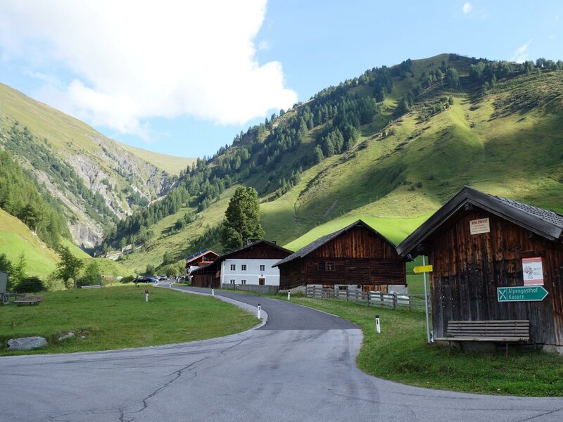
One of the highlights in Schmirn is the Herb and Alpine Flower Garden, which offers various types of medical herbs, aromatic herbs, spice-herbs and Alpine flowers. It is an interesting barrier-free circular trail, accessible via a wooden path from the hamlet of Toldern. In a 30-minute walk it takes you in the valley basin through the localities of Toldern and Hochmark. Recently, the garden has been redesigned and upgraded by a "Schnapsgartl" (Schnapps Garden).
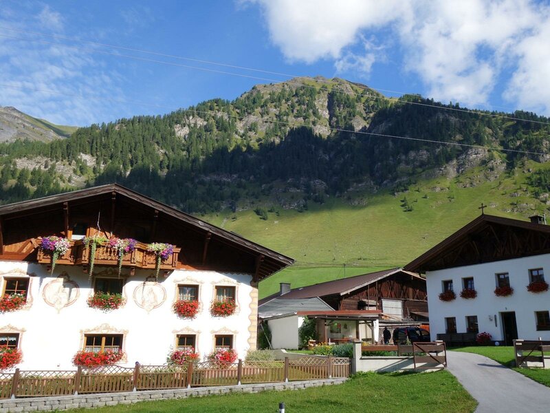
However, at 1,750 m a.s.l. there is the Mariahilf Pilgrimage Church, which is called "Zur Kalten Herberge" (Cold Shelter). The path leads you from the parking space at Holzeben to the chapel on a clearing. There is also a legend regarding this little church, telling about a hunter that found a woman and her child seeking shelter from the weather under a spruce. The hunter called it "a cold shelter". In the surroundings there is considered to be a healing spring.