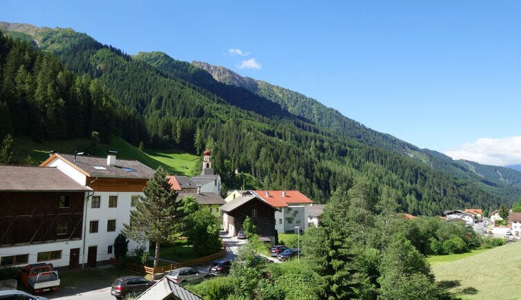
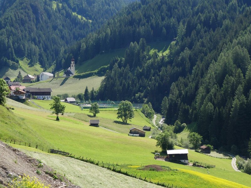
In Navis, only a stone’s throw from the chapel of Aufenstein Castle, there is the St. Catherine Parish Church enthroned on a hill
Image gallery: Navis
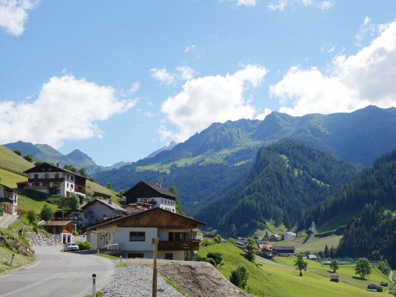
Altitude: 1,337 m a.s.l.
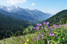
Navis is located in the 10 km long Navistal valley, a side valley of the Wipptal. It branches off at Matrei am Brenner. The municipal area stretches from the Sill river to the 2,539 m high Klammjoch ridge and Mt. Lizumer Reckner in the Tux Alps. The name of the village derives from "nav" (run) resp. from the Latin term "in abisso" (in the gorge), referring to the narrow and steep valley. Already the Baiovarii used this area as pasture-land and hunting area, before it was permanently settled. Many farms have been in the hands of the same family for centuries now.
At the entrance of the Navis Valley there is the impressive ruin of Aufenstein Castle, which is part of the municipality of Matrei am Brenner. In the Middle Ages it was erected as family seat for the Lords of Aufenstein, and destroyed by the troupes of Margarete Maultasch soon after. What was left, was the castle chapel characterized by one of the most beautiful and important early Gothic frescoes of North Tyrol. The other parts were used to build the parish church of Navis.
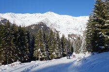
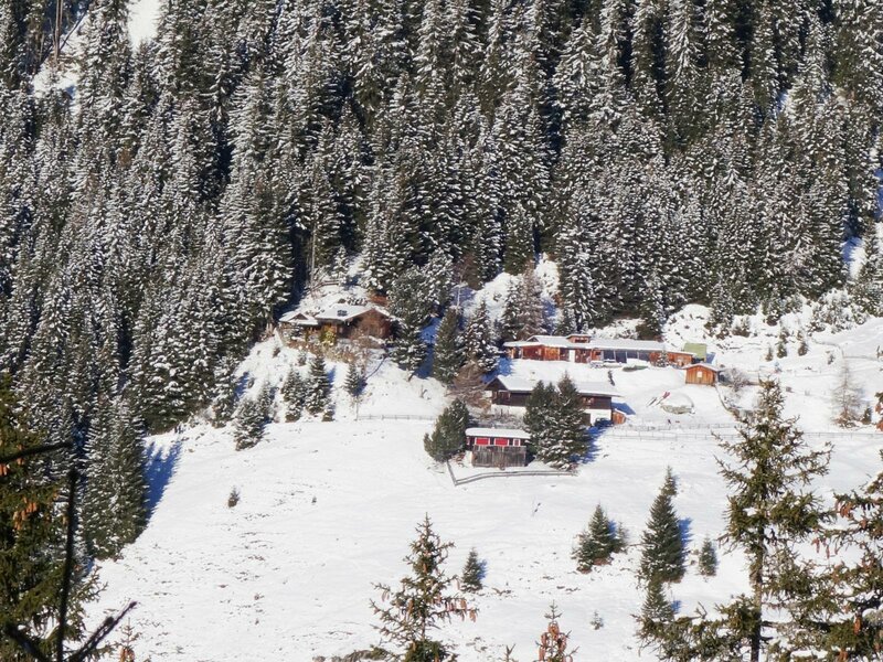
The Navis Alpine Pasture Hike takes you in summer to the Peer Hut and further on to the Klamm Hut, then the trail proceeds to the Poltn Hut and the Stöckl Hut, offering a great view on the surrounding peaks. In winter, however, Navis turns into a special destination for ski tourers - or maybe you prefer a toboggan ride on the Peeralm or the Naviser Hütte toboggan runs?