Mühlbachl was the junction of two main trade routes, the one to the Brenner Pass and the Salt Road to Hall in Tirol
Altitude: 995 m a.s.l.
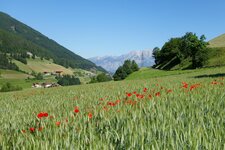
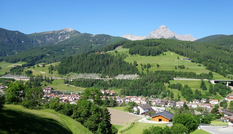
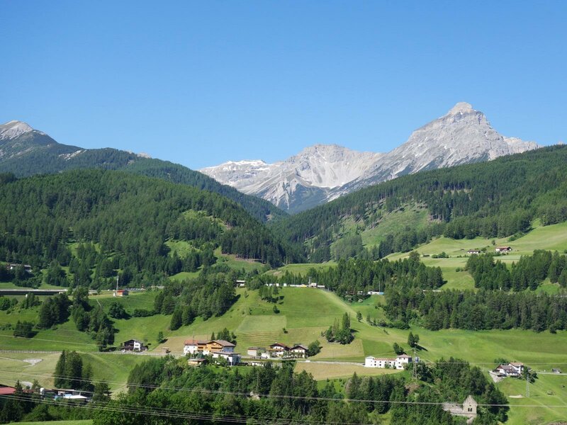
Mühlbachl is located on the west side of the Wipptal valley and is closely linked to Matrei am Brenner. The region was settled already 3,000 years ago - several Illyrian urn graves have been found here. Today, the municipal area includes the territory from the southern slope of Mt. Schönberg to the 2,718 m high Serles, and from the Matrei Forest to the Navistal valley.
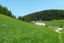
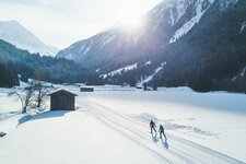
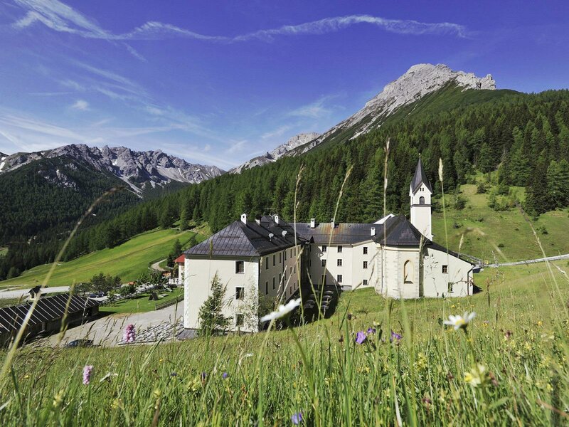
Mühlbachl has no real centre, but eight widely scattered component localities. One of them is the pilgrimage site Maria Waldrast, a beautiful hiking destination in every season. In winter, a 2-hour winter hike takes you up there, and then you may enjoy the 17 km long cross-county high-altitude track Maria Waldrast, or turn back to the valley on the toboggan run Maria Waldrast. The village itself offers a climbing wall as well as tennis courts.
According to legends, the foundation of the above mentioned pilgrimage site dates back to 1407 AD, when two shepherd boys found a statue of the Virgin Mary grown out of a tree trunk. In the 15th century, the church was built, while the convent followed about 200 years after. This Maria Waldrast Severites' Convent at the foot of Mt. Serles is considered to be the highest located convent of Central Europe. Medical properties are attached to the water of its spring.