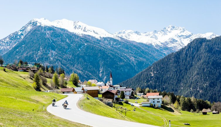
In winter, thanks to the location of Tobadill, famous skiing areas such as Ischgl and St. Anton am Arlberg are within easy reach
Image gallery: Tobadill


Altitude: 1,136 m a.s.l.
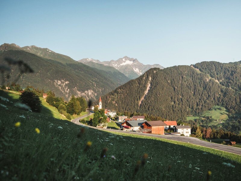
The mountain village of Tobadill was mentioned for the first time in 1275 AD and is located today on a forested hill between Perfuchsberg and the entrance to the Paznauntal valley. Its name goes back to the terms "taveldilli" or "tabulat ill", which means "little hay barn". Once upon a time, in the region iron spar and pyrite were exploited.
Before we set off towards the stunning mountain world, we would like to introduce you to two interesting buildings: on the one hand the Trisanna Bridge of the Arlberg Railway, a popular photo motif which is characterised by stone arches. The bridge, 231 m long and 86 m high, spans the Trisanna river. On the other hand, there is Castle Wiesberg: It was constructed in the 13th century by the Chur bishopric and is also depicted on the emblem of the village as red silhouette.
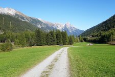
Surrounded by meadows and forests, Tobadill is a perfect place for those who seek relaxation. In the valley basin there's the Stanzertal Cycle Route which connects Flirsch to St. Anton am Arlberg, whereas the surrounding peaks offer fabulous hiking paths such as the demanding but rewarding Flath Tour with some easy climbing passages. It starts above the village and takes you to five peaks. Moreover, where the rivers Rosanna and Trisanna join, you can try rafting and kayaking.