It is said, that the Kaltenbrunn Pilgrimage Church was established by the knight Erbo Schenkenberg as penance for a murder
Image gallery: Kaunertal


Altitude: 1,287 m a.s.l.
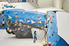
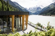
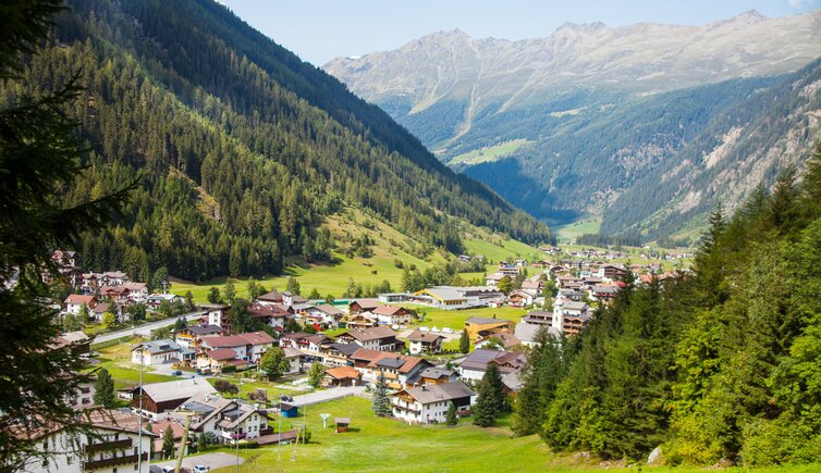
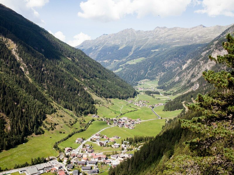
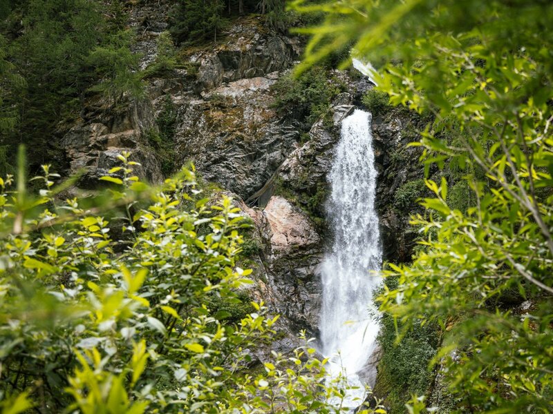
Kaunertal in the eponymous valley consists of 13 component localities, among them also the main village Feichten. With the establishment of the Gepatschspeicher in the Sixties, the area experienced an economic boost: Today, the 6 km long reservoir represents a popular destination, and is a meeting point for sport climbers who appreciate the nearby Gailwand rock wall.
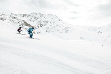
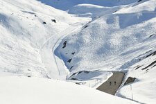
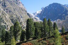
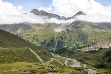
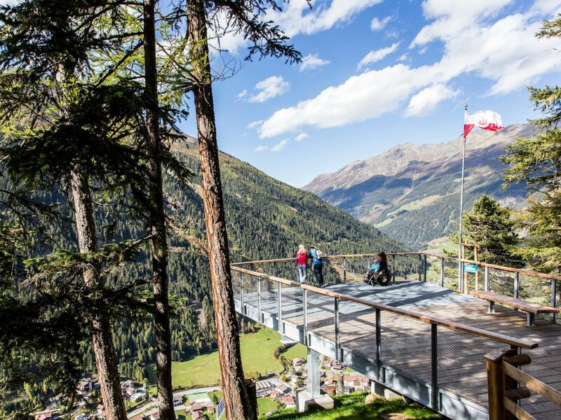
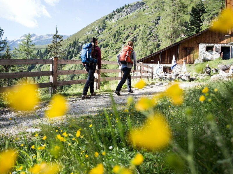
The area is located in the Kaunergrat Nature Park. There are several worthwhile destinations in the valley, such as the Kaunertal Glacier Road, starting right behind Feichten. It snakes up to the glacier of the Weissseeferner at 2,750 m a.s.l., which turns into a skiing area from autumn to early summer. Also the Verpeiltal branches off at Feichten, a high alpine valley in which the Verpeil Mountain Hut (2,025 m a.s.l.) is located. In winter, the valley is a destination for ice climbers.
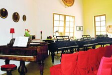
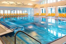
If you are interested in culture, you shouldn't miss a visit to the two small museums of Kaunertal. The Valley Museum in the hamlet of Platz offers eight rooms with many interesting objects which tell about the life in the valley. The museum in another component locality, Nufels, is aimed at music lovers. The piano house of Anton Wille has a particular layout, shaped like a grand piano, and houses the Grand Piano Museum Nufels with its stunning historical grand pianos. For total relaxation after an active day, you can rely on the team of the Quellalpin Kaunertal.