Already in the 13th century mining started flourishing in Schlaiten, when silver was found in the area
Image gallery: Schlaiten
.JPG)
Altitude: 876 m a.s.l.
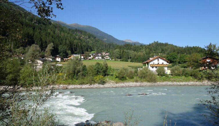
Schlaiten, made up of the six component localities Plone, Gonzach, Mesnerdorf, Bacherdorf, Gantschach and Göriach, is a small municipality on a terrace above the Isel Valley. Its name probably derives from the Proto-Slavic term "Soltina", which means "swamp".
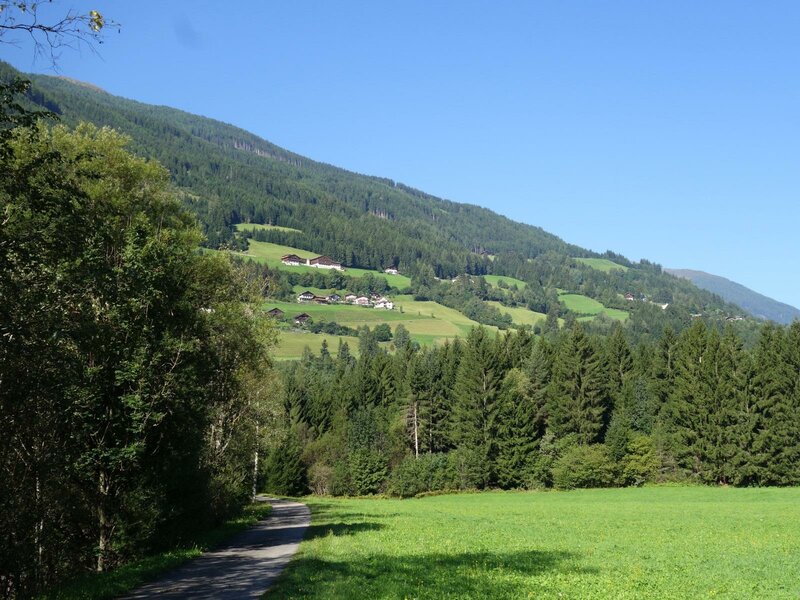
In the 13th century, mining started flourishing in the municipal area and reached its zenith in the 15th century. The mines in the Michelbachtal valley and along the Göriachbach river were kept in service up to the 20th century. Nowadays, Schlaiten is calm holiday resort which stretches up to the ridges of the Villgraten Mountains and provides a large number of MTB and hiking trails. In winter, the skiing area of Lienz, called Lienzer Bergbahnen, is only 10 km away.
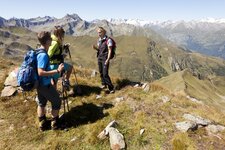
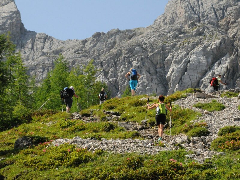
Furthermore, Schlaiten is located close to the High Tauern National Park. The glaciated mountain tops with the outstanding 3,798 m high Grossglockner, a mountain that is referred to as the "King of the Eastern Alps", is impressive seen from the bottom of the valley alone. And if you decide going for a hike, you can experience the unique landscape from close quarters and maybe see one of its inhabitants, such as the Alpine salamander, the lammergeier or the marmot.